© Hochkönig - Evelyn Bürgler

- Scurtă descriere
-
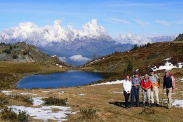
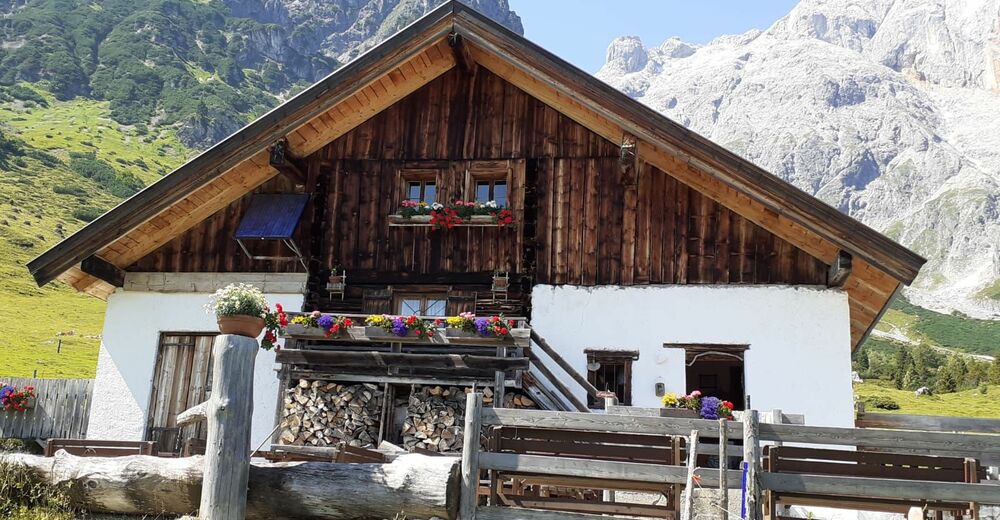
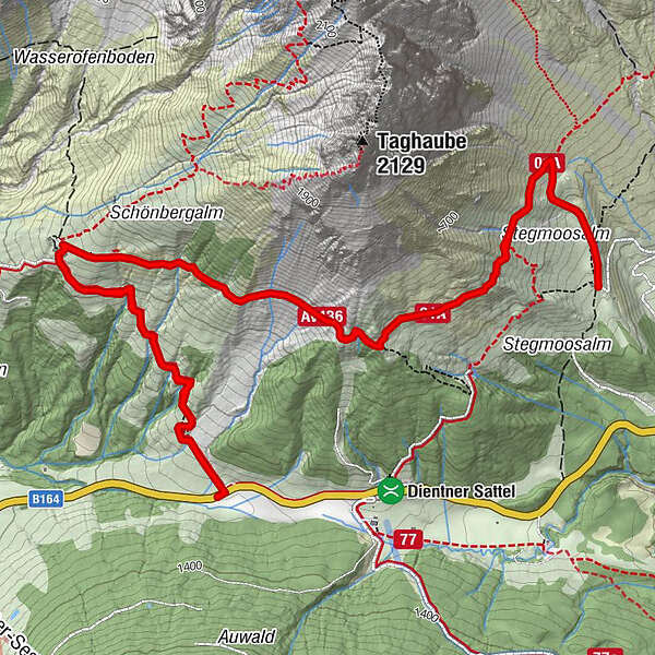
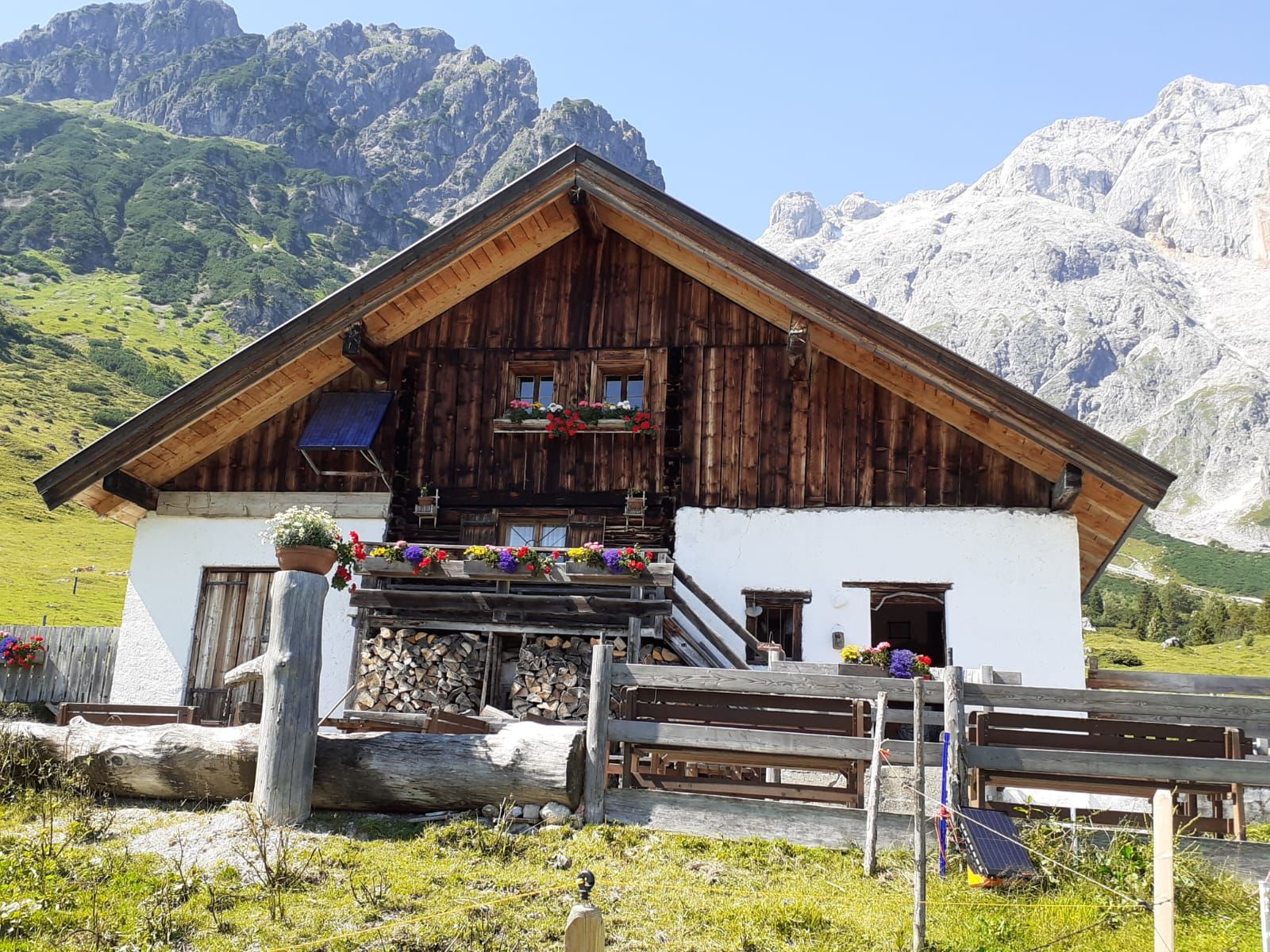
When hiking in the Hochkönig region, each step leads you deeper into nature. Fresh mountain air, towering rocks, idyllic hill farms, lush meadows, and legendary views of the alpine world – this is a balm for the soul. The network of hiking paths is well signposted and designated with the Austrian Hiking Seal of Quality.
- Greutăţi
-
mediu
- Evaluare
-
- Cel mai bun sezon
-
ianfebmaraprmaiiuniulaugsepoctnovdec
- Cel mai înalt punct
- 1.590 m
- Destinație
-
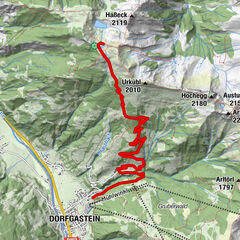
Dientner Sattel
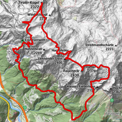
- Profil de elevație
-

- Autor
-
Turul Flatly path Dientner Sattel - Stegmoosalm este utilizat de outdooractive.com furnizat.
GPS Downloads


Informaţii generale
Oprire pentru băuturi răcoritoare
Sfat din interior
Promițător
Mai multe tururi în regiuni
-
Hochkönig
2024
-
Dienten am Hochkönig
536