© (c) Peter Kühnl - Saalfelden Leogang

© Saalfelden Leogang Touristik GmbH - Saalfelden Leogang

© Saalfelden Leogang Touristik GmbH - Saalfelden Leogang

© Saalfelden Leogang Touristik GmbH - Michael Geißler

- Scurtă descriere
-
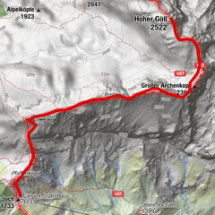
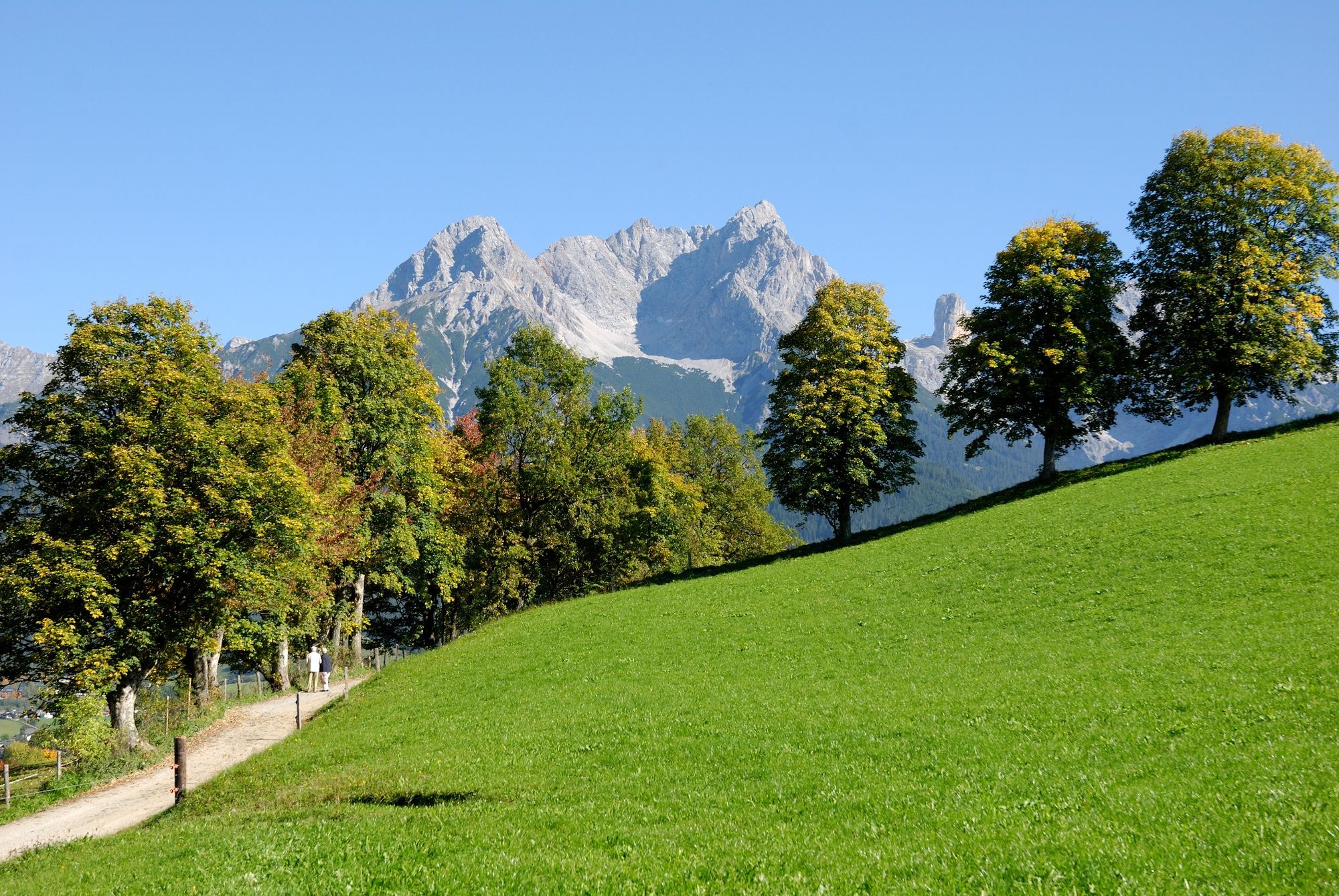
Easy hike with stunning view of the mountain ranges of Leogang and Saalfelden as well as the Hochkönig mountains
- Greutăţi
-
uşor
- Evaluare
-
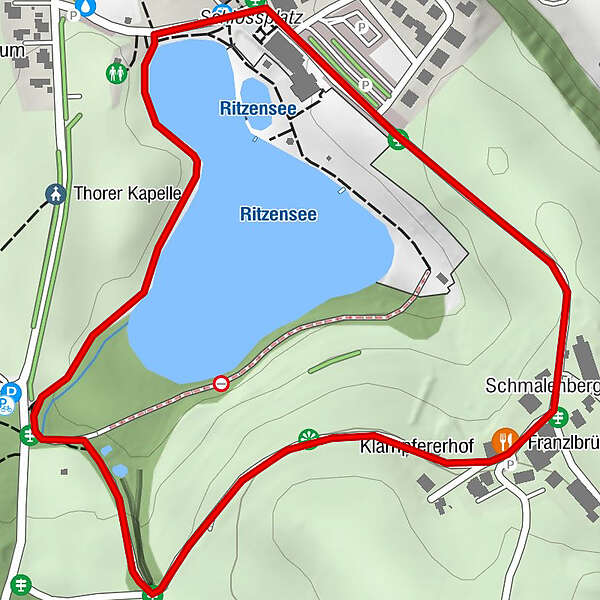
- Ruta
-
ThorFranzlbrünnl-Stubn1,1 kmSchmalenbergham1,2 kmSaalfelden am Steinernen Meer (748 m)1,9 km
- Cel mai bun sezon
-
ianfebmaraprmaiiuniulaugsepoctnovdec
- Cel mai înalt punct
- 801 m
- Destinație
-
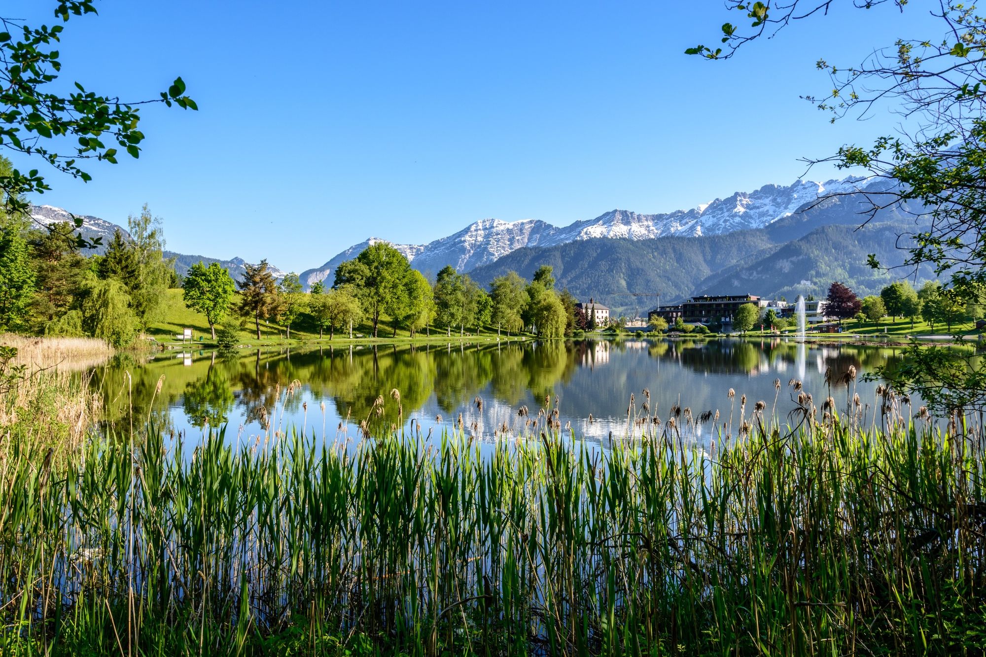
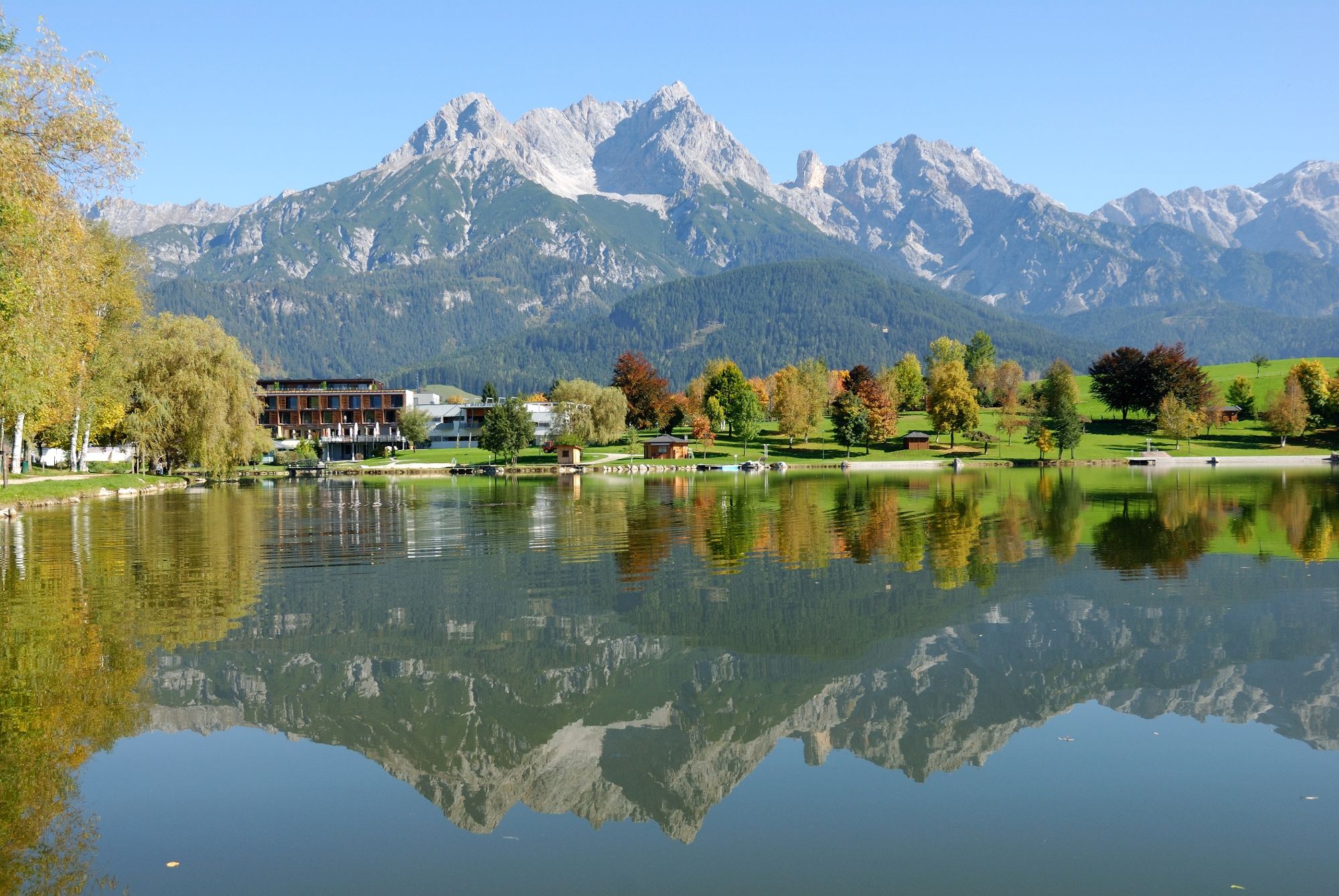
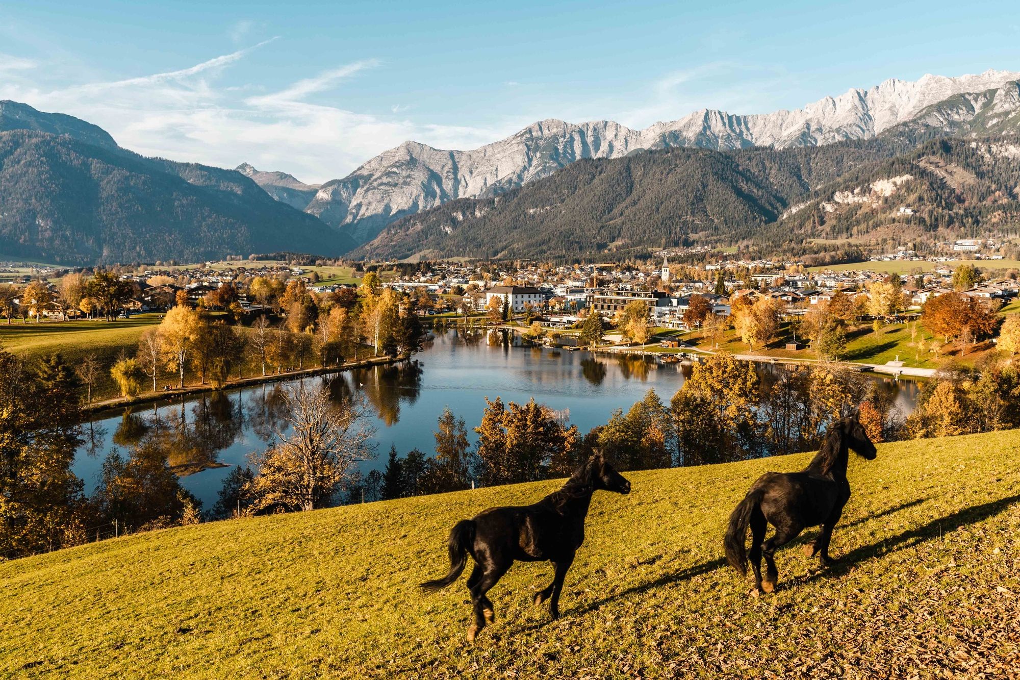
Seeufer Ritzensee Saalfelden
- Profil de elevație
-

-

-
AutorTurul Lake Ritzensee Circular Trail este utilizat de outdooractive.com furnizat.
GPS Downloads


Informaţii generale
Oprire pentru băuturi răcoritoare
Promițător
Mai multe tururi în regiuni
-
Saalfelden - Leogang
1814
-
Saalfelden
466