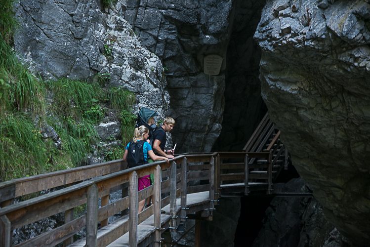
© Salzburger Saalachtal Tourismus - (C) Achim Meurer

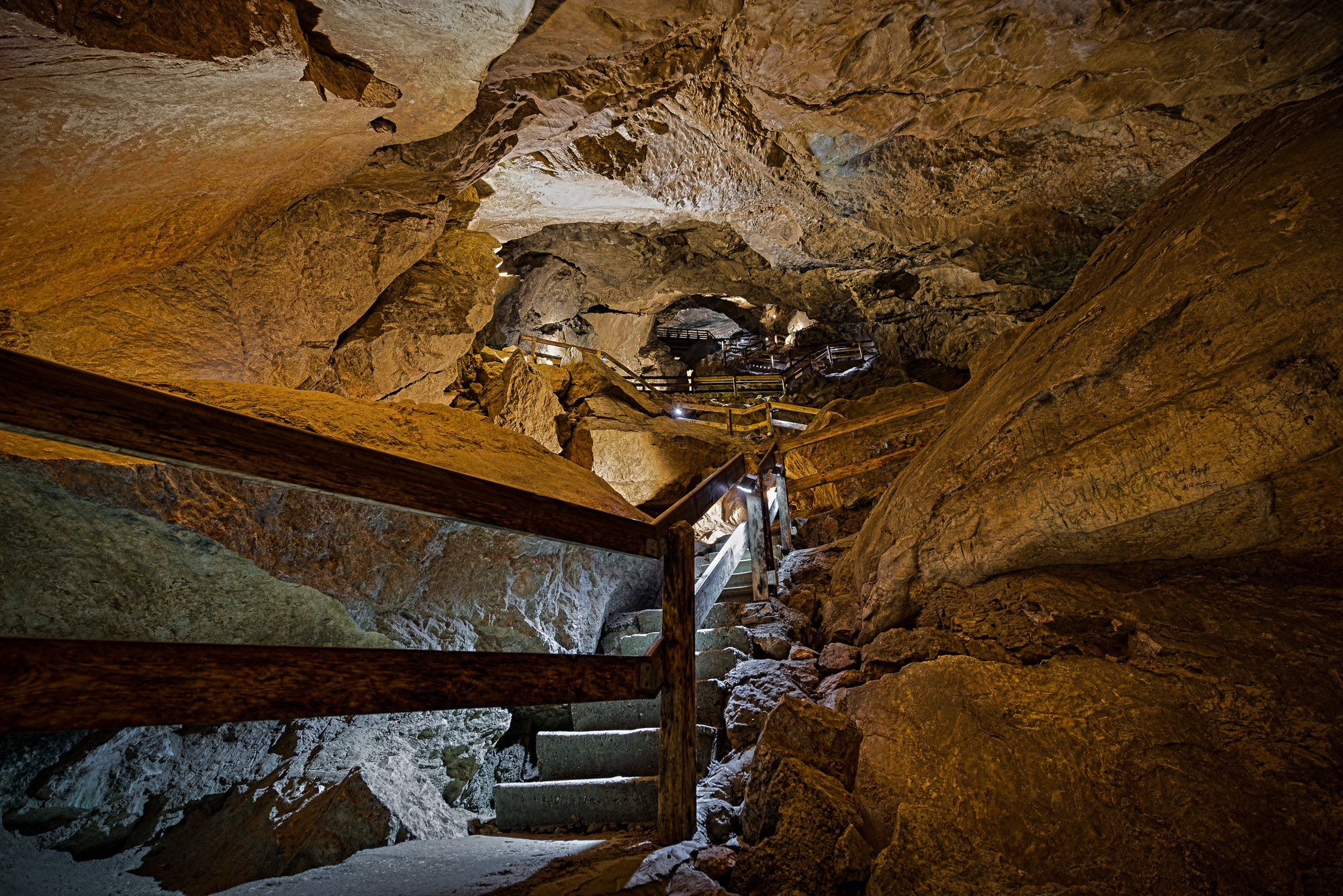
© Salzburger Saalachtal Tourismus - (C) Edith Danzer

© Salzburger Saalachtal Tourismus - Maximilian Nikelski
- Scurtă descriere
- Greutăţi
-
mediu
- Evaluare
-
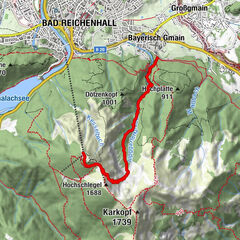
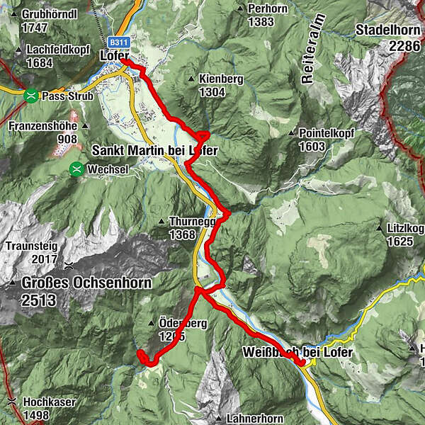
- Ruta
-
OberweißbachPfarrkirche zur Heiligsten DreifaltigkeitUnterweißbach0,3 kmWeißbach bei Lofer0,4 kmLandgasthof Seisenbergklamm0,4 kmGasthaus Lamprechtshöhle1,2 kmVorderkaserklamm7,1 kmStrohwolln14,5 kmStrohwollner Schlucht15,3 kmLofer18,5 km
- Cel mai bun sezon
-
ianfebmaraprmaiiuniulaugsepoctnovdec
- Cel mai înalt punct
- 896 m
- Destinație
-
Lofer Tourist Info
- Profil de elevație
-

-

-
AutorTurul Route of the Gorges - Hikingday no. 6 este utilizat de outdooractive.com furnizat.
GPS Downloads


Informaţii generale
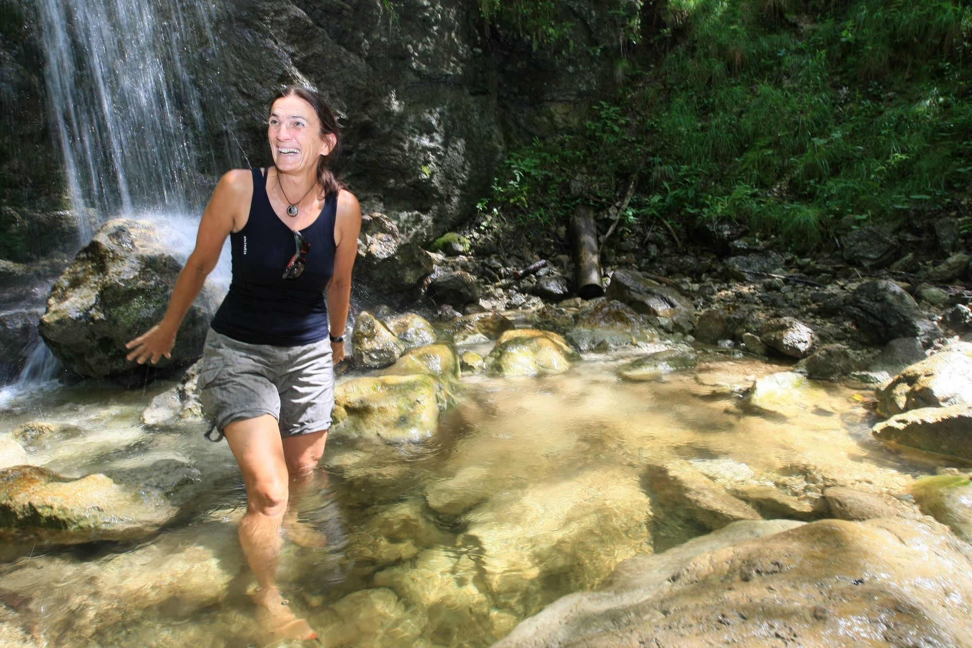
Oprire pentru băuturi răcoritoare
Flora
Mai multe tururi în regiuni