


- Scurtă descriere
-
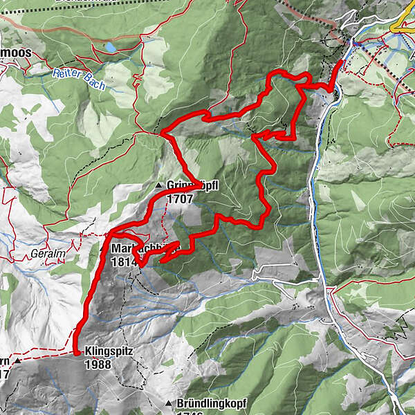
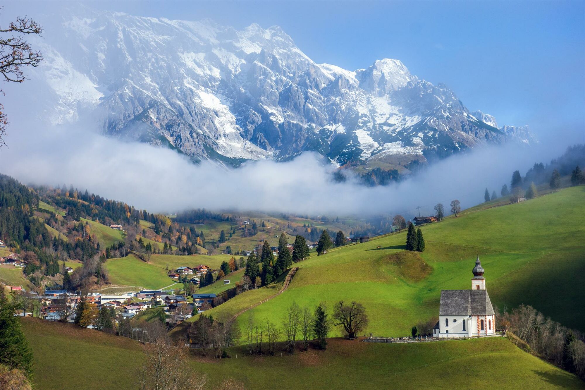
Alpine hike to the Klingspitz via the Lettenalm.
- Greutăţi
-
mediu
- Evaluare
-
- Ruta
-
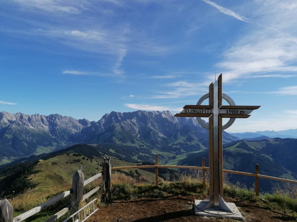
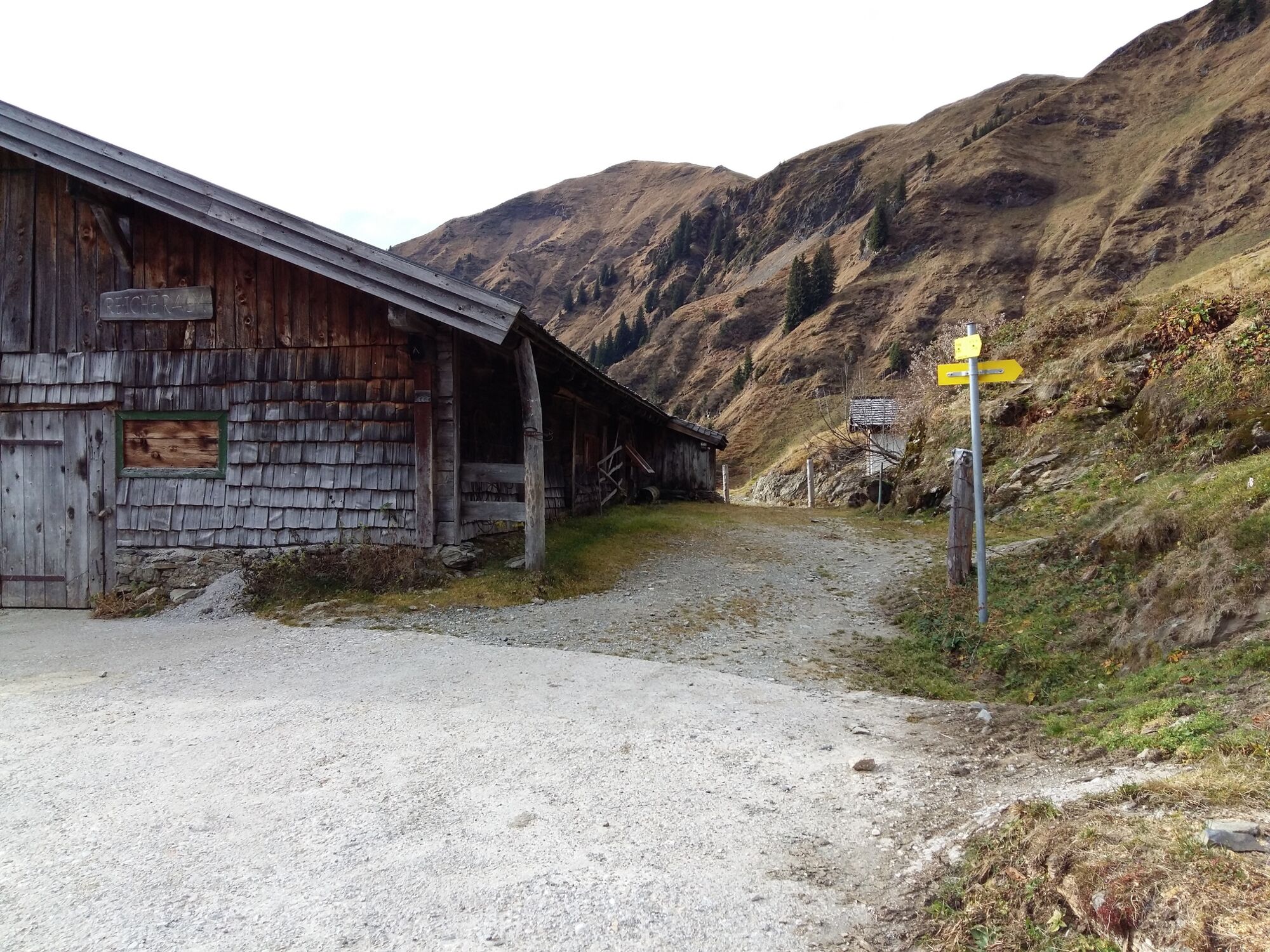
Dienten am Hochkönig0,0 kmMarbachhöhe (1.814 m)6,1 kmKlingspitz (1.988 m)7,4 kmMarbachhöhe (1.814 m)9,0 kmGrünegg Alm14,9 kmDienten am Hochkönig16,5 km
- Cel mai bun sezon
-
ianfebmaraprmaiiuniulaugsepoctnovdec
- Cel mai înalt punct
- 1.965 m
- Destinație
-
Village of Dienten
- Profil de elevație
-


- Autor
-
Turul Alpine hike to the Klingspitz via the Reicheralm este utilizat de outdooractive.com furnizat.
GPS Downloads


Informaţii generale
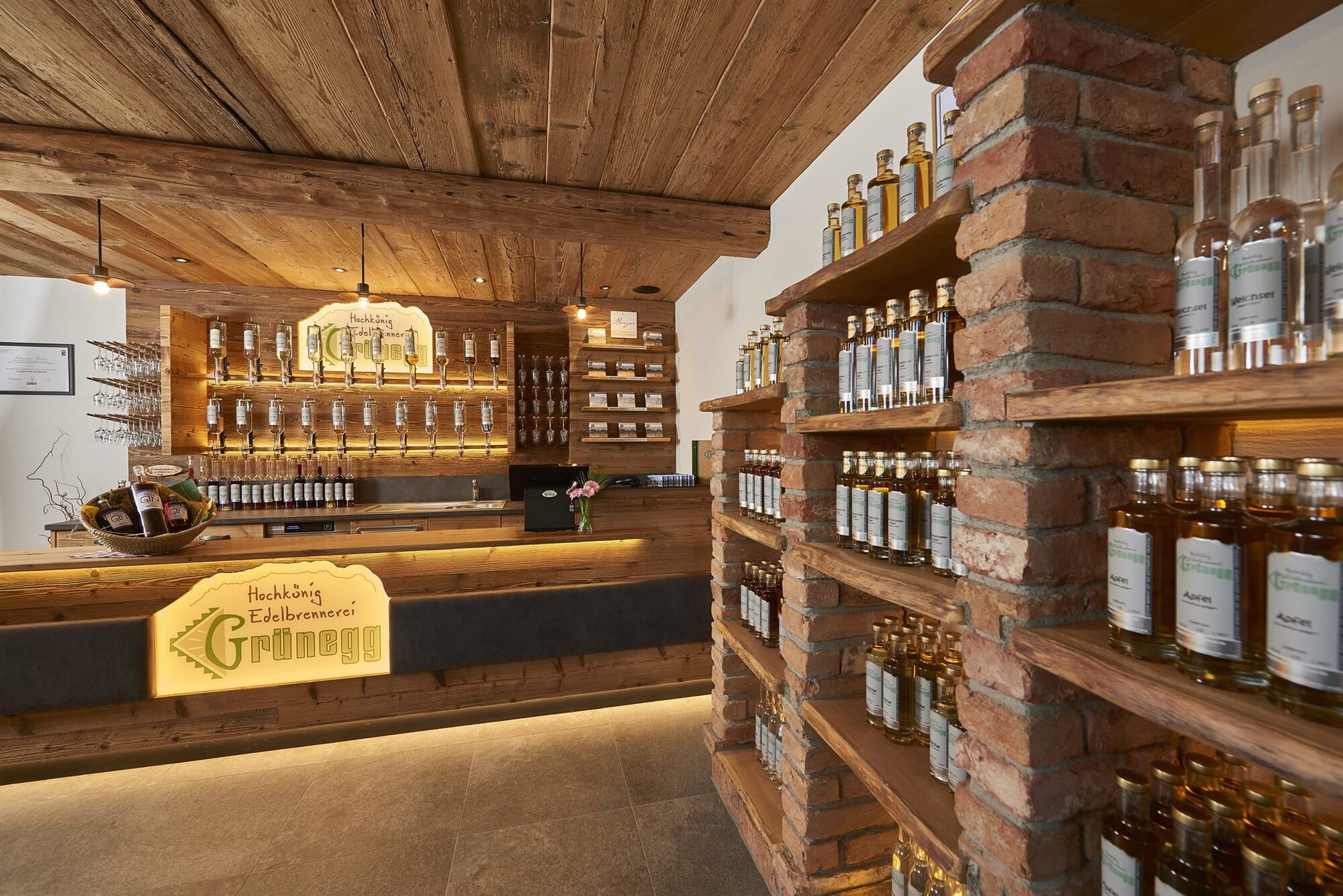
Oprire pentru băuturi răcoritoare
Sfat din interior
Promițător
Mai multe tururi în regiuni
-
Hochkönig
2023
-
Dienten am Hochkönig
536


