© Salzburger Saalachtal Tourismus - Elisabeth Schmiderer

© Salzburger Saalachtal Tourismus - Elisabeth Schmiderer

© Salzburger Saalachtal Tourismus - Elisabeth Schmiderer

© Salzburger Saalachtal Tourismus - Elisabeth Schmiderer

© Salzburger Saalachtal Tourismus - Elisabeth Schmiderer

© Salzburger Saalachtal Tourismus - Elisabeth Schmiderer

© Salzburger Saalachtal Tourismus - Elisabeth Schmiderer

© Salzburger Saalachtal Tourismus - Elisabeth Schmiderer

© Salzburger Saalachtal Tourismus - Elisabeth Schmiderer

© Salzburger Saalachtal Tourismus - Elisabeth Schmiderer

- Scurtă descriere
-
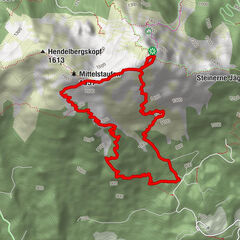
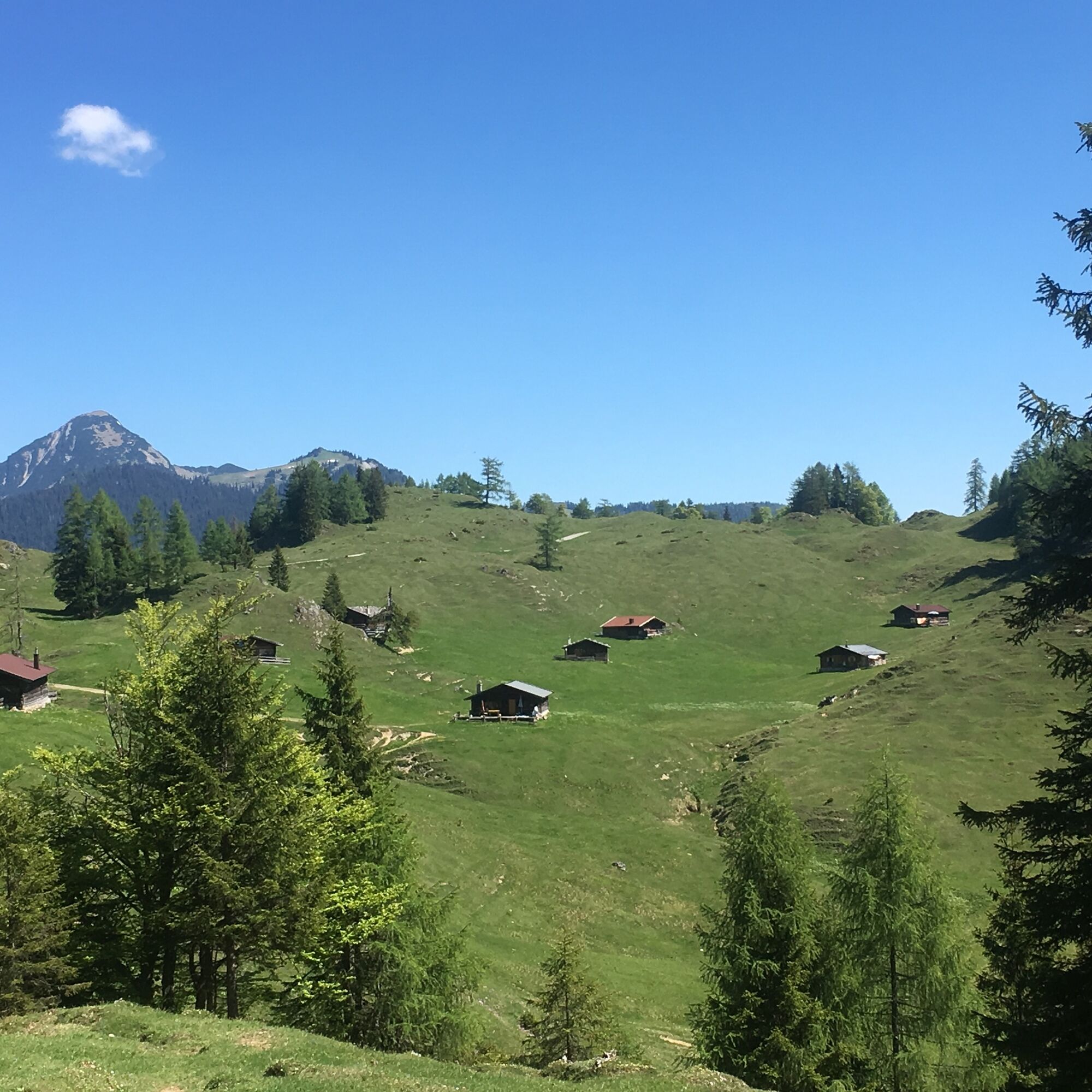
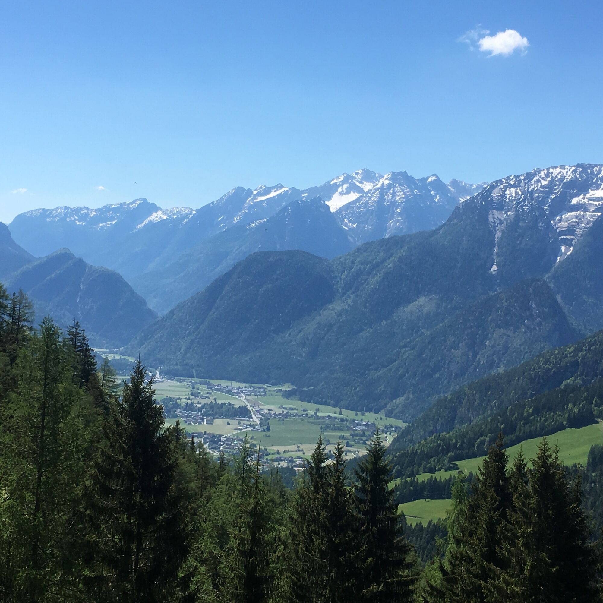
Beautiful circular hike on the traces of former alpine life. From Unkenberg via the Thälernalm, the Thälernkogel - past the Astenalm and the Hornwiesalm - possibly with an ascent of the Dietrichshorn - via the Hoisenhöhe and the Unkenberger Mähder back to the car park.
- Greutăţi
-
mediu
- Evaluare
-
- Ruta
-
Astenalm4,7 km
- Cel mai bun sezon
-
ianfebmaraprmaiiuniulaugsepoctnovdec
- Cel mai înalt punct
- 1.376 m
- Destinație
-
Unken - Unkenberg car park
- Profil de elevație
-


-

-
AutorTurul Panoramic hike around the Dietrichshorn este utilizat de outdooractive.com furnizat.
GPS Downloads


Informaţii generale
Promițător
Mai multe tururi în regiuni