


- Scurtă descriere
-
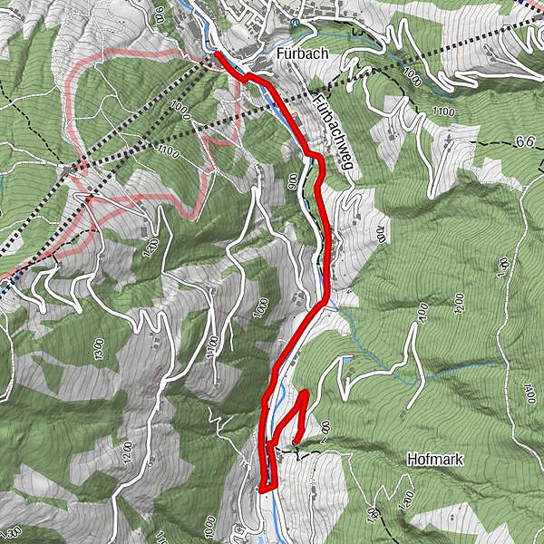
Comfortable, family-friendly hike to the Bauernstüberl!
- Greutăţi
-
uşor
- Evaluare
-
- Ruta
-
Fürbach0,3 kmBauernstübel3,3 km
- Cel mai bun sezon
-
ianfebmaraprmaiiuniulaugsepoctnovdec
- Cel mai înalt punct
- 954 m
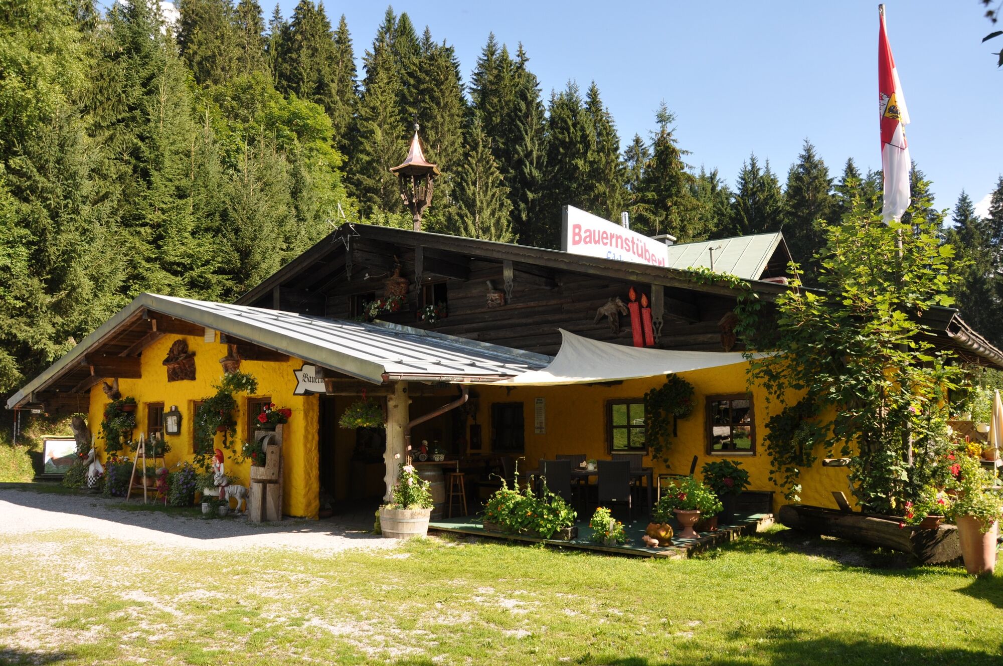
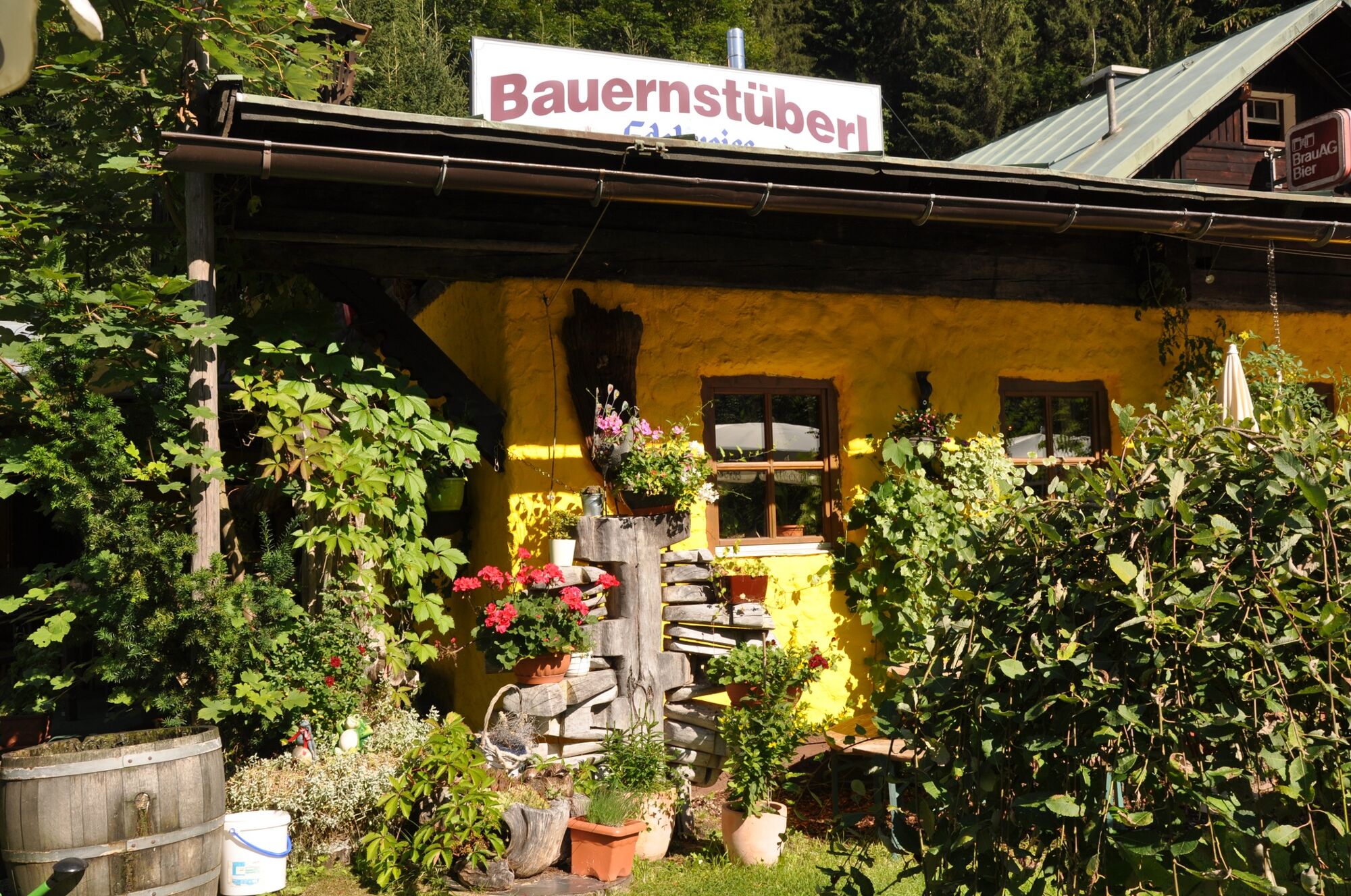
- Destinație
-
Bauernstüberl in Wagrain
- Profil de elevație
-

- Autor
-
Turul Bauernstüberl via the Kleinarl hiking trail este utilizat de outdooractive.com furnizat.
GPS Downloads


Informaţii generale
Oprire pentru băuturi răcoritoare
Mai multe tururi în regiuni


