© Fotograf Florian Bachmeier - Tourismusverband Raurisertal

© Fotograf Florian Bachmeier - Tourismusverband Raurisertal

© Unbekannt - Tourismusverband Raurisertal

- Scurtă descriere
-
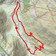
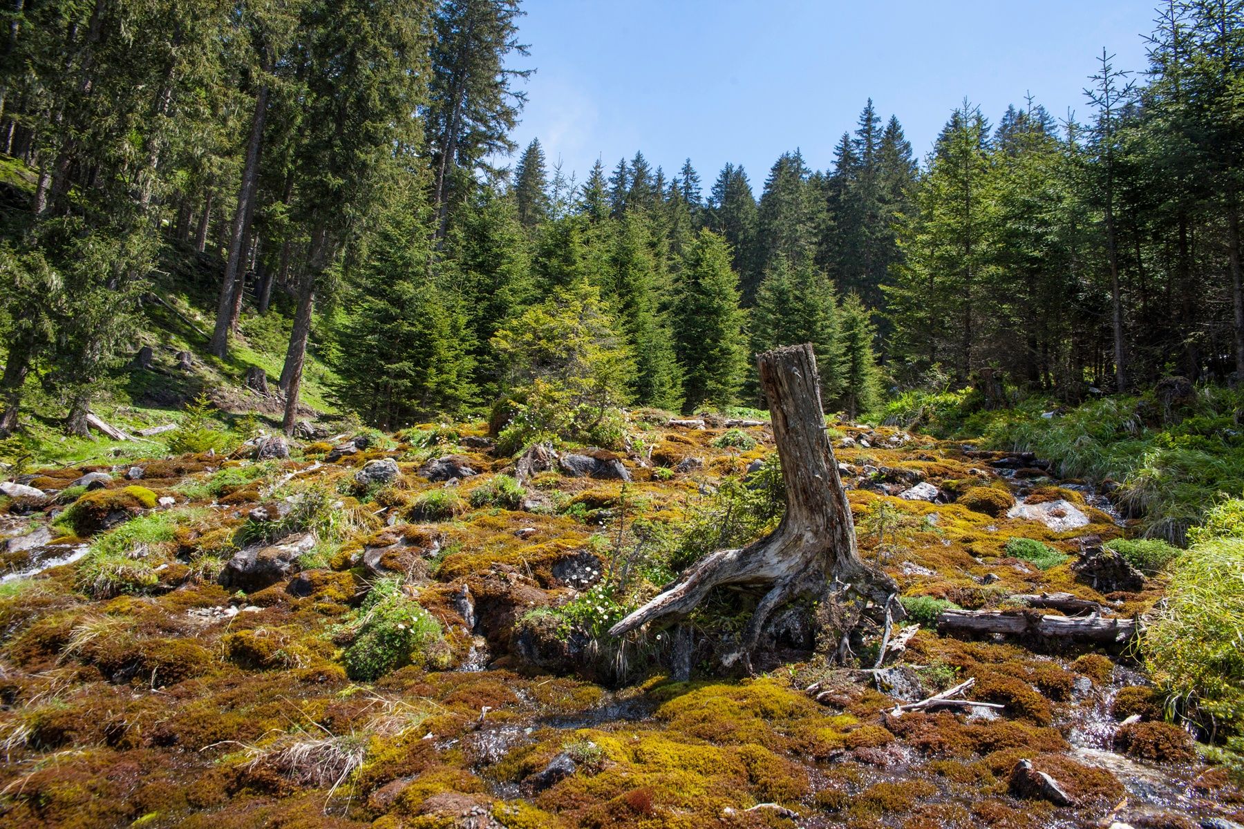
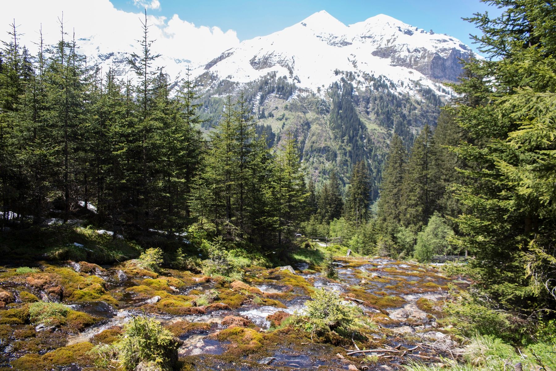
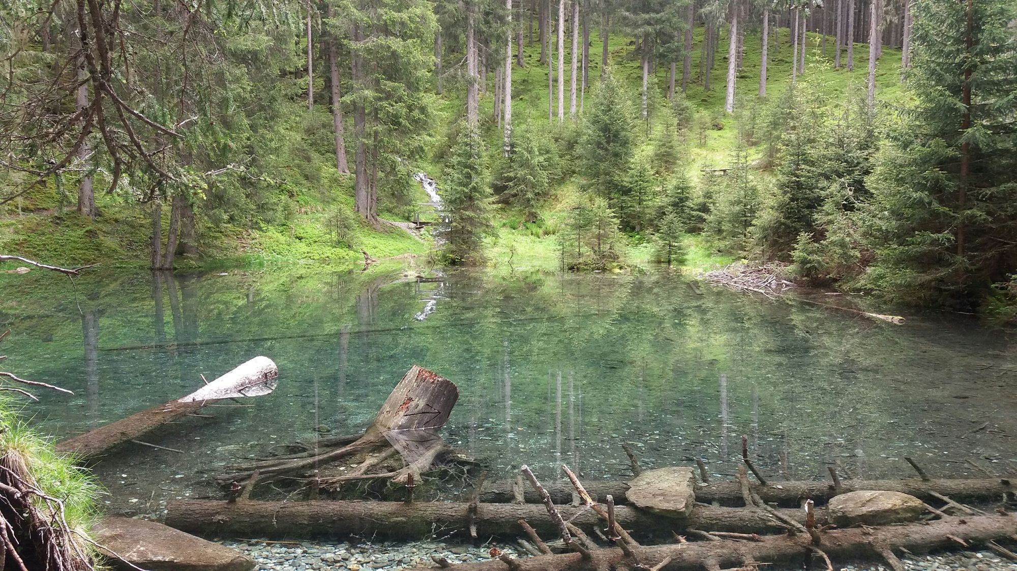
The hike to the "Rauriser UrQuell" power place is really refreshing. More than 300 natural springs, countless waterfalls and mountain streams can be found in the Rauris Valley. In the "Valley of the Springs" you will find the Rauriser UrQuell as well as the water information path in the Seidlwinkltal, the Summererpark water playground, the Kitzlochklamm in Taxenbach and numerous drinking water fountains along the hiking trails.
- Greutăţi
-
uşor
- Evaluare
-
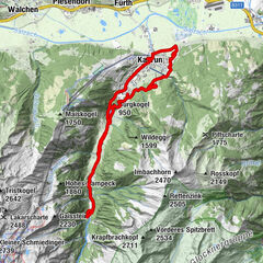
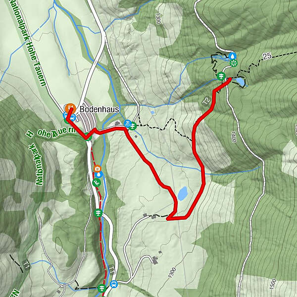
- Ruta
-
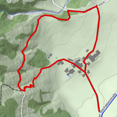
Bodenhaus0,0 kmWaldgeheimnis1,6 km
- Cel mai bun sezon
-
ianfebmaraprmaiiuniulaugsepoctnovdec
- Cel mai înalt punct
- 1.387 m
- Destinație
-
Rauriser well
- Profil de elevație
-

-
-
AutorTurul Rauris: Rauriser UrQuell No. 25 este utilizat de outdooractive.com furnizat.
GPS Downloads


Informaţii generale
Oprire pentru băuturi răcoritoare
Cultural/Istoric
Sfat din interior
Flora
Fauna
Promițător
Mai multe tururi în regiuni