© Tourismusverband Flachau - Flachau Tourismus

© Tourismusverband Flachau - Flachau Tourismus

© Tourismusverband Flachau - Flachau Tourismus

© Tourismusverband Flachau - Flachau Tourismus

© Tourismusverband Flachau - Flachau Tourismus

© Tourismusverband Flachau - Flachau Tourismus

© Tourismusverband Flachau - Flachau Tourismus

© Tourismusverband Flachau - Flachau Tourismus

© Tourismusverband Flachau - Flachau Tourismus

© Tourismusverband Flachau - Flachau Tourismus

- Scurtă descriere
-
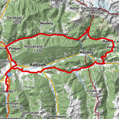
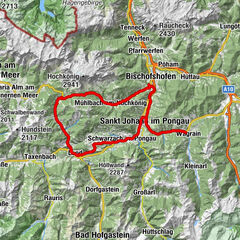
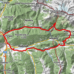
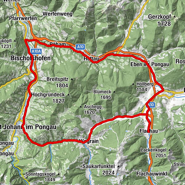
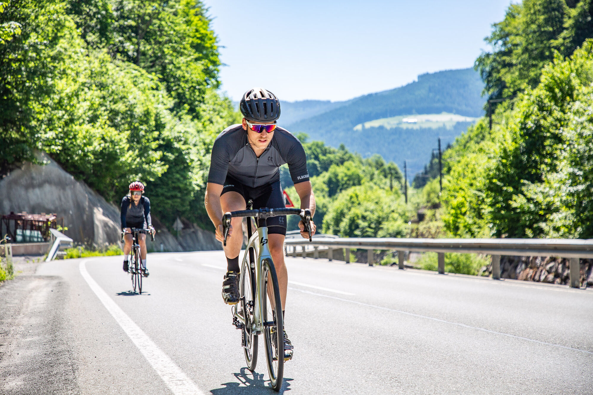
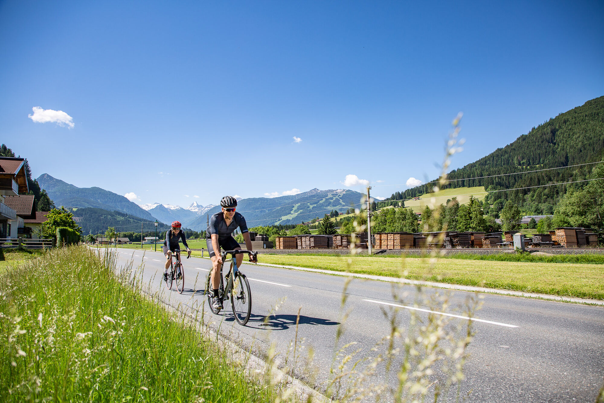
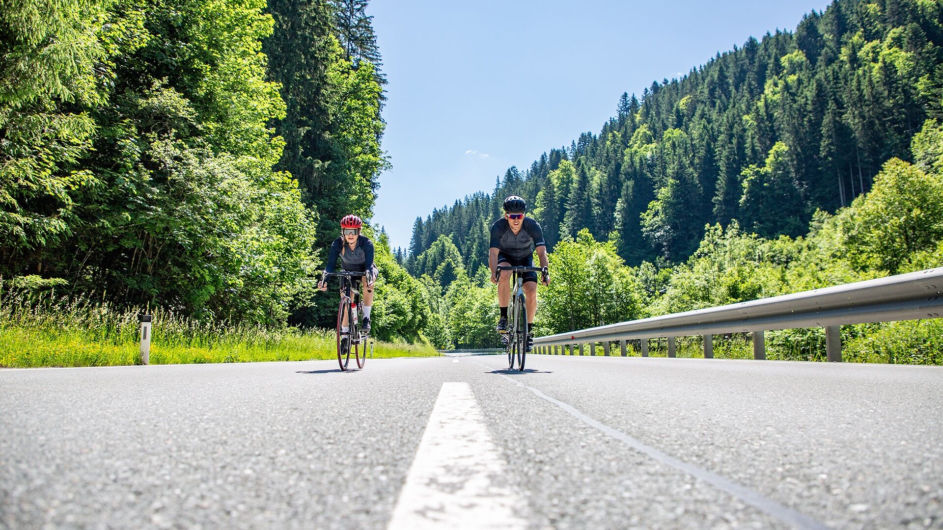
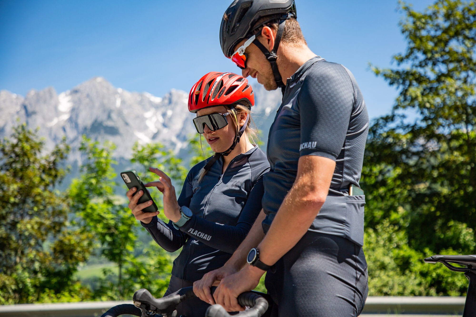
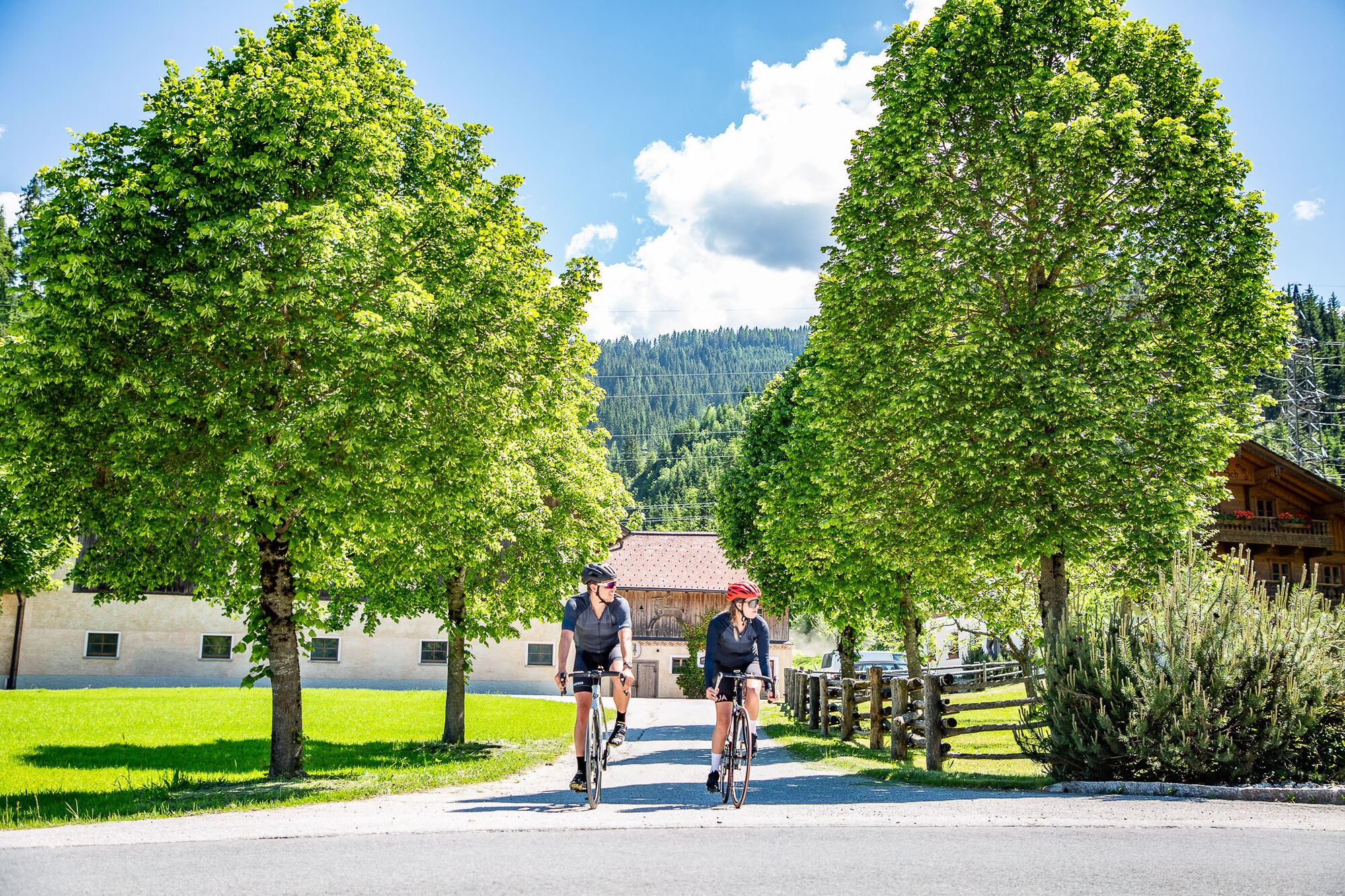
Light roadbike tour around a 60 km long line with a not very difficult, but long rise from St. Johann to Wagrain.
- Greutăţi
-
mediu
- Evaluare
-
- Ruta
-
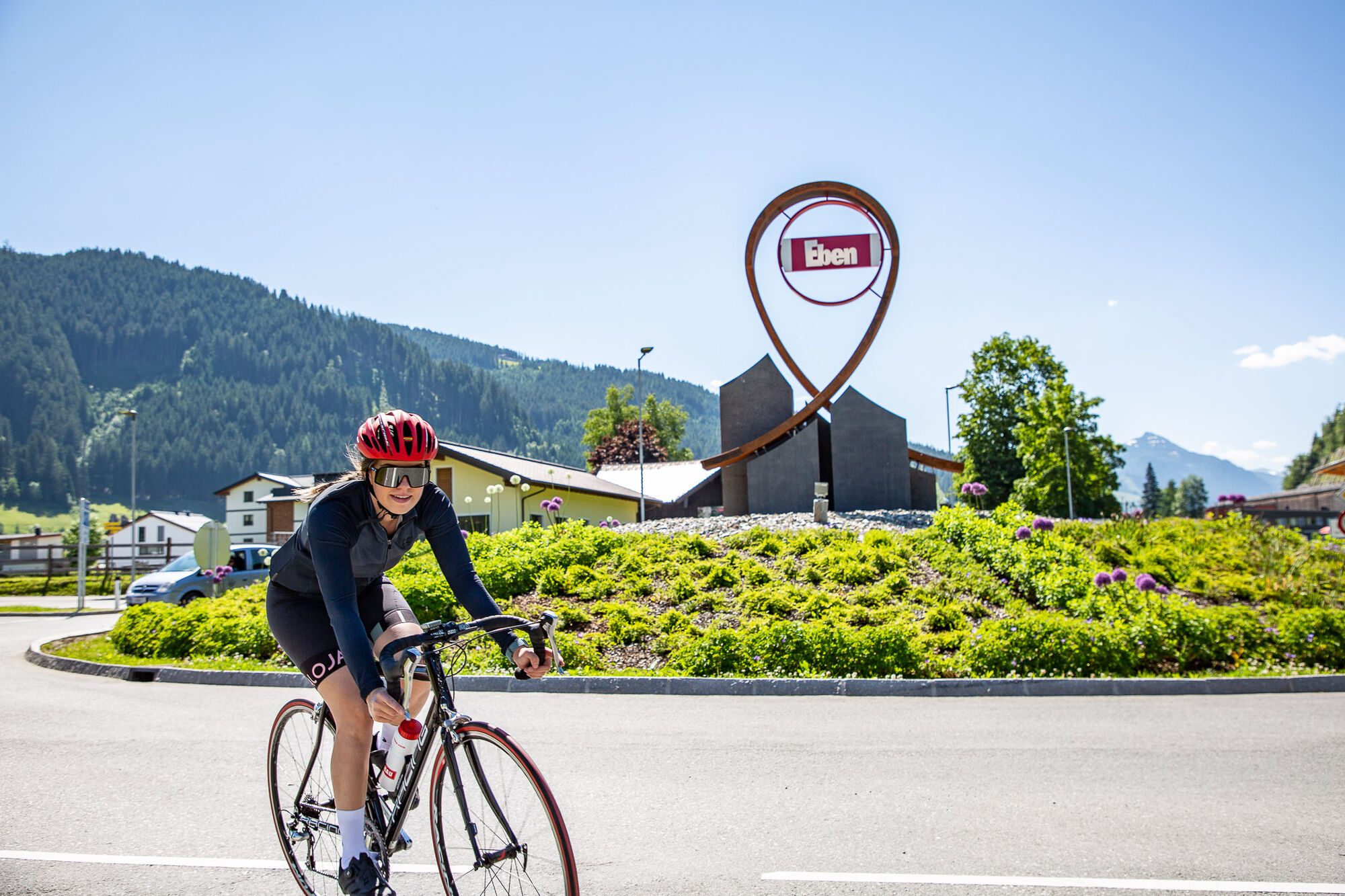
Flachau0,0 kmReitdorf3,4 kmSinnhub6,0 kmEben im Pongau8,8 kmSchwaiger8,8 kmSteiner's8,9 kmGasthof Ebnerwirt9,1 kmEben im Pongau9,3 kmImbiss Wieser9,6 kmGasthof Brunnhaeusl13,3 kmFritztalstube16,5 kmPostwirt "Darijo"16,6 kmHüttau16,7 kmPöham21,1 kmPöham21,3 kmBischofshofen27,4 kmBischofshofen27,5 kmPfarrkirche St. Maximillian27,9 kmPizzeria30,4 kmSankt Johann im Pongau36,0 kmEvang. Annakapelle36,1 kmPfarrkirche St. Johann36,1 kmGasthof Grubhöhe38,7 kmGoldanger44,2 kmFilalkirche Hl. Franziskus („Marktkirche“)44,6 kmMarkt44,6 kmWagrain44,9 kmWagrain45,1 kmHof45,6 kmMoos46,5 kmHubdörfl47,3 kmSchwaighof47,9 kmMoadörfl49,4 kmScharfettkapelle52,2 kmFeuersang52,6 kmFlachau55,1 km
- Cel mai bun sezon
-
ianfebmaraprmaiiuniulaugsepoctnovdec
- Cel mai înalt punct
- 953 m
- Destinație
-
Tourist office Flachau
- Profil de elevație
-


-

-
AutorTurul Around the Hochgründeck road bike tour este utilizat de outdooractive.com furnizat.
GPS Downloads


Informaţii generale
Oprire pentru băuturi răcoritoare
Mai multe tururi în regiuni
-
Salzburger Sportwelt
43
-
Hüttau
26