

© Archiv TVV, S.Theilig

© Archiv Tourismusverband Vogtland, T. Peisker

© Stadt Plauen

© Archiv Tourismusverband Vogtland e.V., T. Peisker

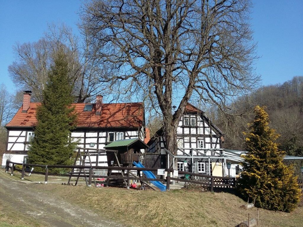
© Archiv Pfaffengut Plauen

© Archiv Stadt Plauen, A. Seidel

© Archiv Tourismusverband Vogtland, T.Peisker

© Archiv TVV, T. Peisker

© Archiv TVV, S. Theilig

© Archiv TVV, S. Theilig

- Scurtă descriere
-
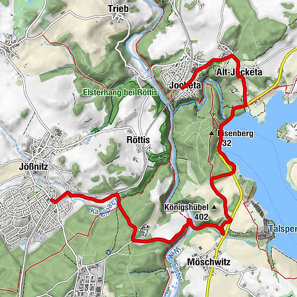
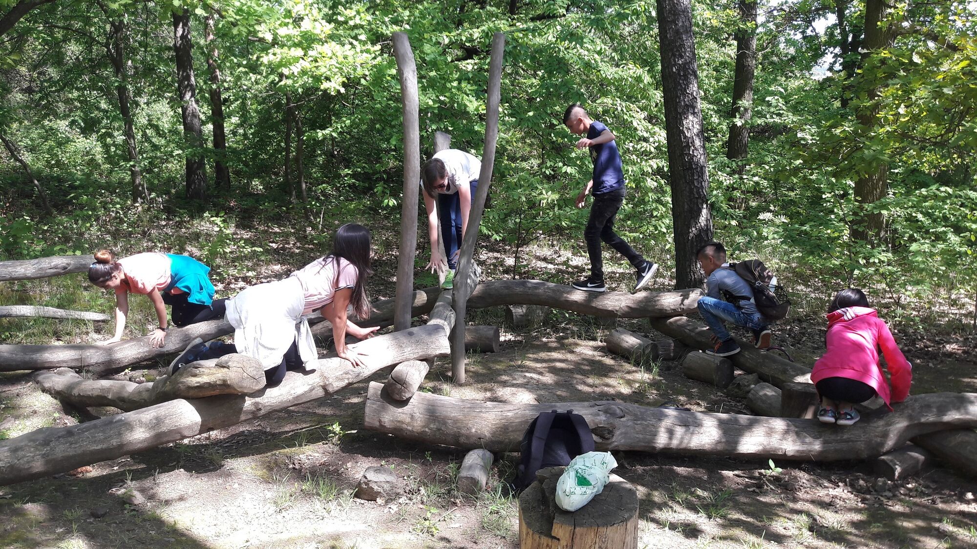
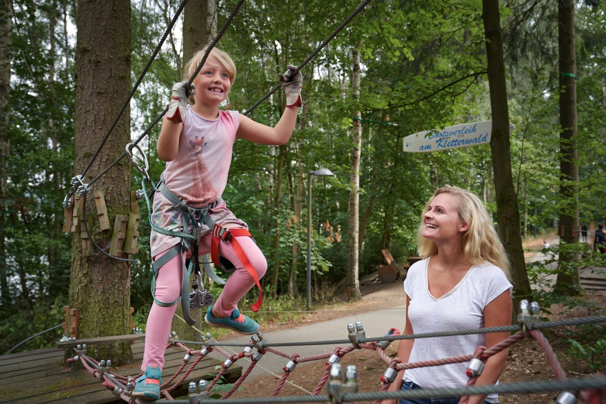
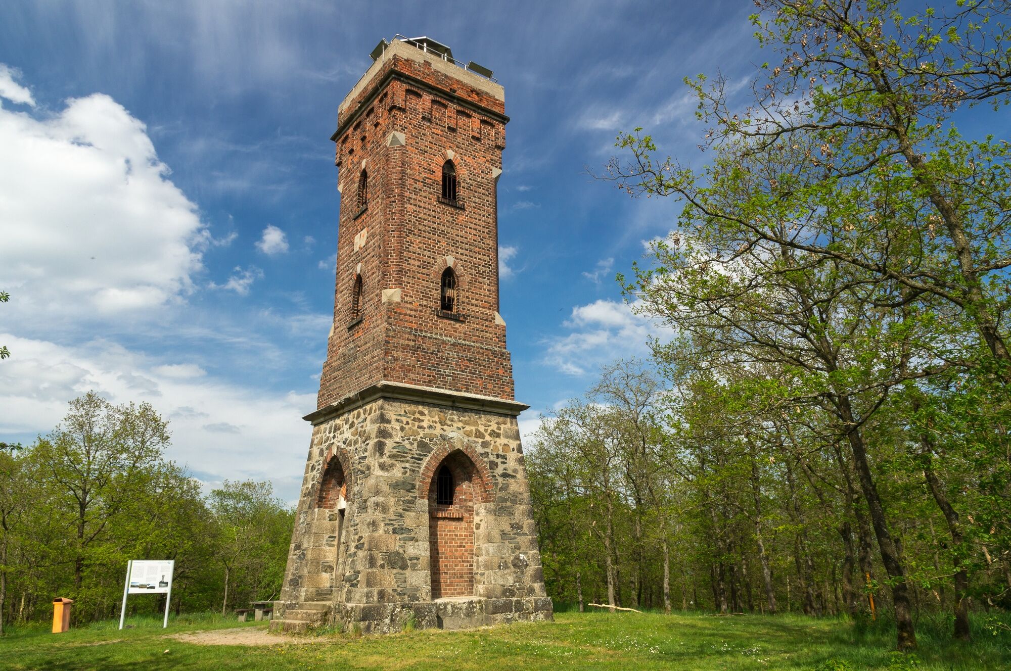
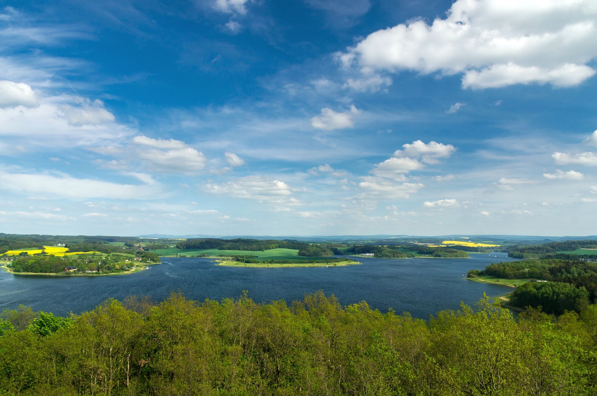
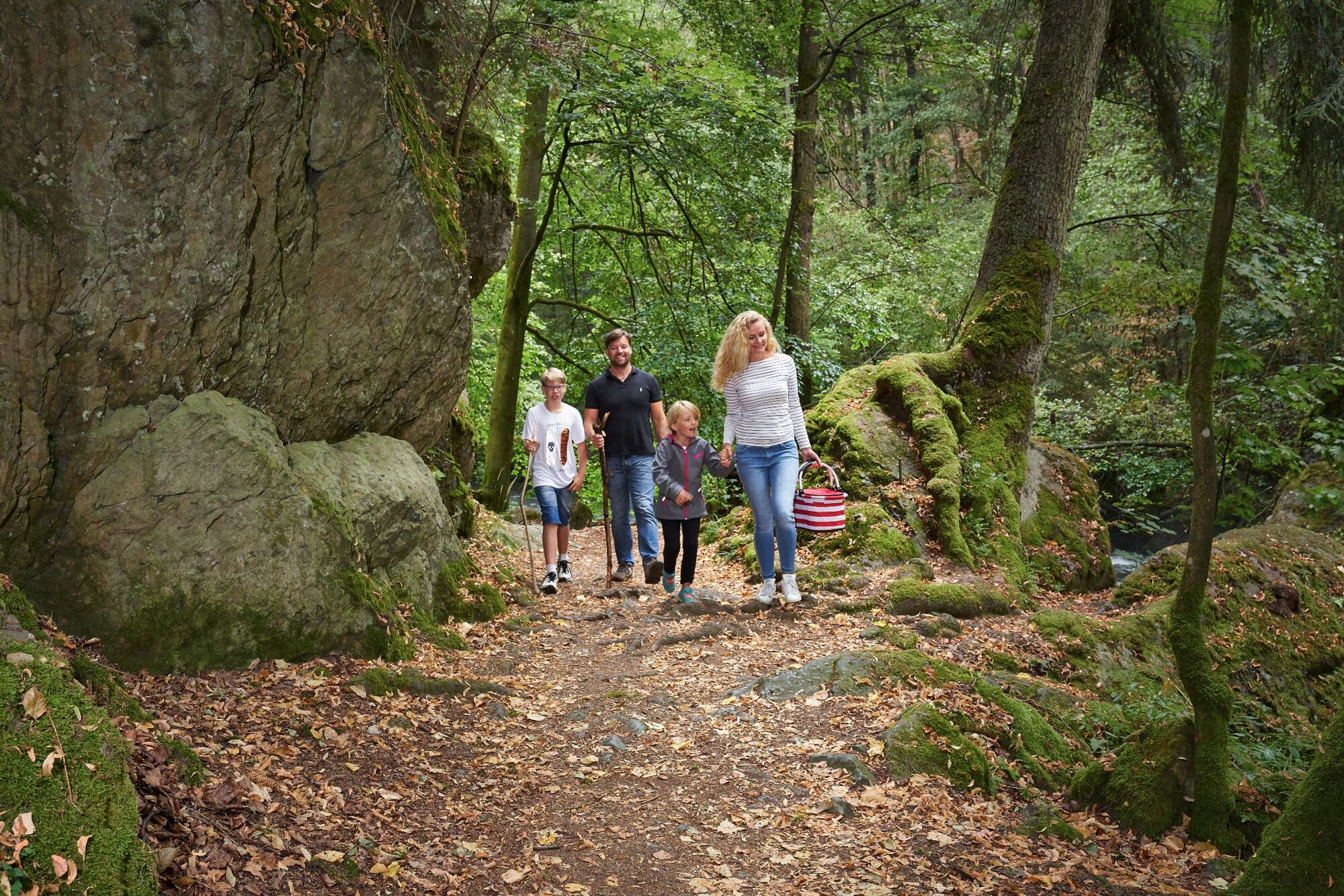
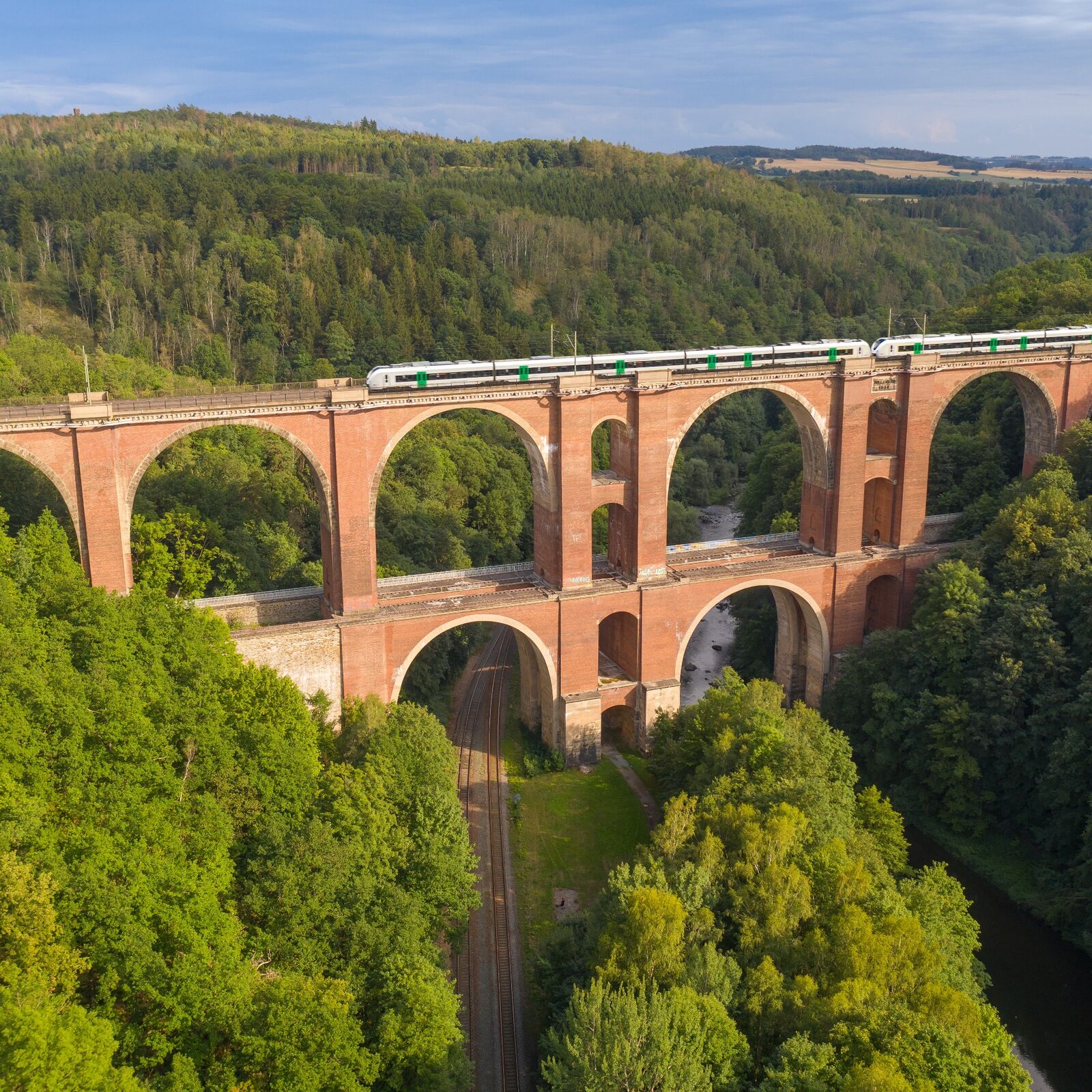
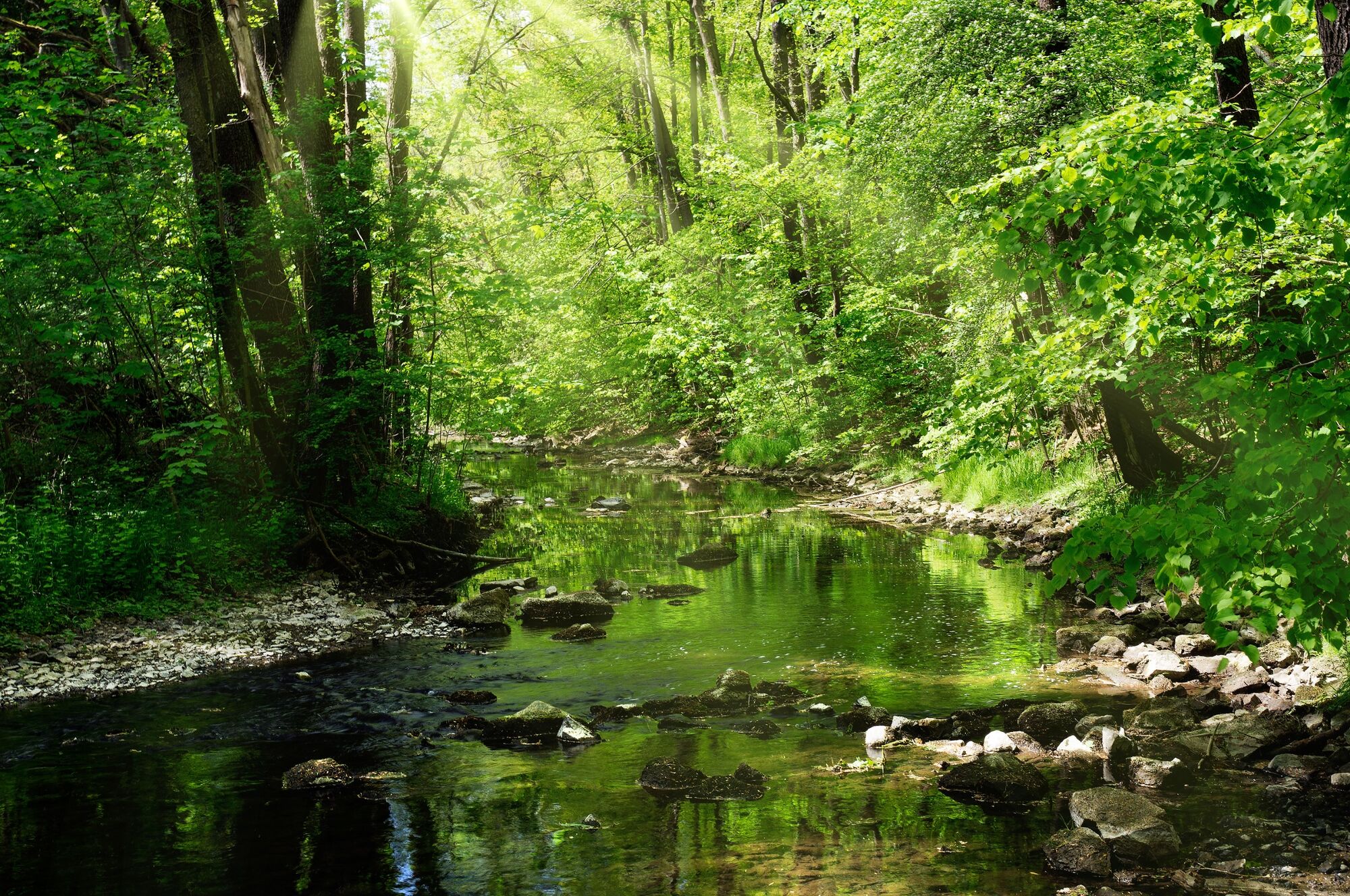
The countryside around Jößnitz delights with its charming unspoilt nature and interesting attractions, which become an experience on route J9.
- Greutăţi
-
mediu
- Evaluare
-
- Ruta
-
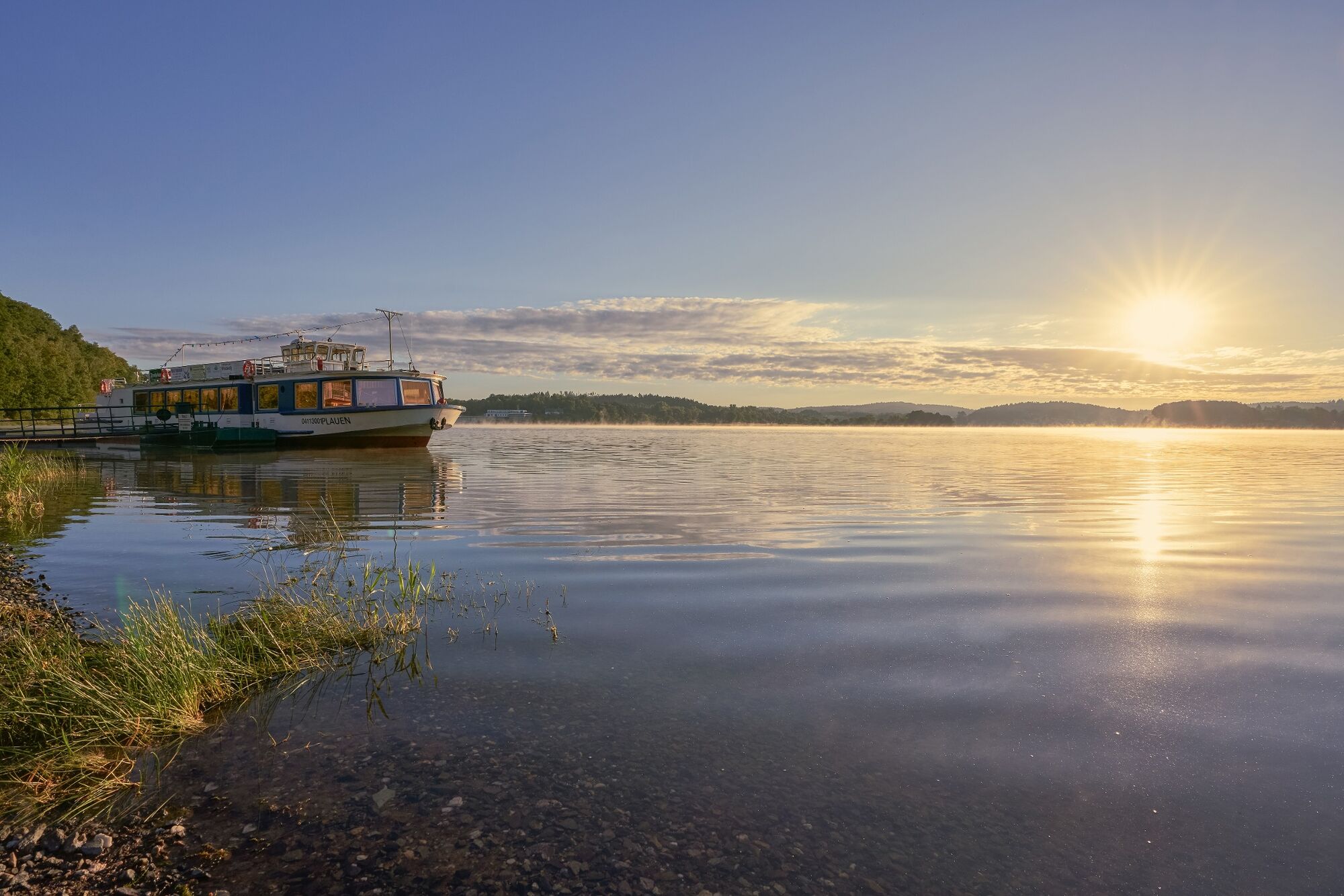
Pfaffenmühle1,3 kmPlauen2,1 kmLochbauer3,3 kmAnlegestelle Fahrgastschifffahrt5,7 kmAlt-Jocketa7,4 kmJocketa8,7 km
- Cel mai bun sezon
-
ianfebmaraprmaiiuniulaugsepoctnovdec
- Cel mai înalt punct
- 398 m
- Destinație
-
Jocketa railway stop
- Profil de elevație
-
 © outdooractive.com

- Autor
-
Turul J9 - Hike via the Pfaffengut to the Pöhl Dam este utilizat de outdooractive.com furnizat.
GPS Downloads


Informaţii generale
Flora
Promițător
Mai multe tururi în regiuni
-
Vogtland / Thüringen
666
-
Pöhl
92


