From Rosenthal through the Bielatal area to the Schweizer Mühle


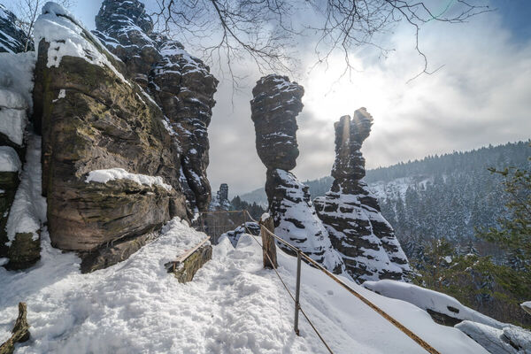
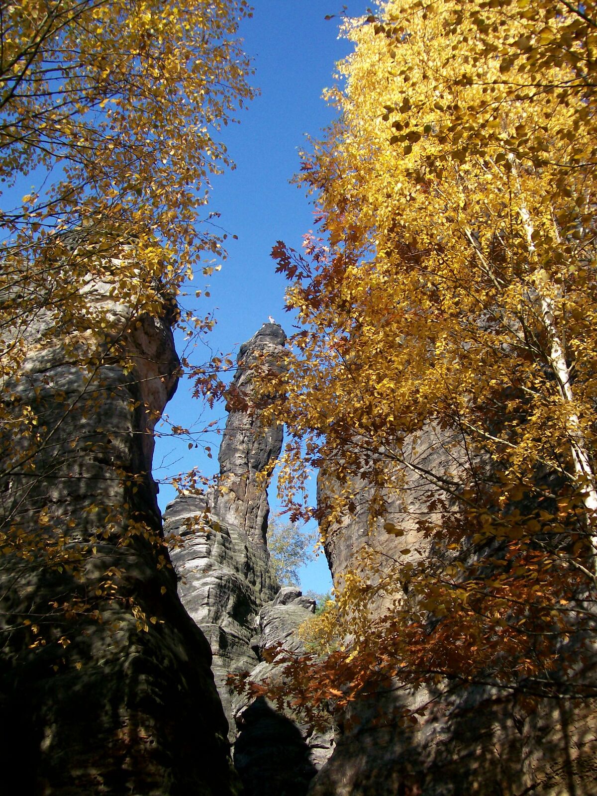
© Tourismusverband Sächsische Schweiz - Manuela Morawitz

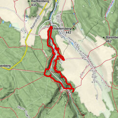
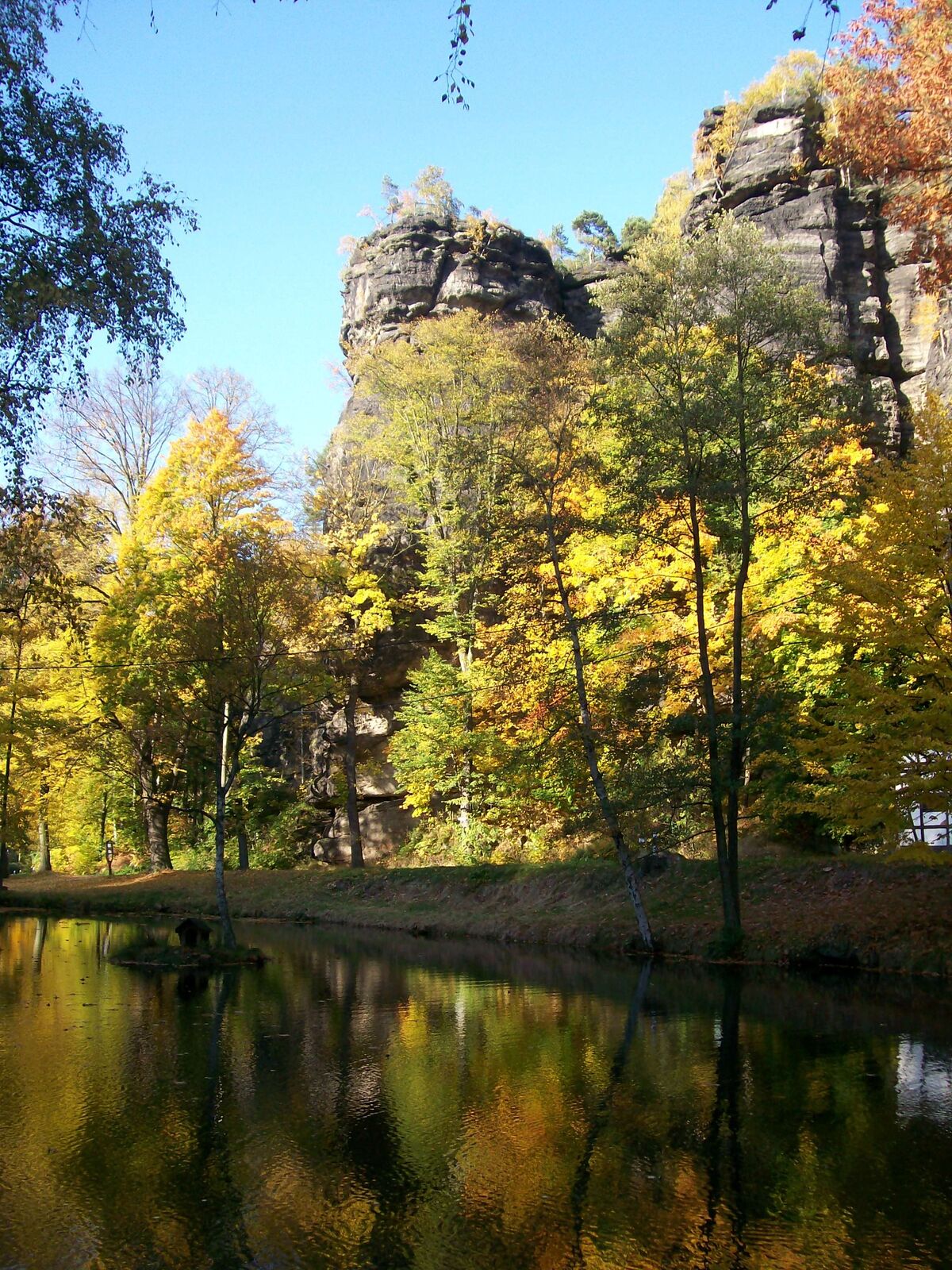
© Yvonne Brückner - Yvonne Brückner

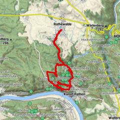
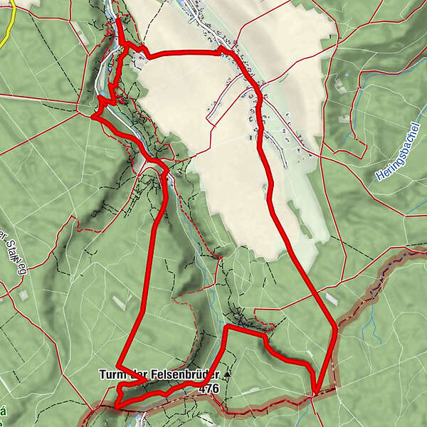
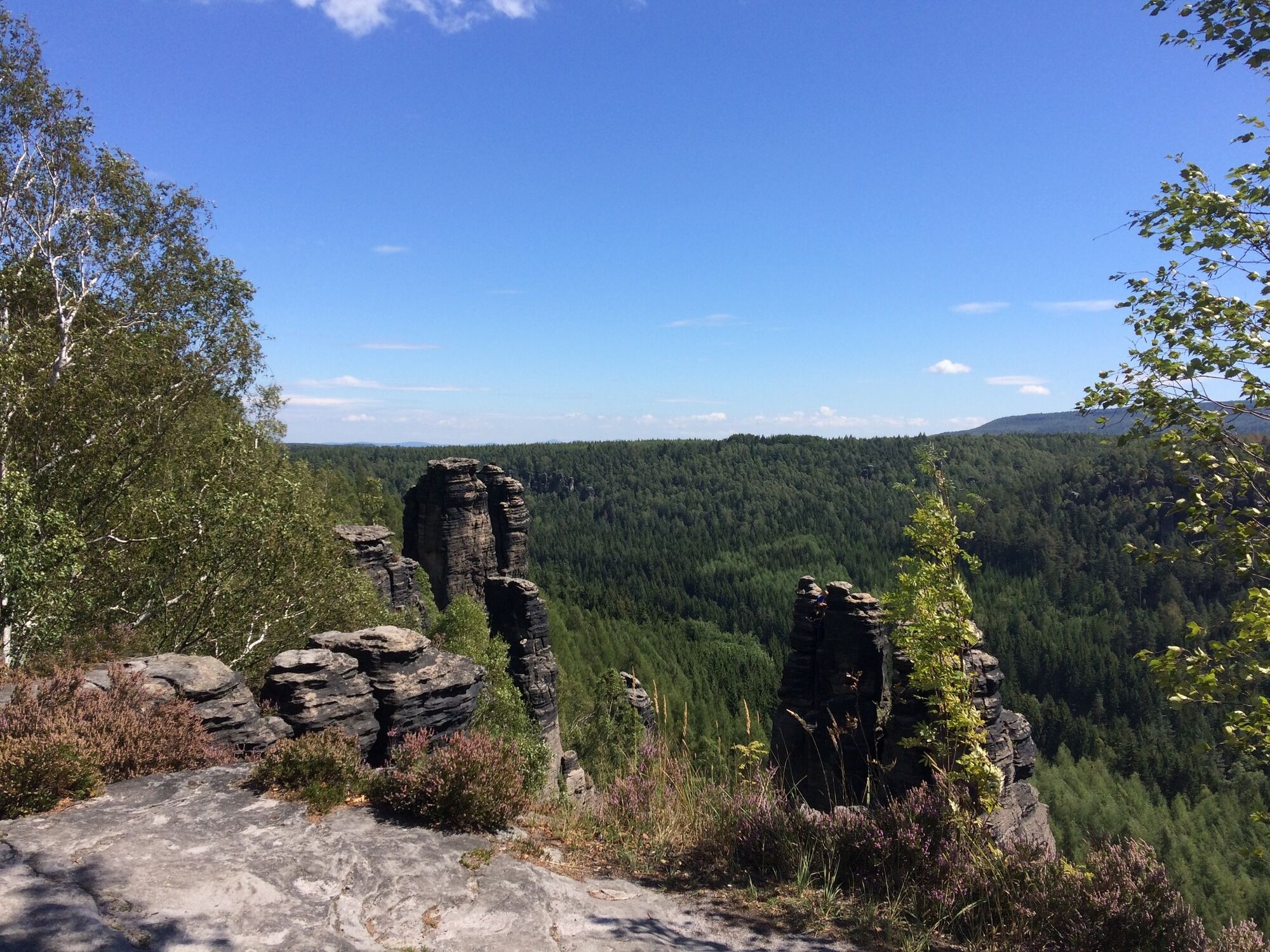
© Yvonne Brückner
- Scurtă descriere
-
Medium-difficulty tour through the climbing paradise Rosenthal-Bielatal
- Greutăţi
-
mediu
- Evaluare
-
- Ruta
-
Rosenthal0,0 kmFraktur4,5 kmElisabethspitze4,7 kmRingelspitze4,7 kmDürrebielewand4,7 kmFalkenspitze4,7 kmDürrebielenadel5,0 kmGrenzwegwächter7,4 kmWaldturm10,1 kmBielatal-Hütte10,5 kmGasthof Ottomühle11,0 kmMorsche Wand11,8 kmJohannismauer11,9 kmJohanniskopf11,9 kmFriederike11,9 kmFritziturm11,9 kmMauerblümchen11,9 kmPötzschturm11,9 kmArtariastein11,9 kmJohanniskegel11,9 kmJohanniswacht11,9 kmSchusterturm12,0 kmJohannisturm12,0 kmHerkuleskopf12,5 kmBielablick12,5 kmZerklüftete Wand12,8 kmKapuziner12,9 kmSchweizermühlenturm13,0 kmRosenthal15,1 km
- Cel mai bun sezon
-
ianfebmaraprmaiiuniulaugsepoctnovdec
- Cel mai înalt punct
- 529 m
- Destinație
-
Schweizermühle
- Profil de elevație
-
 © outdooractive.com
-

-
AutorTurul From Rosenthal through the Bielatal area to the Schweizer Mühle este utilizat de outdooractive.com furnizat.
GPS Downloads


Informaţii generale
Oprire pentru băuturi răcoritoare
Cultural/Istoric
Promițător
Mai multe tururi în regiuni
-
Sächsische Schweiz
1405
-
Erzgebirge
629
-
Rosenthal-Bielatal
384