© Achim Später

© Tourismus Zentrale Saarland, Frank Polotzek

© Tourismus Zentrale Saarland, Frank Polotzek

© Tourismus Zentrale Saarland, Frank Polotzek

© Tourismus Zentrale Saarland, Frank Polotzek

- Scurtă descriere
-
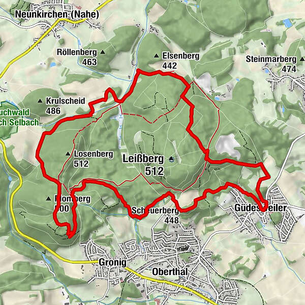
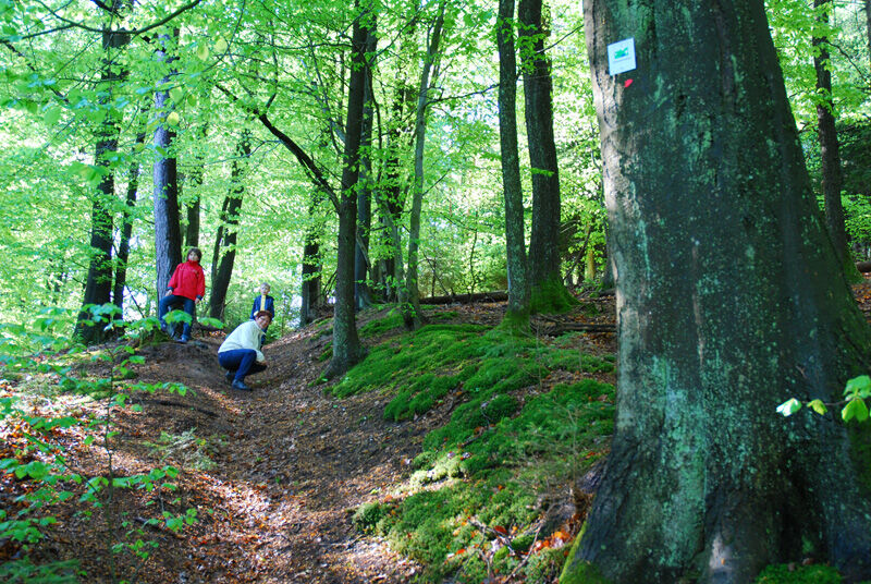
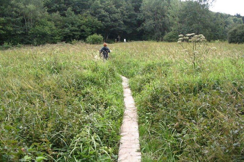
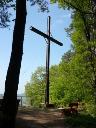
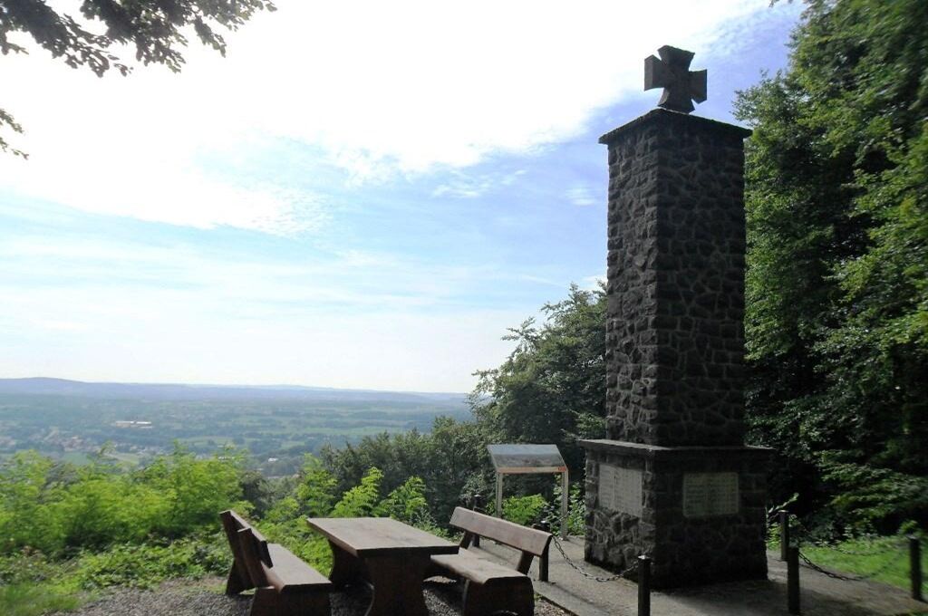
This Trail leads through dense forests and the mystical moorlands of ‘Oberthaler Bruch‘. The Rötelstein path offers lots of picturesque views on the Nahe river and passes by relics from distant pasts.
- Greutăţi
-
mediu
- Evaluare
-
- Ruta
-
Christkönig1,0 kmGüdesweiler1,1 kmScheuerberg (448 m)2,8 kmMomberg6,6 kmNohmühle11,1 kmDer Gute Brunnen14,3 kmValentinskapelle14,3 km
- Cel mai bun sezon
-
ianfebmaraprmaiiuniulaugsepoctnovdec
- Cel mai înalt punct
- 489 m
- Destinație
-
Wanderplatz Güdesweiler 66649 Oberthal-Güdesweiler
- Profil de elevație
-
 © outdooractive.com


- Autor
-
Turul Rötelstein Path este utilizat de outdooractive.com furnizat.
GPS Downloads


Informaţii generale
Oprire pentru băuturi răcoritoare
Cultural/Istoric
Promițător
Mai multe tururi în regiuni