© Julia Bingeser, FVZV Pfälzer Bergland - FVZV Pfälzer Bergland; Julia Bingeser

© VG Kusel - Claudia Sonnenberg

© Zum Wohl. Die Pfalz. - Julia Bingeser

© Zum Wohl. Die Pfalz. - Julia Bingeser

© Zum Wohl. Die Pfalz. - Julia Bingeser

© Zum Wohl. Die Pfalz. - Julia Bingeser

© Zum Wohl. Die Pfalz. - Julia Bingeser

© Zum Wohl. Die Pfalz. - Julia Bingeser

© FVZV Pfälzer Bergland - Dominik Ketz

- Scurtă descriere
-
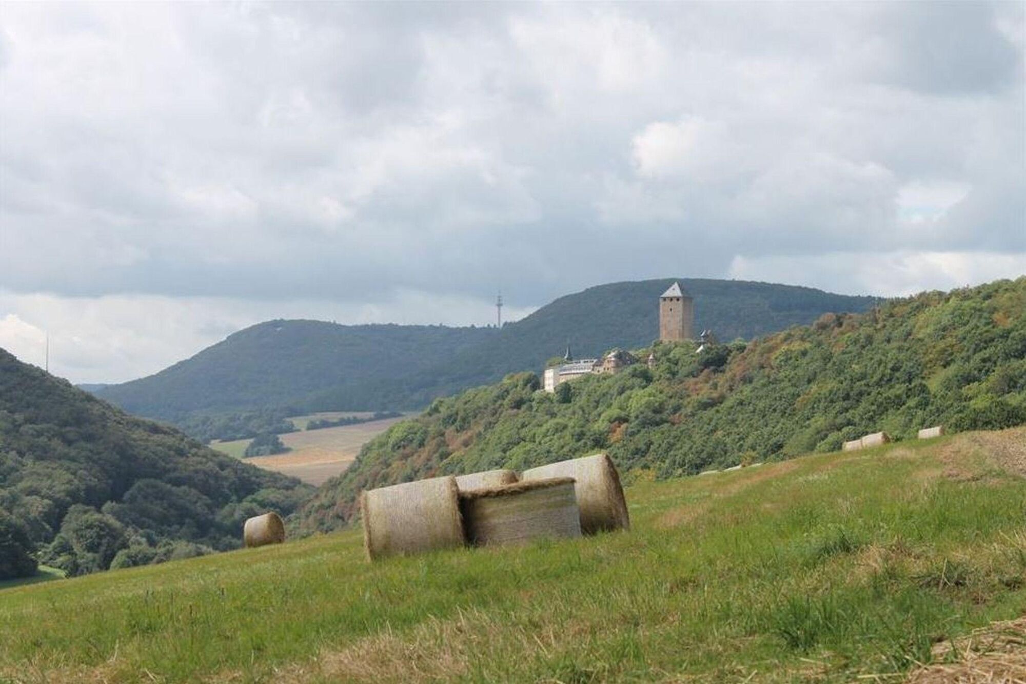
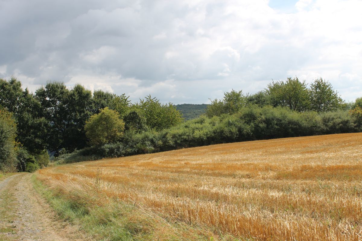
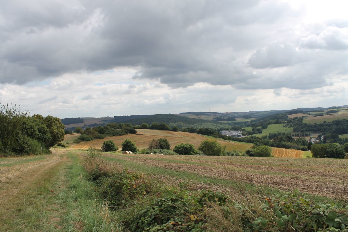
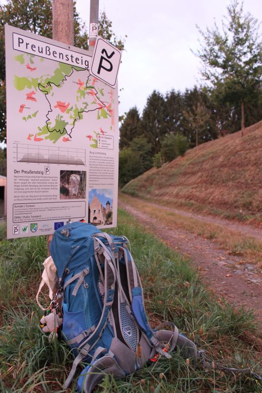
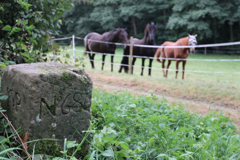
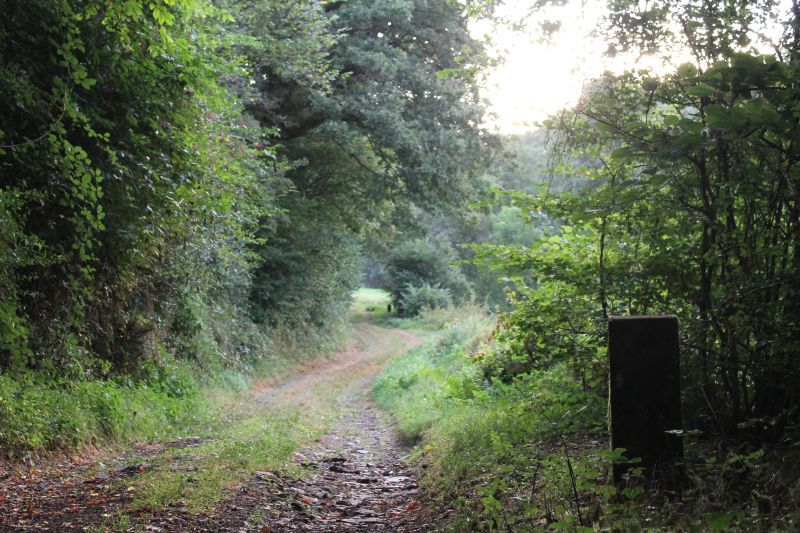
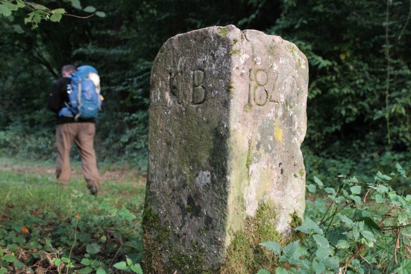
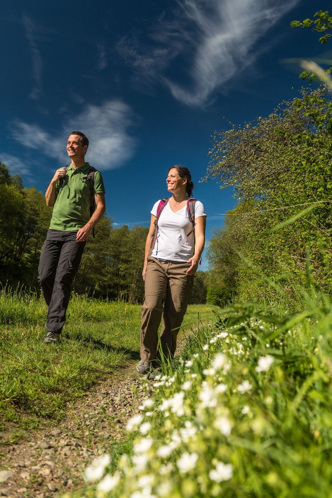
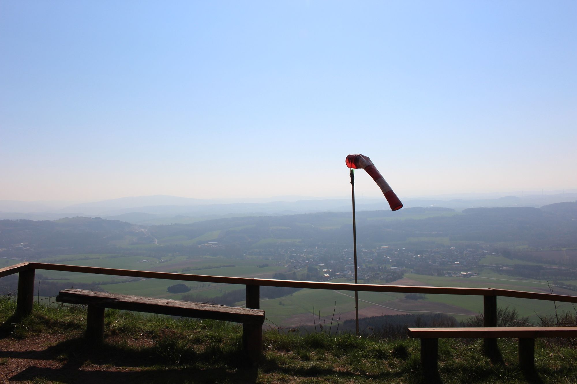
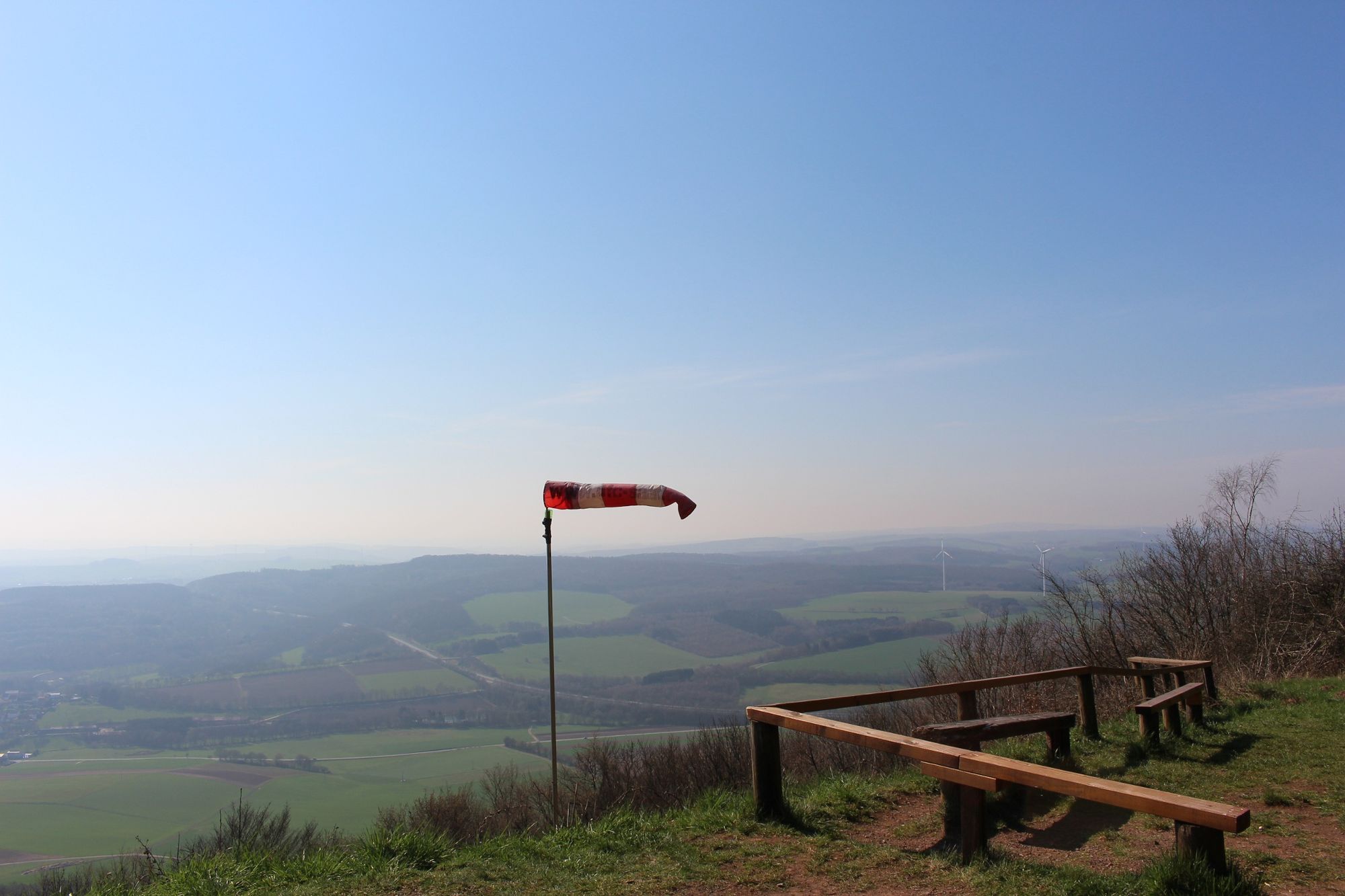
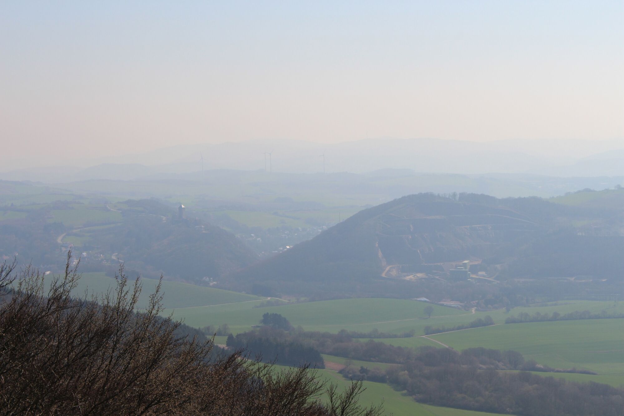
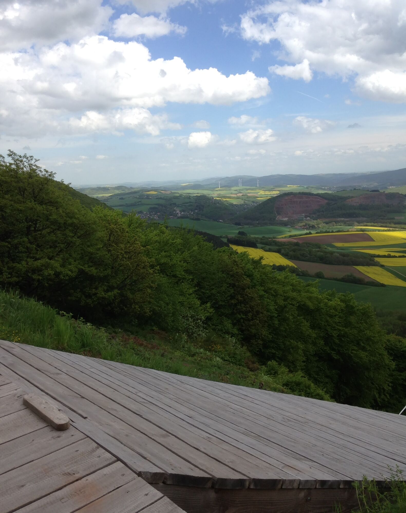
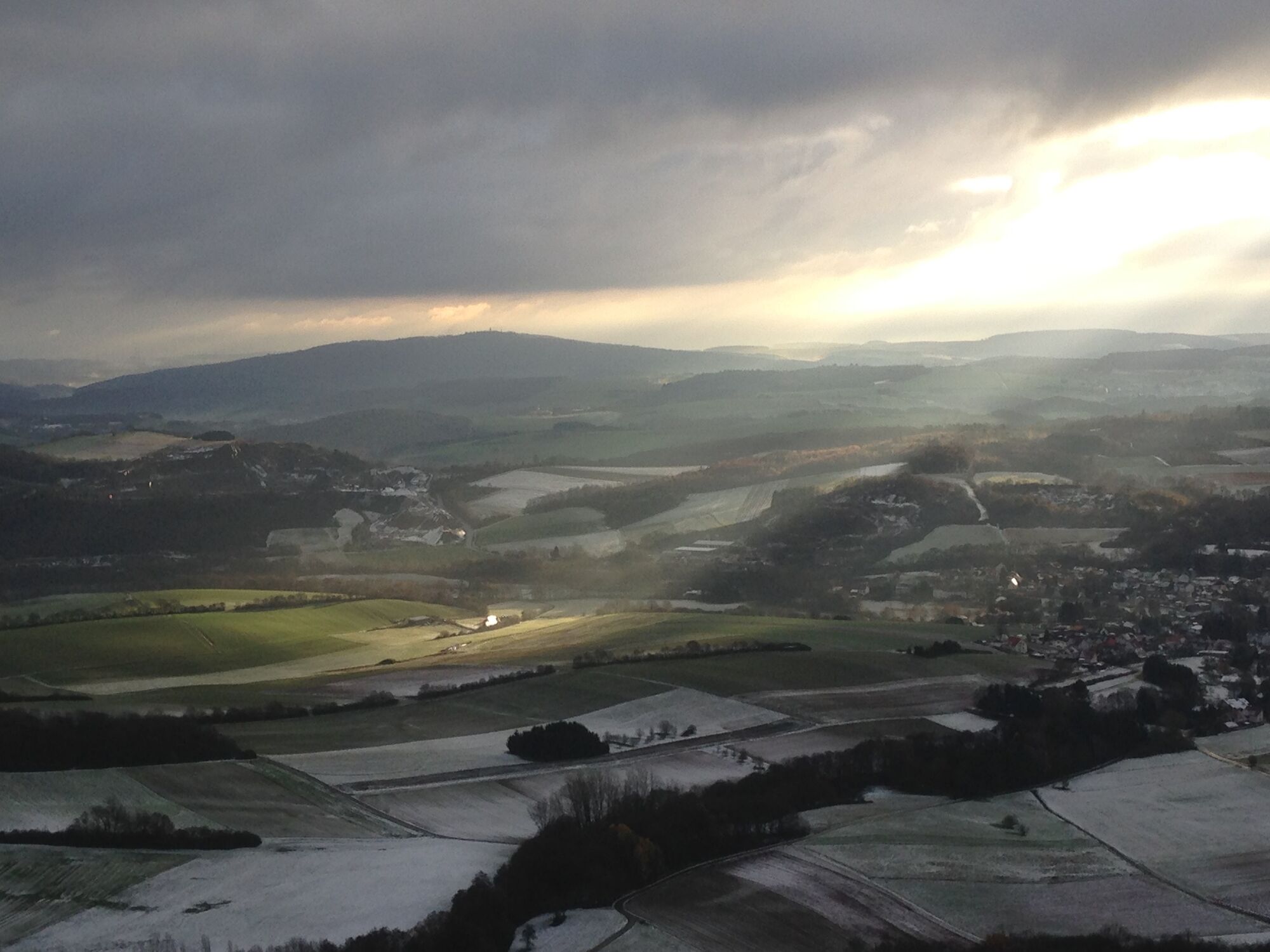
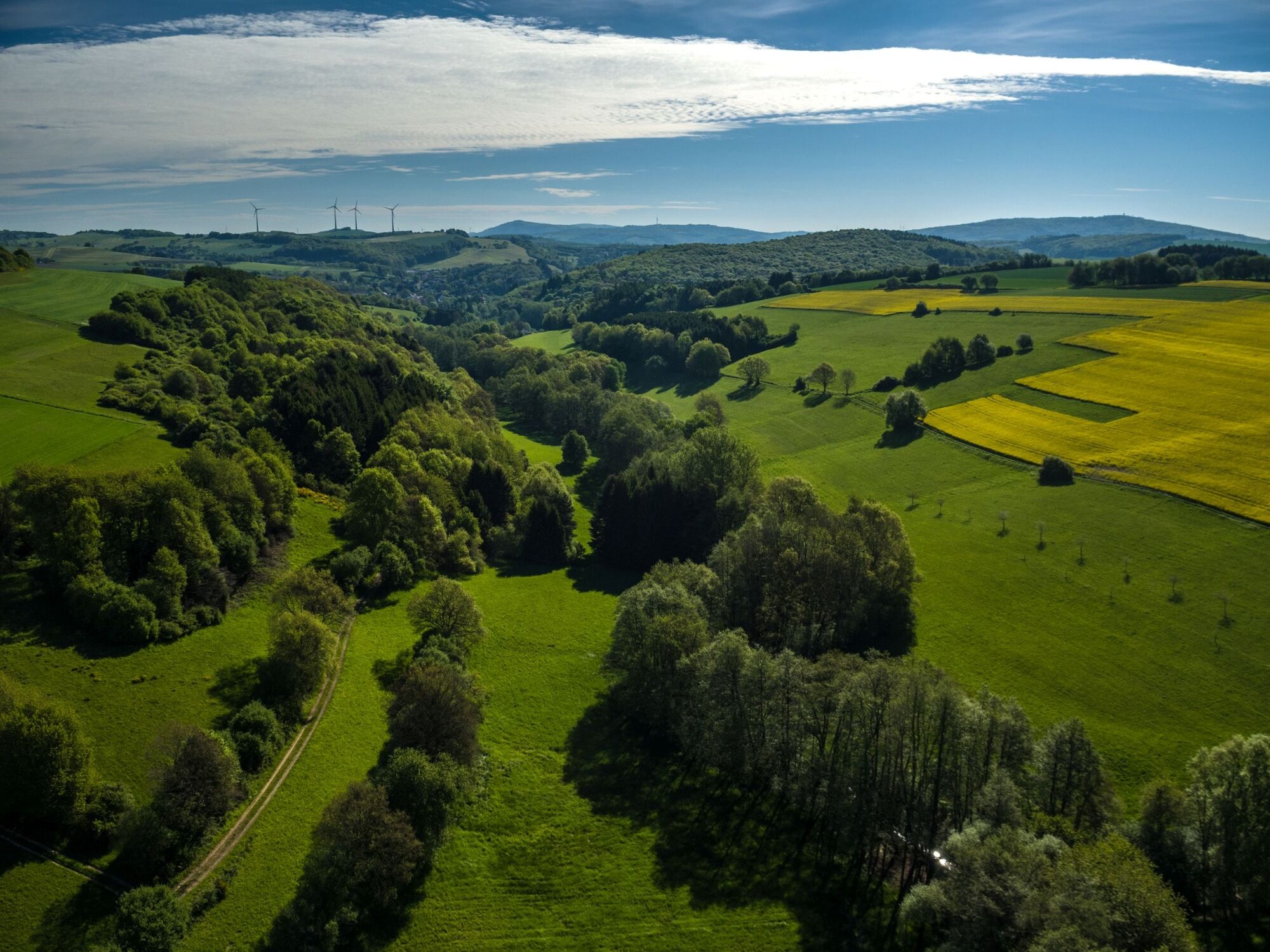
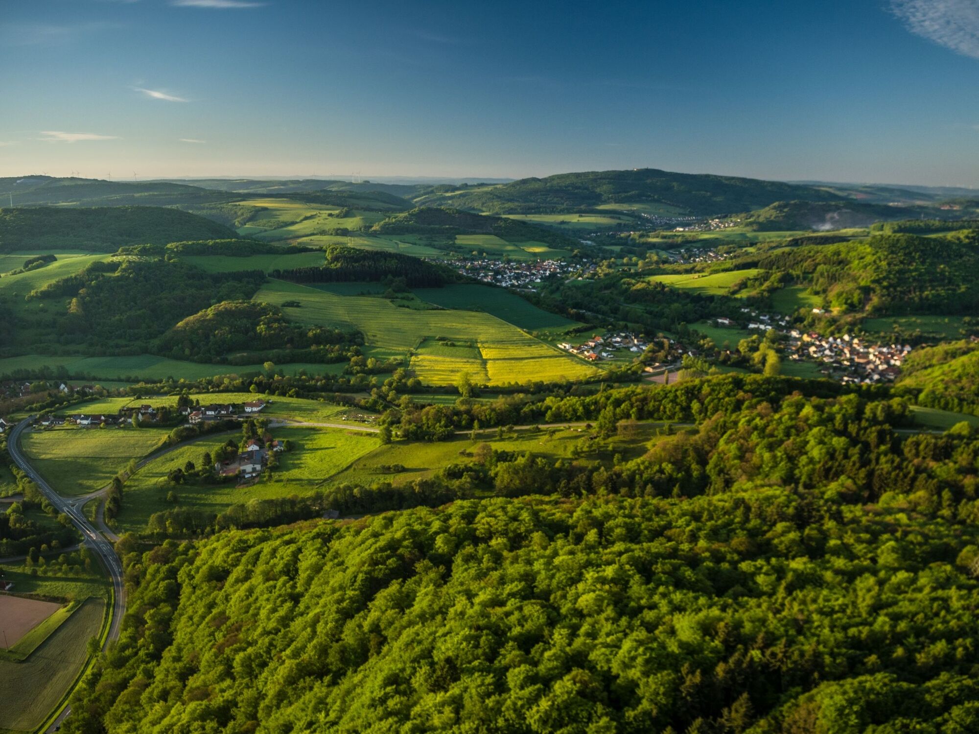
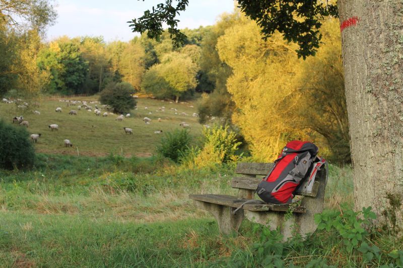
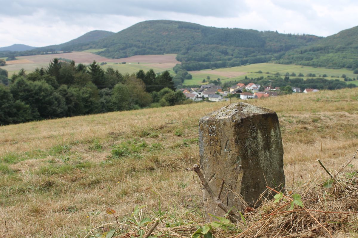
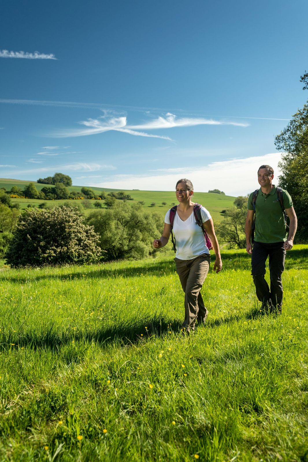
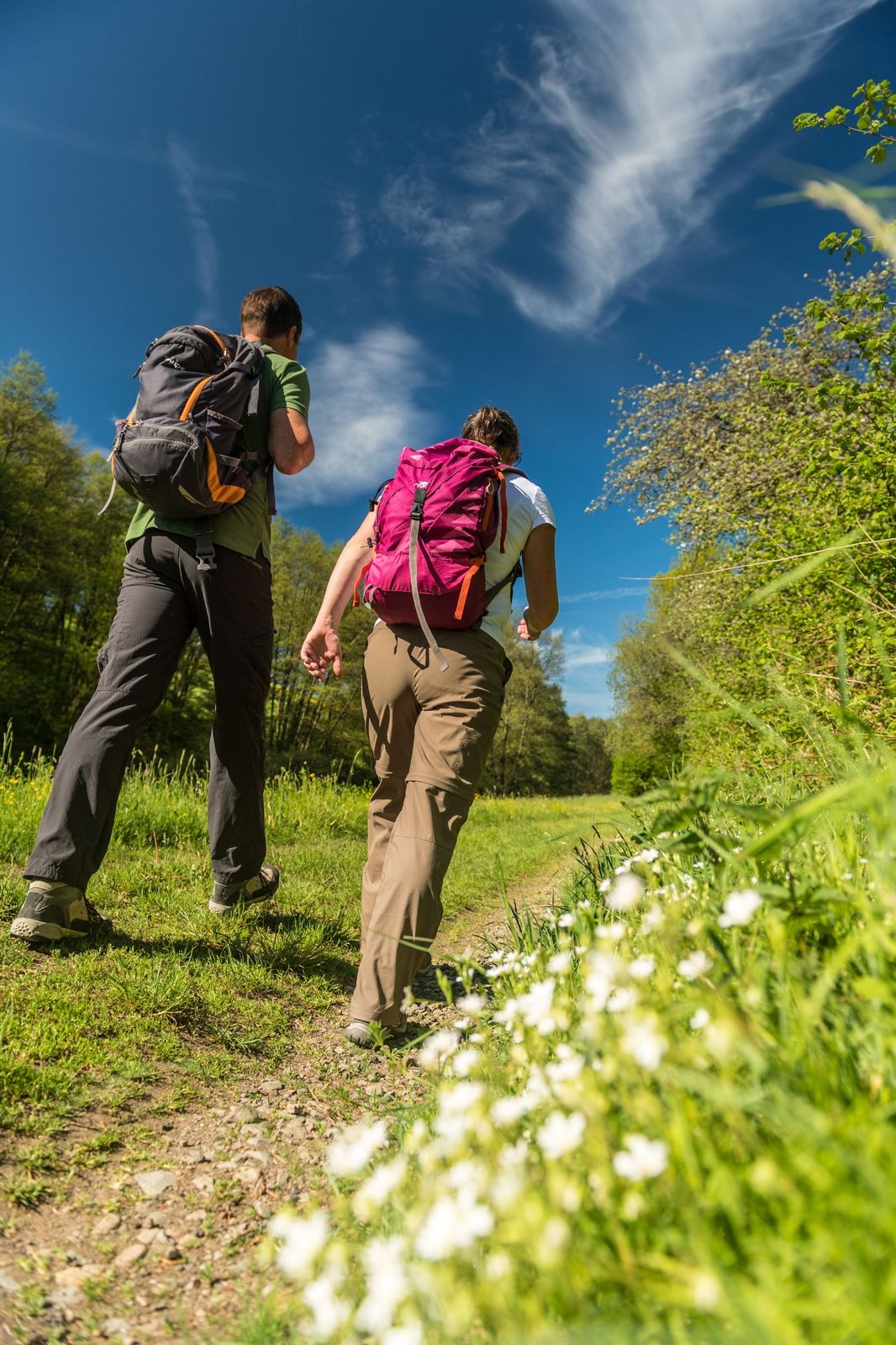
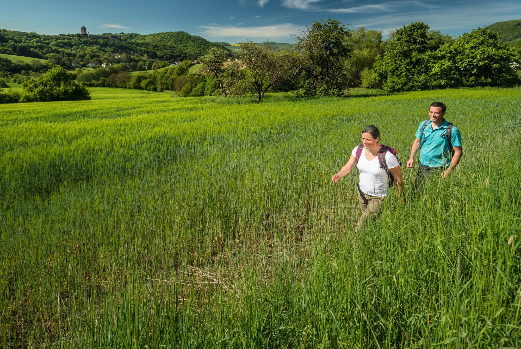
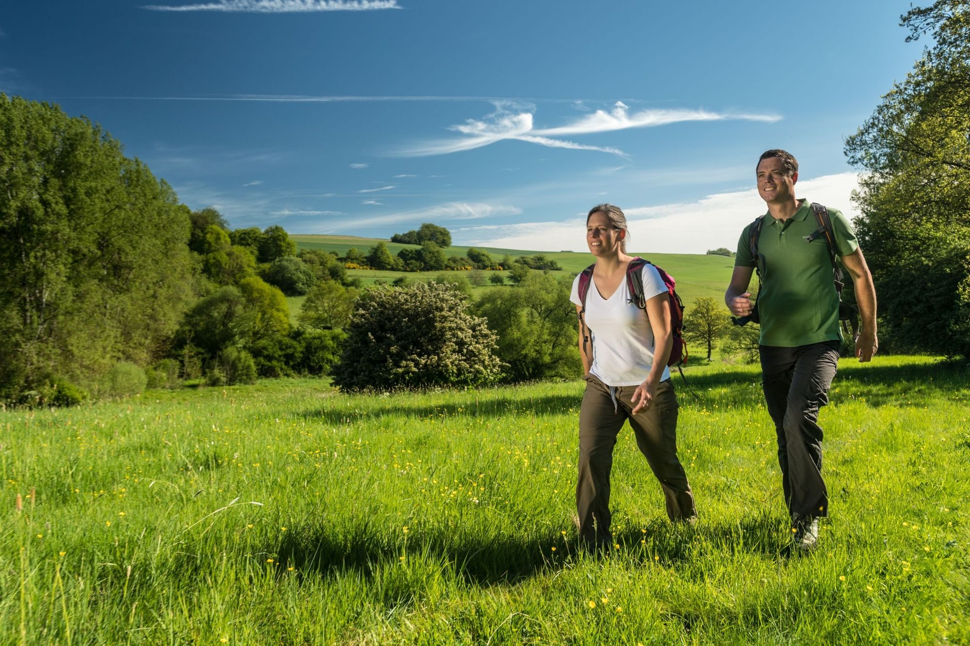
High up, along idyllic grasslands and forest paths, you are on the Preußensteig , which offers fantastic views along the former Prussian-Bavarian border. There are many historical boundary stones and the highest mountain in the Kusel district, the Herzerberg, is also a good place for watching hang-gliders .
- Greutăţi
-
greu
- Evaluare
-
- Ruta
-
Herzerberg (585 m)8,3 kmSalzquelle22,8 km
- Cel mai bun sezon
-
ianfebmaraprmaiiuniulaugsepoctnovdec
- Cel mai înalt punct
- 571 m
- Destinație
-
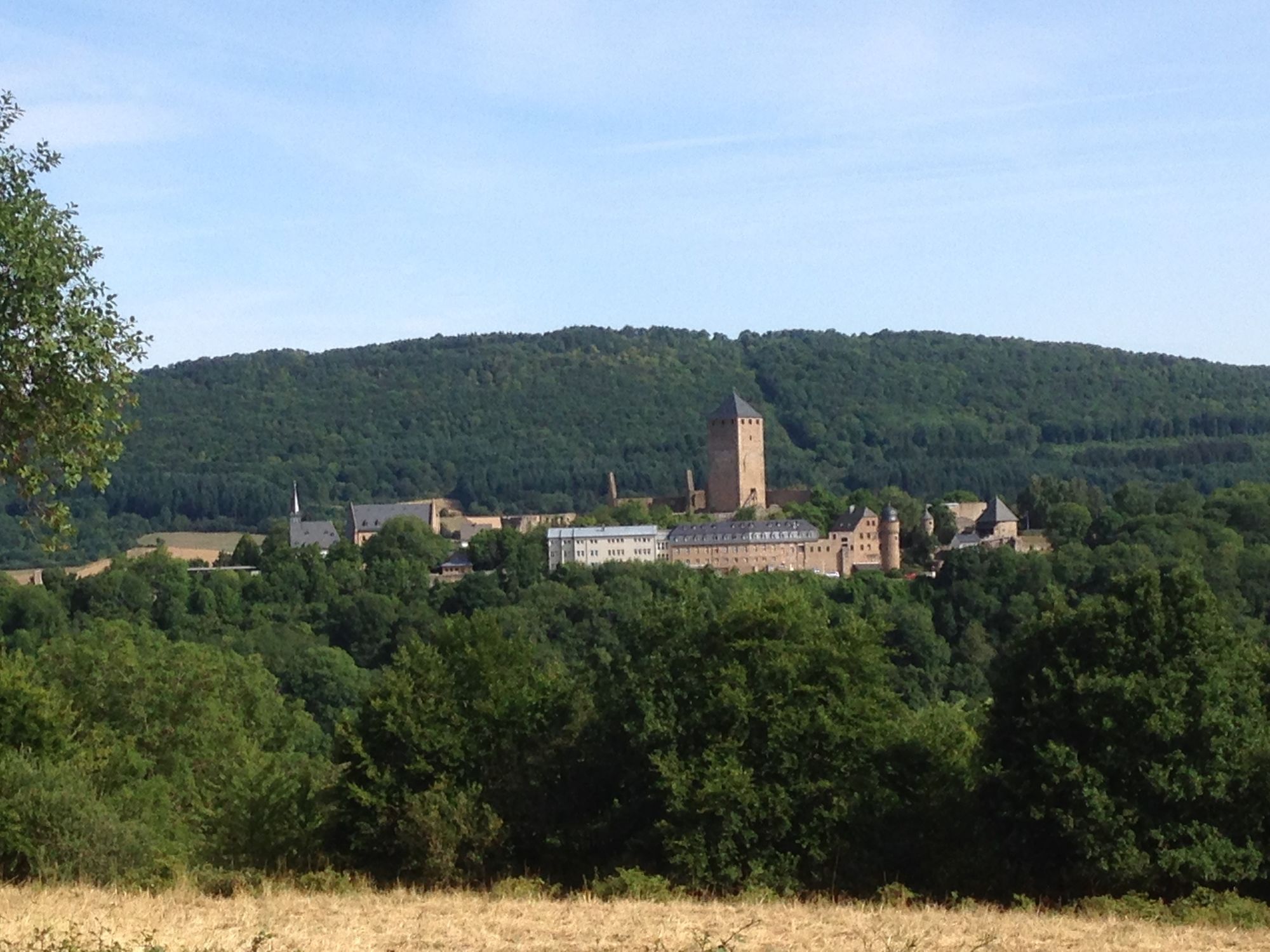
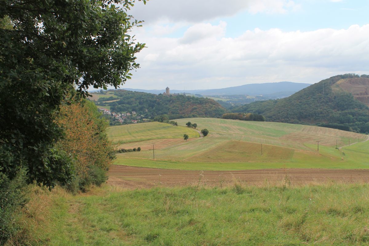
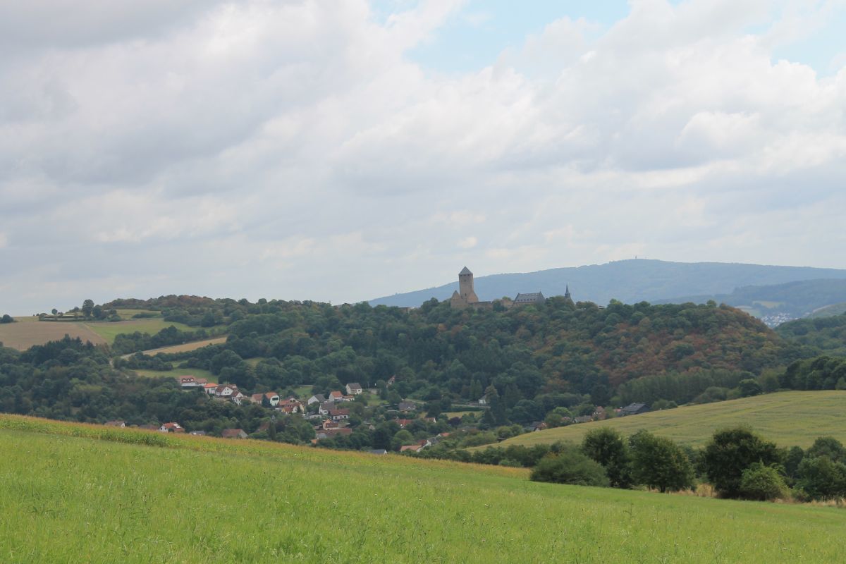
Lichtenberg Castle, Burgstraße 12, 66871 Thallichtenberg
- Profil de elevație
-
 © outdooractive.com

- Autor
-
Turul Kusel - Preußensteig este utilizat de outdooractive.com furnizat.
GPS Downloads


Informaţii generale
Oprire pentru băuturi răcoritoare
Cultural/Istoric
Promițător
Mai multe tururi în regiuni