


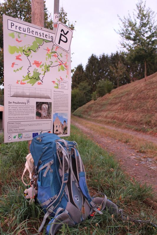
Kusel - Preußensteig


The Preußensteig is a beautiful and varied hiking trail with many fantastic views and with Burg Lichtenberg and the countless historic border stones a great historical asset of the region.
Lots of nature,...
The Preußensteig is a beautiful and varied hiking trail with many fantastic views and with Burg Lichtenberg and the countless historic border stones a great historical asset of the region.
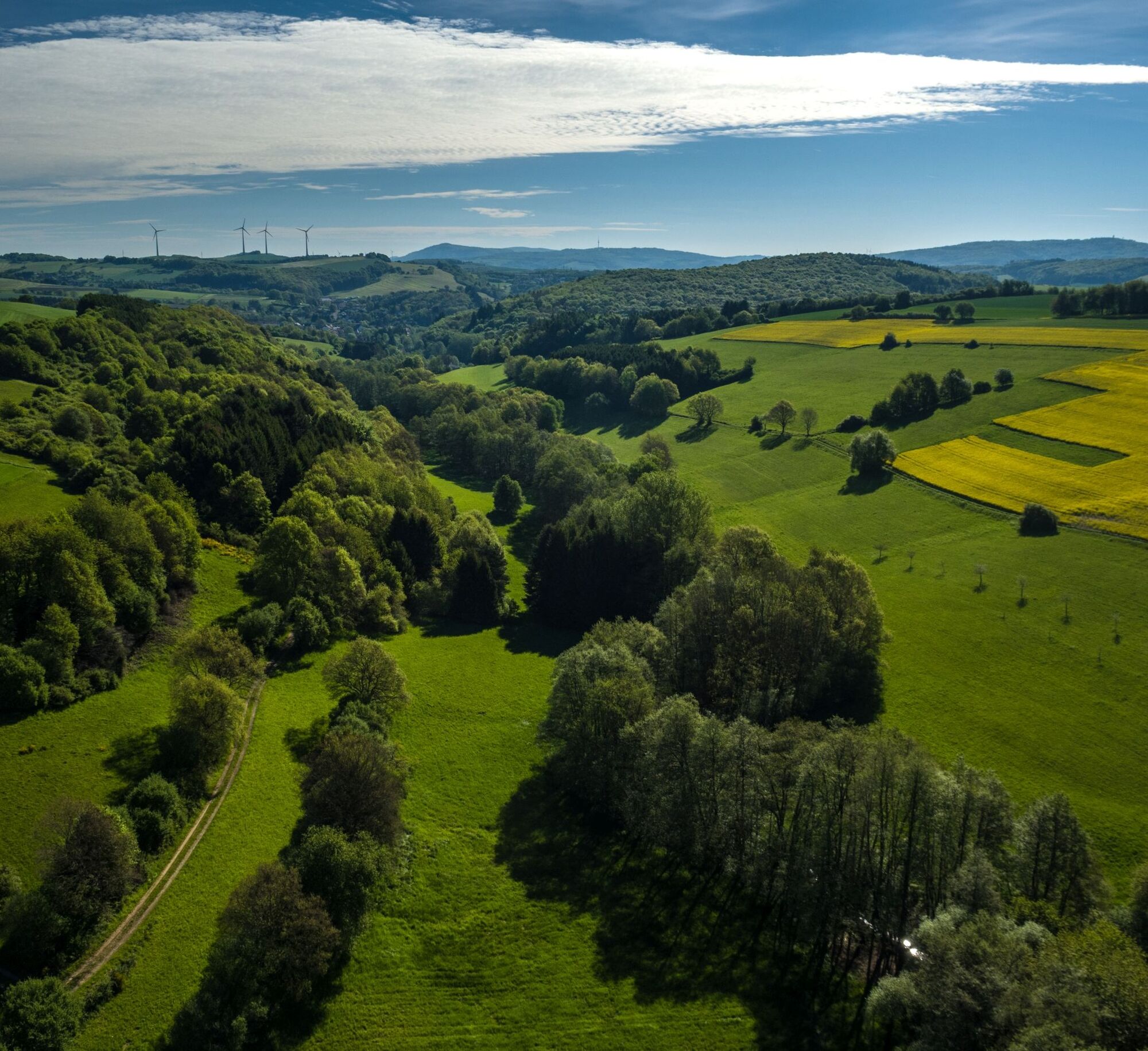
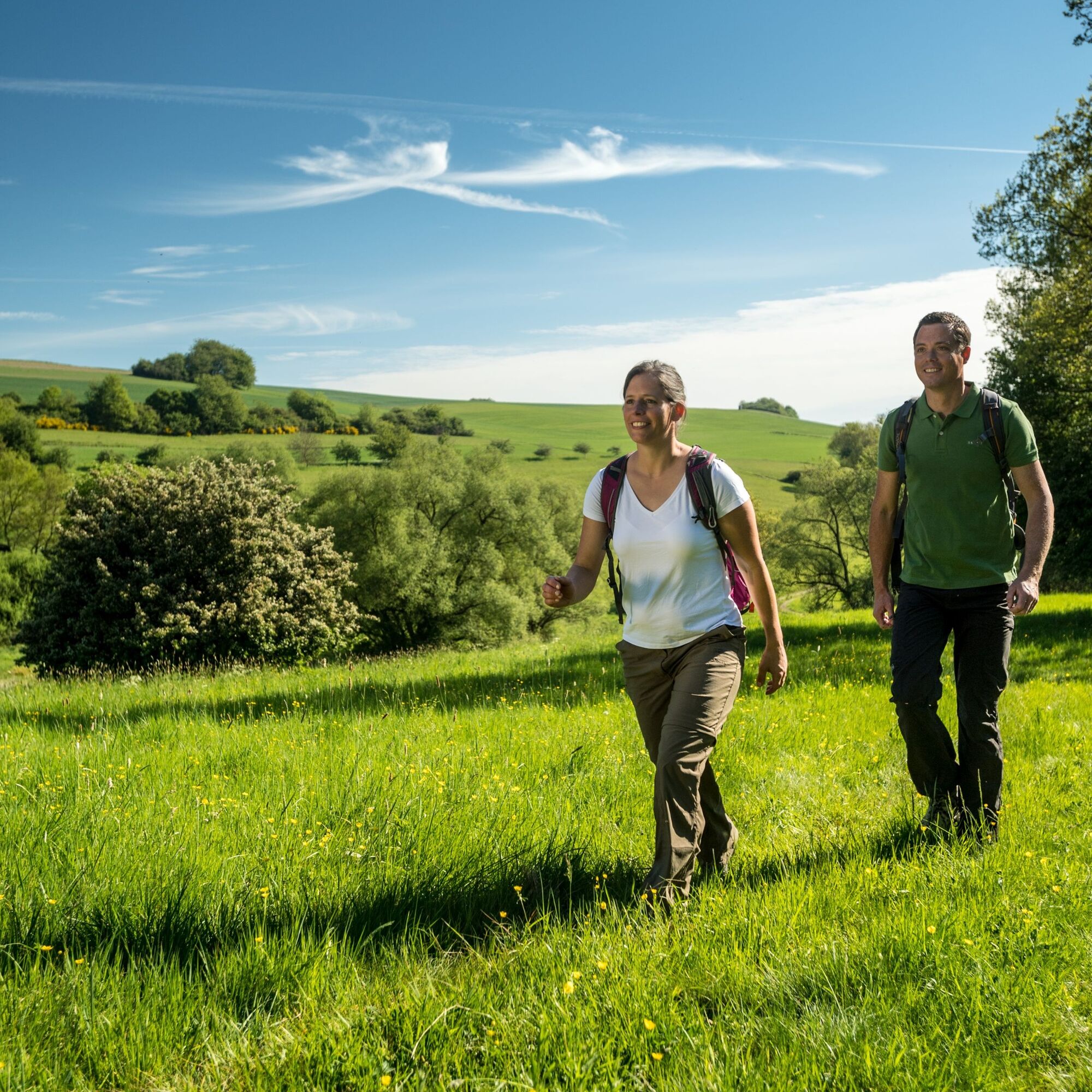
Lots of nature, a great and varied landscape and challenging ascents - the Preußensteig has much to offer.
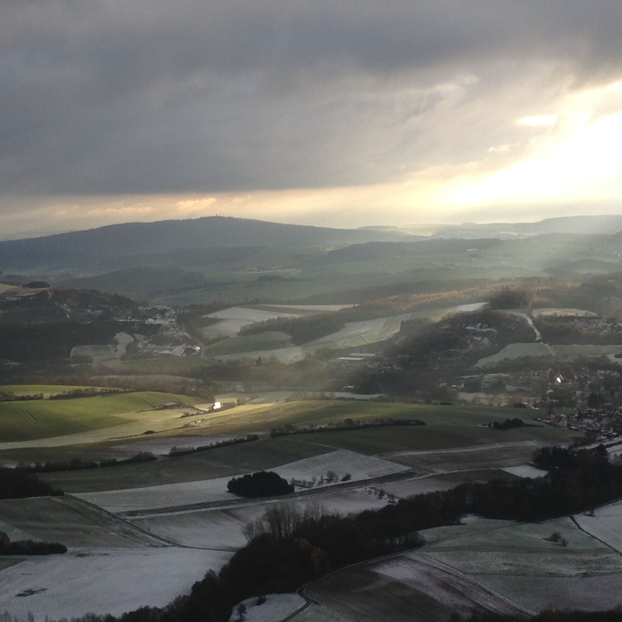
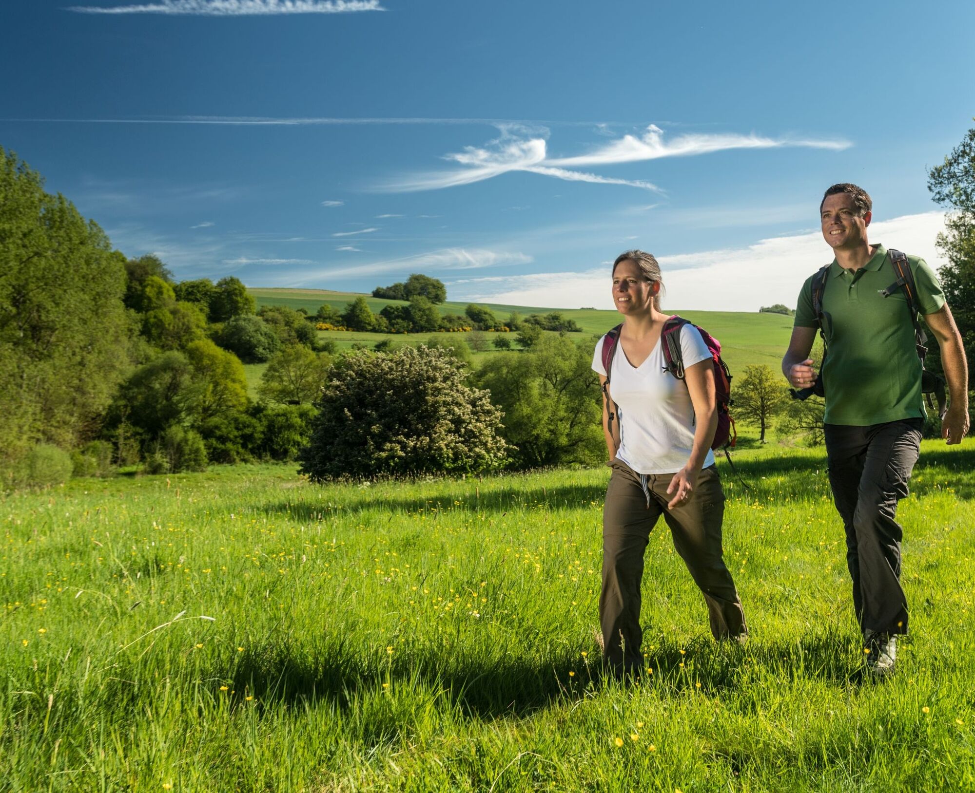
Maybe you can watch paragliders on the Herzerberg, the highest elevation in the district.
ATTENTION! - Campaign for respectful coexistence in nature
- Always behave foresighted, friendly and considerate towards everyone you meet on the way.
- Respect nature, do not destroy plants and always stay on the paths.
- Remember a garbage bag for on the way and take your rubbish back home with you.
- Please always keep your dog on a leash. Other visitors and animals will thank you.
- Observe all path closures for your own safety. Also on weekends.
- Park only in designated parking spaces. Leave room for emergency routes and agricultural machines.
- Please give priority to agricultural and forestry traffic.


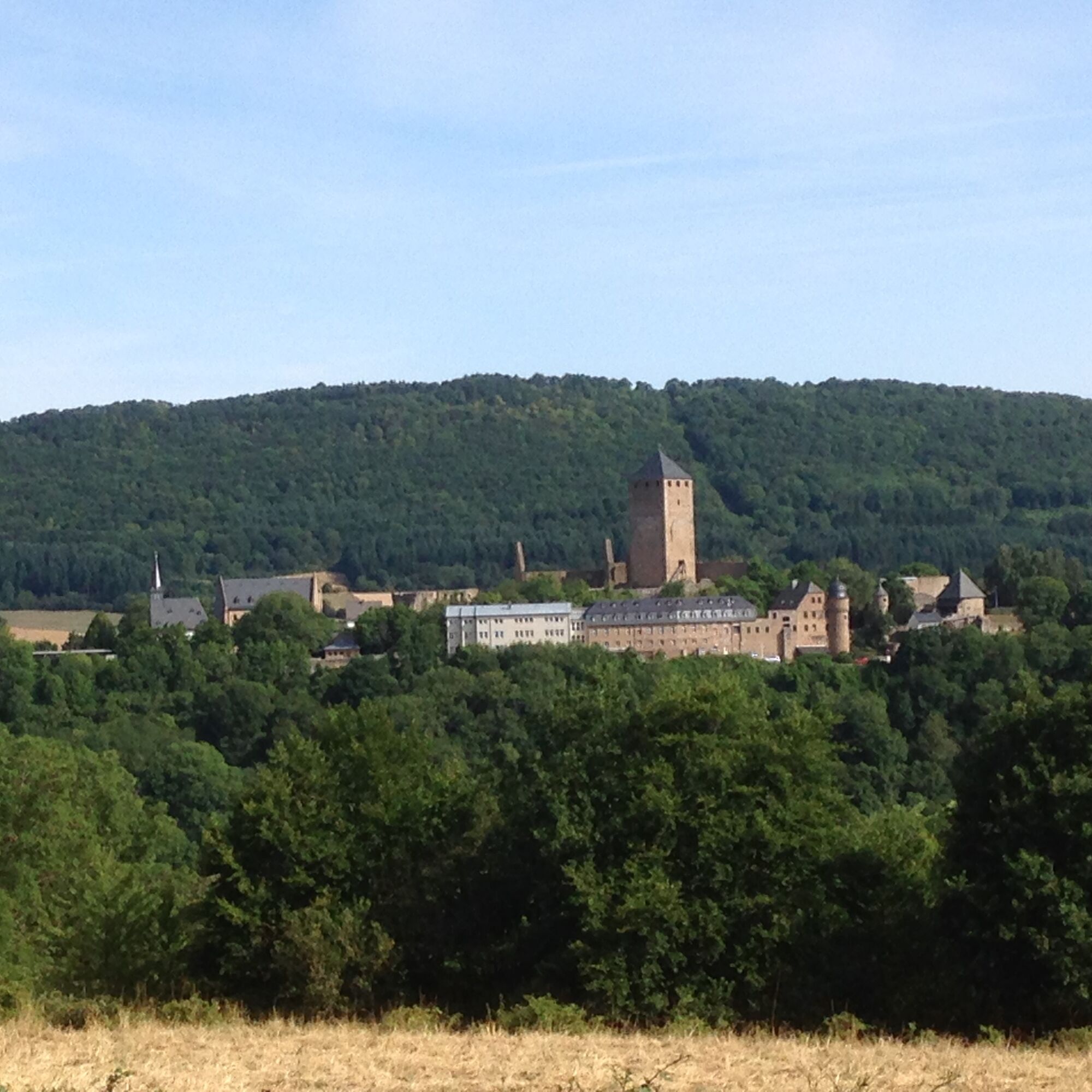

The path starts at the first highlight: just visiting Burg Lichtenberg is already worth a trip. In the castle you will find the Musikantenland Museum, the Palatinate Museum of Natural History (branch Burg Lichtenberg) and the Prehistoric Museum Geoskop. Also a state-of-the-art youth hostel as well as the castle restaurant.
You can get married civilly and churchwise and also celebrate at the castle. There is a research workshop, special exhibitions, music events and much more...
But - we want to hike. From the castle the path leads first a short stretch together with the Veldenz hiking trail through the Veldenz gate towards Kusel. If you want to get a quick information: at the Veldenz gate there is an information board with the route course and lots of interesting information about the path.
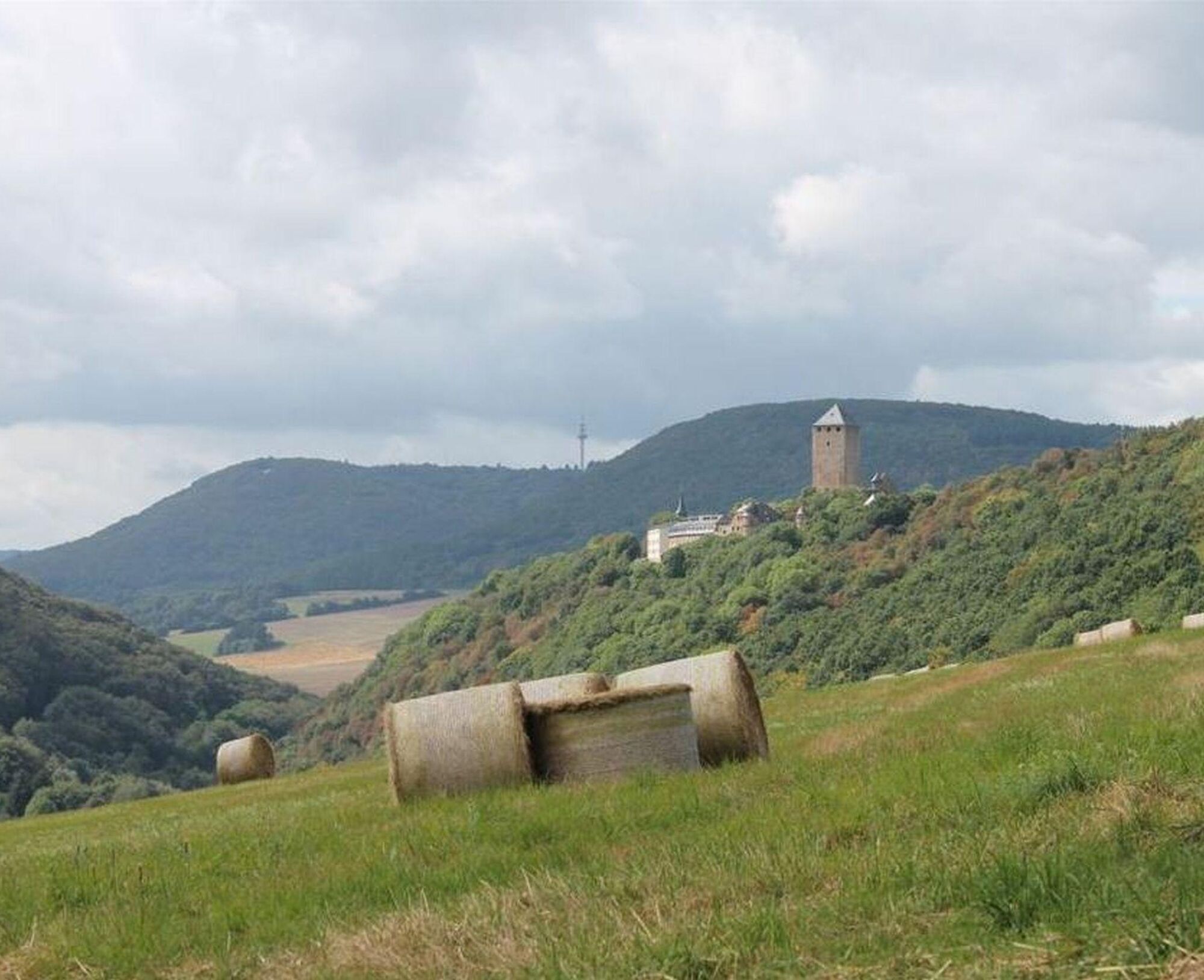
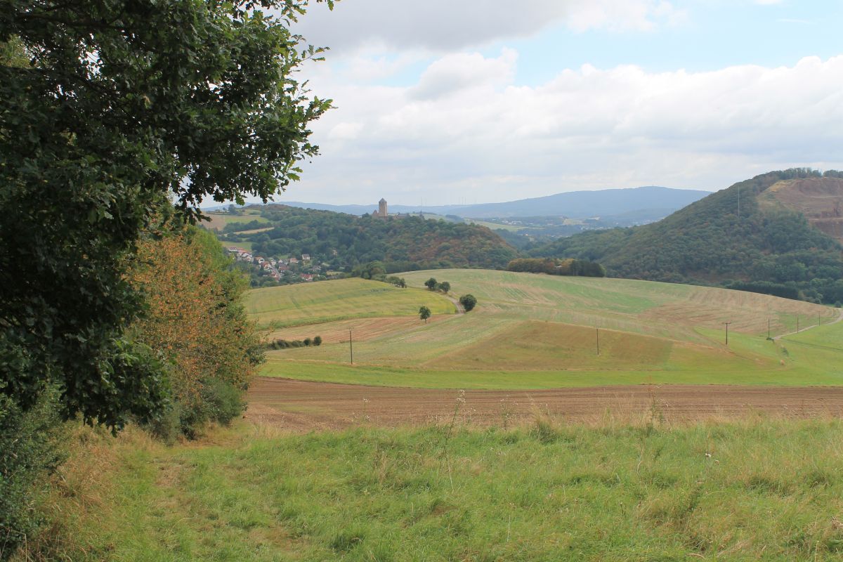
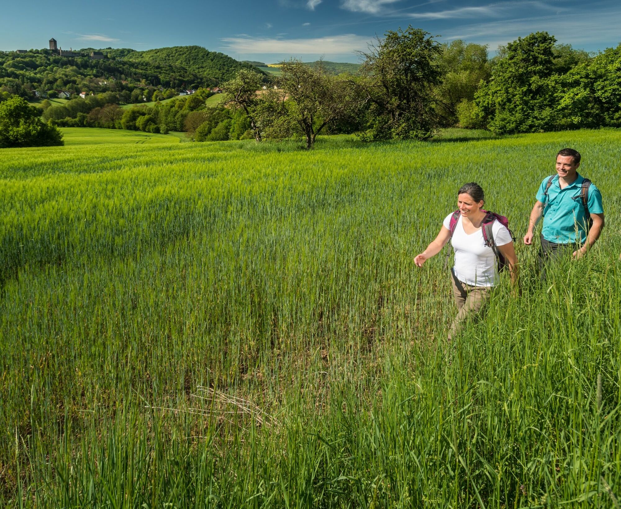
Already on the first section there are always great views - the view back to Burg Lichtenberg and ahead to the district town Kusel and the "hilly land behind it." We descend to Kusel-Diedelkopf. Note for later: in Kusel itself there is the City and Local History Museum with the Fritz Wunderlich room and a brewery room, a hotel, many inns and restaurants, as well as the tourist information Palatinate Bergland “hin und weg”.
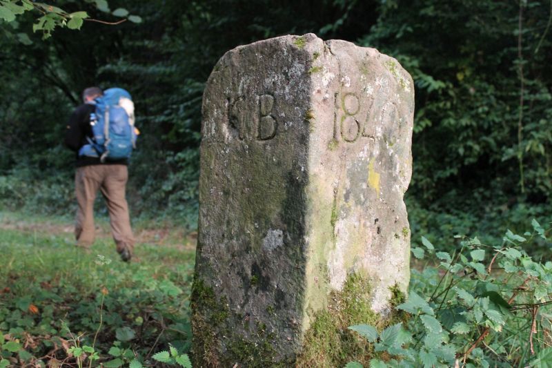
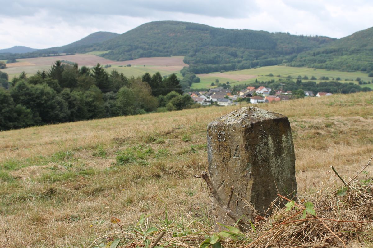
In Diedelkopf, you walk past the Kusel bathing and leisure park into the Holzbachtal protected landscape area. The path marks the former border and is lined by a large number of border stones. The engraved initials “KB” and “KP” show where you would currently be located, in the Kingdom of Bavaria or in the Kingdom of Prussia. For kilometers you are accompanied by the old massive stone blocks.
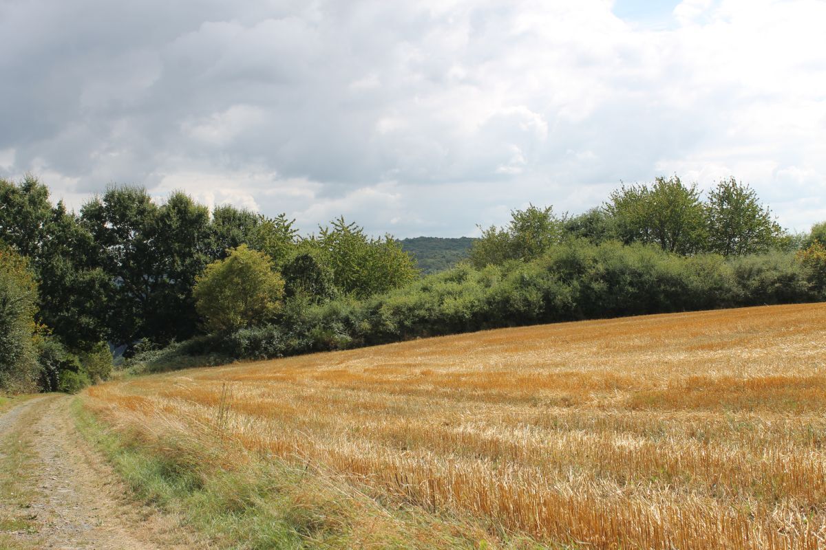
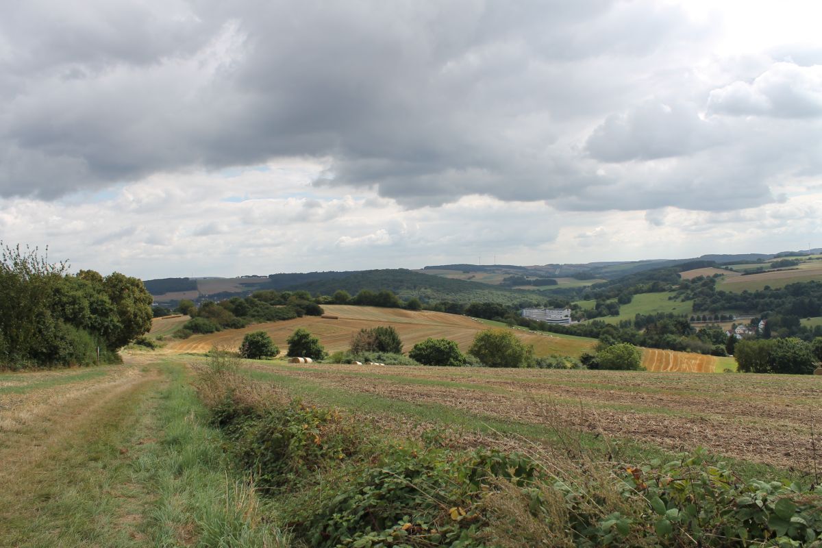
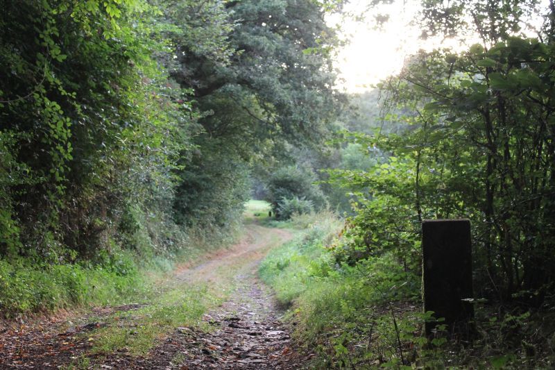
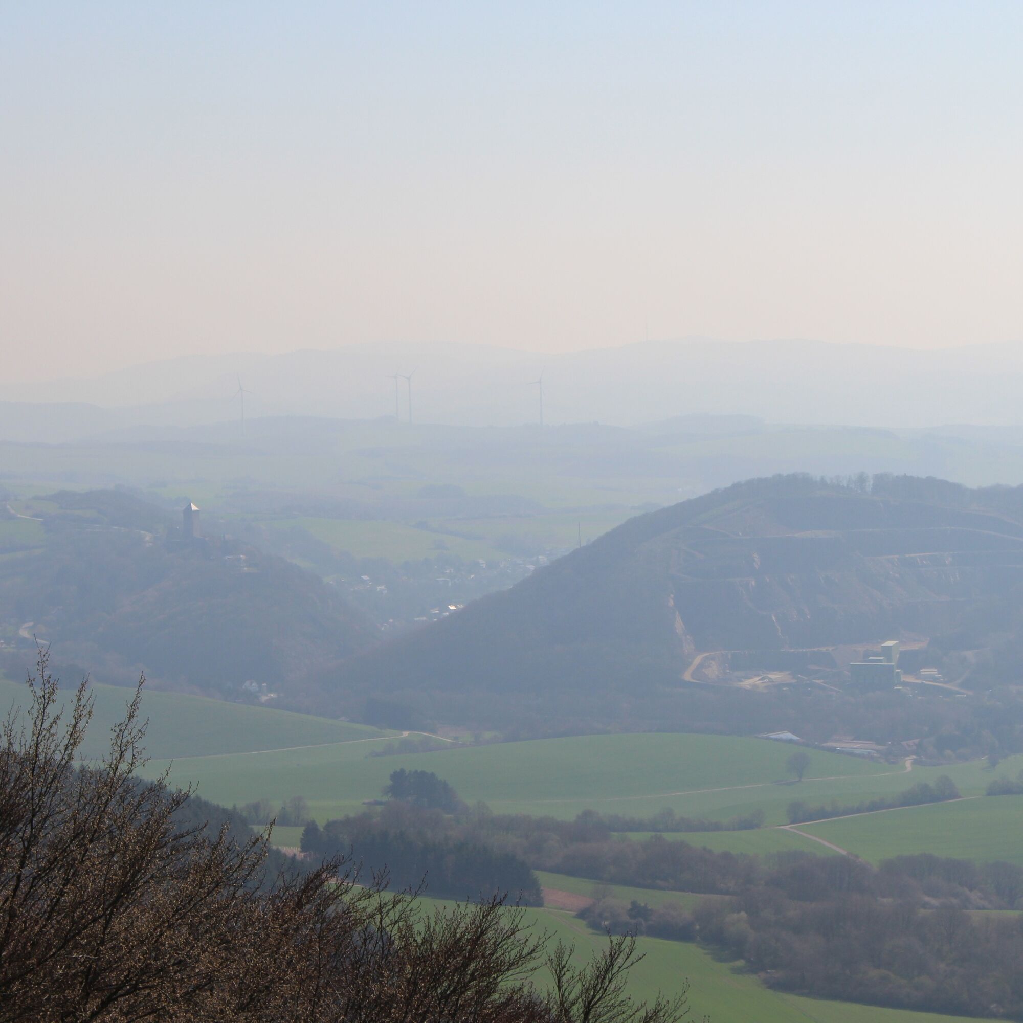
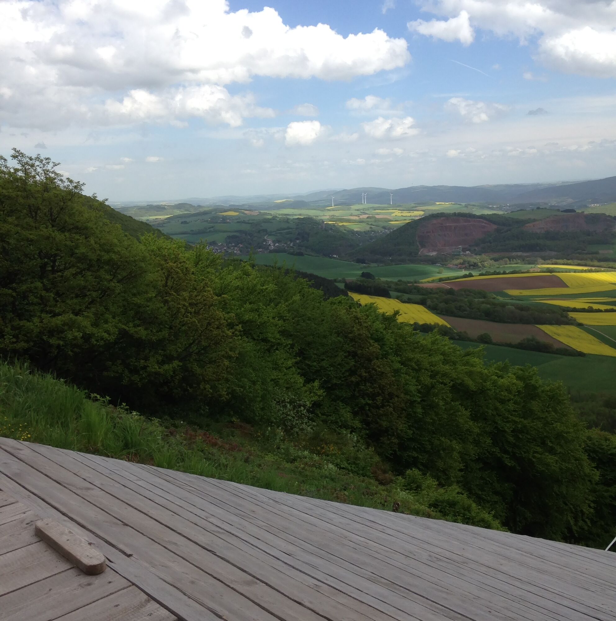
Behind the Holzbachtal it goes uphill for the first time, past meadows and pastures, sometimes through more open landscapes, sometimes through a small forest. On the Ehweiler height, the first wide view. We continue hiking, climbing further and enjoying the natural silence and the great views.
Following the border, we descend a bit and pass under the motorway. Those paying attention will notice that the border stones here have completely different inscriptions: "A" and "P" and other years. This path additionally marks the border between the local municipalities Albessen and Pfeffelbach.
Through little woods and past former quarries it goes up and down towards Reichweiler and Pfeffelbach.
Not on the official hiking route, but worth a small detour is the Steinberg nature reserve, which extends very idyllically around an old quarry with a small pond.
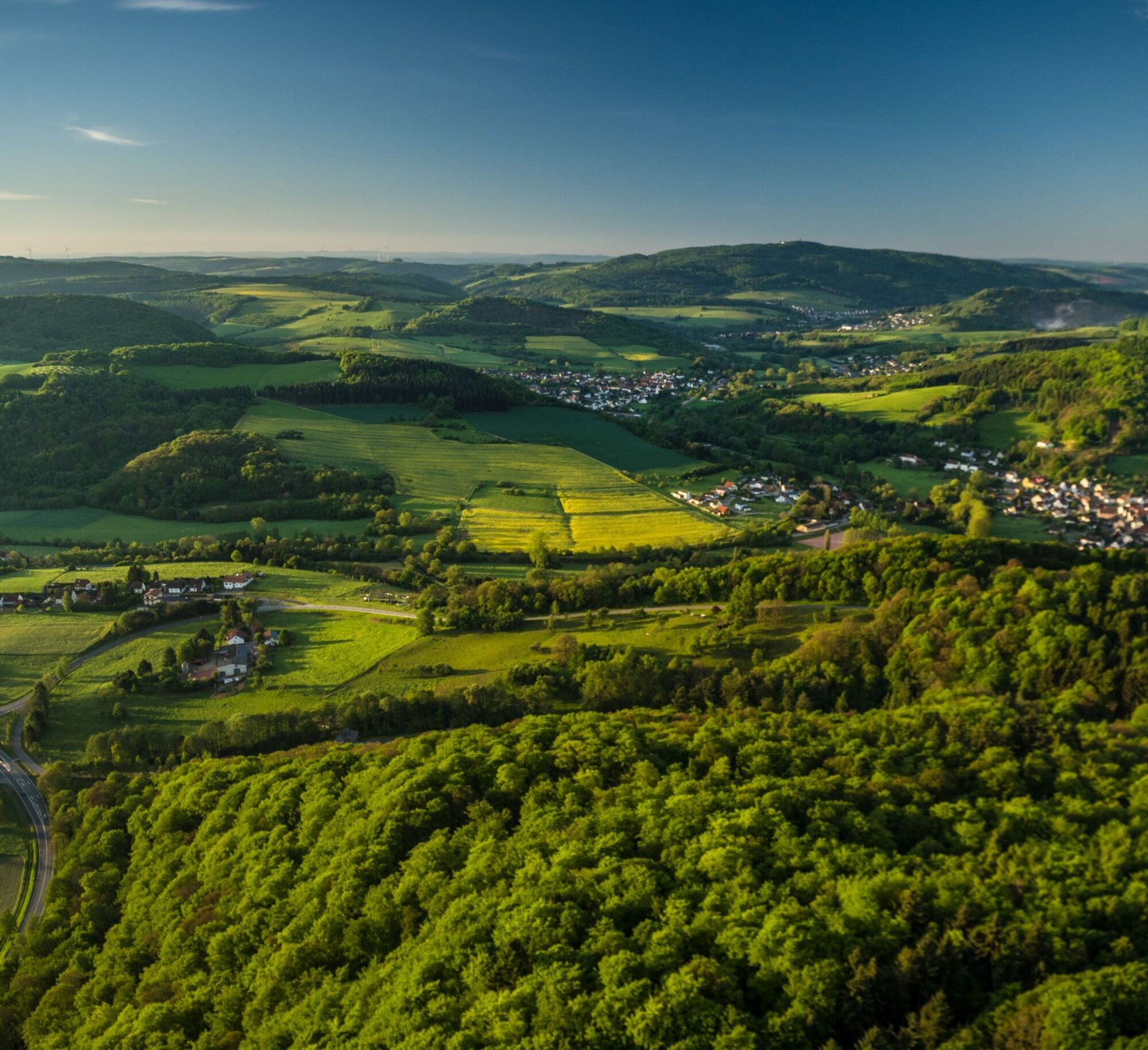
Soon after, the path leaves the forest and the view opens on Reichweiler and the silhouette of the Prussian mountains behind it. The hiking direction and thus the perspective on the Palatinate mountain range change repeatedly.
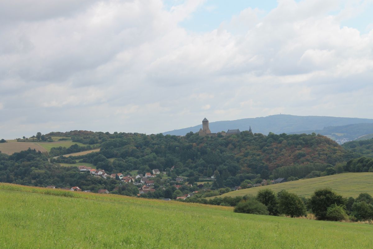
Thus, even before the crossing with the Fritz-Wunderlich hiking trail near Pfeffelbach, Burg Lichtenberg can be discovered on the horizon. For the rest of the way, the castle will repeatedly be seen as you step by step approach it again.
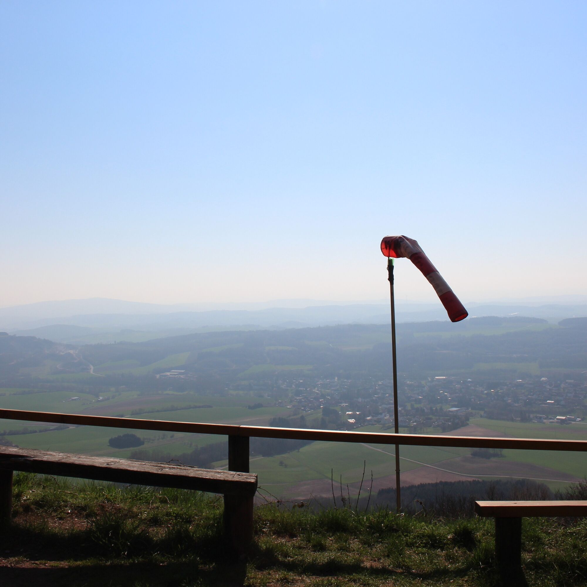
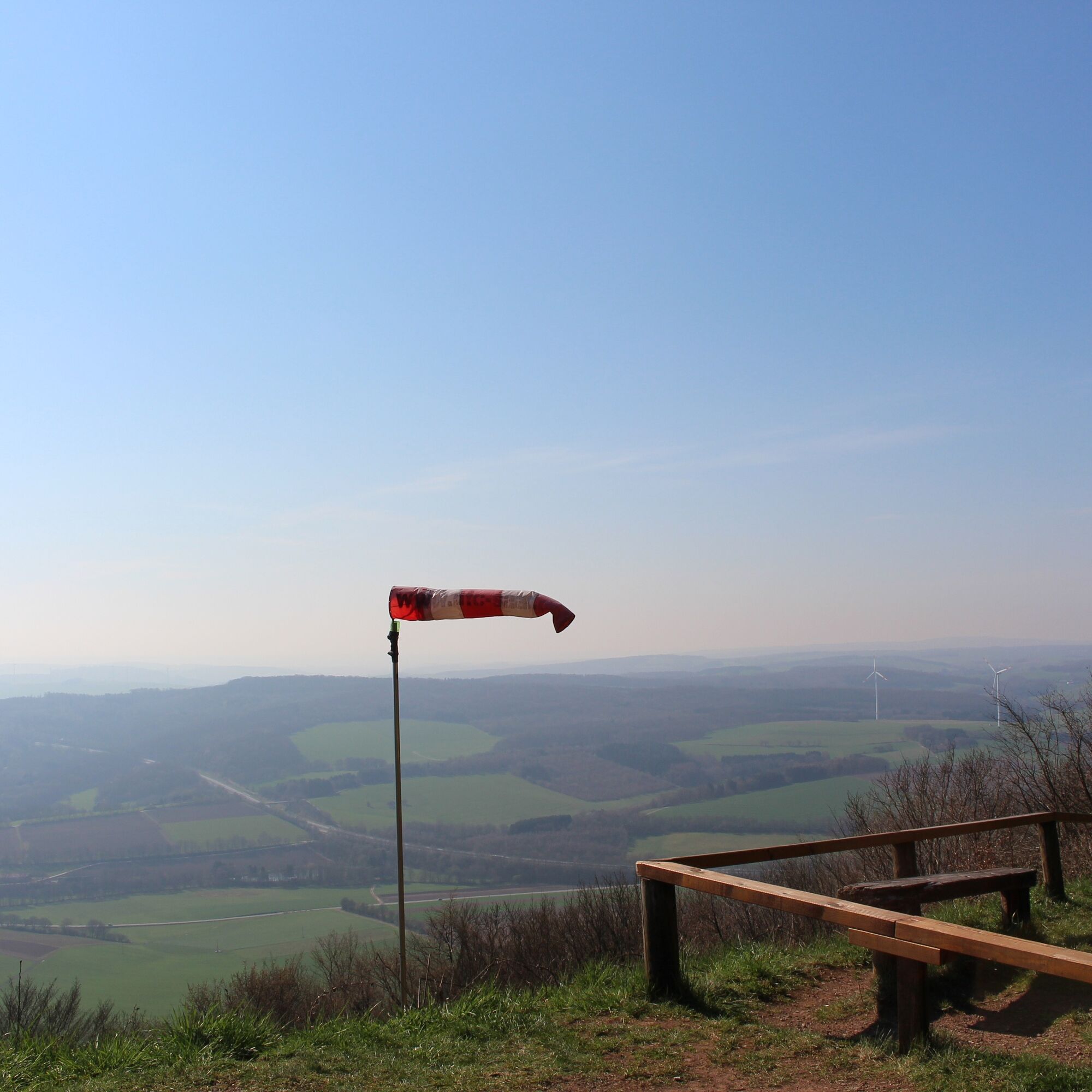
At Pfeffelbach, the Prussian Trail crosses the state road and the ascent into the Prussian mountains begins. From below you can already see the weather vane at the dragon ramp on the Herzerberg. That’s where we want to go! Because there is not only the highest point of the path but the Herzerberg is also the highest mountain in the Kusel district. Here a gigantic view makes the effort of the climb worthwhile. A great place for a rest, enough benches are available and under the right weather conditions paragliders are also on the move there.
From there it goes steeply downhill through the forest. In the next kilometers about 20 small panels provide information about the local animal and plant species. Burg Lichtenberg gets closer, but we make another loop around Thallichtenberg and climb again the last kilometers always along the border between Körborn and Thallichtenberg .
Da
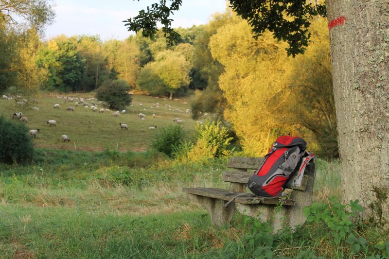
For our hikes we recommend the following equipment as standard:
- Sturdy footwear
- Weather-appropriate clothing
- Sun and rain protection
- Sufficient supply of food and drinks, as there are not always opportunities to eat or shop everywhere or they may be closed.
- Although the paths are very well marked throughout, it is recommended for safety reasons to always carry a suitable
hiking map so that you can quickly find a safe area, for example in case of a thunderstorm or emergency.
- Hiking poles recommended.
General:
Especially in autumn, pay attention that fallen leaves on the ground can cover unevenness, roots, stones or holes in the path. After thunderstorms or rainstorms, trees may still fall or branches may fall afterwards. Especially in adverse weather conditions, natural paths may have muddy and slippery sections. Not all rocks or ledges are secured with ropes or railings. Surefootedness is required in places. You must expect impairments of this kind when hiking. If you believe that certain path sections are not passable for you, you should avoid them.
NOTE:
We strive to announce all closures caused by forestry work or hunting societies on this platform. Nevertheless, there are situations where hiking trails are closed and we may not have been informed. If you unexpectedly encounter a path closure or detour, please heed the instructions for your own safety.
To Burg Lichtenberg:
Take the A62 motorway to the Konken/Kusel exit, exit towards Kusel and take the B 420 to Kusel/Diedelkopf; then turn left onto the L 176 via Ruthweiler to Thallichtenberg.
Follow the signs to Burg Lichtenberg in Thallichtenberg (via Burgstraße)
By train hourly from Kaiserslautern to Kusel. Here you have the option to hike via the Fritz-Wunderlich-Weg (signposted from the station) and join the Preußensteig at Diedelkopf. Alternatively, the "Burgenbus" (bus 297 ) runs between Kusel and Burg Lichtenberg, which is also suitable for returning to the station after a conclusion at Burg Lichtenberg.
Information: www.vrn.de .
Parking at Burg Lichtenberg (also motorhome parking), 66871 Thallichtenberg, Burgstraße 12
Coordinates: 49° 33' 24'' N / 7° 21' 29'' E
Verbandsgemeinde Kusel-Altenglan (Tourism)
Marktplatz 1, 66869 Kusel
Tel.: 06381 / 6080123
Internet: https://vg-kusel-altenglan.de/vg/tourismus/
eMail: Tourismus@vgka.de
Tourist Information Palatinate Bergland "hin & weg"
Bahnhofstraße 67, 66869 Kusel
Tel: 06381 / 424 270, Fax: 06381 / 424 280
eMail: touristinformation@kv-kus.de
Opening hours:
Mon - Fri: 7.30 am - 4 pm
Sat + Sun: 9 am - 2 pm
Burg Lichtenberg
Be sure to allow enough time for Burg Lichtenberg .
The longest castle ruin in Germany with over 400m and a great view from the bergfried is definitely worth a visit. (Admission free all year round, museums charge admission!)
Tururi populare în vecinătate
-
3,0
Brücken - Traumtour Diamant
greleExcursie 15,2 km -
5,0
Glan-Blies cycle path | Waldmohr - Staudernheim
mediuPistă pentru biciclete pe distanțe lungi 74,9 km -
4,0
Börsborn - Von-der-Leyen-Weg
mediuTraseu tematic 12,2 km -
Breitenbach - Panoramaweg
mediuTraseu tematic 11,7 km -
Blaubach - Aussichtsreich zur Burg Lichtenberg
mediuExcursie 12,2 km -
Altenkirchen - Kirschenland-Weg (Rundweg - 22,6 km)
mediuTraseu tematic 22,5 km -
Börsborn - Muhleichenweg
mediuExcursie 11,3 km -
Preußensteig (Northern Route)
greleExcursie 17,9 km -
Henschtal - Eichhörnchenweg im Hodenbachtal
mediuExcursie 8,18 km -
Horschbach - Herrmannsberg high route "Panorama route"
mediuExcursie 9,39 km
Drumeții și urmărire


Nu ratați ofertele și inspirația pentru următoarea dvs. vacanță
Adresa dvs. de e-mail a fost adăugat la lista de corespondență.