

© Terra Dinarica - planinarenje.ba

© Terra Dinarica - planinarenje.ba

© Terra Dinarica - planinarenje.ba

© Terra Dinarica - planinarenje.ba

© Terra Dinarica - planinarenje.ba

- Scurtă descriere
-
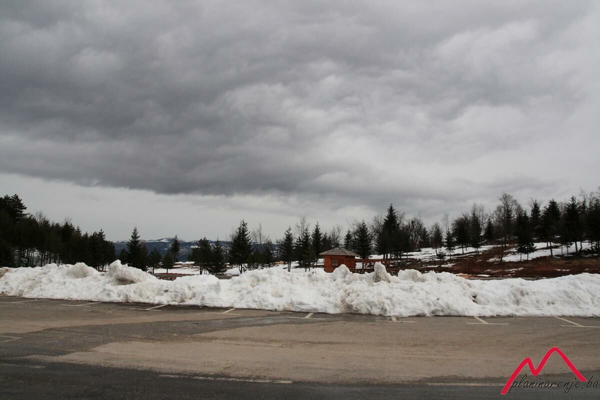
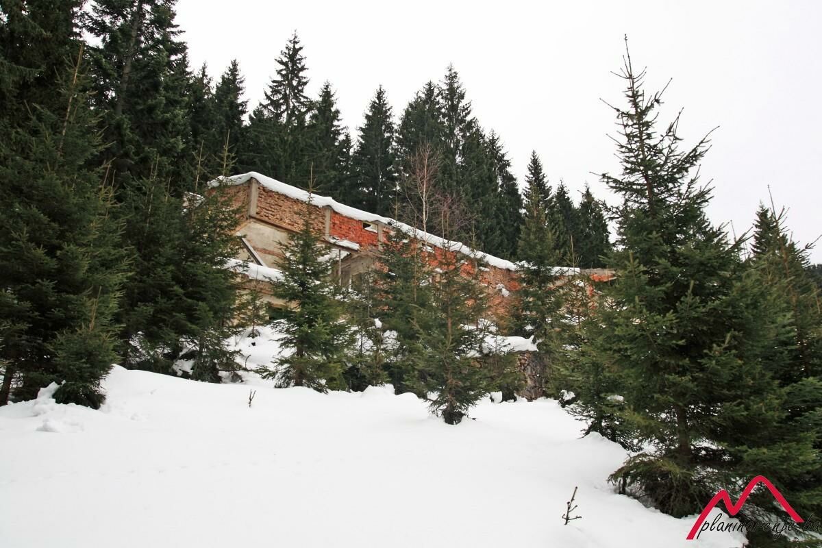
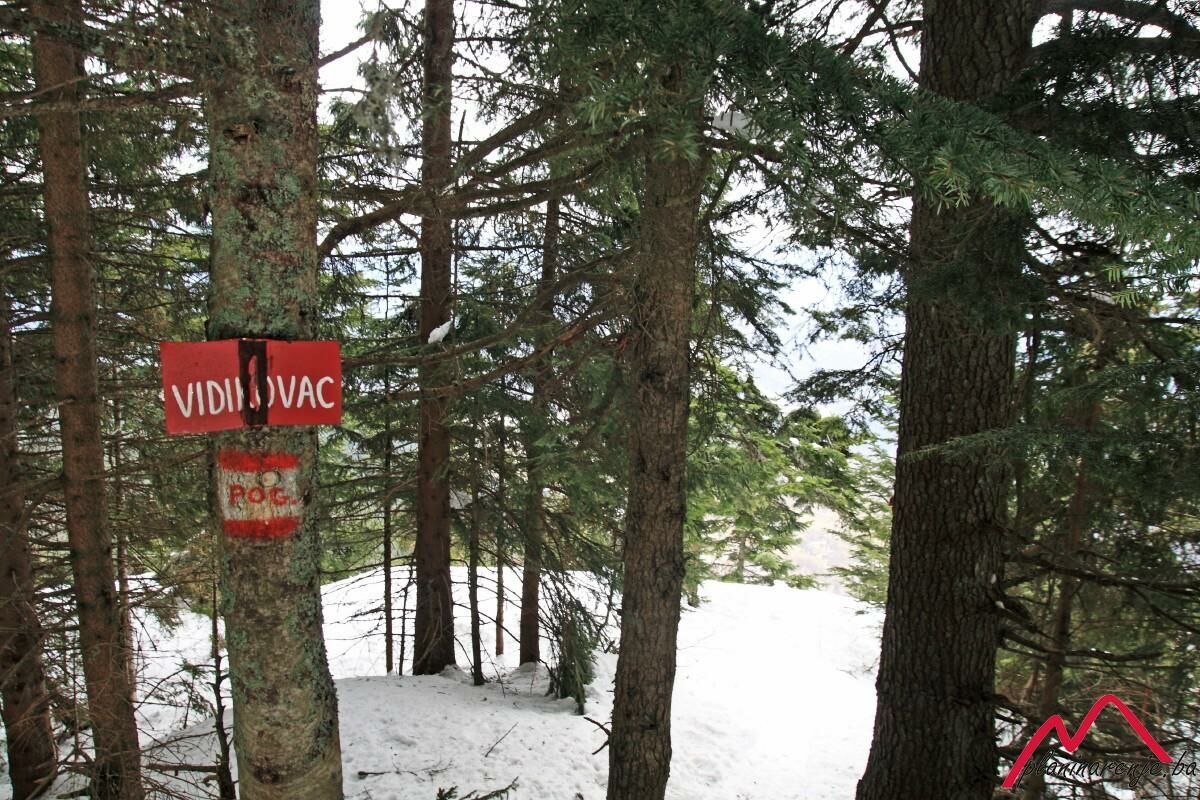
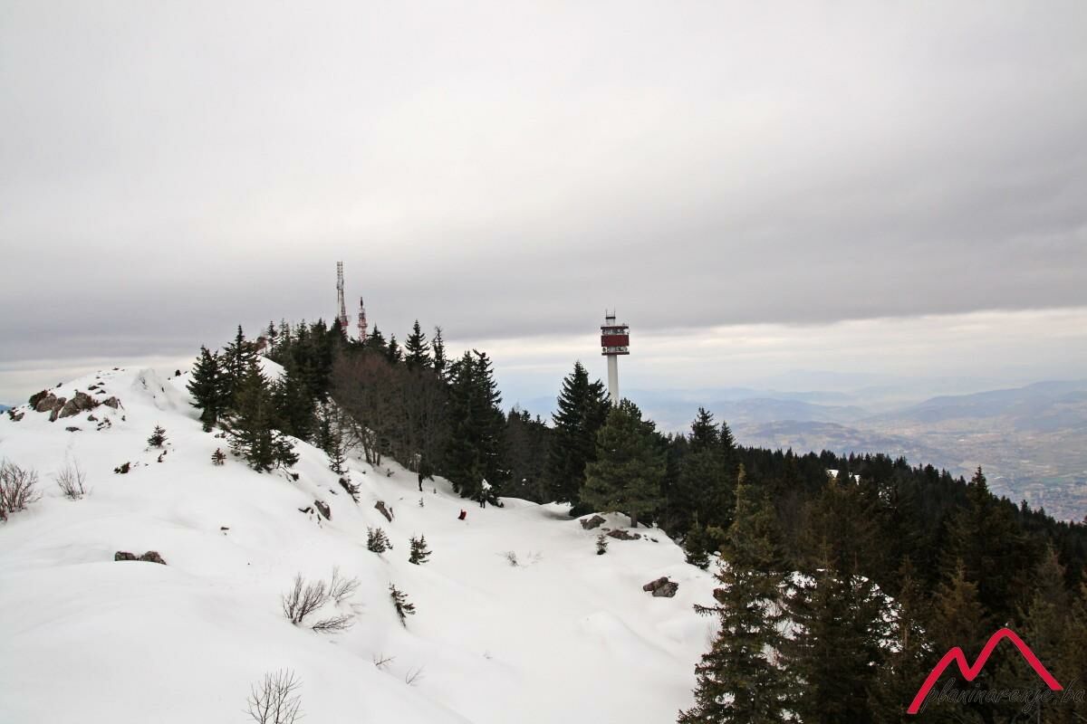
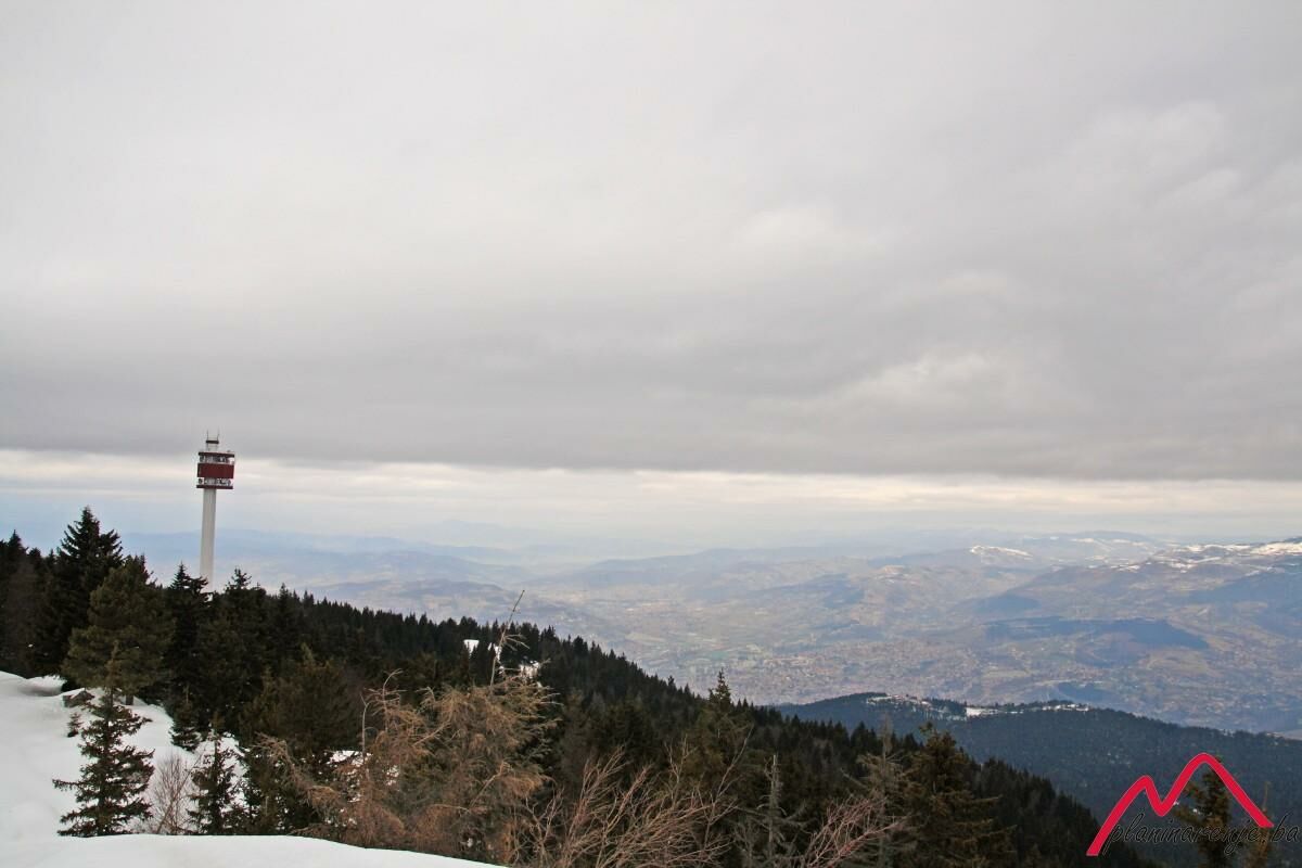
It is a pleasant tour along easily traversable trail which goes through coniferous forest and allows one to get to grips with moderately high altitude due to gradual climb via long serpentine trails. The pay-off comes in the form of an attractive ridge on the Sofe summit, offering a view of the major portion of the area of Bosnia and Herzegovina.
- Greutăţi
-
mediu
- Evaluare
-
- Ruta
-
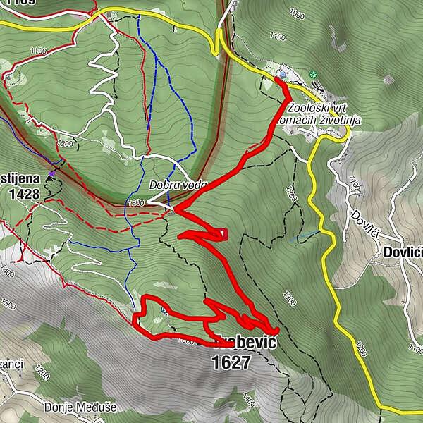
Brus0,1 kmPD Dobre vode1,2 kmTrebević-Sofe (1.627 m)4,4 kmBrus9,1 km
- Cel mai bun sezon
-
augsepoctnovdecianfebmaraprmaiiuniul
- Cel mai înalt punct
- 1.606 m
- Destinație
-
Sofe peak
- Profil de elevație
-
 © outdooractive.com
-

-
AutorTurul Brus - Sofe este utilizat de outdooractive.com furnizat.
GPS Downloads


Informaţii generale
Oprire pentru băuturi răcoritoare
Sfat din interior
Promițător