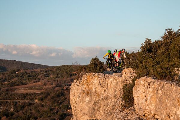
© A hocquel VPA

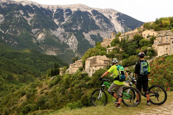
© A hocquel VPA

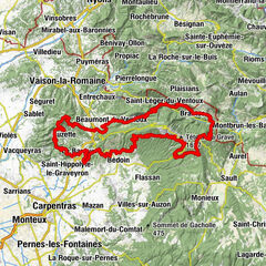
© A hocquel VPA

© A hocquel VPA

- Scurtă descriere
-
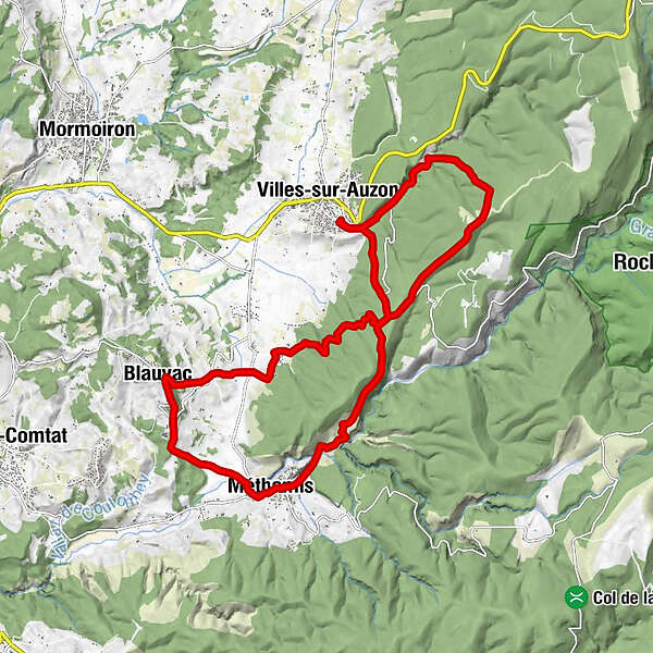
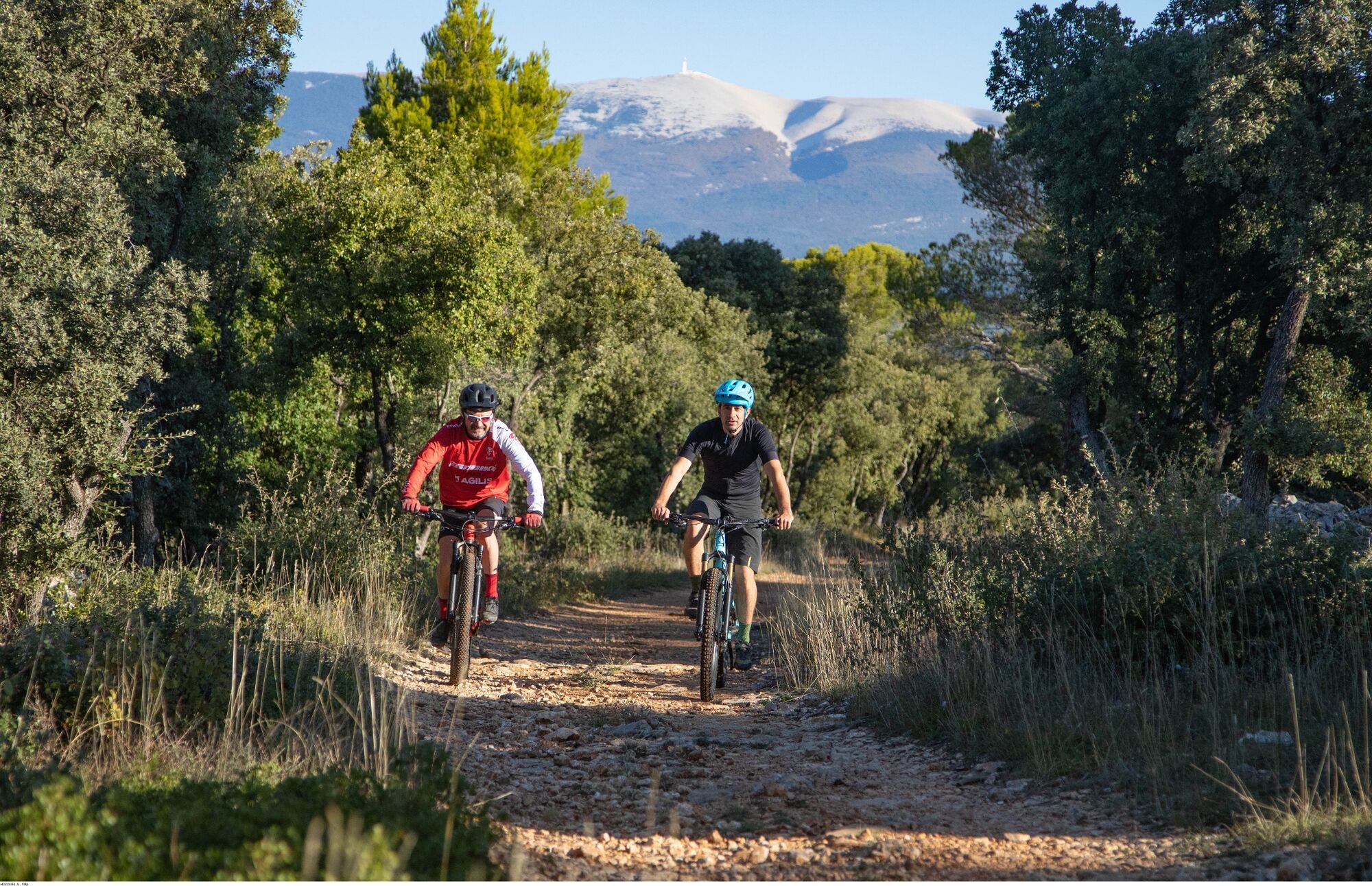
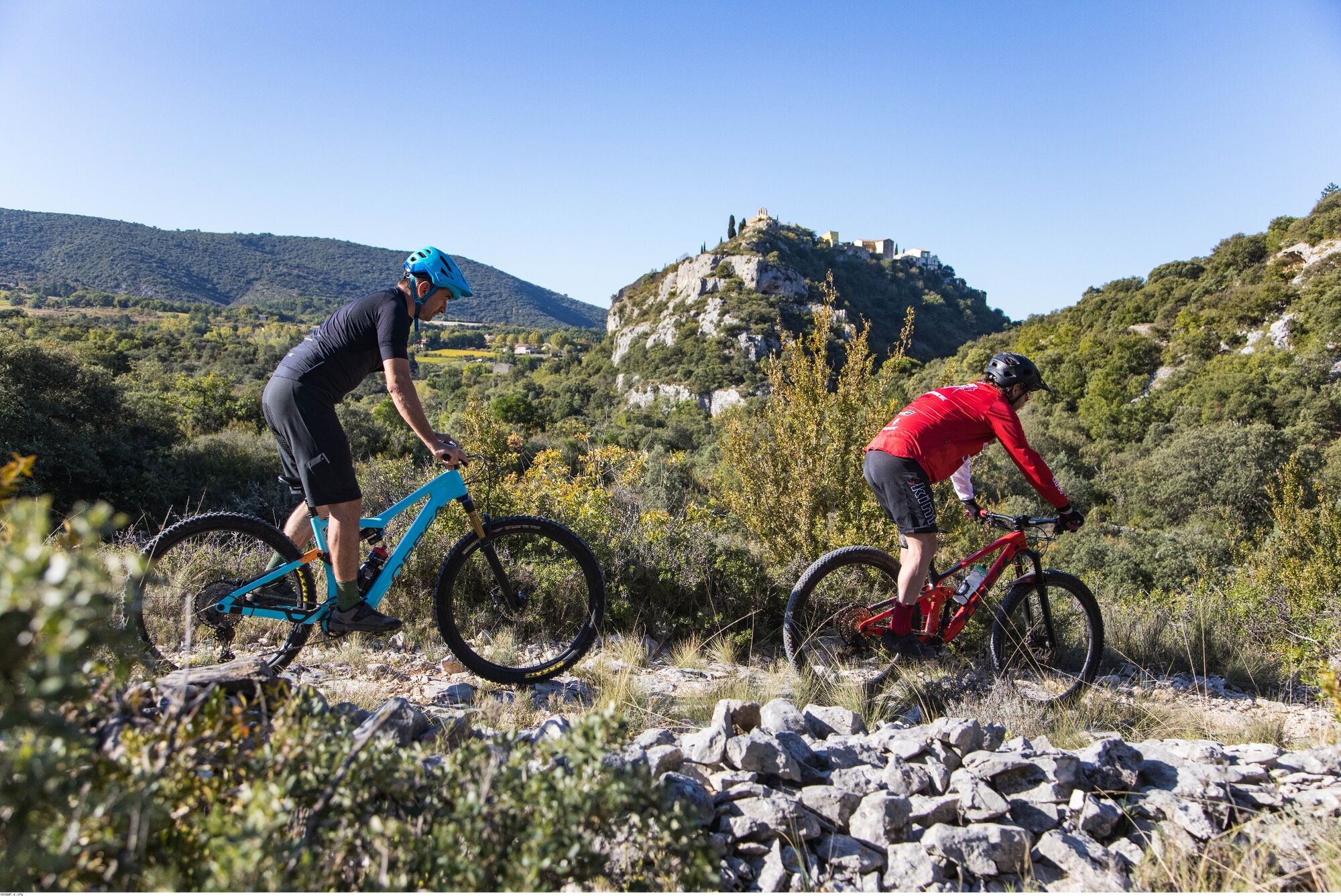
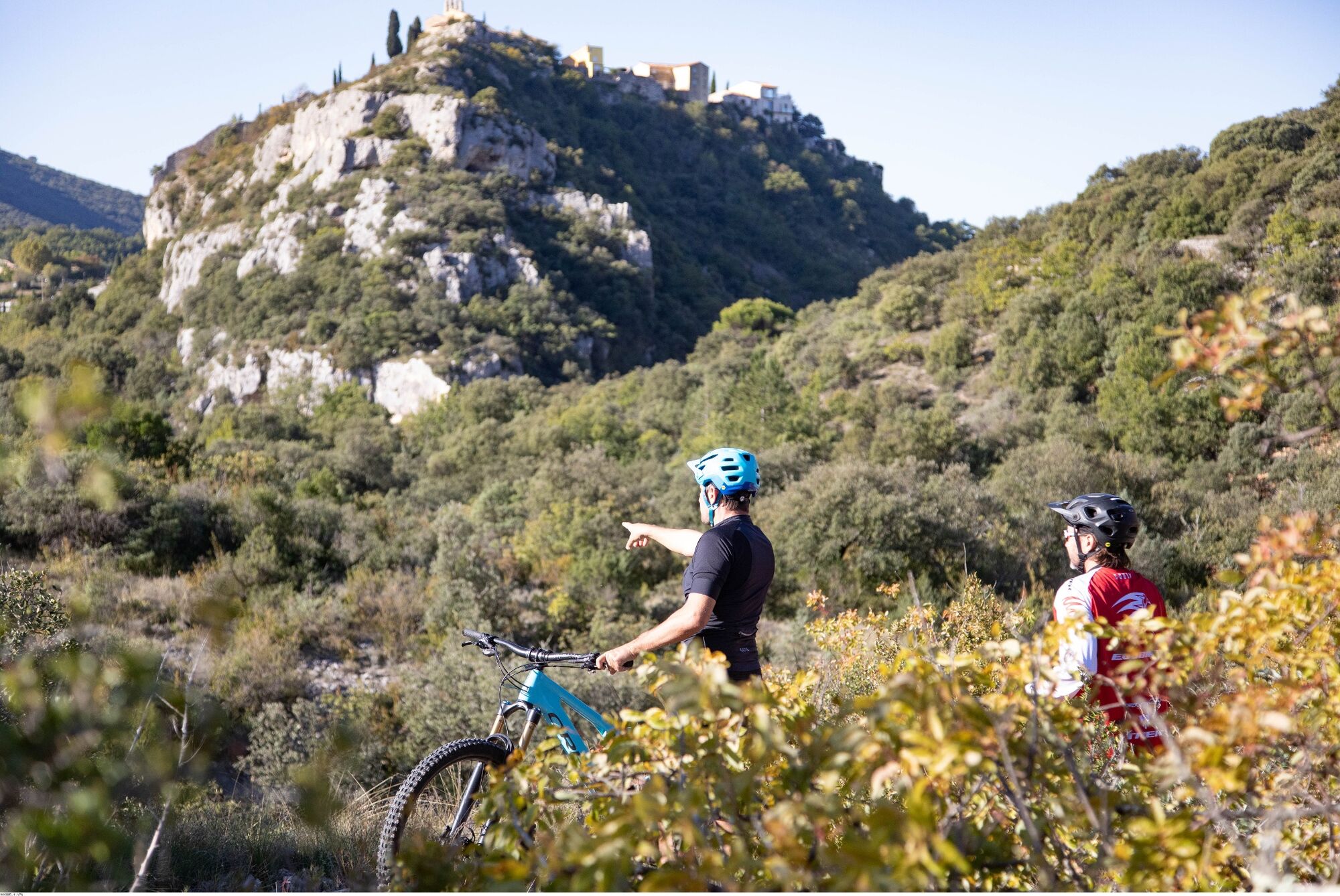
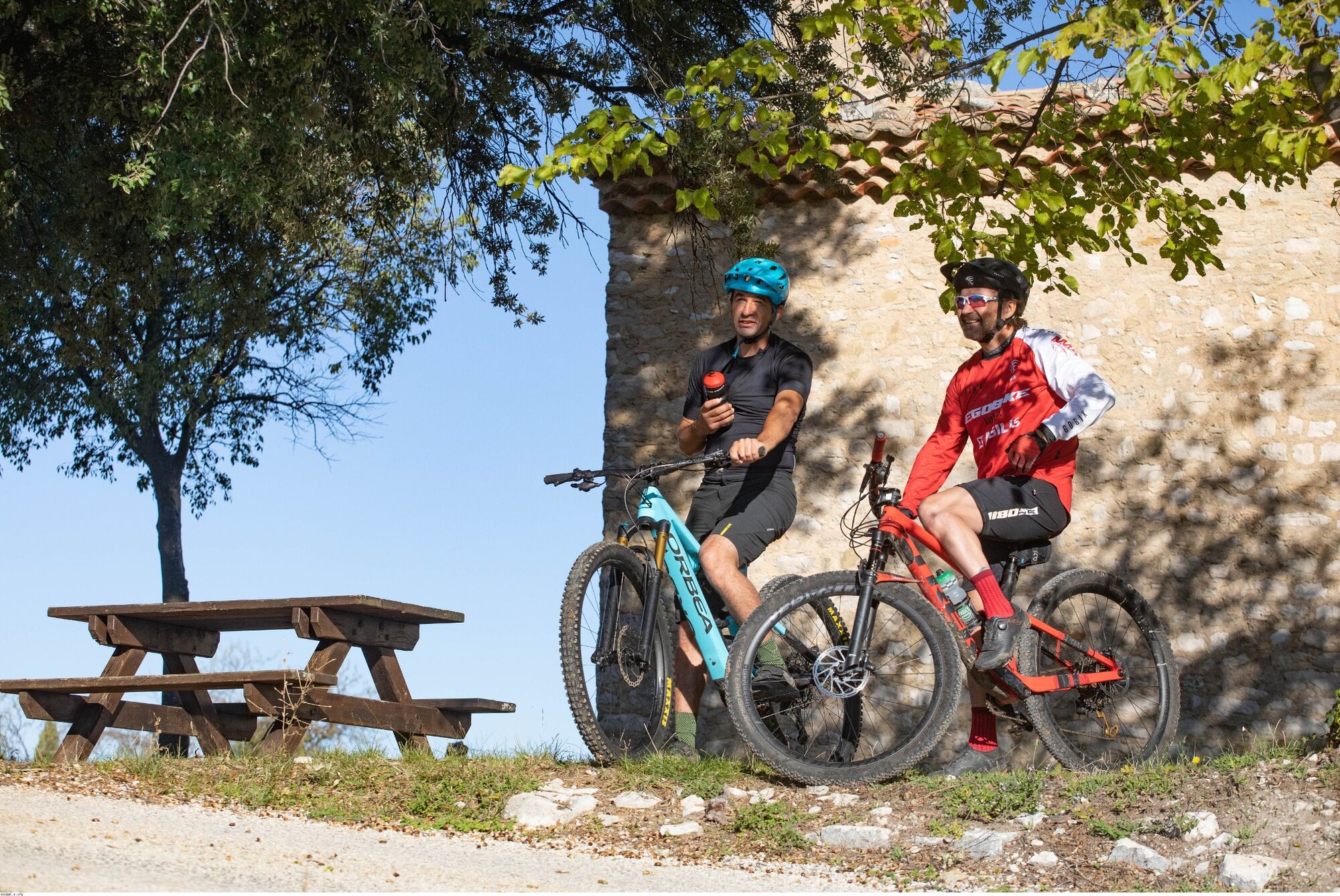
Difficult mountain bike itinerary at the foot of the Nesque River Canyons
- Greutăţi
-
greu
- Evaluare
-
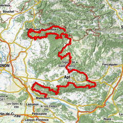
- Ruta
-
Villes-sur-AuzonAven de Crussin0,3 kmPerta de Methamis (280 m)5,6 kmMéthamis6,3 kmLa Calade9,7 kmÉglise Saint Sébastien9,7 kmBlauvac9,8 kmLes Gauchers12,1 kmAven de Crussin21,4 kmVilles-sur-Auzon21,8 km
- Cel mai bun sezon
-
ianfebmaraprmaiiuniulaugsepoctnovdec
- Cel mai înalt punct
- 571 m
- Destinație
-
Stade de Villes-sur-Auzon
- Profil de elevație
-
 © outdooractive.com
- Autor
-
Turul MTB n°13 - At the gates of the Nesque este utilizat de outdooractive.com furnizat.
GPS Downloads


Mai multe tururi în regiuni