
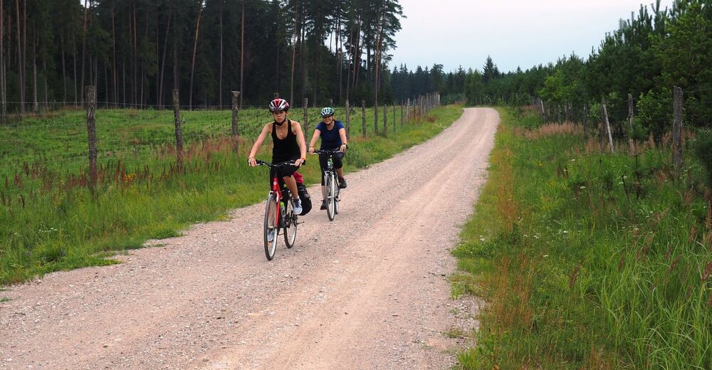
© Alpdest CEE - Luděk Kühr
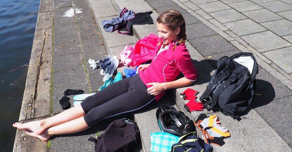
© Alpdest CEE - Luděk Kühr
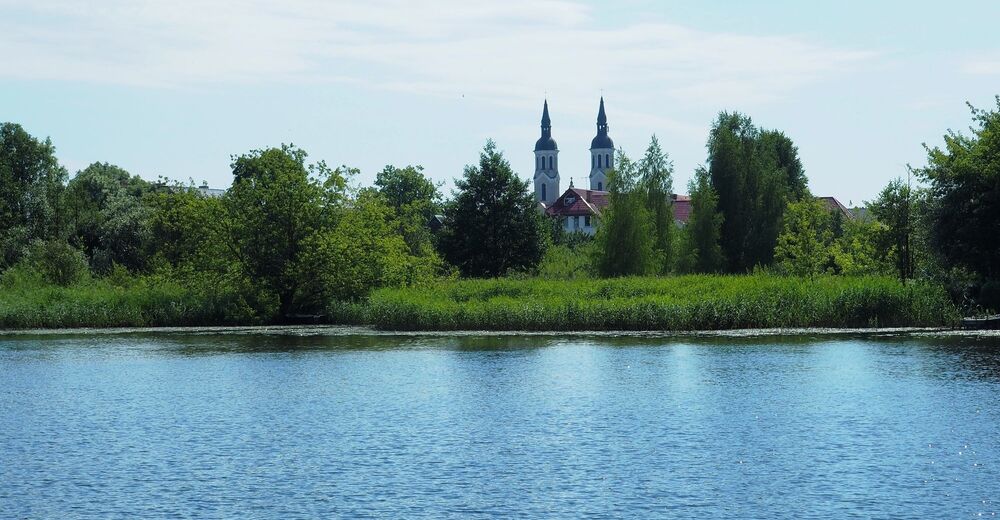
© Alpdest CEE - Luděk Kühr
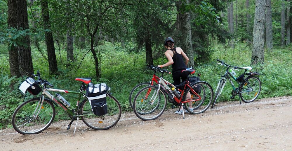
© Alpdest CEE - Luděk Kühr
© Alpdest CEE - Luděk Kühr
© Alpdest CEE - Luděk Kühr
© Alpdest CEE - Luděk Kühr
© Alpdest CEE - Luděk Kühr

© Alpdest CEE - Luděk Kühr
© Alpdest CEE - Luděk Kühr

- Scurtă descriere
-
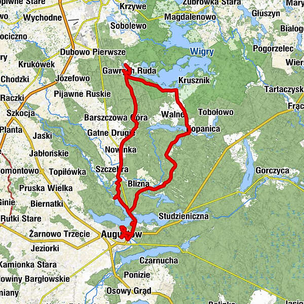
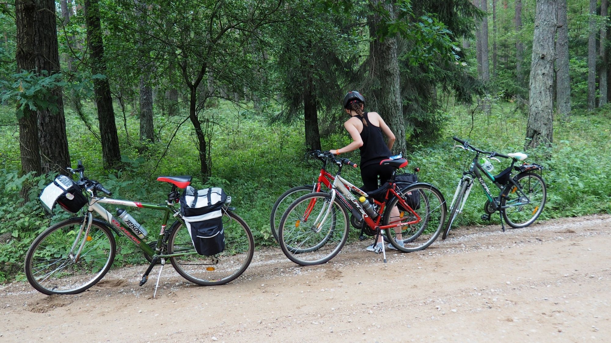
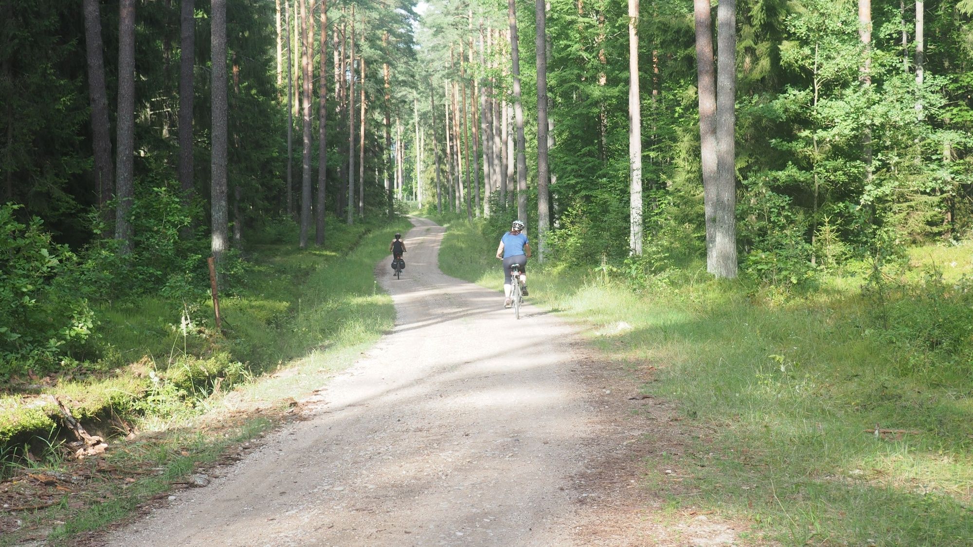
From a Wigry Lake to the city of Augustow and back
- Ruta
-
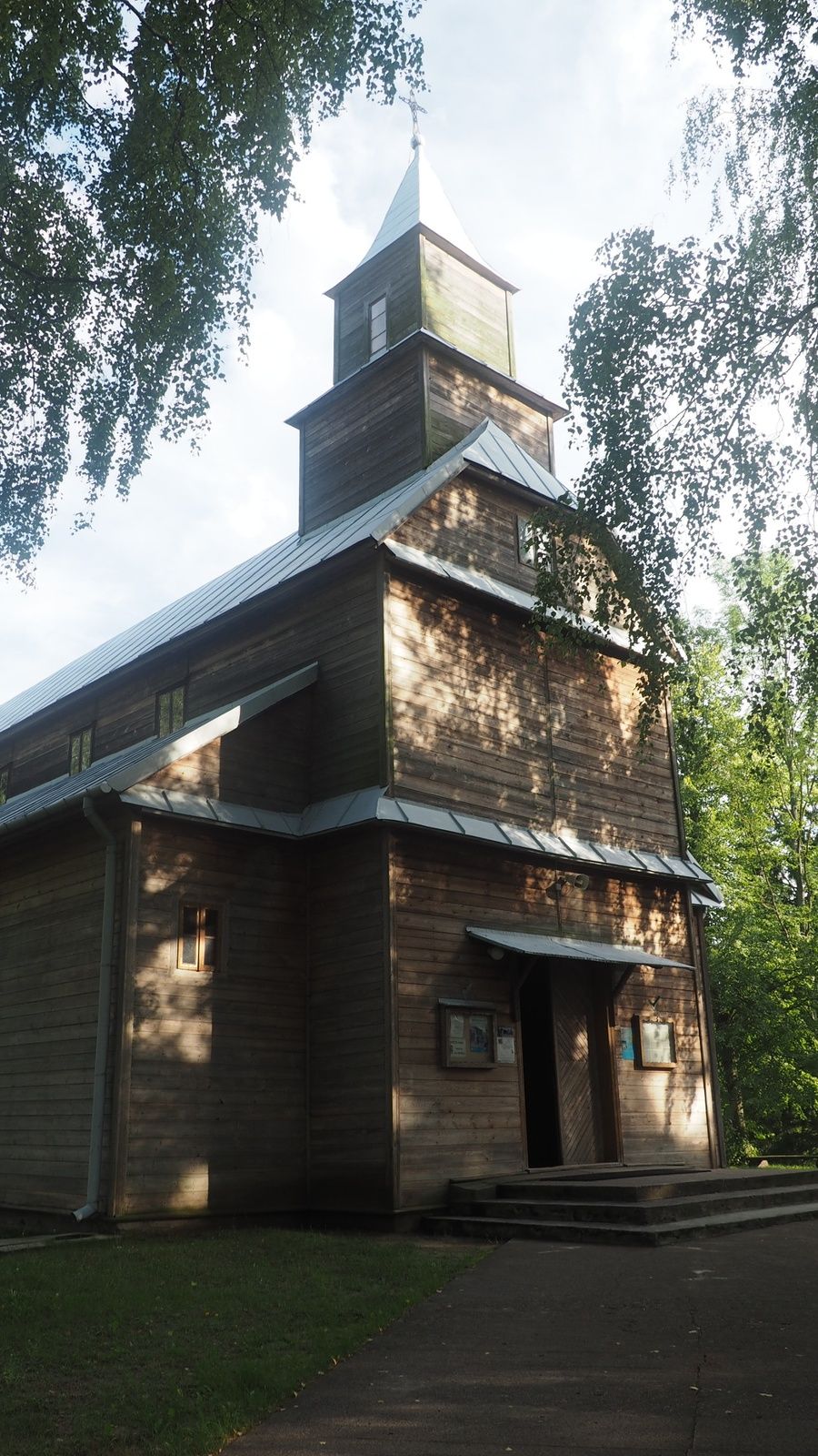
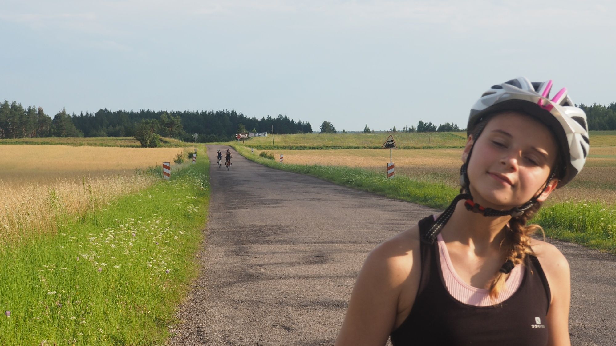
Gawrych Ruda1,2 kmMłyn1,4 kmPłociczno-Tartak2,1 kmPłociczno Tartak2,2 kmPrzy Kolejce2,2 kmKościół pw. Świętego Maksymiliana Marii Kolbego2,5 kmŚlepsk11,3 kmNowinka13,3 kmPiaskowa Góra17,0 kmStrękowizna23,0 kmKlonownica23,2 kmOsiedle Polanica24,1 kmZarzecze26,7 kmAugustów30,0 kmOsiedle Polanica34,3 kmKlonownica35,1 kmStrękowizna35,3 kmGospoda Dzik na Górce50,3 kmDanowskie51,3 kmMonkinie53,9 kmKościół pw. Matki Bożej Anielskiej54,1 kmBryzgiel56,0 kmWigraszek56,2 kmMłyn63,0 kmGawrych Ruda63,3 km
- Cel mai înalt punct
- 175 m
- Destinație
-
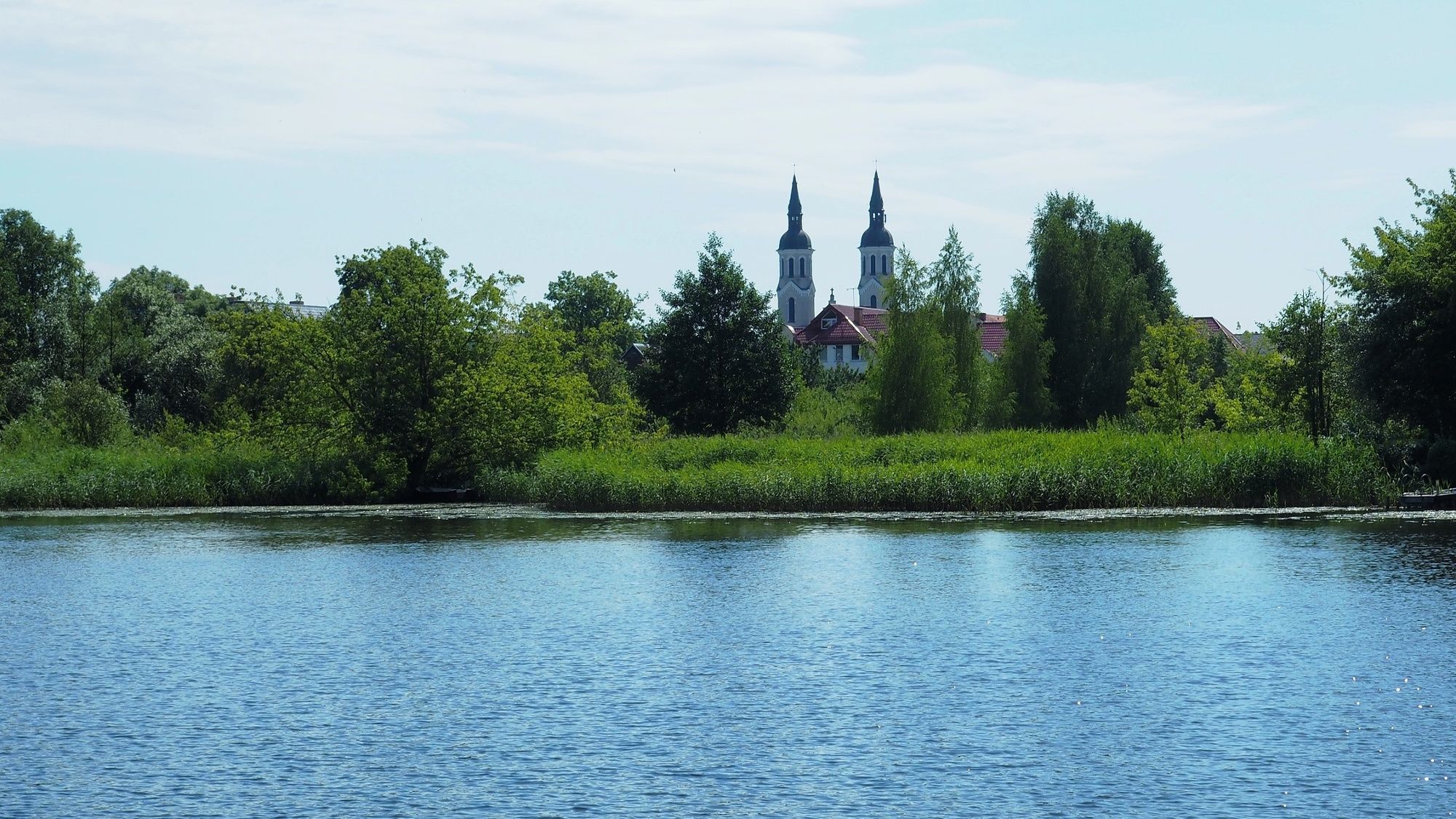
Gawrych Ruda
- Profil de elevație
-
 © outdooractive.com

-

-
AutorTurul From the Wigry Lake to the city of Augustow and back este utilizat de outdooractive.com furnizat.