© Heidiland Tourismus - Thomas Kessler

© Heidiland Tourismus - Thomas Kessler

© Heidiland Tourismus - Thomas Kessler

© Heidiland Tourismus - Thomas Kessler

© Heidiland Tourismus - Thomas Kessler

© Heidiland Tourismus - Thomas Kessler

© Heidiland Tourismus - Thomas Kessler

© Heidiland Tourismus - Thomas Kessler

© Heidiland Tourismus - Thomas Kessler

- Scurtă descriere
-
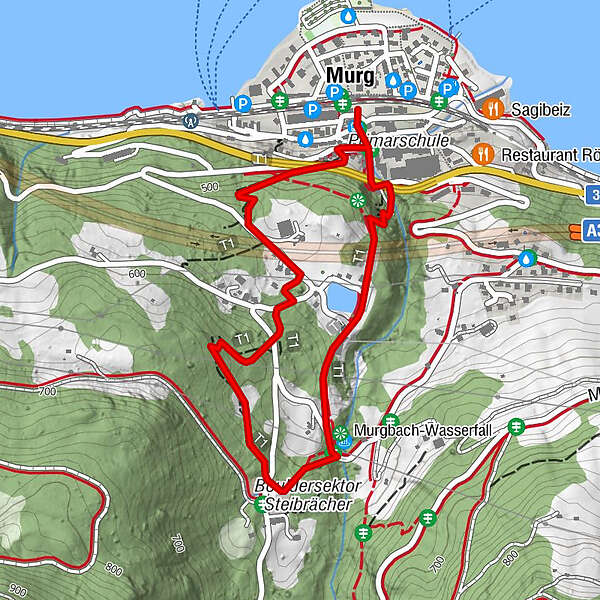
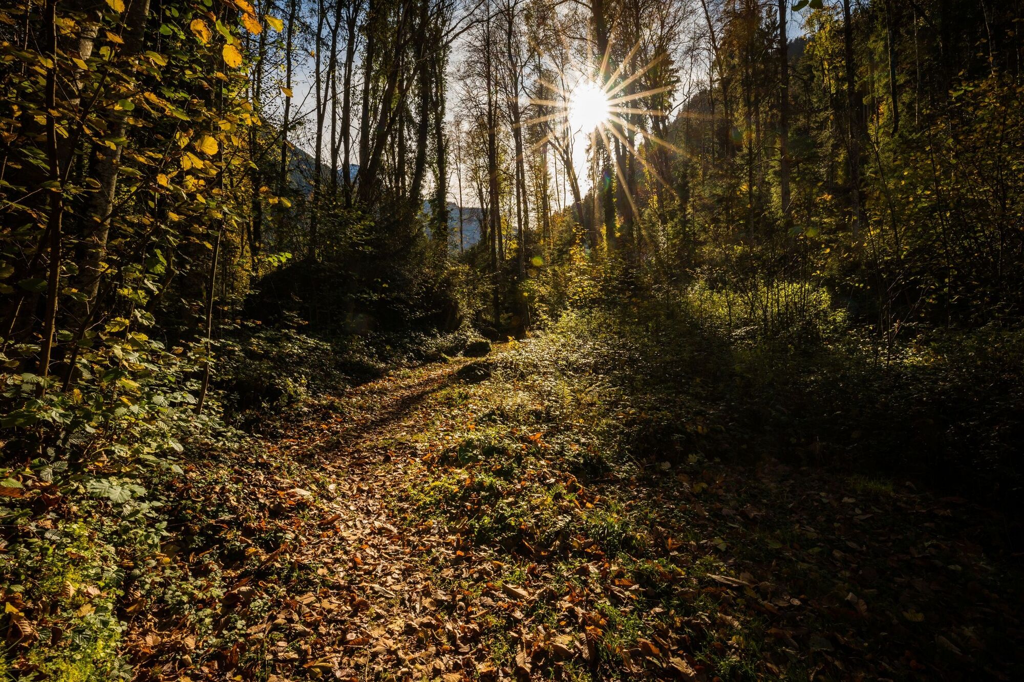
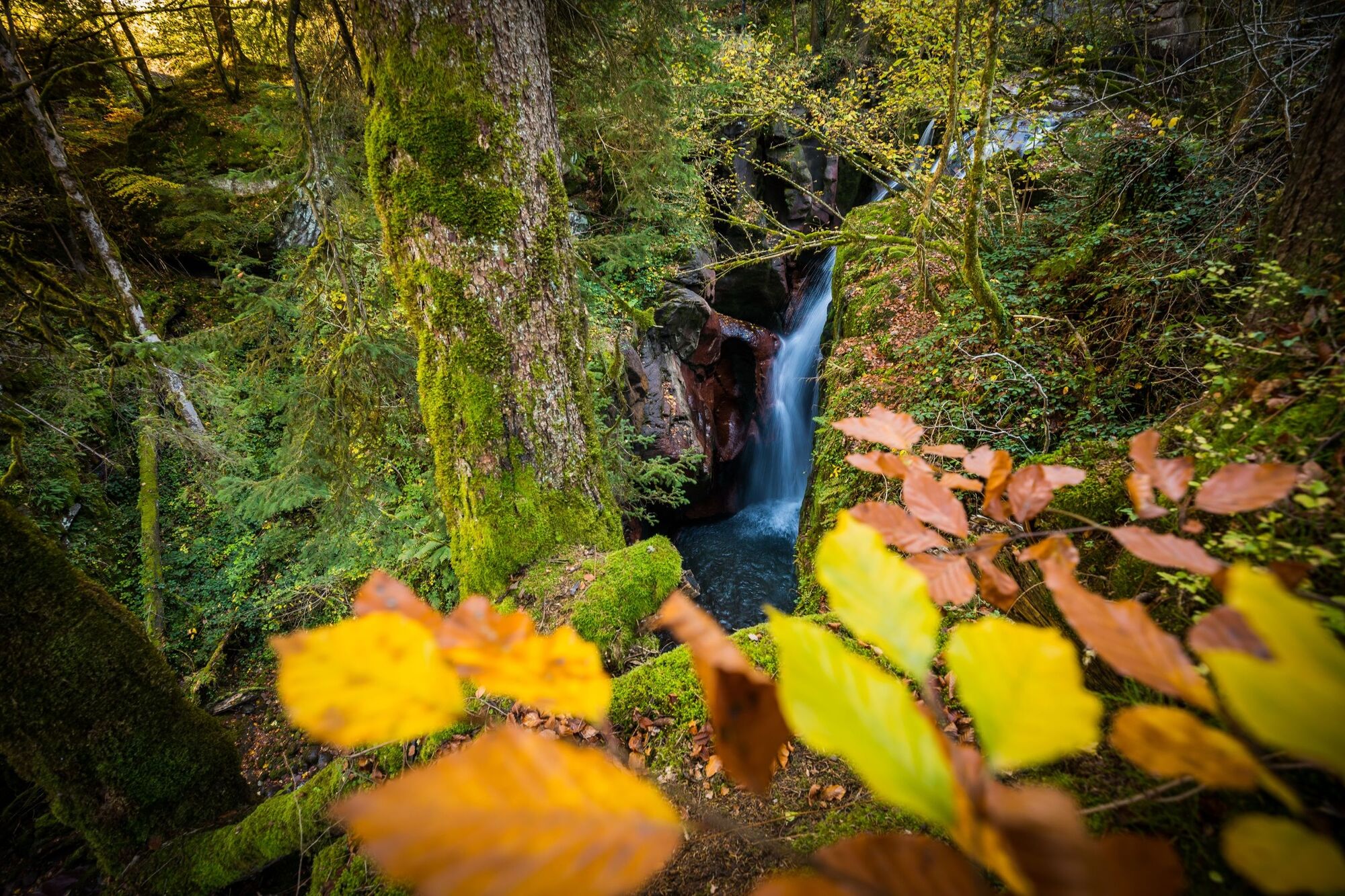
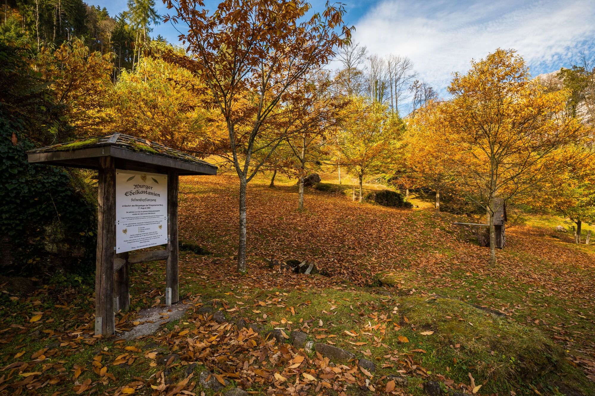
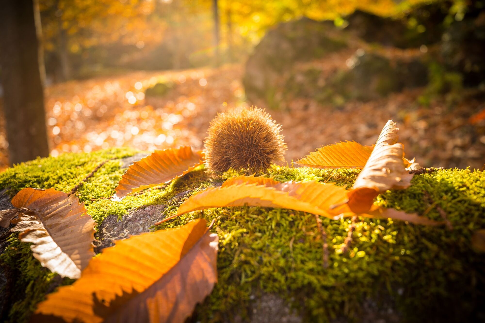
This easy hike takes you to Switzerland's largest chestnut forest north of the Alps. A gorge, an impressive waterfall and a playground await you along the way.
- Greutăţi
-
uşor
- Evaluare
-
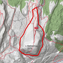
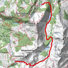
- Ruta
-
Murg (448 m)Luchsberg0,8 km
- Cel mai bun sezon
-
ianfebmaraprmaiiuniulaugsepoctnovdec
- Cel mai înalt punct
- 600 m
- Destinație
-
Murg, Bahnhof
- Profil de elevație
-
 © outdooractive.com


- Autor
-
Turul Chestnut path Murg este utilizat de outdooractive.com furnizat.
GPS Downloads


Informaţii generale
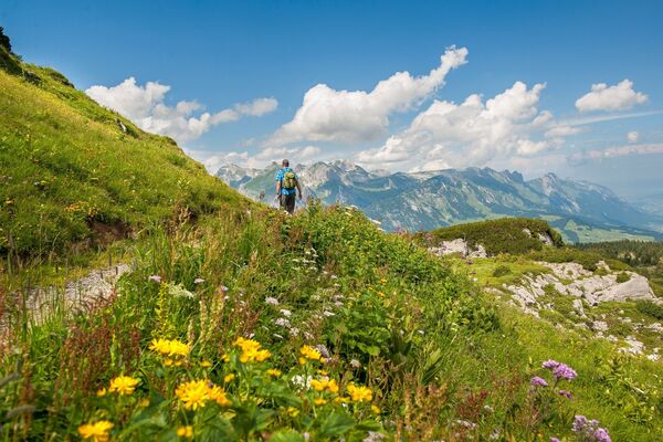
Flora
Mai multe tururi în regiuni
-
Heidiland
2200
-
Walensee
916
-
Murg am Walensee
247