
- Scurtă descriere
-
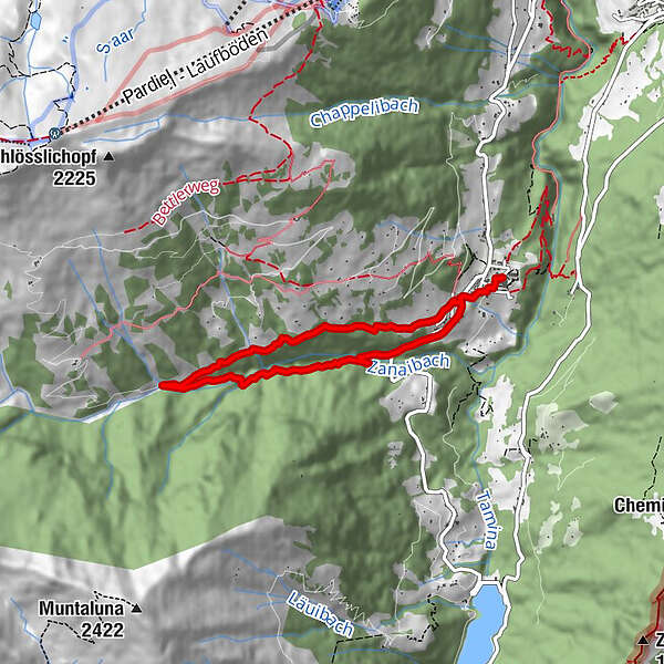
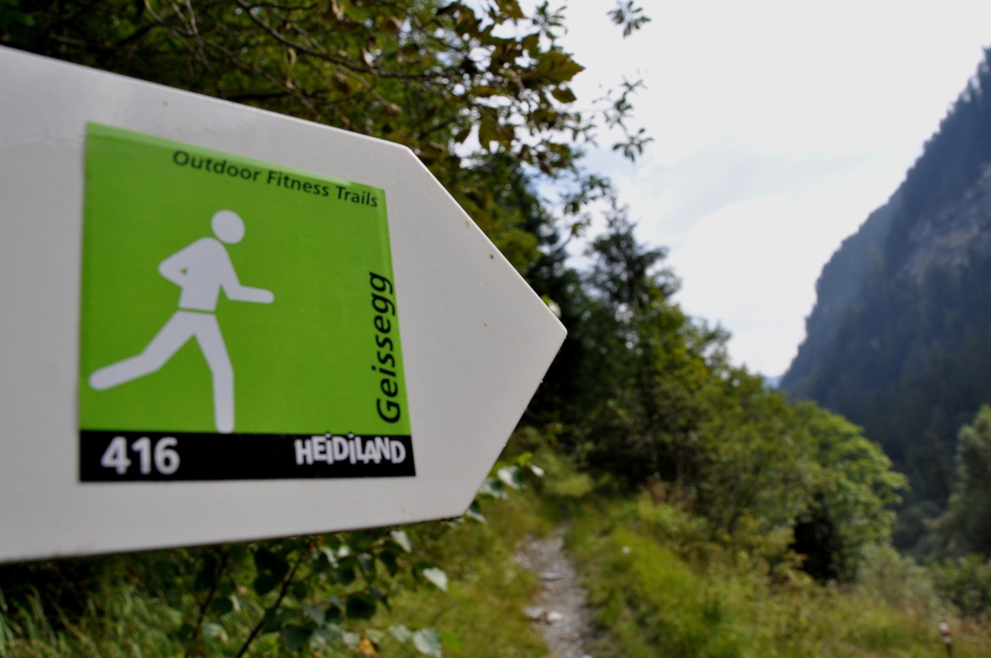
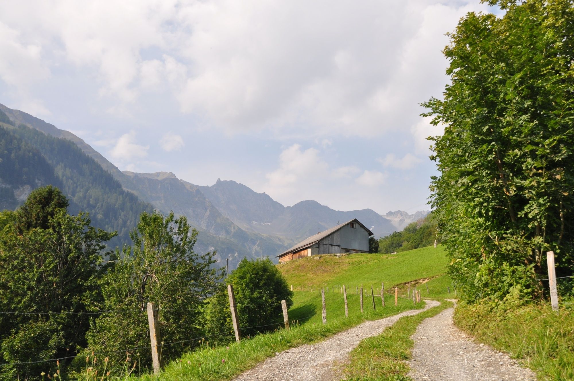
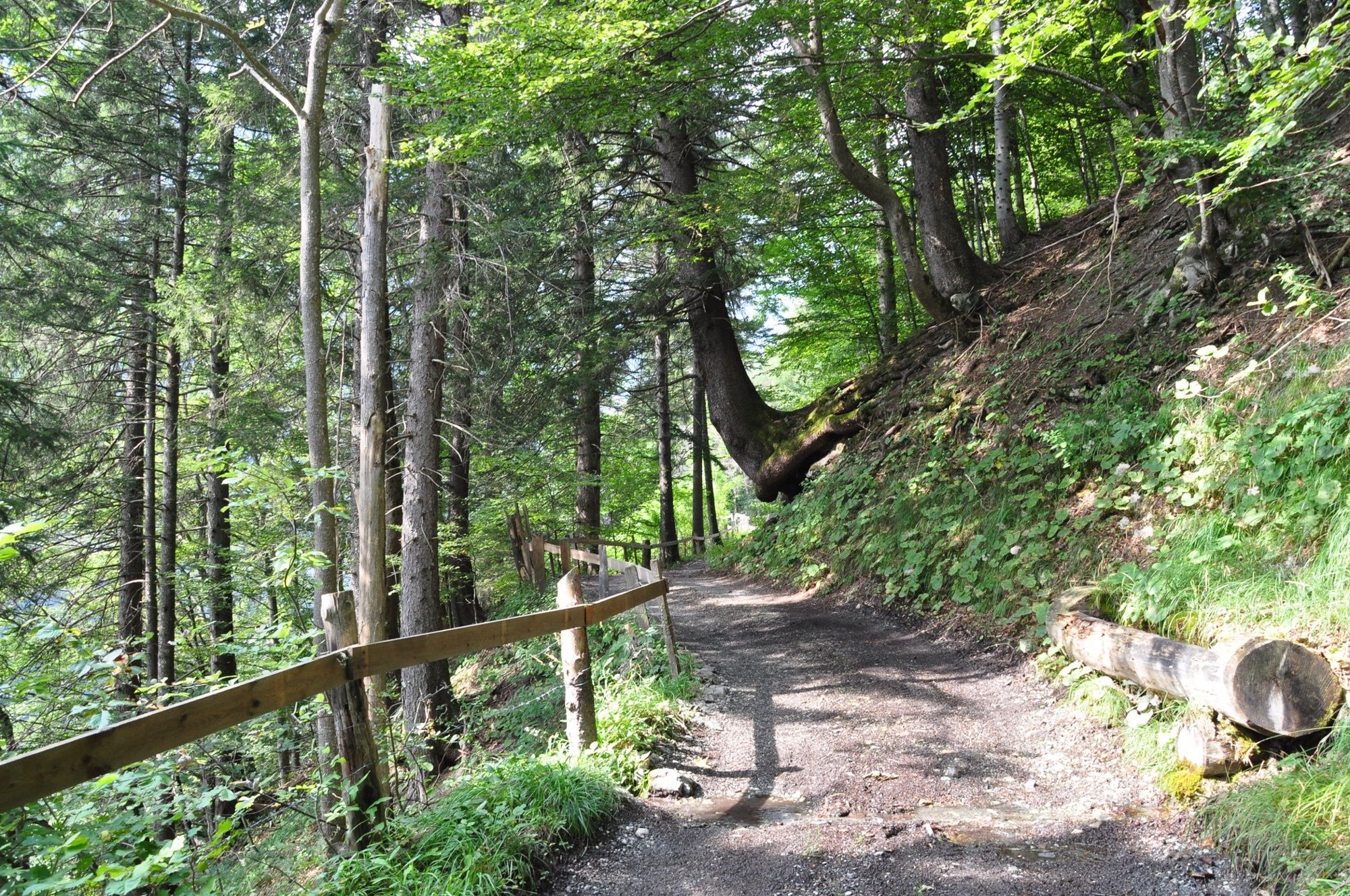
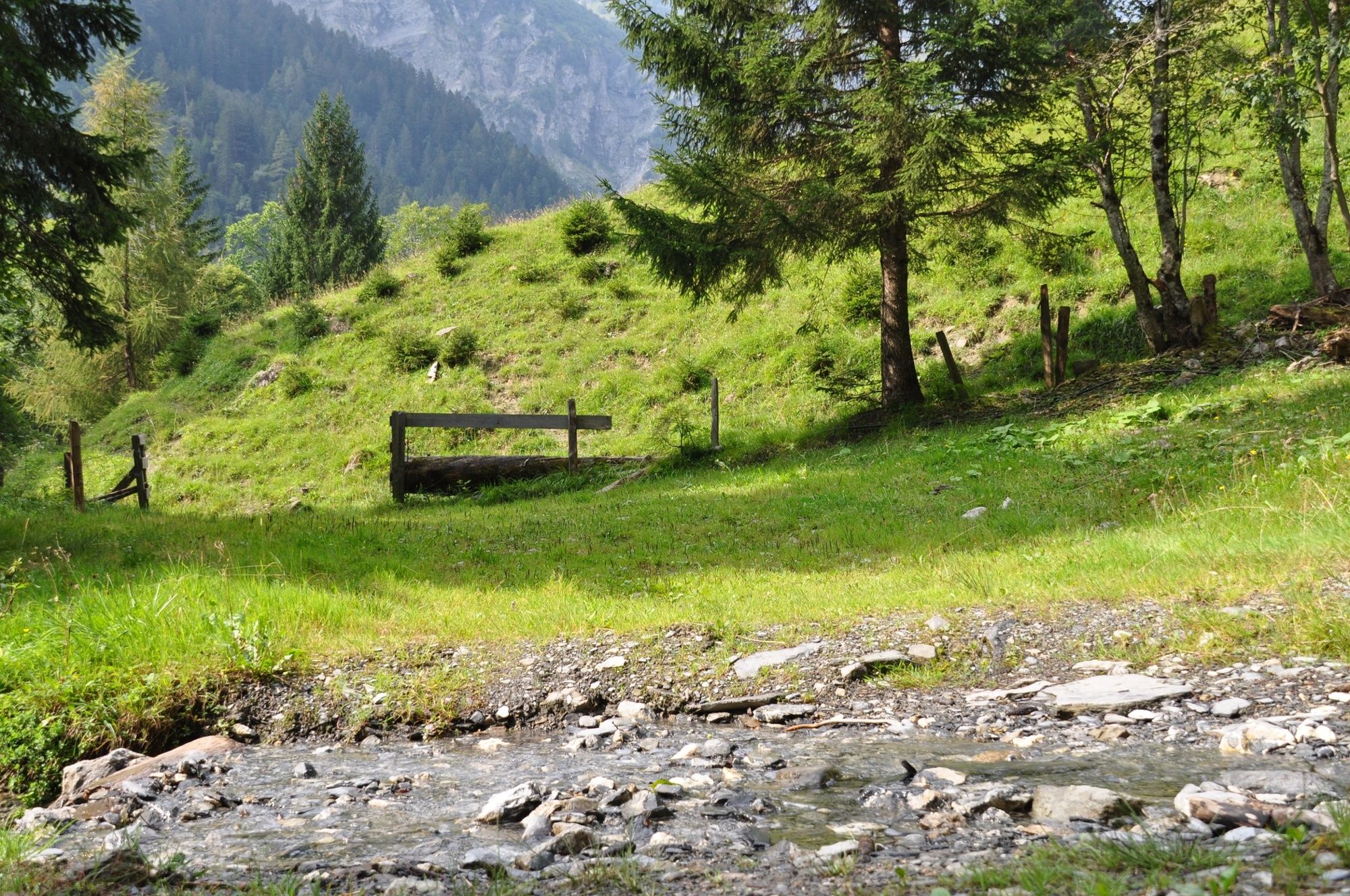
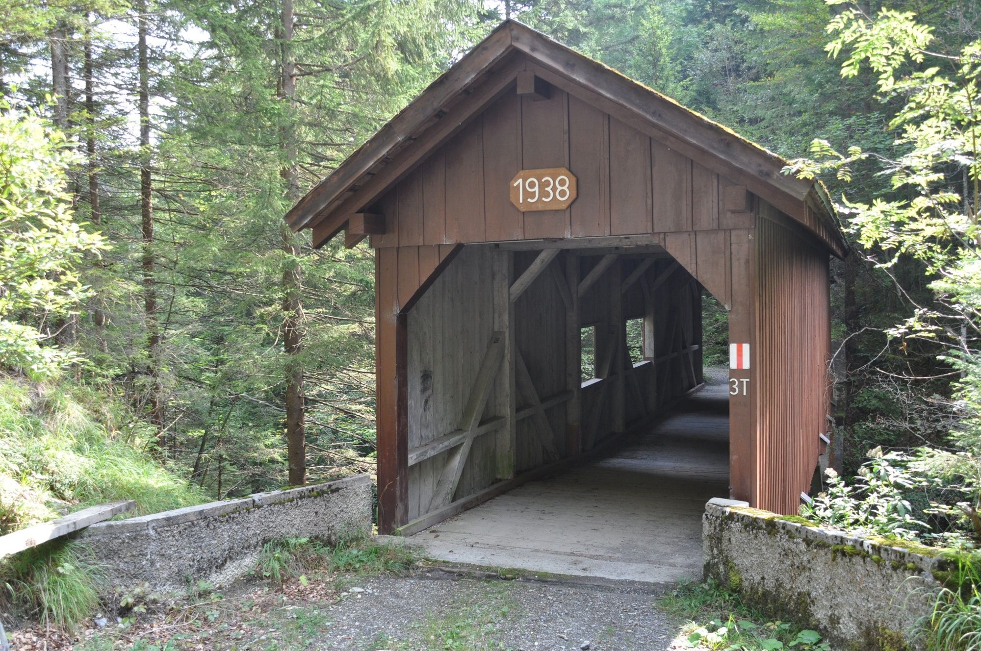
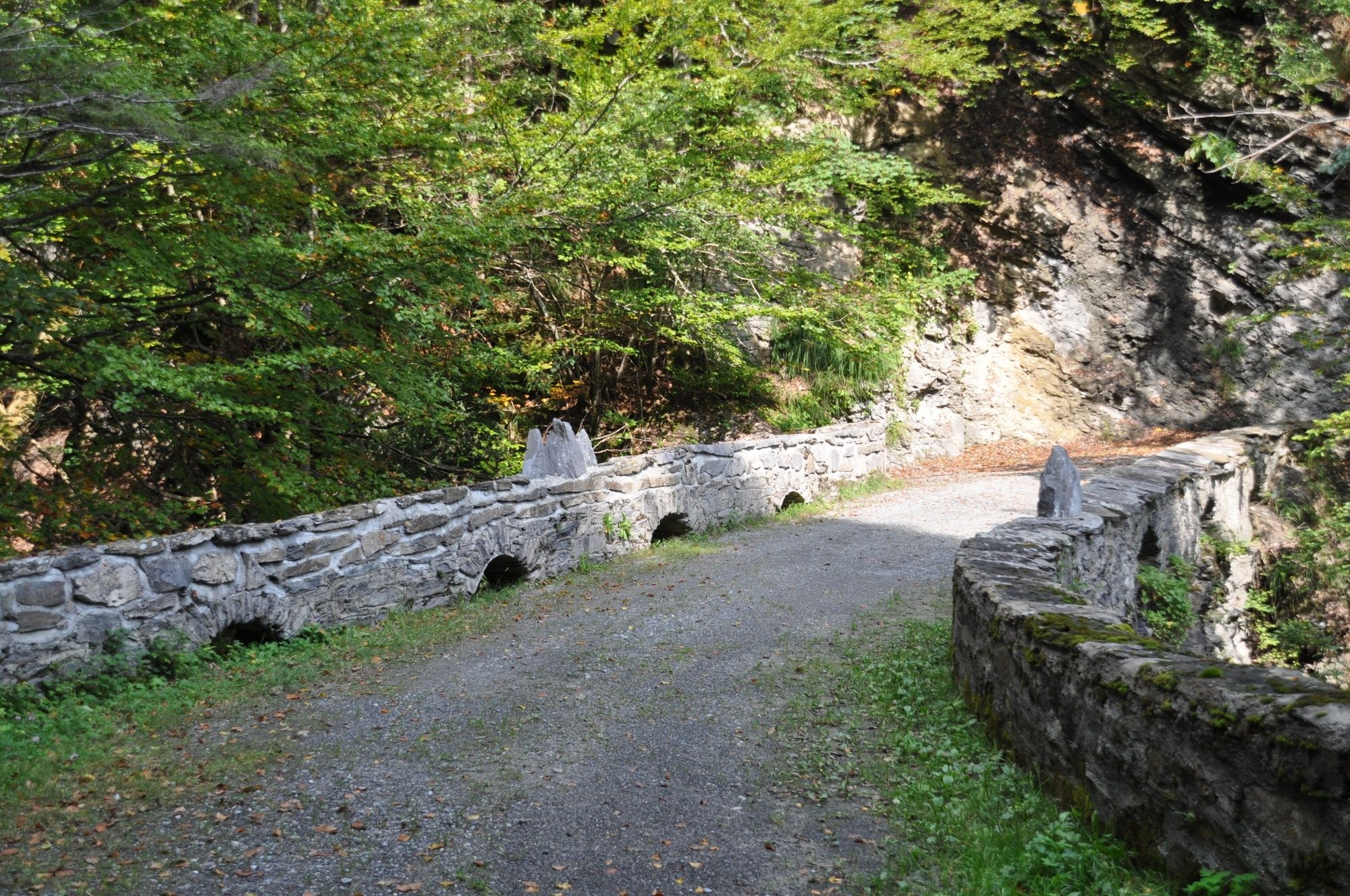
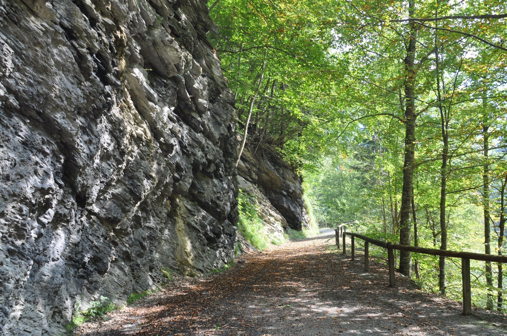
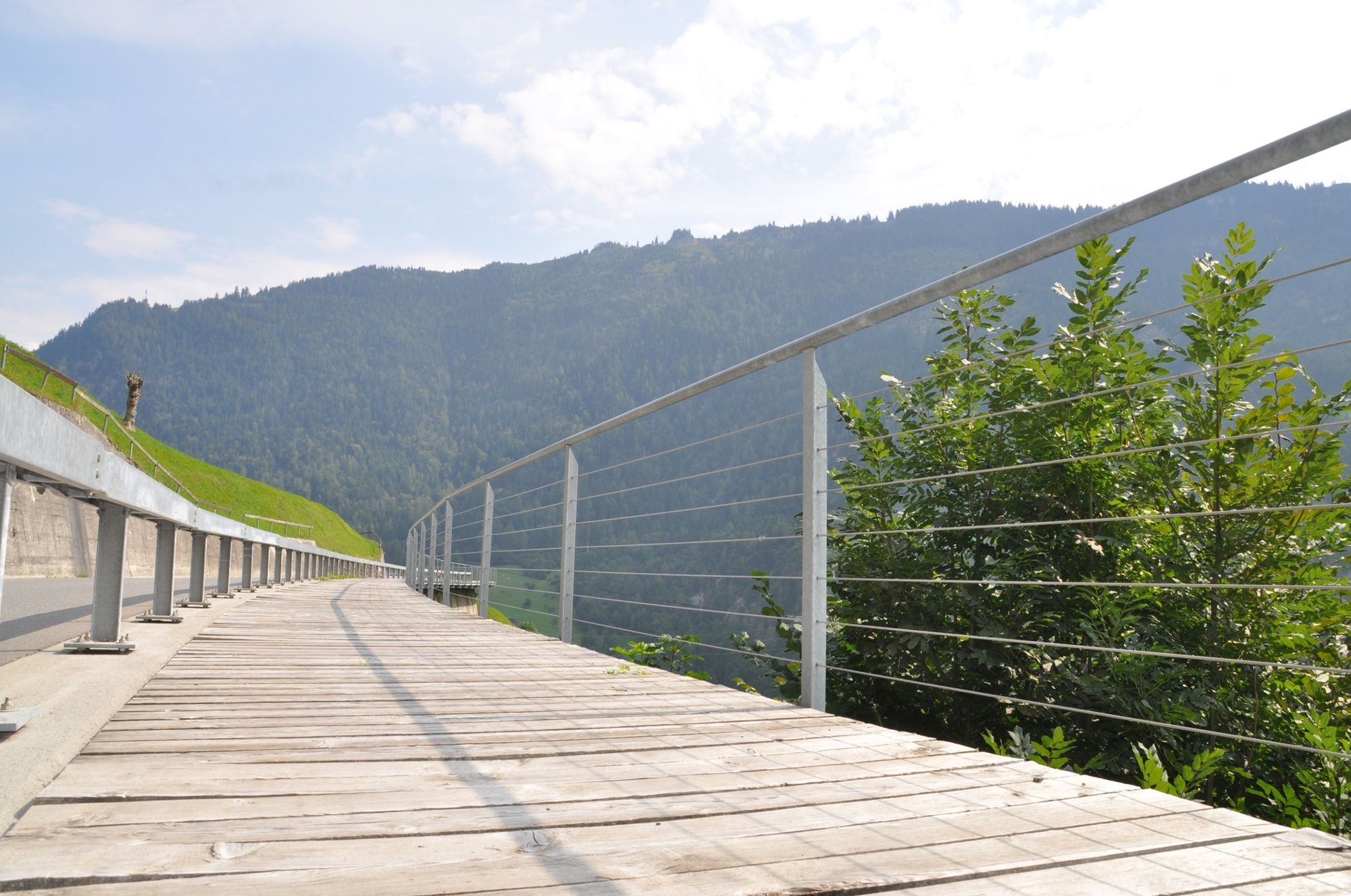
The spectacular views into the Mülitobel Gorge have to be worked hard for. The ascent to Geissegg is sometimes very steep - and the subsequent descent is also not completely easy.
- Greutăţi
-
greu
- Evaluare
-
- Ruta
-
Valens0,1 kmKatholische Kirche St. Philipp und Jakob0,2 kmKatholische Kirche St. Philipp und Jakob6,3 kmValens6,4 km
- Cel mai bun sezon
-
ianfebmaraprmaiiuniulaugsepoctnovdec
- Cel mai înalt punct
- 1.192 m
- Destinație
-
Valens, Infopoint der Station Valens
- Profil de elevație
-
 © outdooractive.com

- Autor
-
Turul Geissegg-Trail 416 este utilizat de outdooractive.com furnizat.
GPS Downloads


Informaţii generale
Oprire pentru băuturi răcoritoare
Promițător