
- Scurtă descriere
-
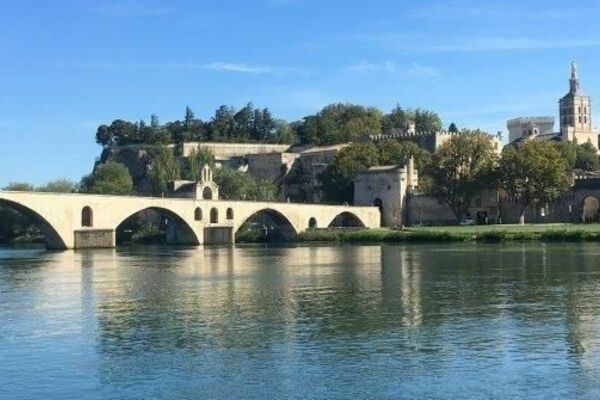
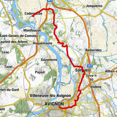
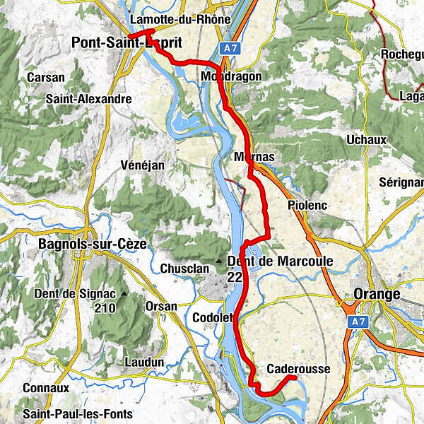
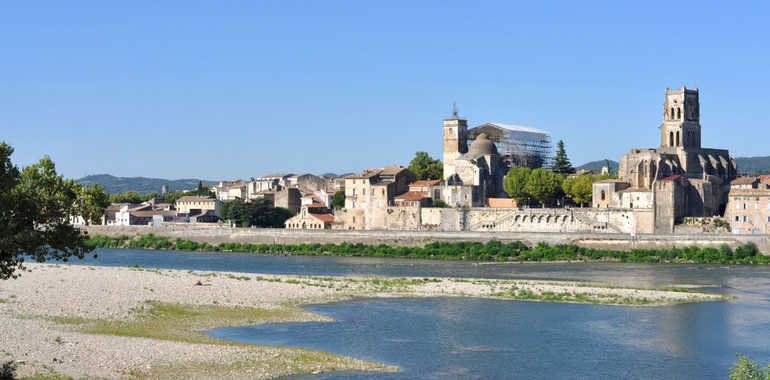
A provisional stretch of the ViaRhôna route has been signposted south from Lapalud, following the Rhône’s east bank through the county of Vaucluse. Cross the agricultural plain to the Canal de Donzère. Next, the route squeezes between the Rhône and parallel motorway, with links indicated to the medieval villages of Mondragon, Mornas and Piolenc and the town of Orange with its grand Roman remains. Fancy a dip in a lake? Try Les Girardes or Li Piboulos before continuing south along a Rhône-side greenway. End gently at the Provençal village of Caderousse, its dykes built to protect it from flooding by the tempestuous Rhône.
- Greutăţi
-
uşor
- Evaluare
-
- Ruta
-
Pont-Saint-EspritLes Pièces11,9 kmMornas12,0 kmLes Islons27,5 kmCaderousse28,7 km
- Cel mai bun sezon
-
ianfebmaraprmaiiuniulaugsepoctnovdec
- Cel mai înalt punct
- 53 m
- Destinație
-
Caderousse
- Profil de elevație
-
 © outdooractive.com
- Autor
-
Turul ViaRhôna : Lapalud / Caderousse este utilizat de outdooractive.com furnizat.
GPS Downloads


Informaţii generale
Oprire pentru băuturi răcoritoare
Cultural/Istoric
Flora
Fauna
Promițător
Mai multe tururi în regiuni
-
Gard
14
-
Rhône Lez Provence
14