


Freithofberg


Fotografii ale utilizatorilor noștri
Starting from the church square in Maria Neustift, different paths lead to the Freithofberg - extended circular hike, panoramic path or summit path.
Trail number: E31, E31a, E31b


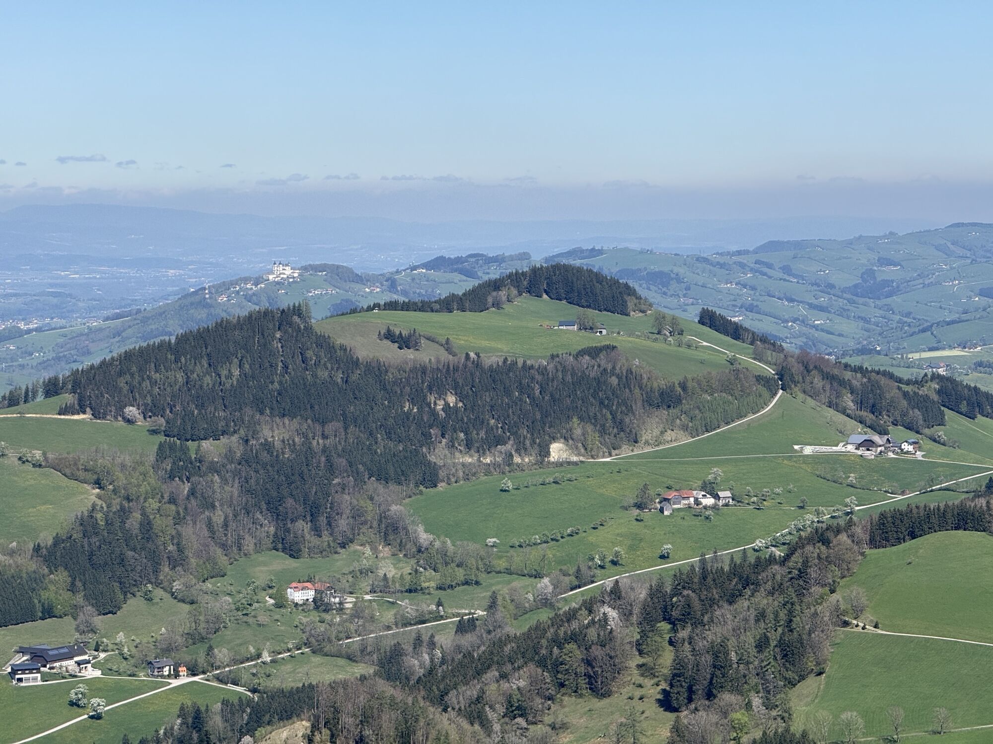
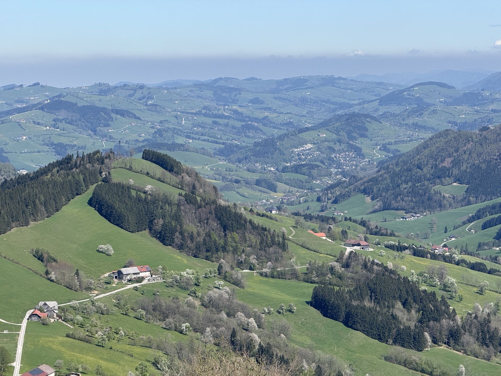
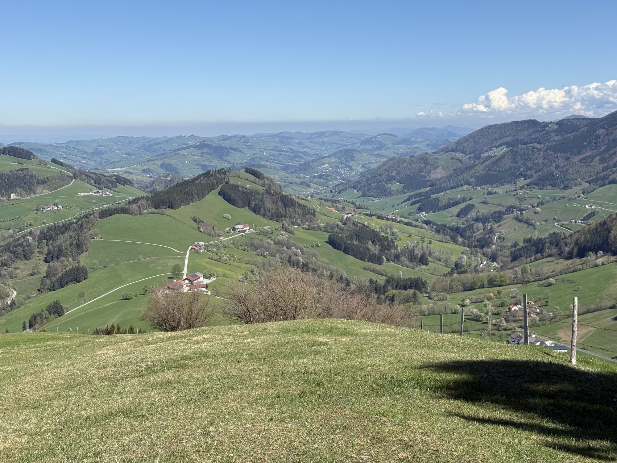
From the church square in Maria Neustift, the E31 leads up the Freithofberg. At the beginning, the hiking trail runs up the mountain on an asphalt road. It continues over a meadow ridge, then on a gravel path, over a meadow and through a short section of forest. Even during the hike and when you arrive at your destination, you are rewarded with magnificent panoramas.
Variants:
Freithofberg circular route from the church square to the Weger farmhouse, the route is on asphalt and from there the mountain is circled on the left, past the turn-off to Konradsheim, at the Moosgraben fire station. After a short stretch on the main road, you leave it on the right, walk past some farmhouses and soon have the pilgrimage church of Maria Neustift in view again. Panorama trail Freithofberg on the asphalt road to the Krendlberg farmhouse and from there on the gravel road and hiking trail to the Freithofbergalm.
Da
From Salzburg/Linz: A1 motorway exit Enns-Steyr > B115 into the Enns Valley.
From Vienna: A1 motorway exit Haag > B42 > B122 > B115 into the Enns Valley
From Passau: A8 Passau > Wels > A1 motorway exit Enns-Steyr > B115 into the Enns Valley
From Graz: A9 Pyhrnautobahn > motorway exit Klaus > Grünburg > into the Ennstal valley
The Ennstalbahn runs between Linz and Weißenbach-St. Gallen.
Details at www.ooevv.at
Railway Stations are located in Ternberg, Trattenbach, Losenstein, Reichraming, Großraming, Gaflenz, Weyer, Küpfern, Kastenreith, Kleinreifling and Weißenbach-St. Gallen.
parking in the center of the village
Tururi populare în vecinătate
-
4,7
Steinerner Jäger (1185m) und Schieferstein (1206m) ab Parkplatz Hochhabichler
mediuExcursie 4,46 km -
4,8
Ennser Hut - Almkogel (from Bamacher car park)
mediuExcursie 3,53 km -
4,7
GROSSRAMING Bamacher, Burgspitz, Almkogel, Ennshütte 20240730
mediuExcursie 10 km -
4,0
Schieferstein und Steinerner Jäger von Reichraming, Oberösterreich
mediuExcursie 3,82 km -
4,0
Ennser Hütte, Stallburgalm, Burgspitz, Almkogel
mediuExcursie 11,6 km -
3,8
Lindaumauer (1103 m)
Excursie 3,40 km -
4,6
Steinerner Jäger (1185m) und Schieferstein (1206m) ab Parkplatz Hack
greleExcursie 8,58 km -
3,0
Ennser Hut - Almkogel (from Großraming train station)
mediuExcursie 9,33 km -
4,6
Burgspitz, Almkogel, Wieser, Langlackenmauer und zurück
mediuExcursie 13,5 km -
5,0
Schieferstein (from Losenstein)
greleExcursie 13,8 km
Drumeții și urmărire


Nu ratați ofertele și inspirația pentru următoarea dvs. vacanță
Adresa dvs. de e-mail a fost adăugat la lista de corespondență.