

© Sulzbacher

© Sulzbacher
Informaţii pentru tur
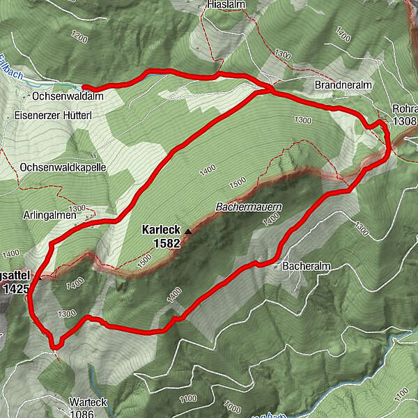
8,69km
1.058
- 1.413m
395hm
417hm
03:30h
- Scurtă descriere
-
Schwierigkeitsgrad: rot
- Greutăţi
-
mediu
- Evaluare
-
- Punct de pornire
-
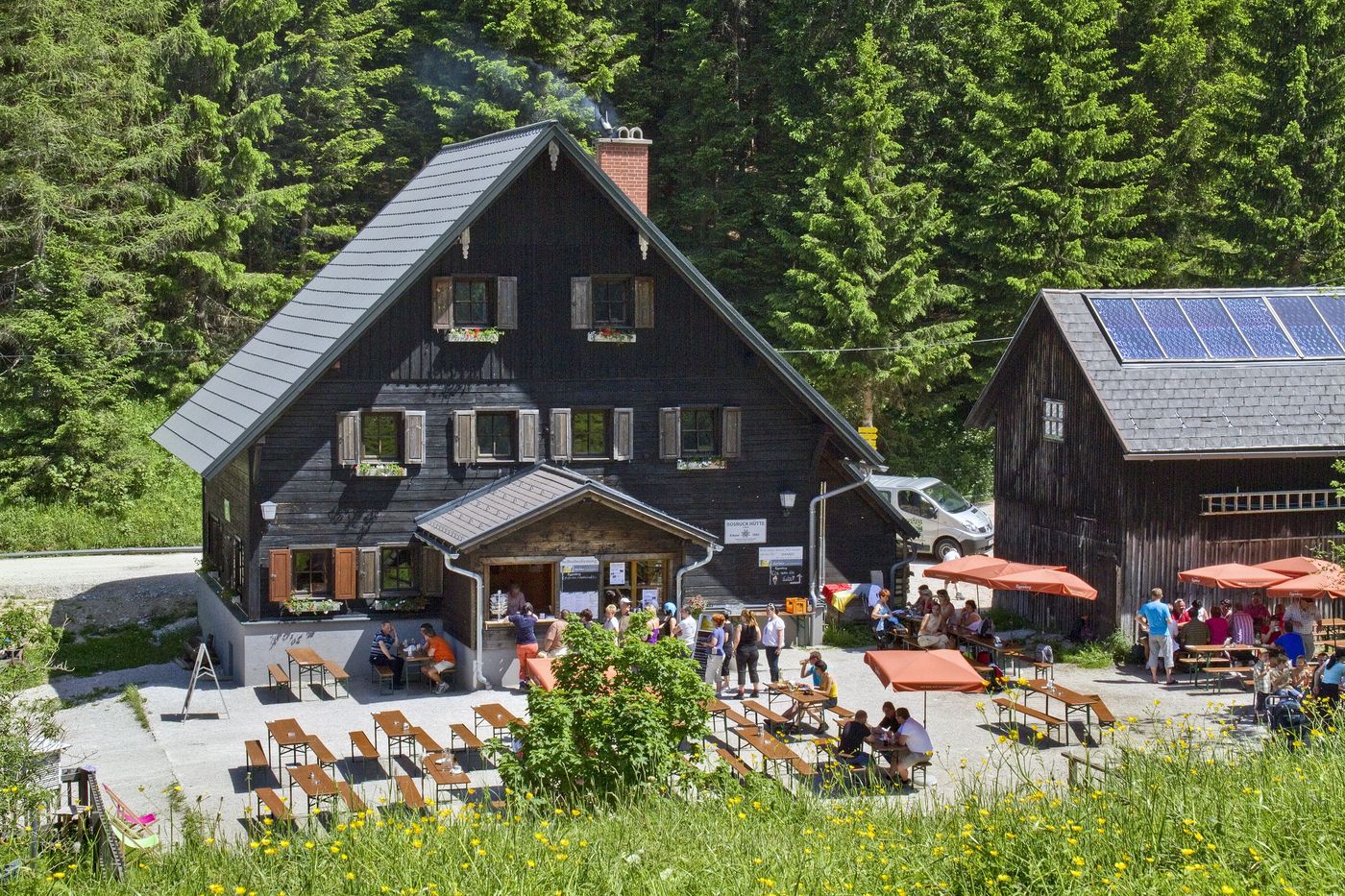
Bosruckhütte
- Ruta
-
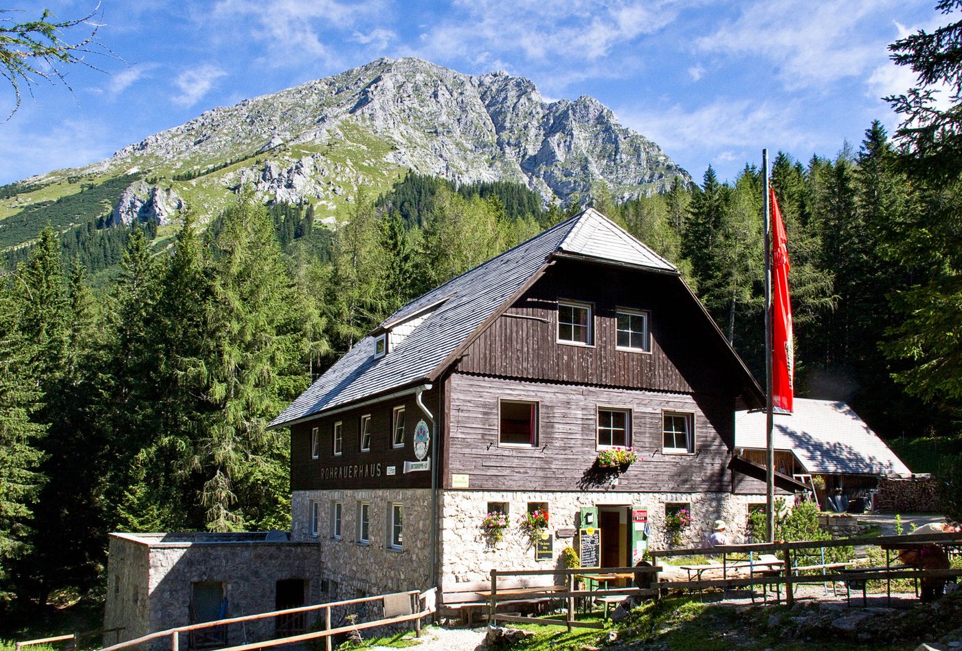
Arlingalm2,8 kmArlingsattel (1.425 m)3,2 kmBacheralm5,4 kmPyhrgasgatterl (1.308 m)6,5 kmRohrauer Haus6,6 kmBosruckhütte8,7 km
- Cel mai bun sezon
-
ianfebmaraprmaiiuniulaugsepoctnovdec
- Cel mai înalt punct
- 1.413 m
- Odihnă/Retragere
-
Rohrauerhaus, Bosruckhütte
- Material pentru hartă
-
Wanderkarte Pyhrn-Priel erhätlich in allen Pyhrn-Priel Tourismusbüros!
GPS Downloads


Condiții de traseu
Asfalt
Pietriş/prundiş/grohotiş
Livadă/pajişte
Pădure
Stâncă
Expus
Mai multe tururi în regiuni
-
Gesäuse
2222
-
Steyr und die Nationalpark Region
1370
-
Ardning
355


")


