Informaţii pentru tur
16,3km
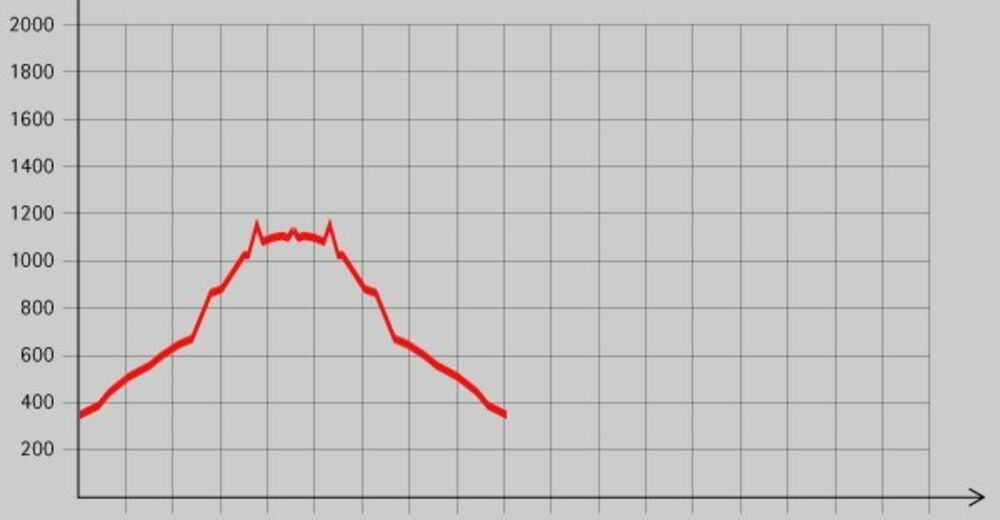
372
- 1.159m
866hm
07:00h
- Scurtă descriere
-
Schöne Wanderung mit einer Einkehrmöglichkeit am Ziel.
- Evaluare
-
- Punct de pornire
-
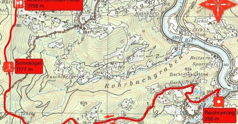
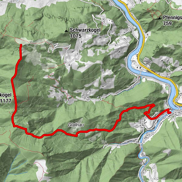
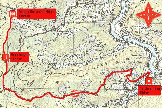
Ortsplatz von Reichraming (356 m)
- Ruta
-
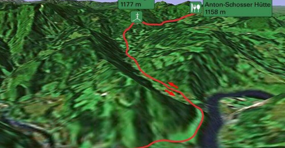
ReichramingSonnkogel (1.177 m)6,8 km
- Cel mai înalt punct
- 1.159 m
- Odihnă/Retragere
-
Anton-Schosserhütte
- Material pentru hartă


GPS Downloads


Condiții de traseu
Asfalt
Pietriş/prundiş/grohotiş
Livadă/pajişte
Pădure
Stâncă
Expus
Mai multe tururi în regiuni
-
Traunviertel
1940
-
Steyr und die Nationalpark Region
1371
-
Losenstein
397