© WGD Donau Oberösterreich Tourismus GmbH/Andreas Kranzmayr - Andreas Kranzmayr
© WGD Donau Oberösterreich Tourismus GmbH/Andreas Kranzmayr - Andreas Kranzmayr

- Scurtă descriere
-
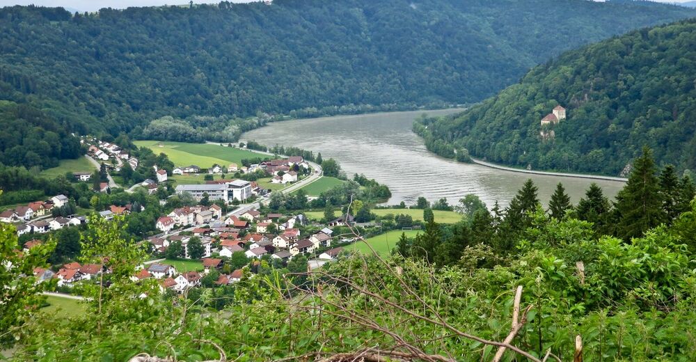
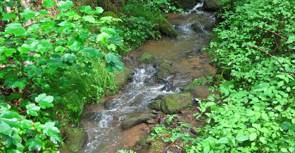
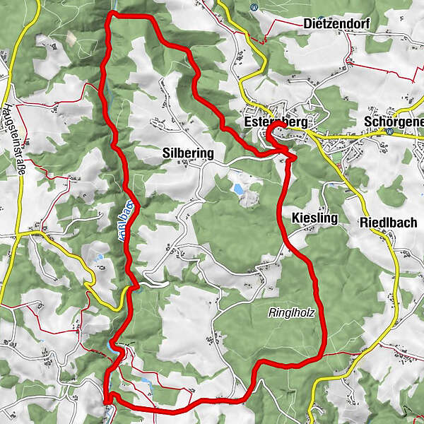
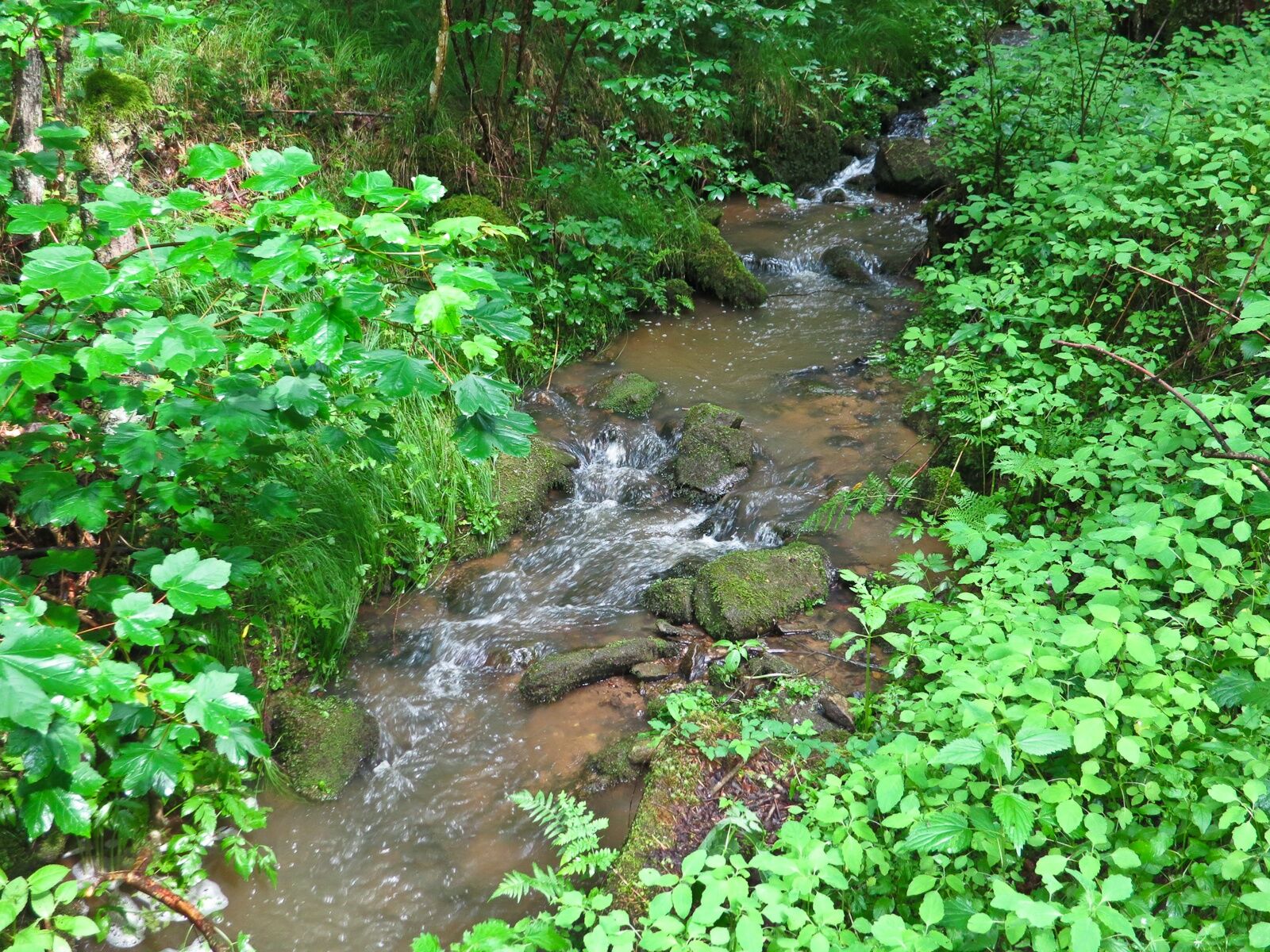
Wanklmoar Sag and Kößlbach Brook
- Greutăţi
-
uşor
- Evaluare
-
- Ruta
-
Pfarrkirche Esternberg0,0 kmEsternberg0,1 kmWirt'z Kneiding8,8 kmDorfkirche Kneiding8,8 kmKneiding9,2 kmRinglholz10,8 kmKiesling14,0 kmEsternberg15,7 kmPfarrkirche Esternberg15,7 km
- Cel mai bun sezon
-
ianfebmaraprmaiiuniulaugsepoctnovdec
- Cel mai înalt punct
- 550 m
- Destinație
-
Gemeindeamt Esternberg
- Profil de elevație
-


- Autor
-
Turul Esternberg: Kößlbach Loop Tour este utilizat de outdooractive.com furnizat.
GPS Downloads


Informaţii generale
Oprire pentru băuturi răcoritoare
Flora
Mai multe tururi în regiuni
-
Innviertel
797
-
Passauer Land
161
-
Esternberg
73