© Tourismusverein Andorf

© Tourismusverein Andorf

© Tourismusverein Andorf

© Tourismusverein Andorf / Netpixel - Netpixel

- Scurtă descriere
-
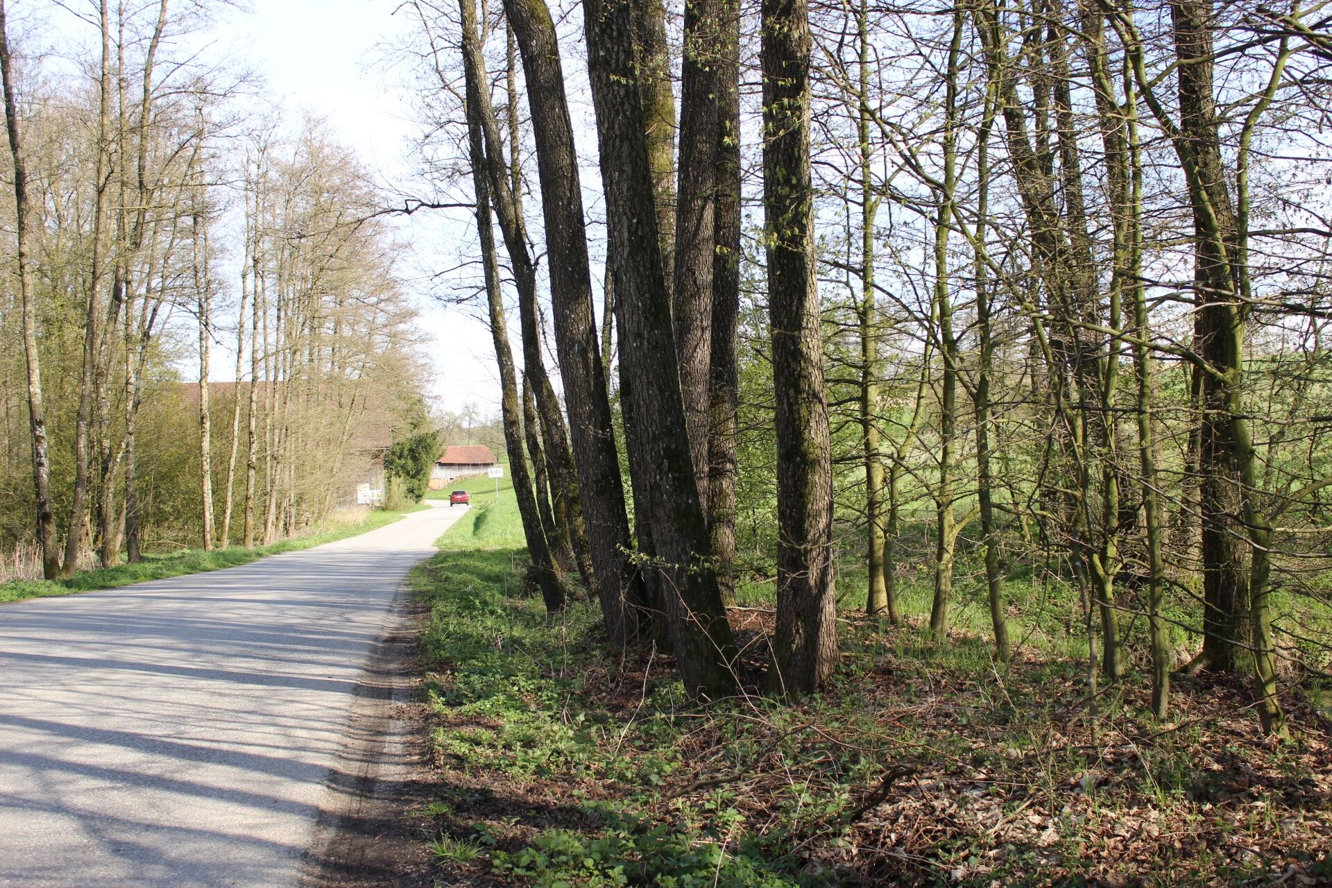
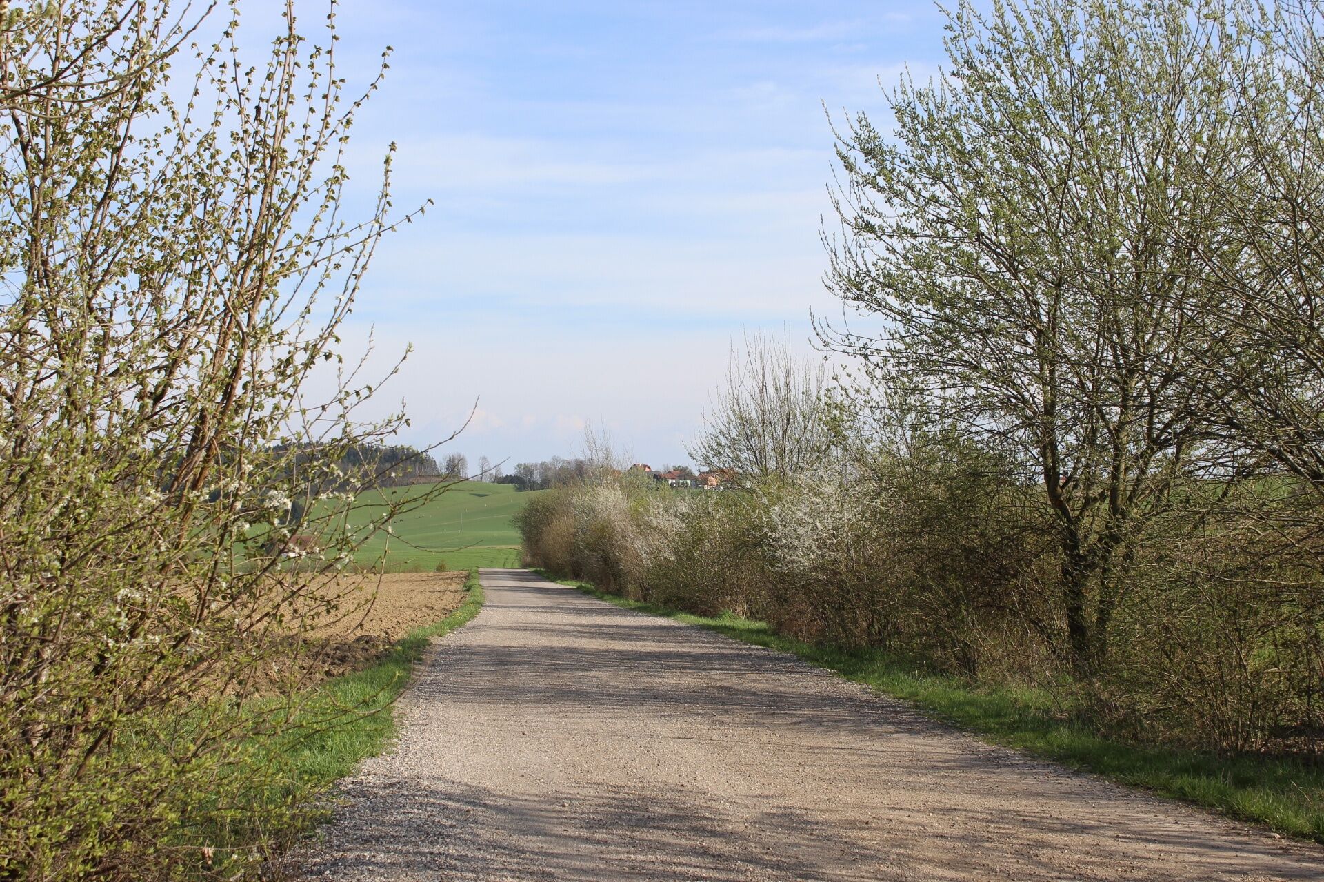
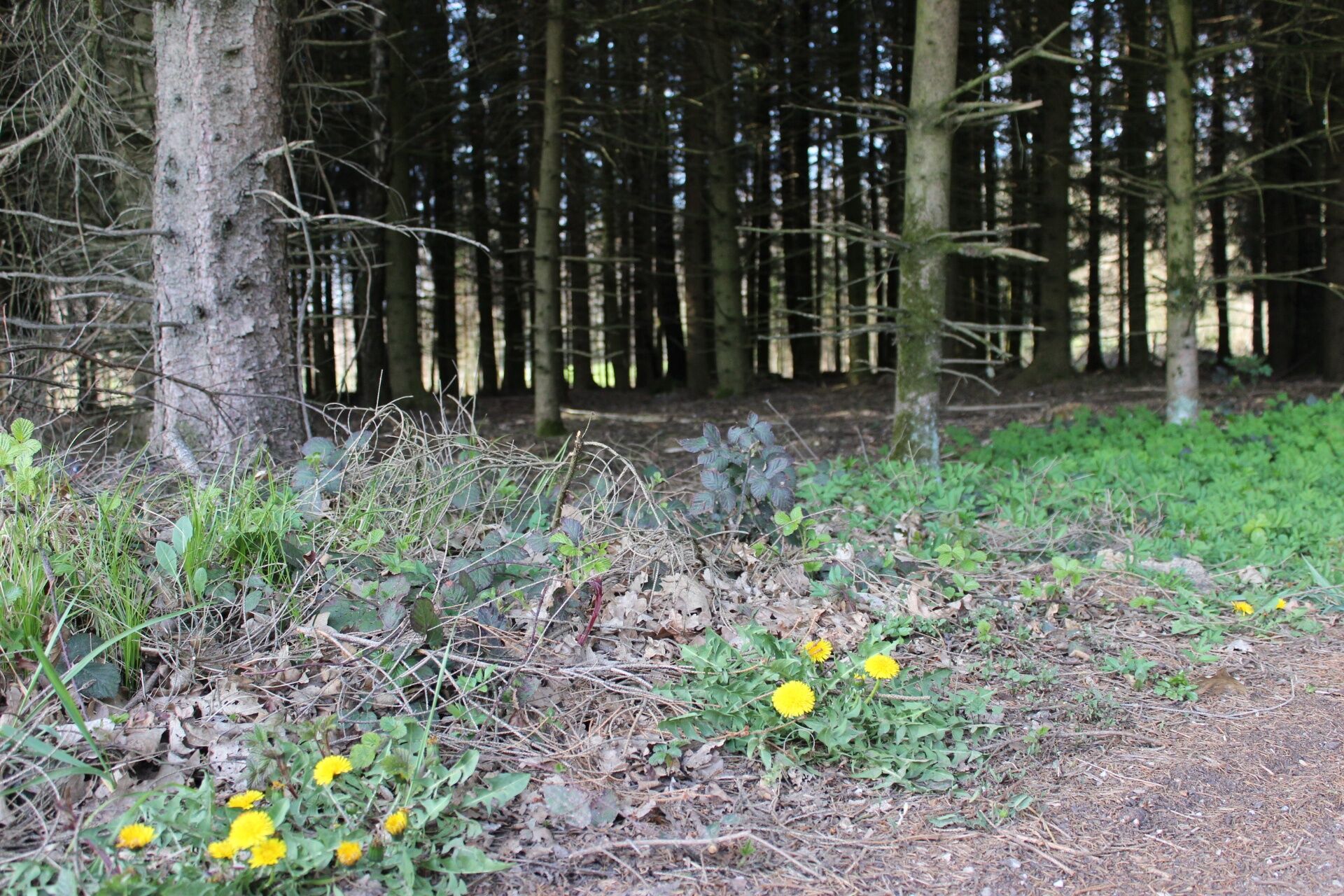
This hike will take you to the likely highest point of Andorf.
- Ruta
-
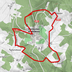
Pfarrkirche Andorf0,2 kmLandhotel & Gasthof Bauböck0,2 kmAndorf (346 m)0,3 kmGroßschörgern1,9 kmKleinschörgern2,2 kmKleinpichl2,5 kmGroßpichl3,1 kmNiederleiten3,4 kmAutzing3,9 kmSchulleredt4,1 kmRackersedt5,8 kmOberndorf8,9 kmLauterbrunn9,1 kmEdt beim Pfarrhof9,3 kmWinertsham10,5 kmAndorf (346 m)12,1 km
- Cel mai bun sezon
-
ianfebmaraprmaiiuniulaugsepoctnovdec
- Cel mai înalt punct
- 432 m
- Destinație
-
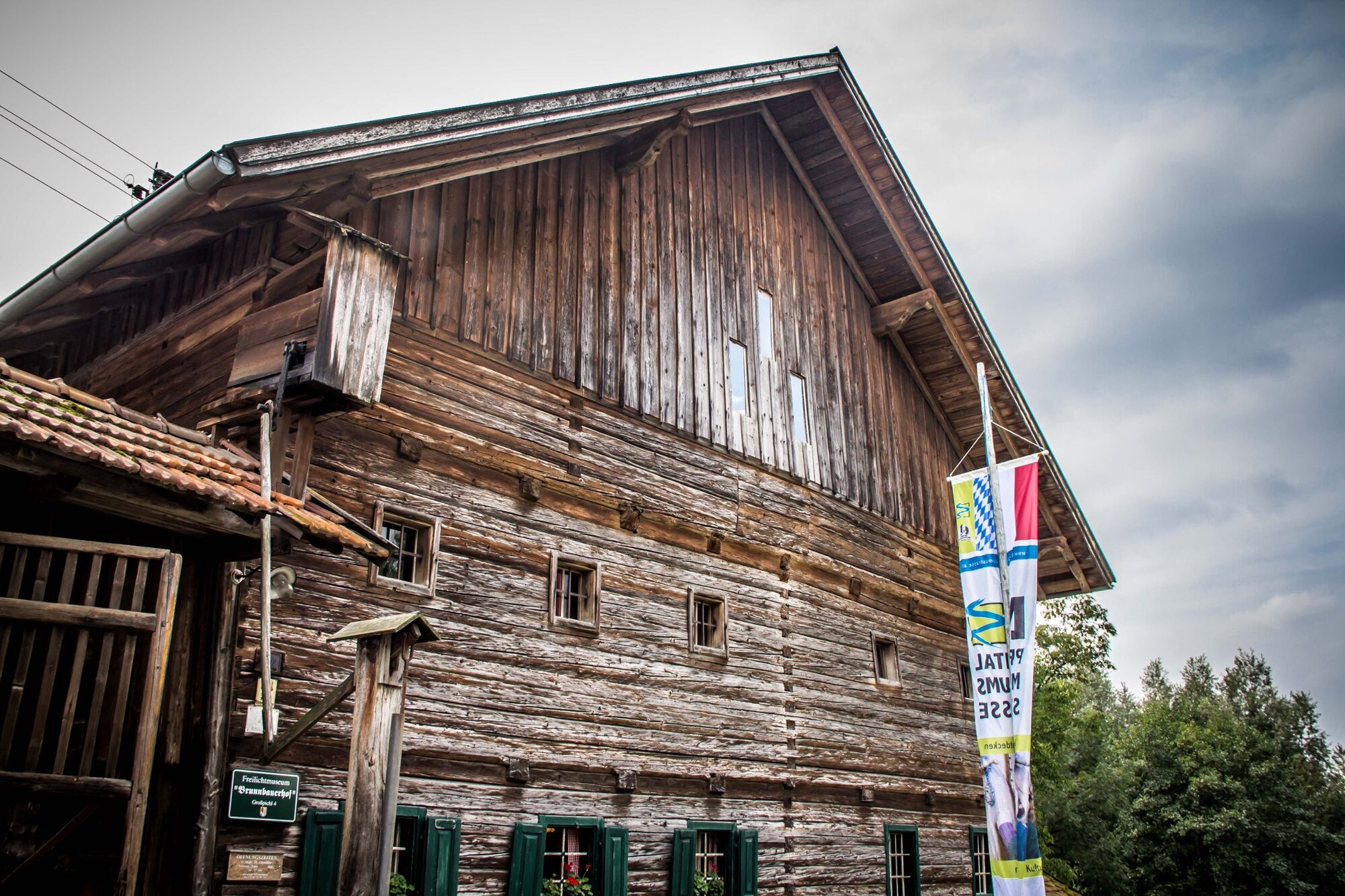
VVA-Gelände (Folk Festival and Beautification Grounds)
- Profil de elevație
-

- Autor
-
Turul Haula-Schulleredt-circuit - W3 este utilizat de outdooractive.com furnizat.
GPS Downloads


Informaţii generale
Oprire pentru băuturi răcoritoare
Cultural/Istoric
Promițător
Mai multe tururi în regiuni
-
Innviertel
797
-
s'Innviertel
341
-
Andorf
43