© Verein Mühlviertler Granitland


- Scurtă descriere
-
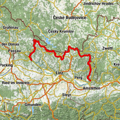
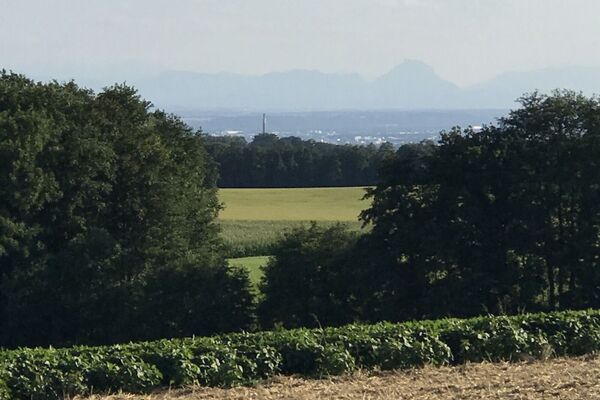
This route leads from the lowest to the highest point of the Granite Land South - from the Danube to the Gis.
- Evaluare
-
- Ruta
-
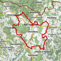
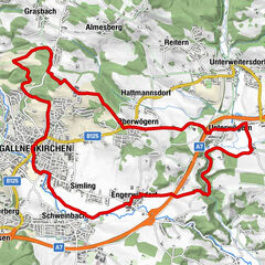
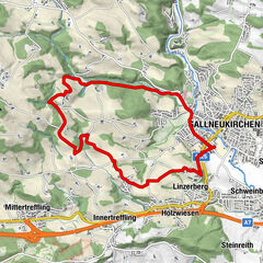
Ottensheim0,3 kmAmberg5,3 kmGramastetten8,2 kmGasthaus zur Gis15,9 kmLichtenberg19,6 kmLandgasthaus Holzpoldl20,7 kmNeulichtenberg20,7 kmKoglerauer Spitz (685 m)24,0 kmKöglerhof24,4 kmDürnberg27,9 kmGuckerstein28,2 kmGasthaus Dürnberg30,8 km
- Cel mai bun sezon
-
ianfebmaraprmaiiuniulaugsepoctnovdec
- Cel mai înalt punct
- 884 m
- Profil de elevație
-


- Autor
-
Turul MTB - Danube GIS circuit este utilizat de outdooractive.com furnizat.
GPS Downloads


Informaţii generale
Oprire pentru băuturi răcoritoare
Promițător
Mai multe tururi în regiuni
-
Mühlviertel
194
-
Linz & Region Linz
95
-
Eidenberg
39