© Unbekannt - Malika Turin / Corrèze Tourisme

- Scurtă descriere
-
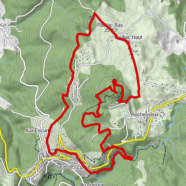
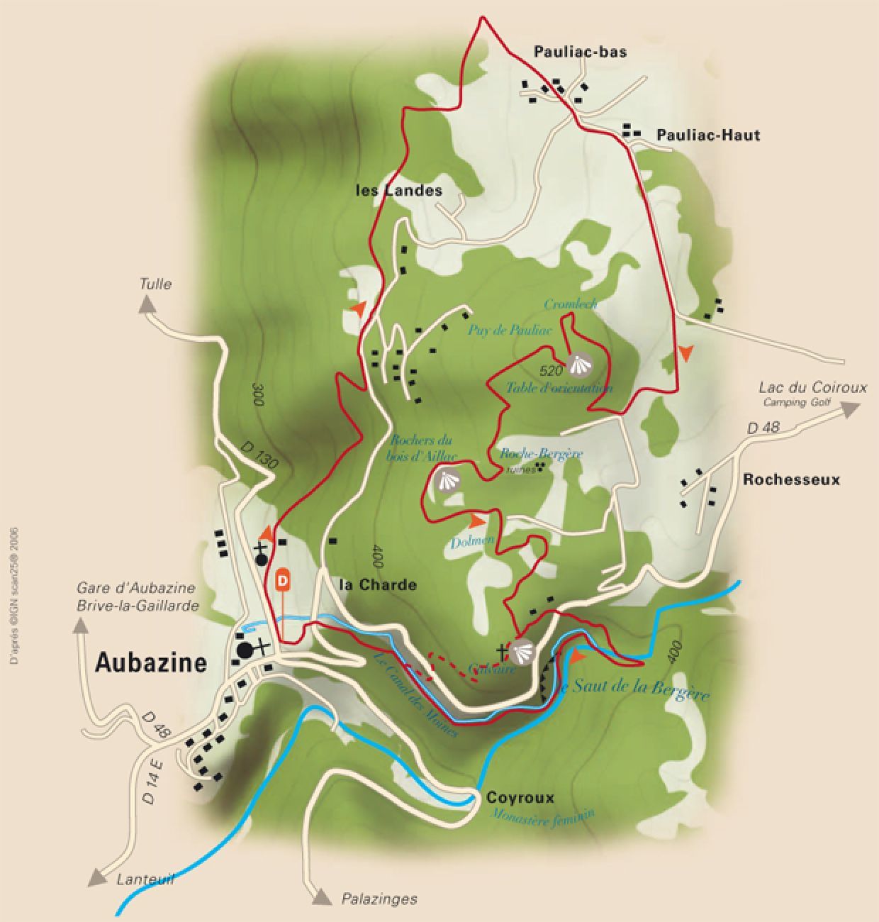
This circuit takes you to the heights of the Puy de Pauliac where an orientation table is installed. You can also discover a dolmen and a cromlech (circular alignment of menhirs).
- Greutăţi
-
mediu
- Evaluare
-
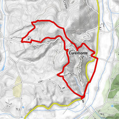
- Ruta
-
AubazineMoniales de la Théophanie0,2 kmPauliac Bas2,8 kmPauliac Haut3,2 kmLe saut de la Bergère7,3 kmAubazine9,2 km
- Cel mai bun sezon
-
ianfebmaraprmaiiuniulaugsepoctnovdec
- Cel mai înalt punct
- 513 m
- Destinație
-
Voie Communale du Huit Mai 1945 - Aubazine
- Profil de elevație
-
 © outdooractive.com

-

-
AutorTurul From Puy to the Canal este utilizat de outdooractive.com furnizat.
GPS Downloads


Informaţii generale
Climatul de vindecare
Cultural/Istoric
Flora
Promițător