

© Unbekannt - JDamase

- Scurtă descriere
-
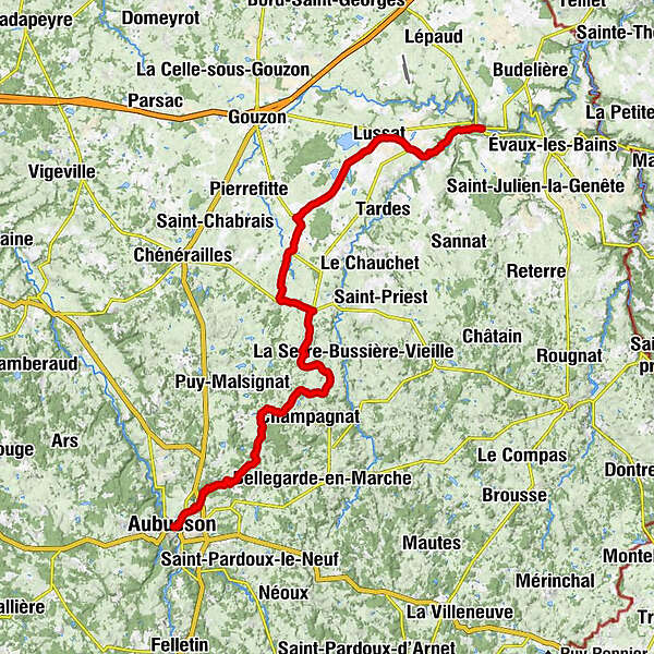
The "tour de Creuse" by bike is 100% discovery and the assurance of not being bored on a varied itinerary, adapted to all types of practitioners, families or experienced sportsmen. There is something for everyone!
- Greutăţi
-
uşor
- Evaluare
-
- Ruta
-
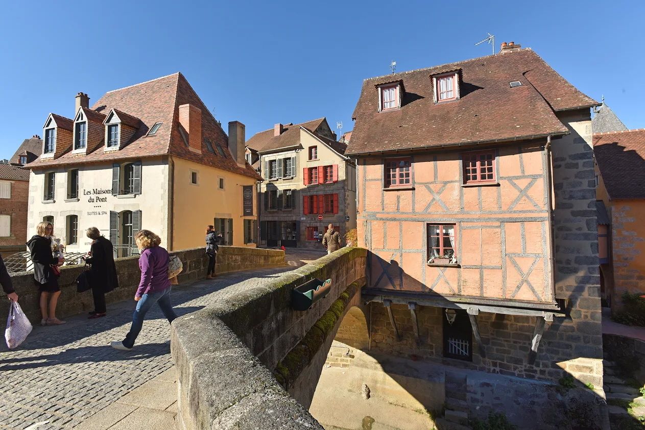
Aubusson0,2 kmÉglise Sainte-Croix0,2 kmLes Combadeaux2,1 kmLe Fôt3,3 kmLes Combas4,2 kmLes Clauzets4,7 kmSaint-Amand5,1 kmPoux6,4 kmLe Courtioux6,5 kmLa Croix de la Fortune7,8 kmLa Chaussade8,1 kmLa Fayolle9,4 kmSeauve12,3 kmLa Ribière13,2 kmFrettel13,7 kmLe Foussat14,3 kmChabredier15,3 kmLes Pouges16,5 kmChez Varoche17,2 kmChez Baboux17,8 kmSaint-Domet18,4 kmLe Prieuré19,0 kmLe Montgaudon19,7 kmLe Chez20,5 kmChapelle de la Croix-au-Bost20,7 kmLa Croix au Bost20,8 kmLes Chapelettes21,2 kmChez Bujard21,7 kmLa Croix de l'Arbre22,0 kmFontarimaille22,7 kmPeyrat-la-Nonière26,9 kmLa Courcelle30,1 kmSaint-Julien-le-Châtel30,9 kmÉglise Saint-Julien-de-Brioude31,0 kmLes Croix31,7 kmÉglise Saint-Loup de Troyes33,0 kmSaint-Loup33,3 kmLe Mas d'En-Haut40,7 kmÉglise Saint-Martin41,0 kmLussat41,1 kmBar des Landes41,1 kmRiérette43,7 kmBadassat44,7 kmChambon-sur-Voueize49,1 kmAu bistrot d'autrefois49,1 km
- Cel mai bun sezon
-
ianfebmaraprmaiiuniulaugsepoctnovdec
- Cel mai înalt punct
- 601 m
- Destinație
-
Chambon sur Voueize
- Profil de elevație
-
 © outdooractive.com
-

-
AutorTurul Tour de Creuse : Aubusson > Chambon sur Voueize este utilizat de outdooractive.com furnizat.
GPS Downloads


Informaţii generale
Oprire pentru băuturi răcoritoare
Cultural/Istoric
Mai multe tururi în regiuni
-
Montluçon
11