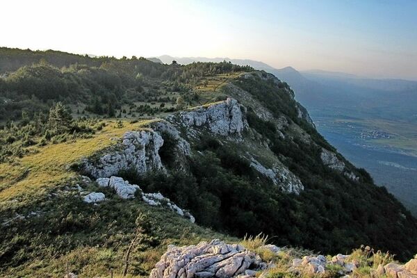
© Terra Dinarica - Elma Okić

- Scurtă descriere
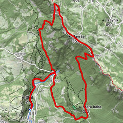
- Ruta
-
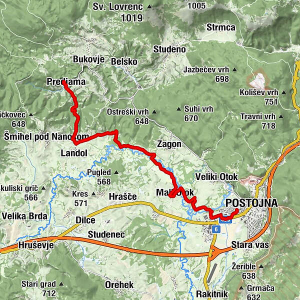
Predjamska gostilnica "Predjamka"0,0 kmGostilna Požar0,0 kmŽalostna Mati Božja0,1 kmPredjama0,2 kmLandol2,8 kmMali Otok8,7 kmKazarje11,4 kmAdelsberg12,6 km
- Cel mai înalt punct
- 555 m
- Destinație
-
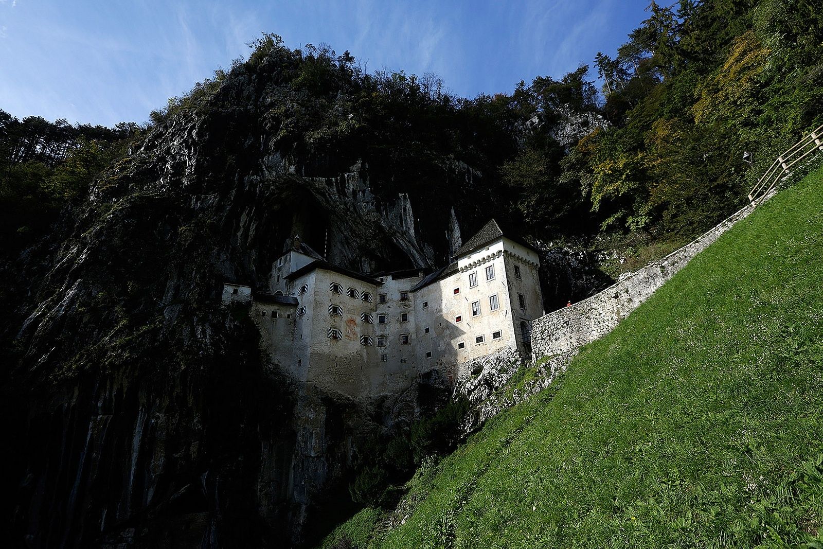
Postojna
- Profil de elevație
-
 © outdooractive.com
-

-
AutorTurul Predjama - Postojna (avoiding the busy road route) este utilizat de outdooractive.com furnizat.
GPS Downloads


Mai multe tururi în regiuni
-
Notranjsko-Kraška
68
-
Postojna
24