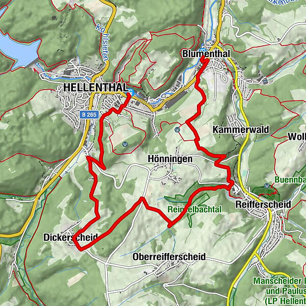
GPS-Tour: Von Blumenthal nach Hellenthal: Entspannte Wanderroute


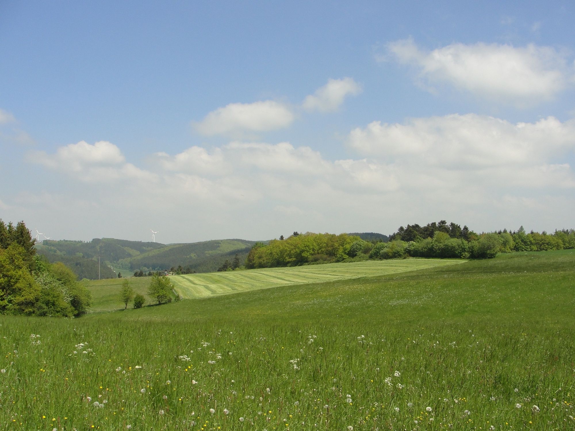
© Kreis Euskirchen - Sieglinde Hoffmann, NATURAKTIVERLEBEN

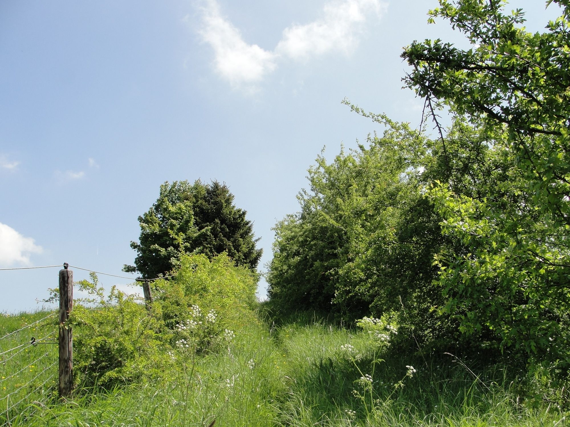
© Kreis Euskirchen - Sieglinde Hoffmann, NATURAKTIVERLEBEN

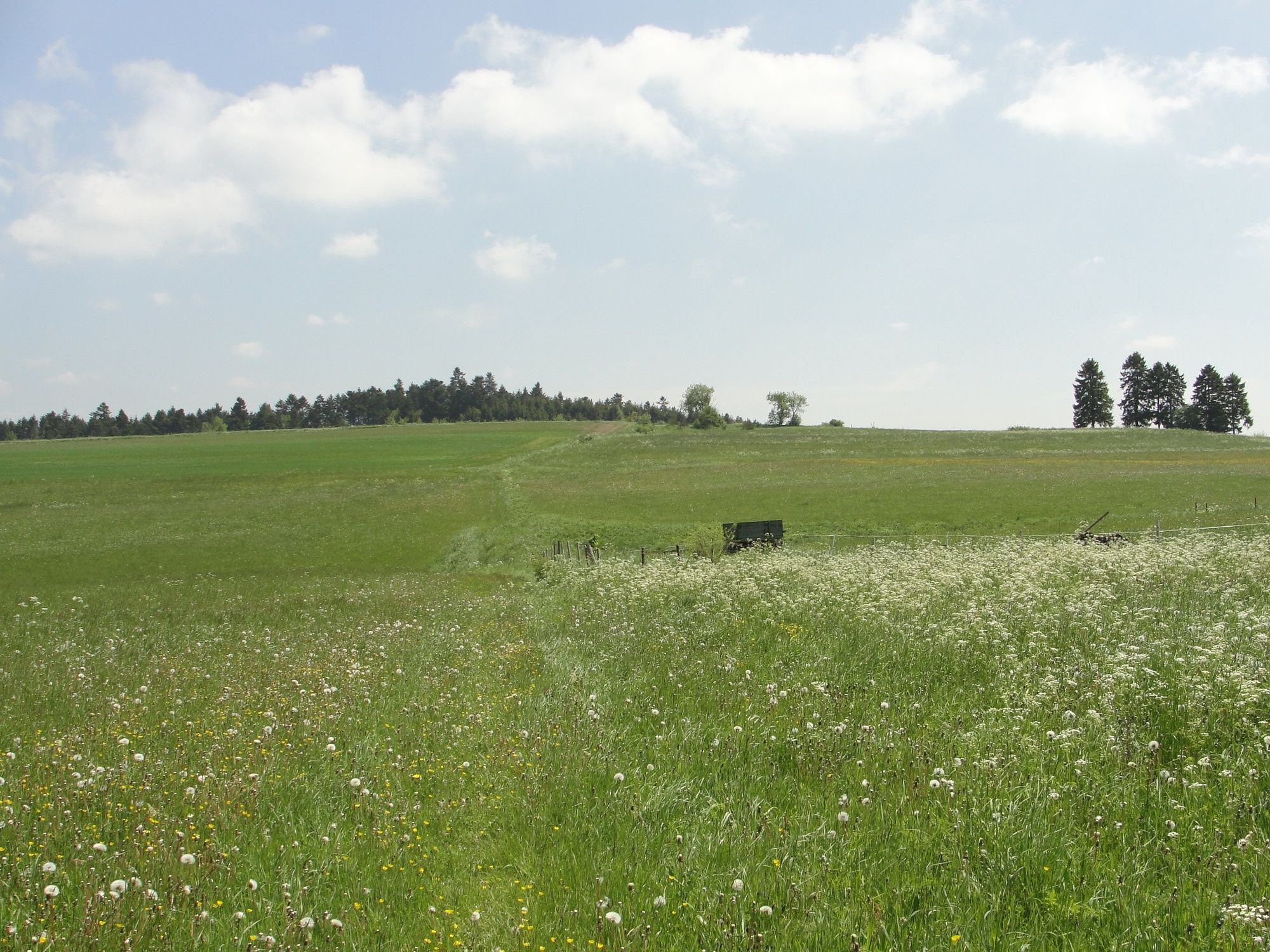
© Kreis Euskirchen - Sieglinde Hoffmann, NATURAKTIVERLEBEN

© Kreis Euskirchen - Sieglinde Hoffmann, NATURAKTIVERLEBEN

© Kreis Euskirchen - Sieglinde Hoffmann, NATURAKTIVERLEBEN

© Kreis Euskirchen - Sieglinde Hoffmann, NATURAKTIVERLEBEN

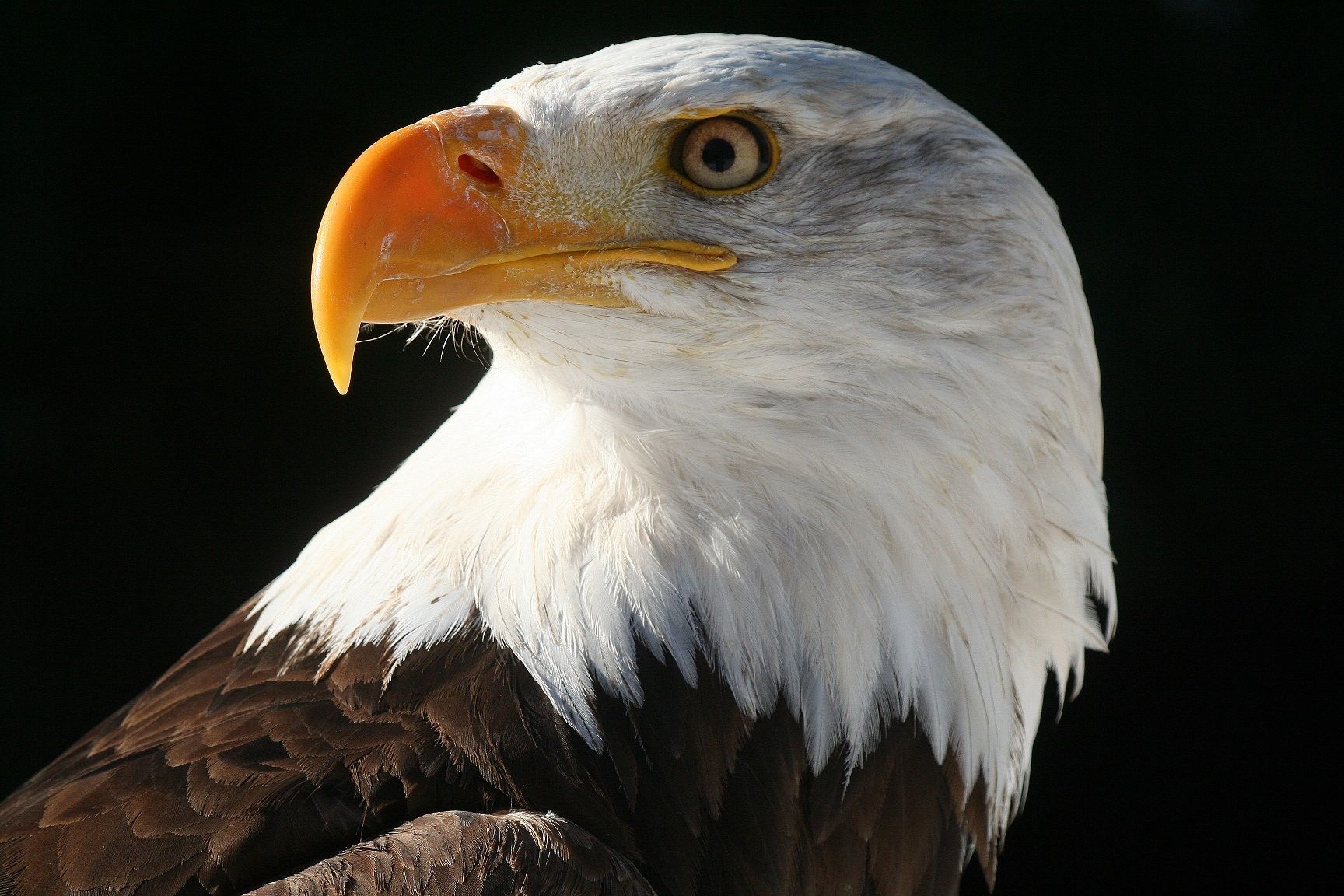
© Wildgehege-Greifvogelstation Hellenthal

© Wildgehege-Greifvogelstation Hellenthal

© Eifel Tourismus GmbH - C. Franz

© Kreis Euskirchen - Sieglinde Hoffmann, NATURAKTIVERLEBEN

- Scurtă descriere
-
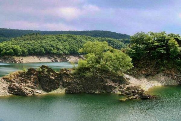
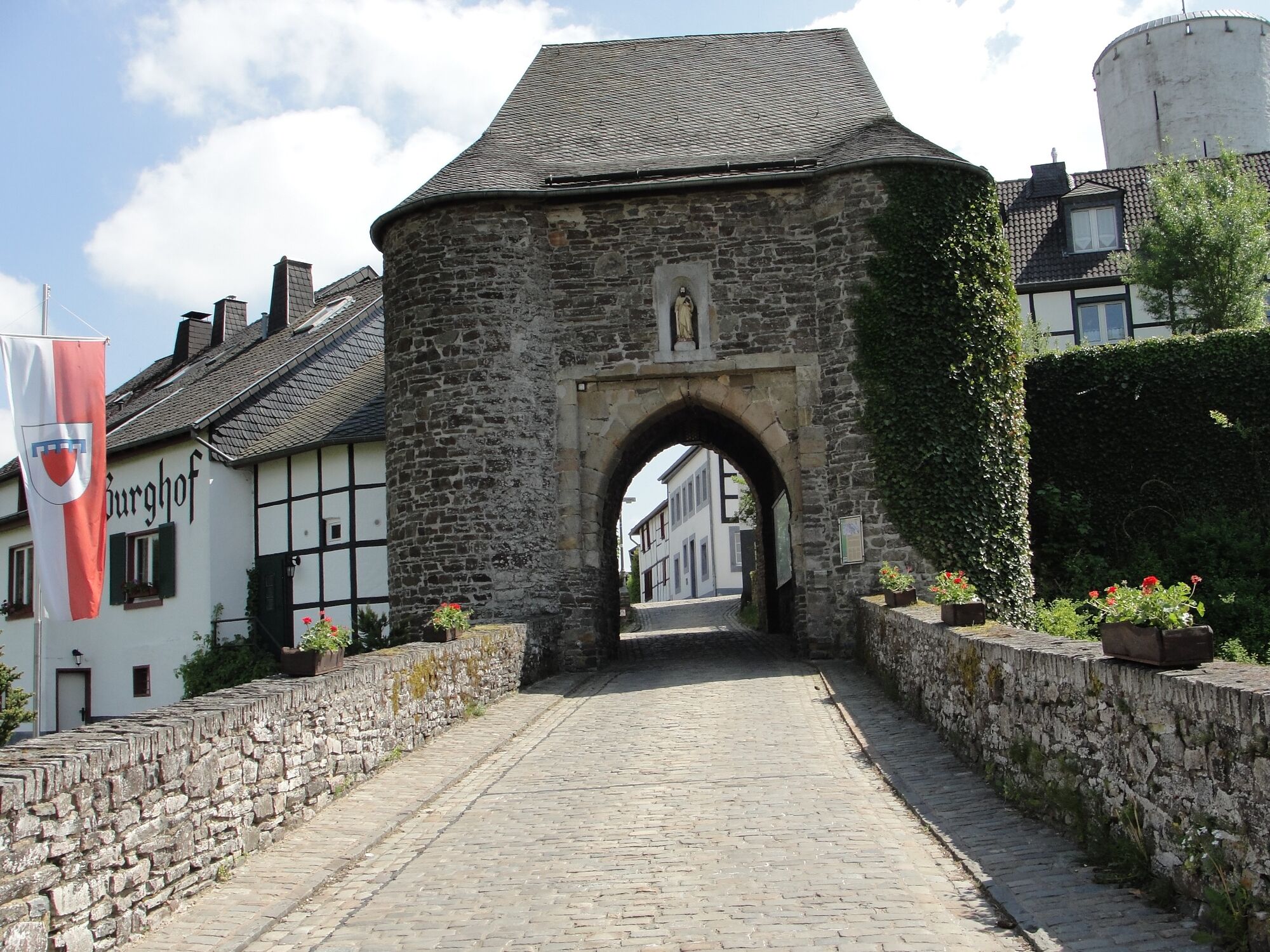
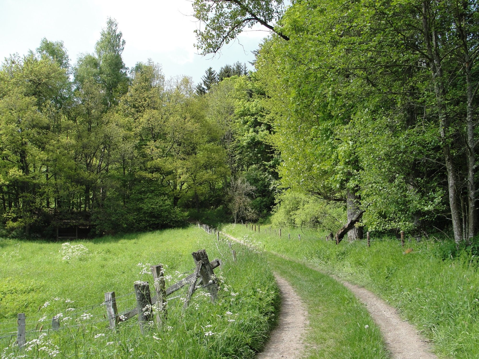
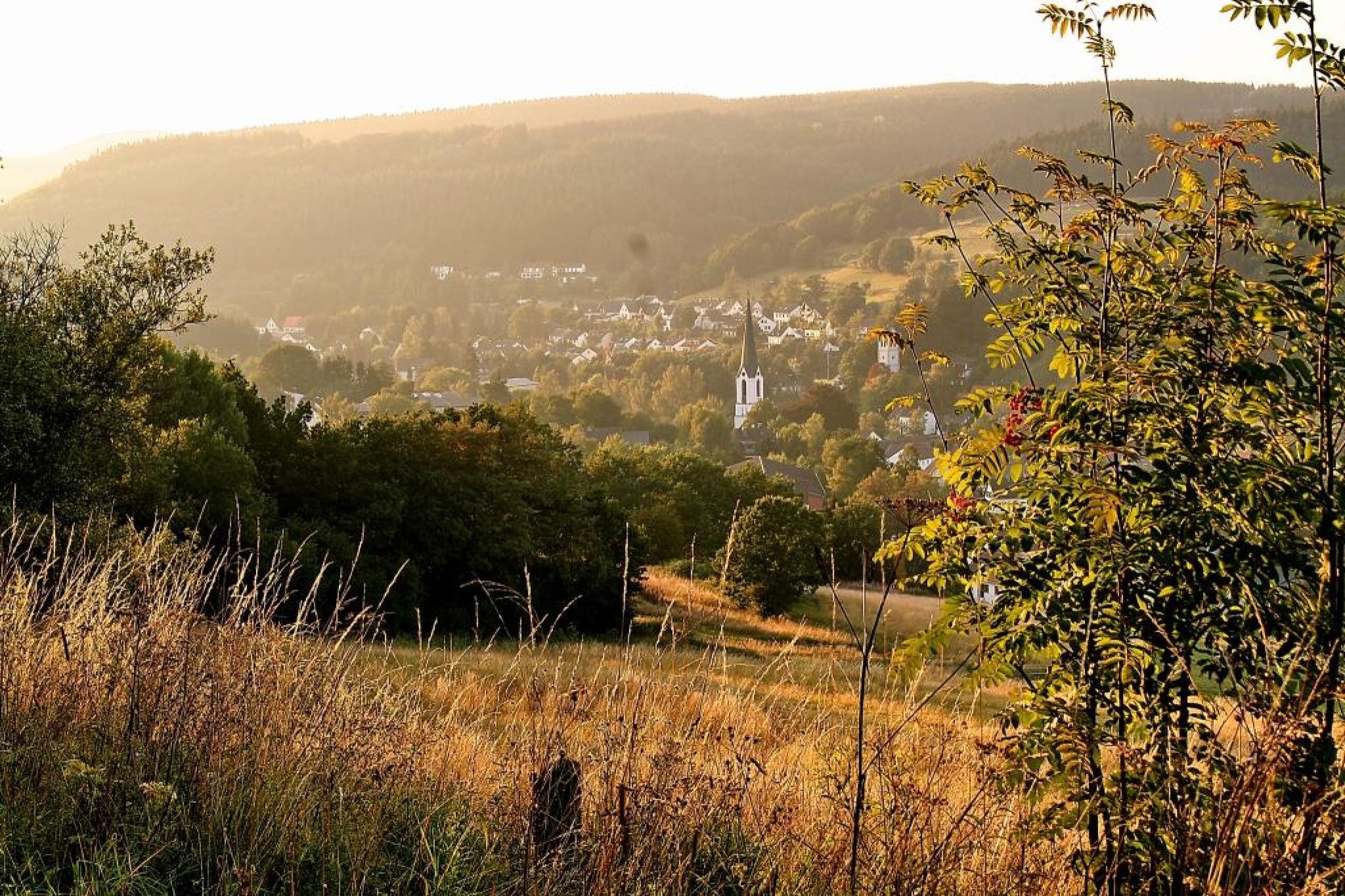
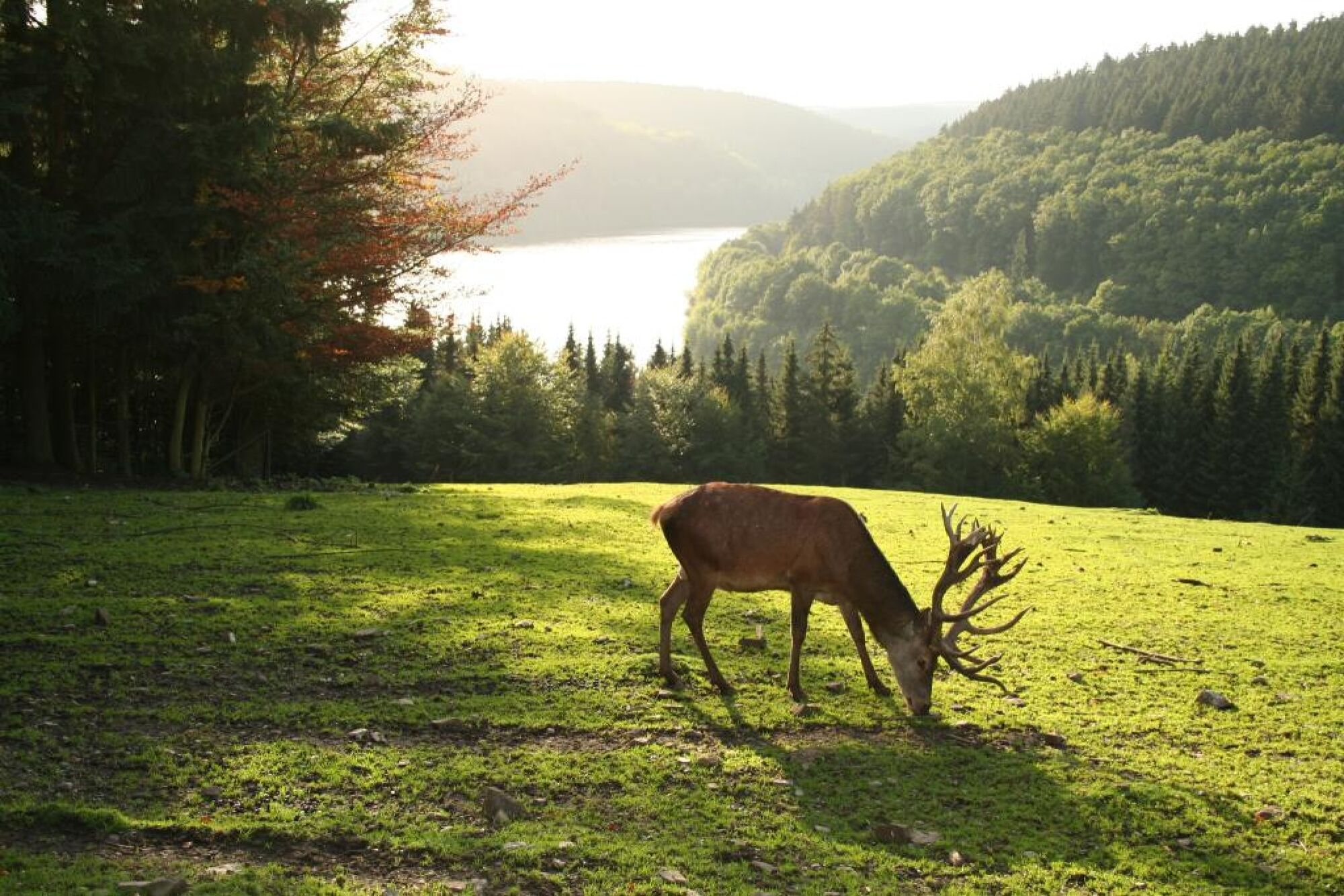
Diese kurze Tour führt aus dem Oleftal über die romantische Burgenroute. Ehe wir bei herrlicher Sicht abwärts wandern, und schließlich durch den kühlen Wald nach Hellenthal kommen.
- Greutăţi
-
uşor
- Evaluare
-
- Ruta
-
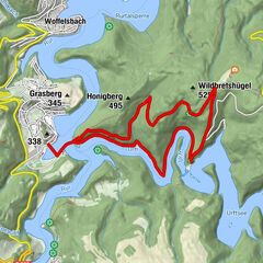
BlumenthalKammerwald2,3 kmDickerscheid6,8 kmHellenthal9,7 kmHellenthal10,4 km
- Cel mai bun sezon
-
ianfebmaraprmaiiuniulaugsepoctnovdec
- Cel mai înalt punct
- 577 m
- Destinație
-
Bahnhof Hellenthal
- Profil de elevație
-
 © outdooractive.com

- Autor
-
Turul GPS-Tour: Von Blumenthal nach Hellenthal: Entspannte Wanderroute este utilizat de outdooractive.com furnizat.
GPS Downloads


Informaţii generale
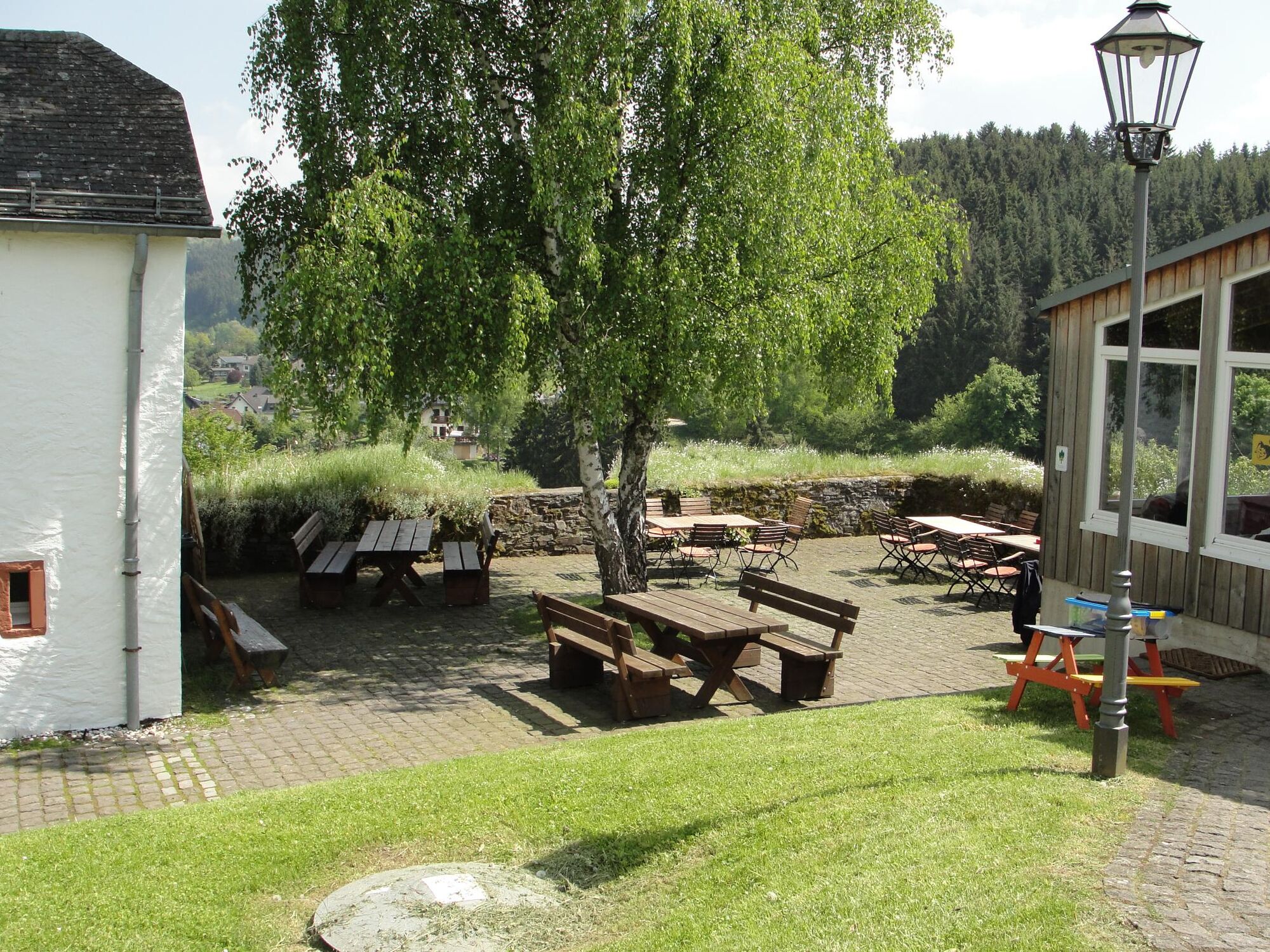
Oprire pentru băuturi răcoritoare
Cultural/Istoric
Promițător
Mai multe tururi în regiuni
-
Eifel & Aachen
1426
-
Nordeifel
836
-
Hellenthal
262