Informaţii pentru tur
5,7km
267
- 365m
69hm
71hm
01:35h

- Scurtă descriere
-
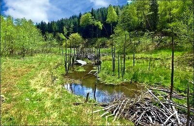
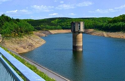
Bibergebiet im Hürtgenwald
- Greutăţi
-
uşor
- Evaluare
-
- Cel mai bun sezon
-
ianfebmaraprmaiiuniulaugsepoctnovdec
- Cel mai înalt punct
- 365 m
- Material pentru hartă
-
Wanderkarte Rureifel

- Sursă
- Wandergebiet Rureifel, Nationalpark Eifel, Hohes Venn
GPS Downloads
Condiții de traseu
Asfalt
Pietriş/prundiş/grohotiş
Livadă/pajişte
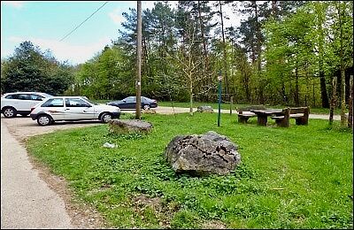
Pădure
Stâncă
Expus
Mai multe tururi în regiuni
-
Köln & Rhein-Erft-Kreis
939
-
Nordeifel
835
-
Düren
99