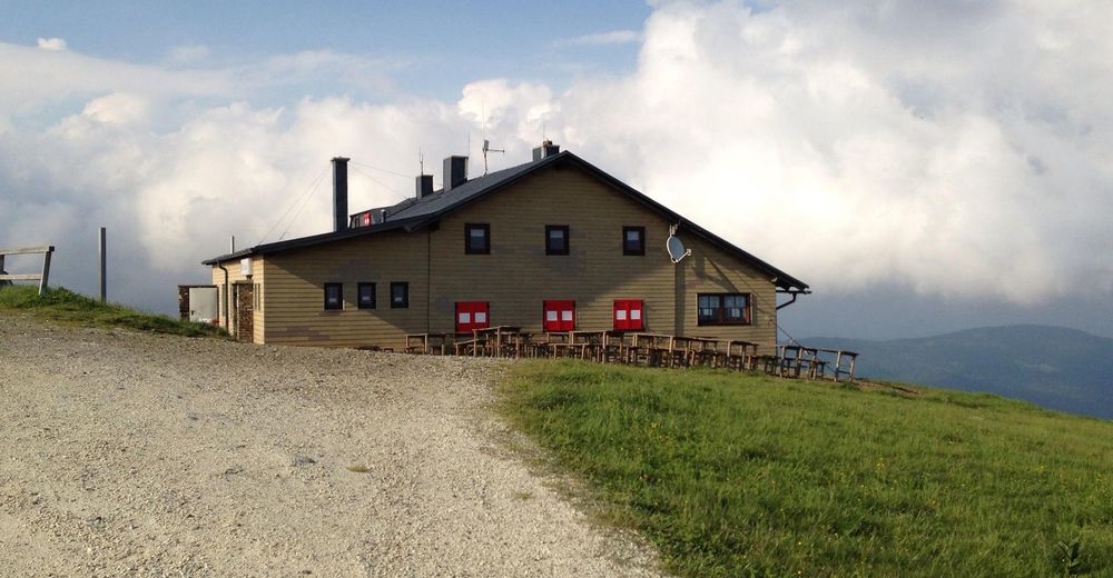
© Unbekannt - Veronika Marx, Pächterin Wetterkoglerhaus
- Scurtă descriere
-
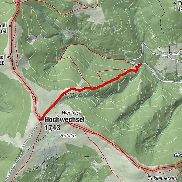
The shortest way to the Wetterkogelhaus leads from the biotope in Mariensee, past the Marienseer Schwaig inn, to the Hochwechsel. Approaching Mariensee by car is advisable!
- Greutăţi
-
mediu
- Evaluare
-
- Ruta
-
Marienseer Schwaig 1478 m1,9 kmWetterkoglerhaus3,3 kmHochwechsel (1.743 m)3,3 km
- Cel mai bun sezon
-
ianfebmaraprmaiiuniulaugsepoctnovdec
- Cel mai înalt punct
- 1.733 m
- Destinație
-
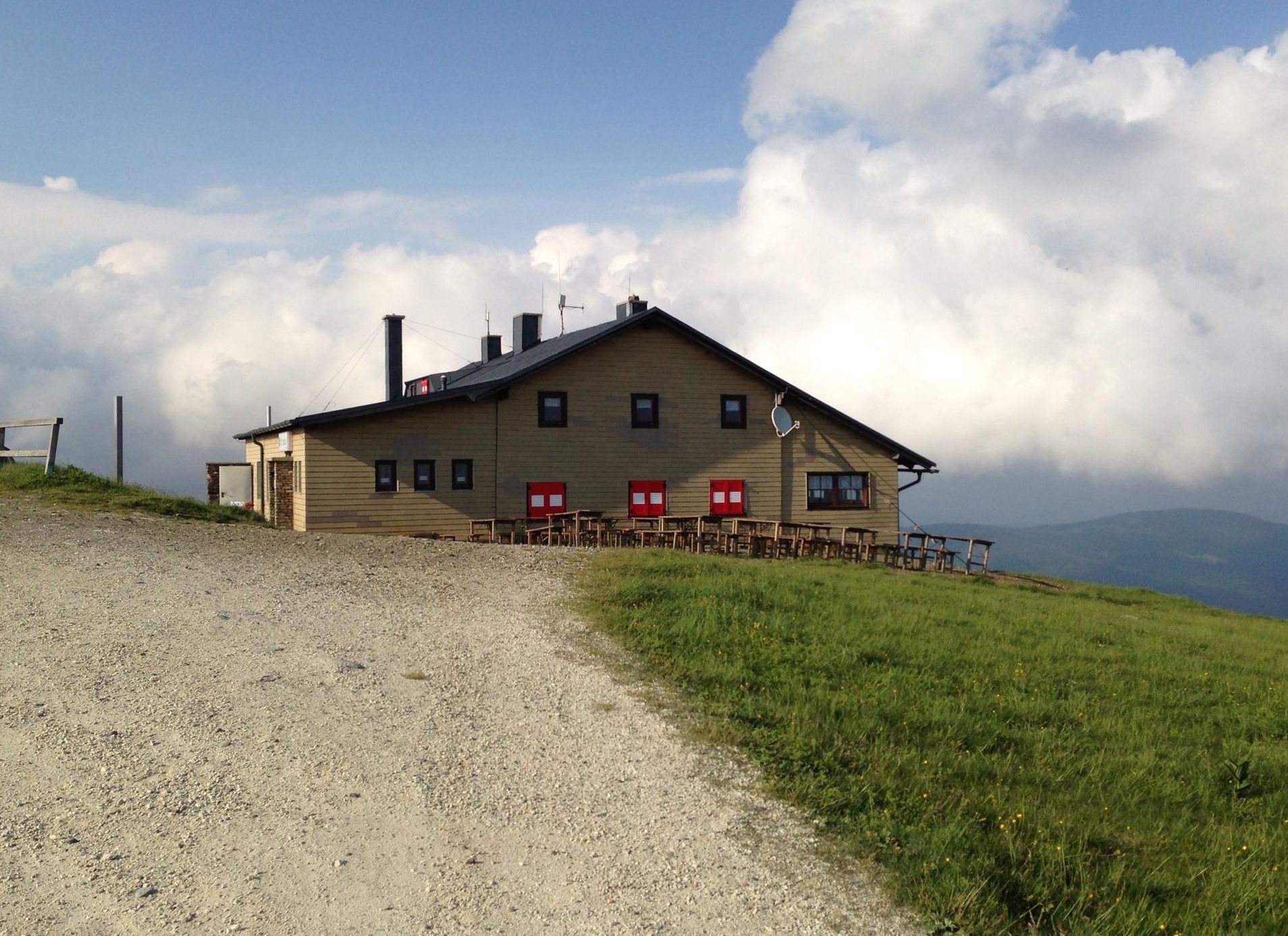
Wetterkoglerhaus on the Hochwechsel
- Profil de elevație
-

- Autor
-
Turul Hike to the Wetterkoglerhaus over the Marienseer Schwaig este utilizat de outdooractive.com furnizat.
GPS Downloads


Informaţii generale
Oprire pentru băuturi răcoritoare
Promițător
Mai multe tururi în regiuni