© © ÖTK, Foto Roland Ladik - Wiener Alpen in Niederösterreich Tourismus GmbH
© © Fotograf Roman Klementschitz, Wien - Wiener Alpen in Niederösterreich Tourismus GmbH
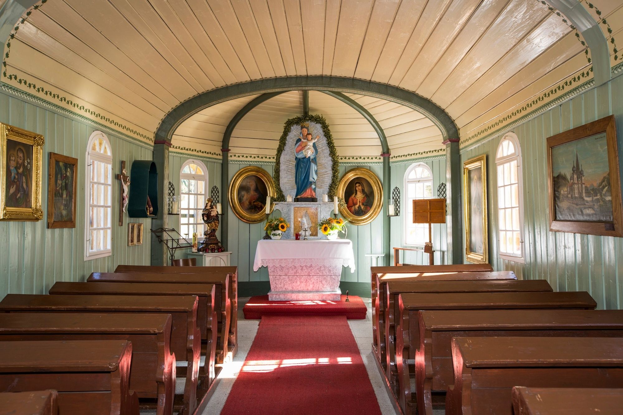
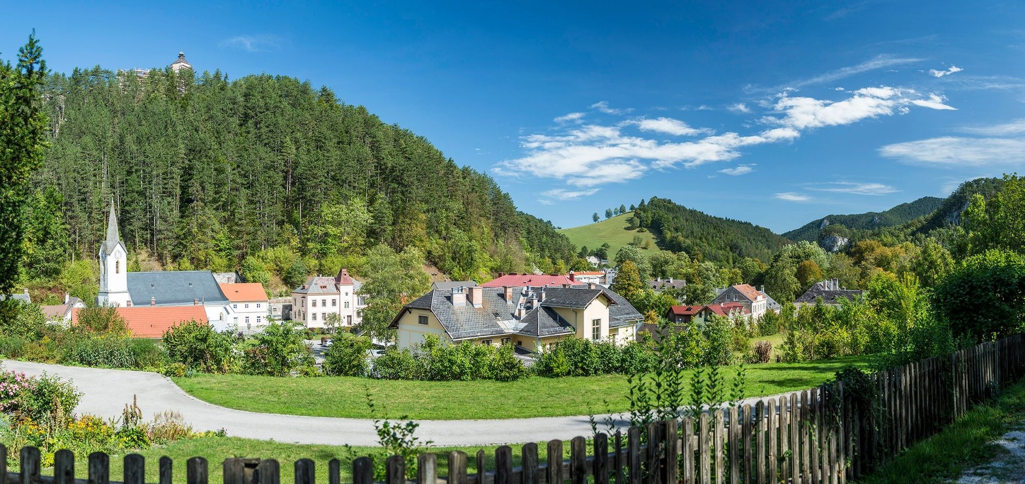
© ©Gemeinde Muggendorf
© Wiener Alpen in Niederösterreich - Sophie Weinberger
© Wiener Alpen in Niederösterreich - Sophie Weinberger
© Wiener Alpen in Niederösterreich - Sophie Weinberger
© Wiener Alpen in Niederösterreich - Sophie Weinberger
© Wiener Alpen in Niederösterreich - Sophie Weinberger

© Wiener Alpen in Niederösterreich - Sophie Weinberger
© Wiener Alpen in Niederösterreich - Sophie Weinberger
- Scurtă descriere
-
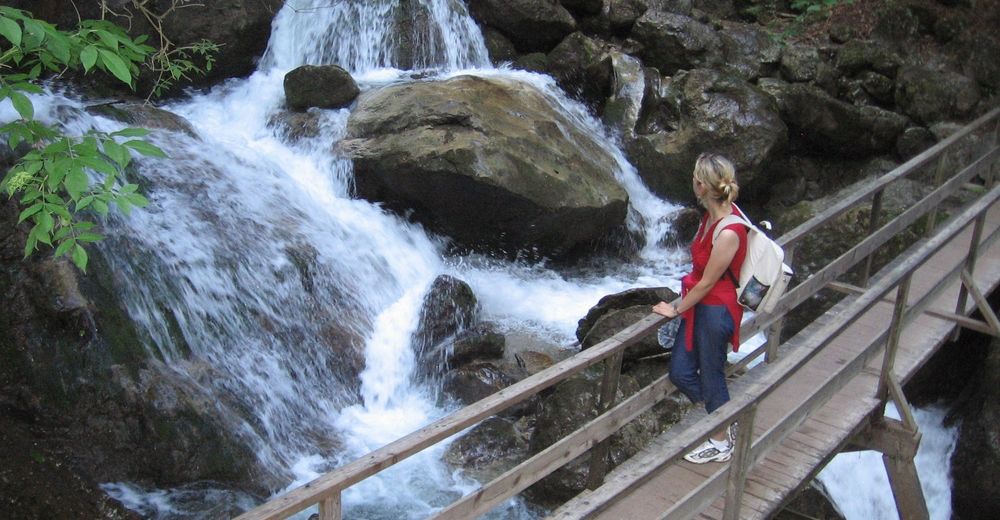
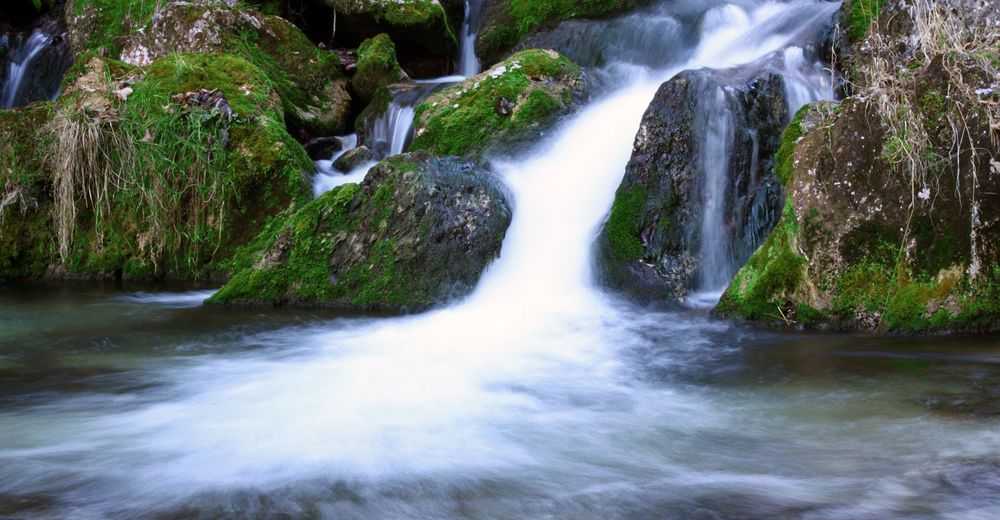
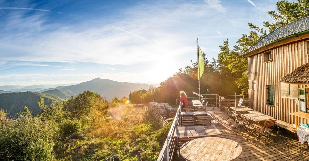
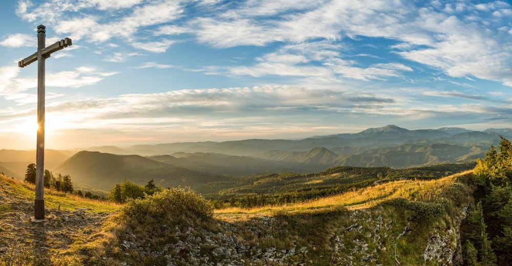
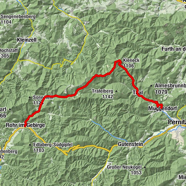
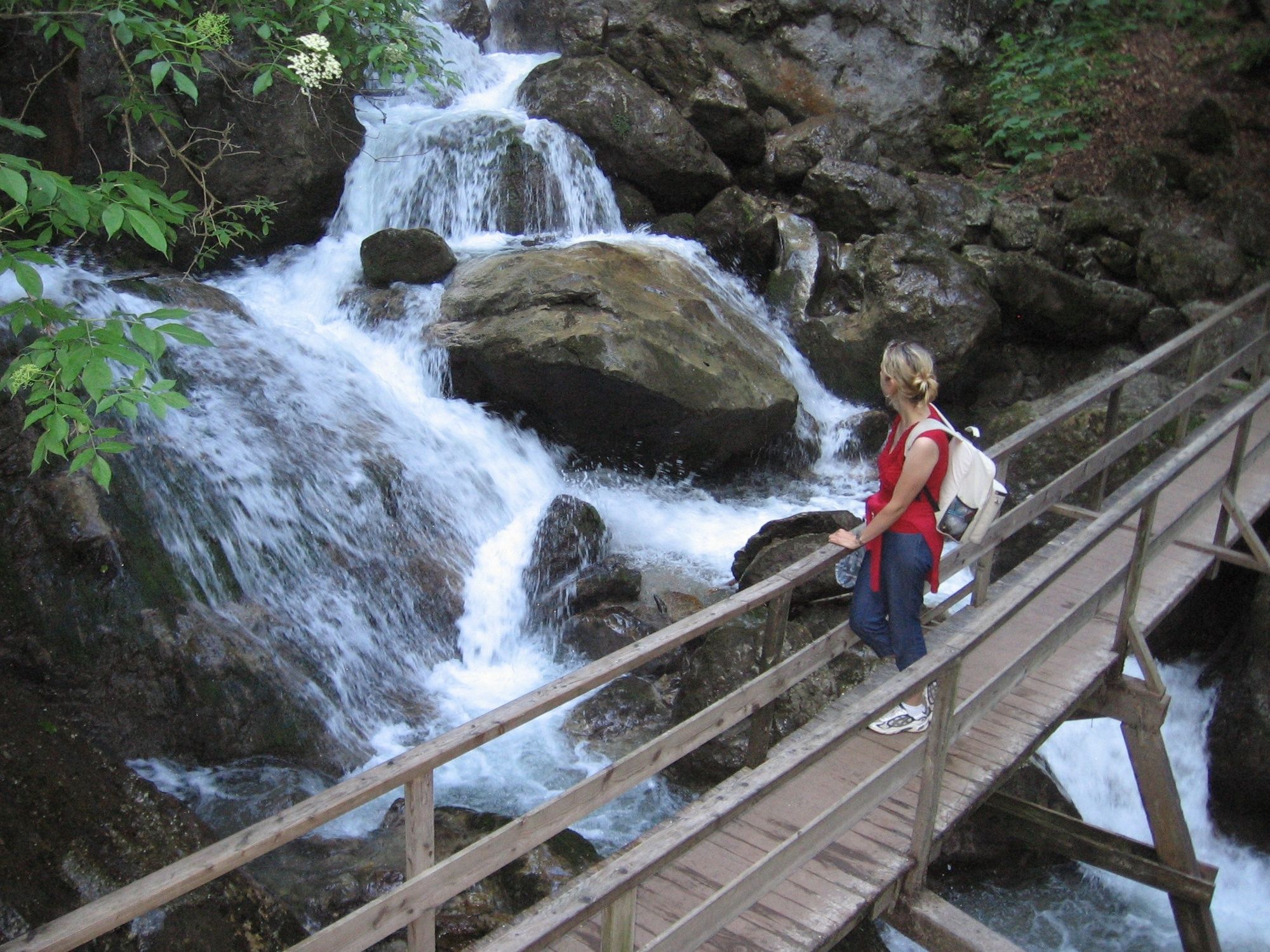
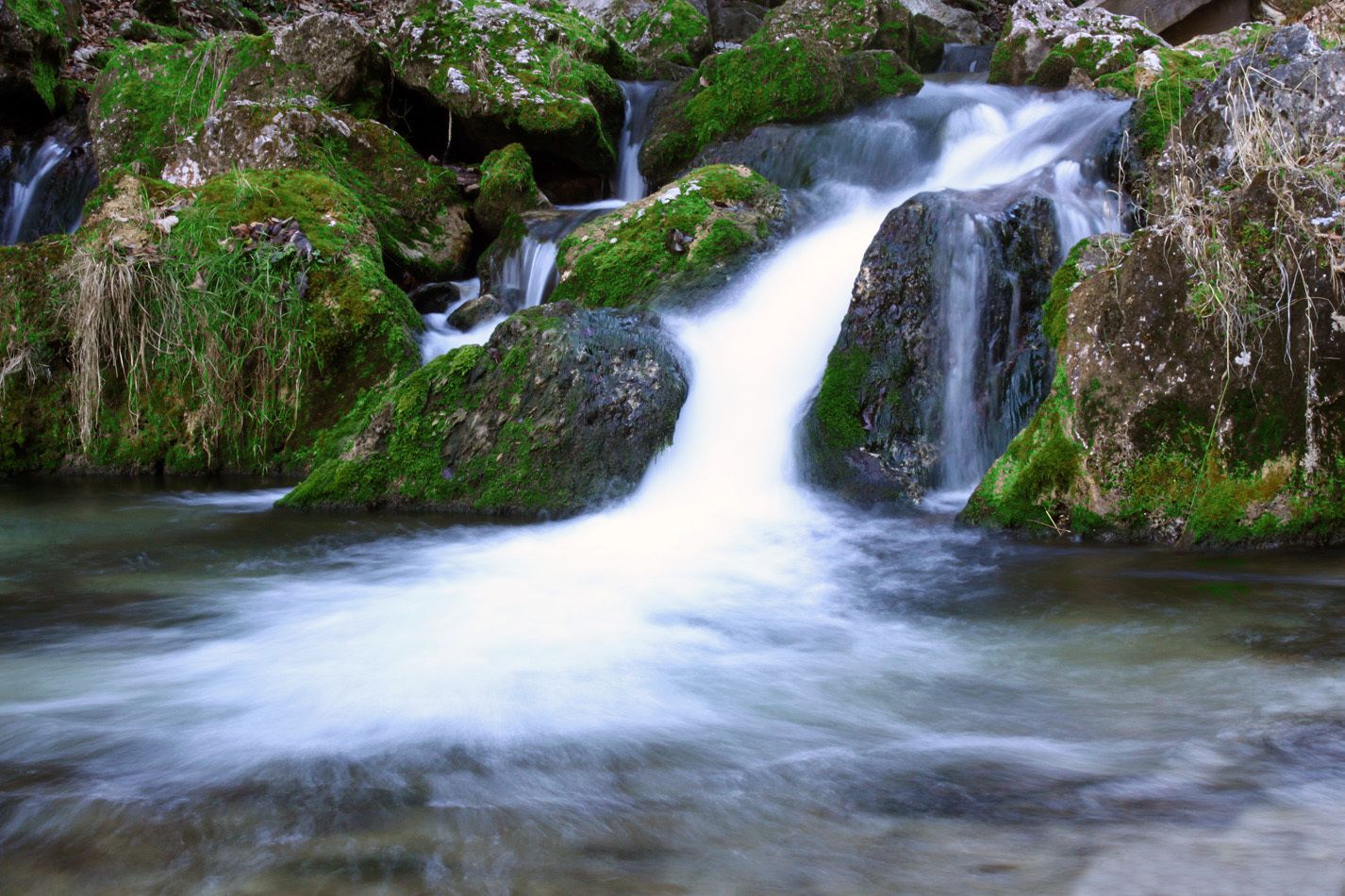
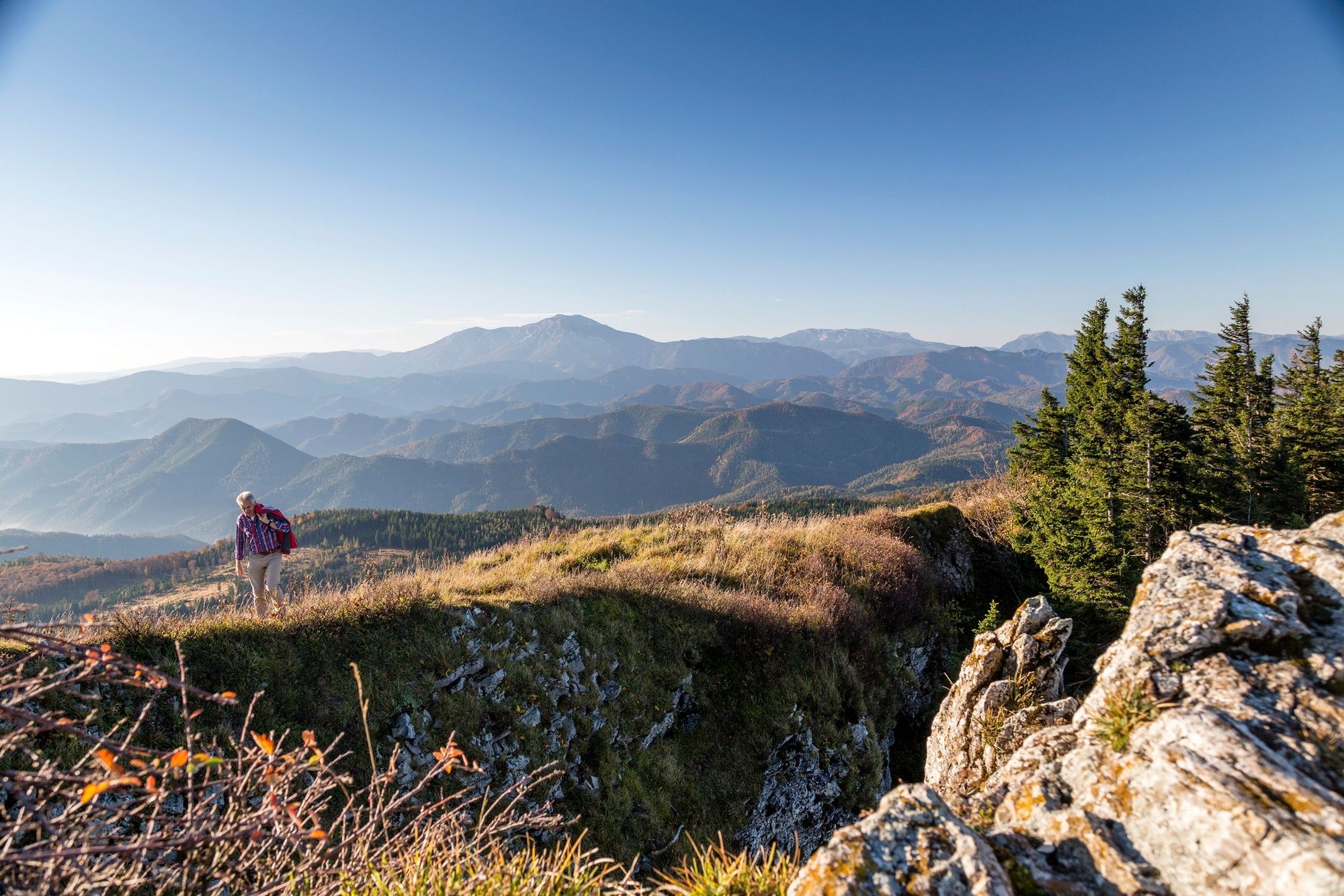
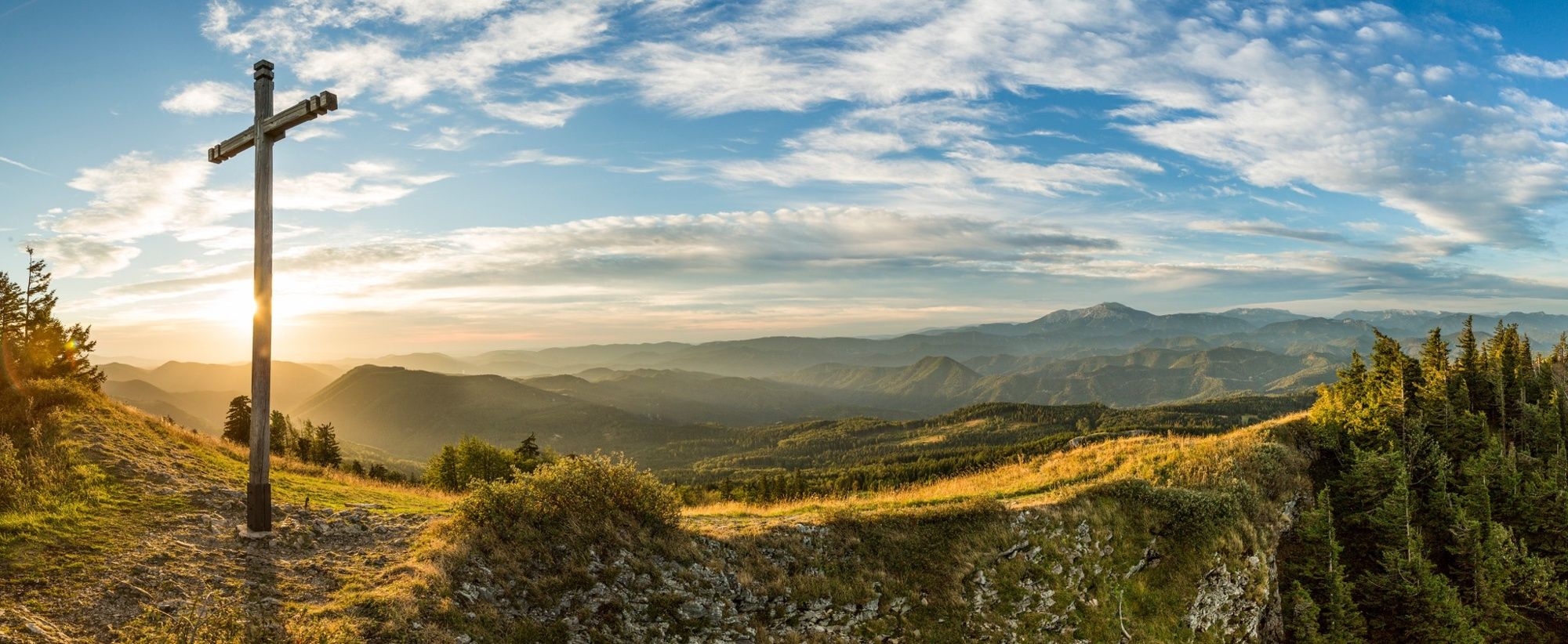
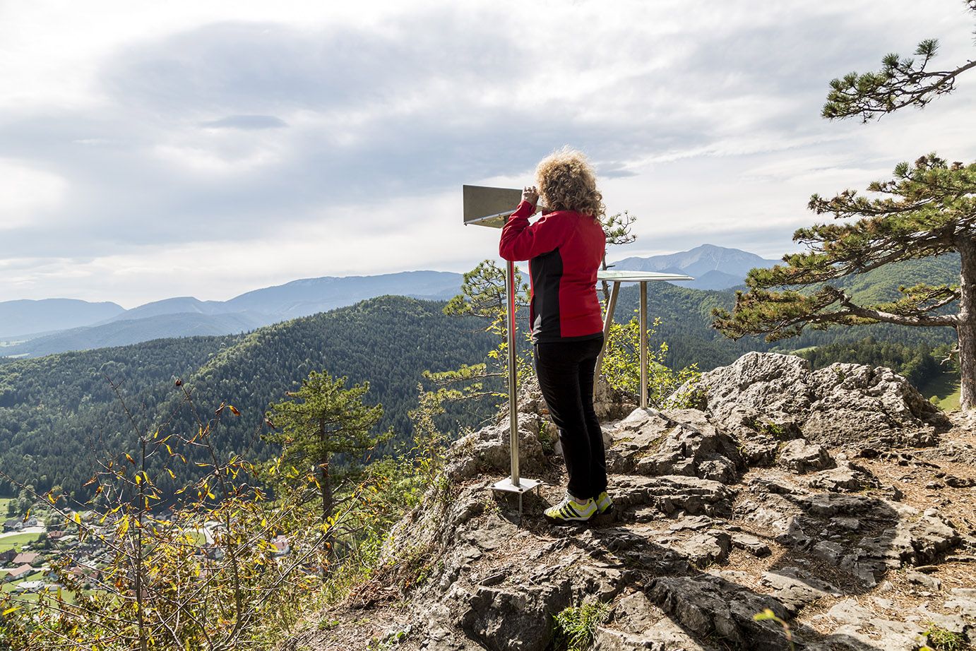
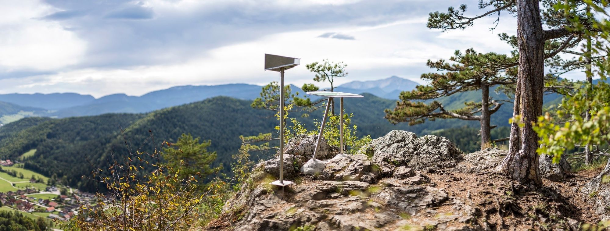
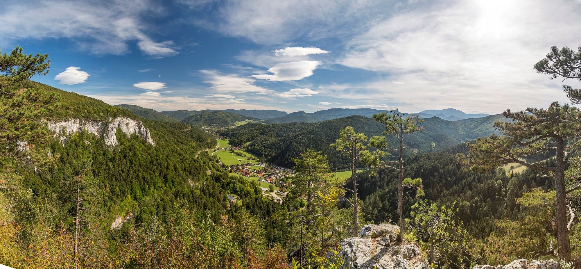
Regional Route T starts at the splendid Myra Falls and heads on via the fabled Unterberg summit to Rohr im Gebirge. The Regional Routes are part of the network of paths making up the Viennese Alps (WAB) route. Hikes along these routes lead you to unique views and also insights. The Regional Routes are linked to the network of paths making up the Viennese Alps route. This results in circular hikes in conjunction with the long-distance path.
- Greutăţi
-
greu
- Evaluare
-
- Ruta
-
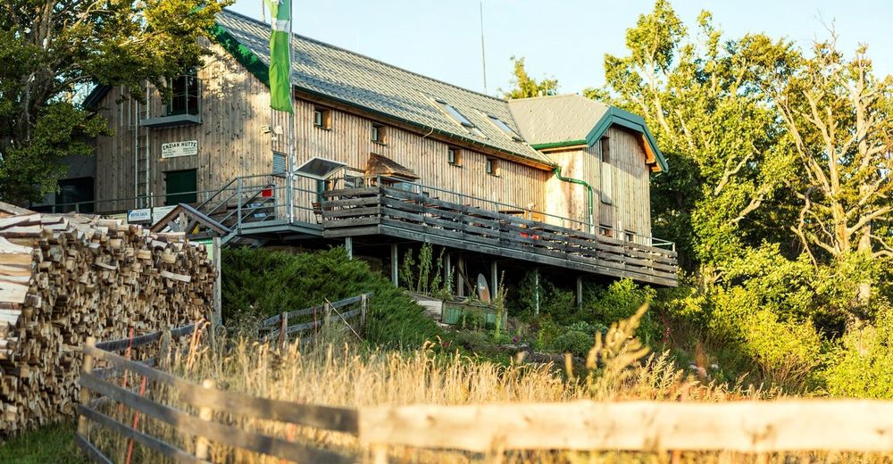
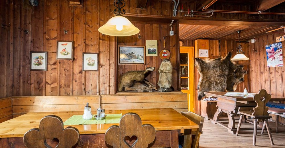
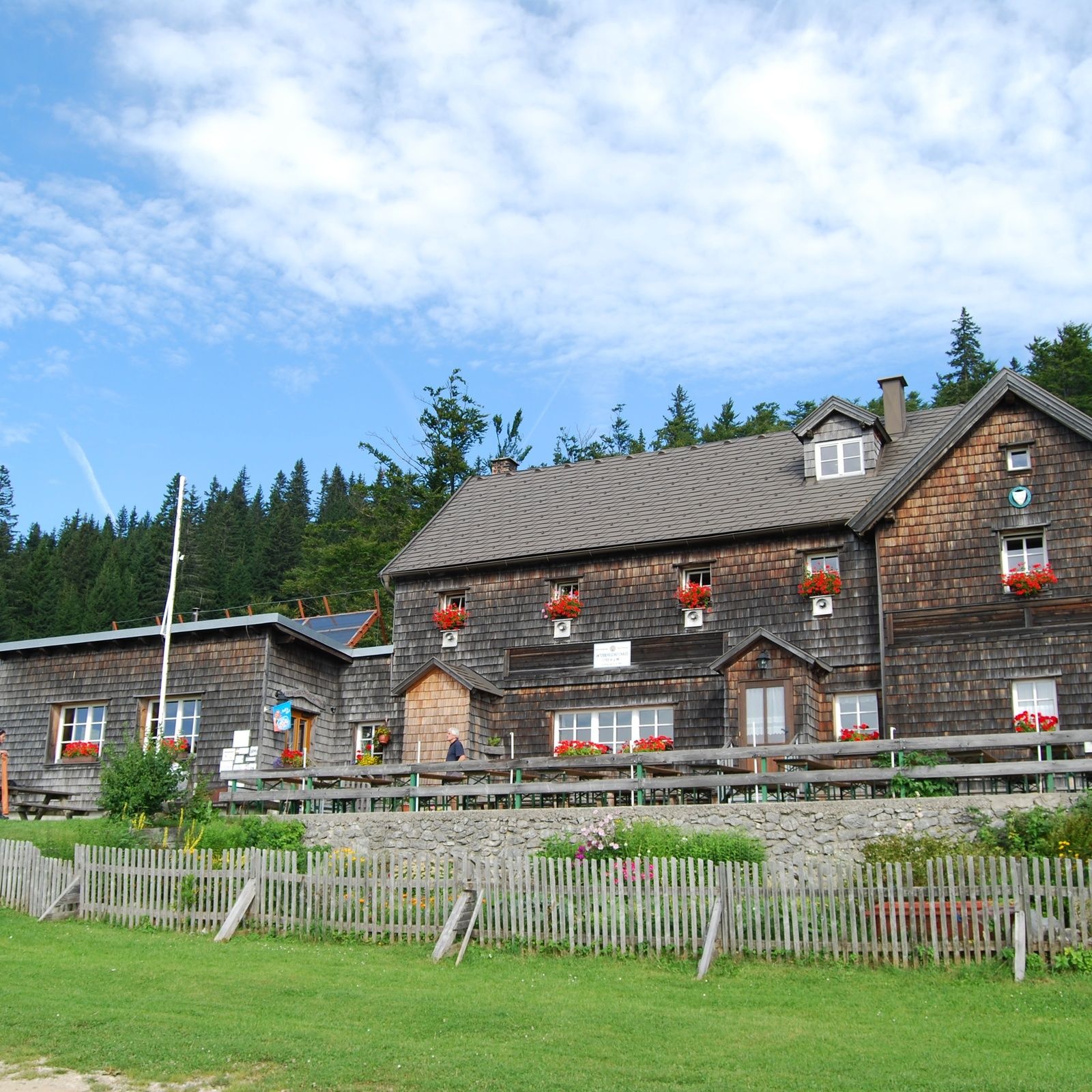
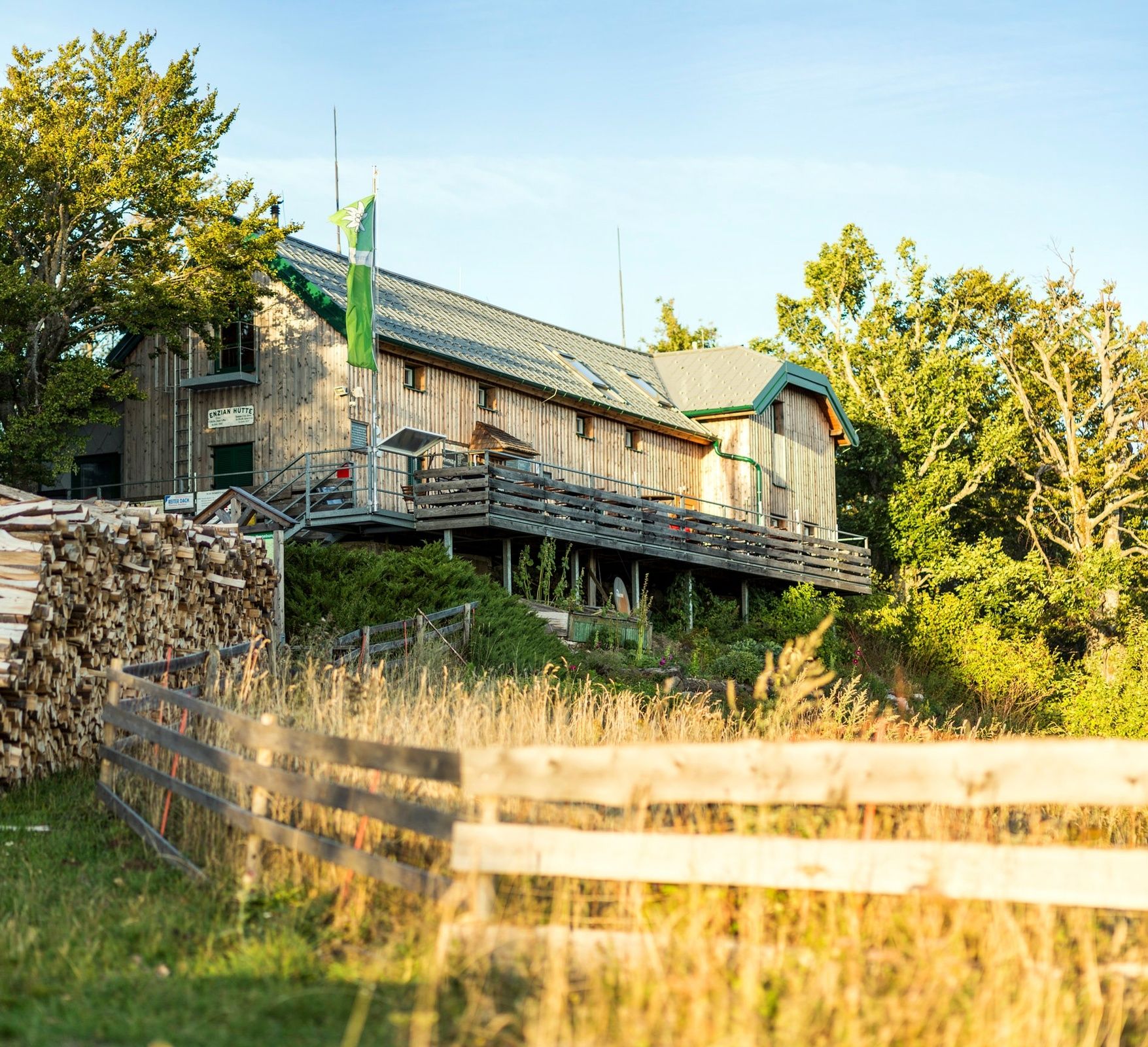
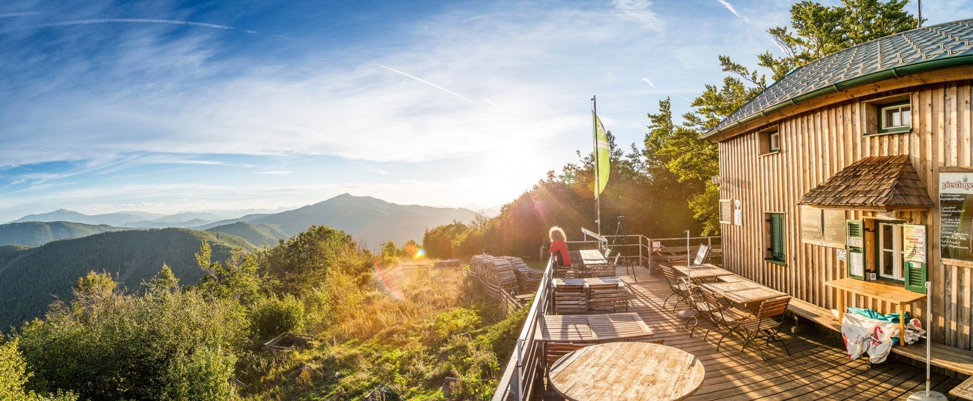
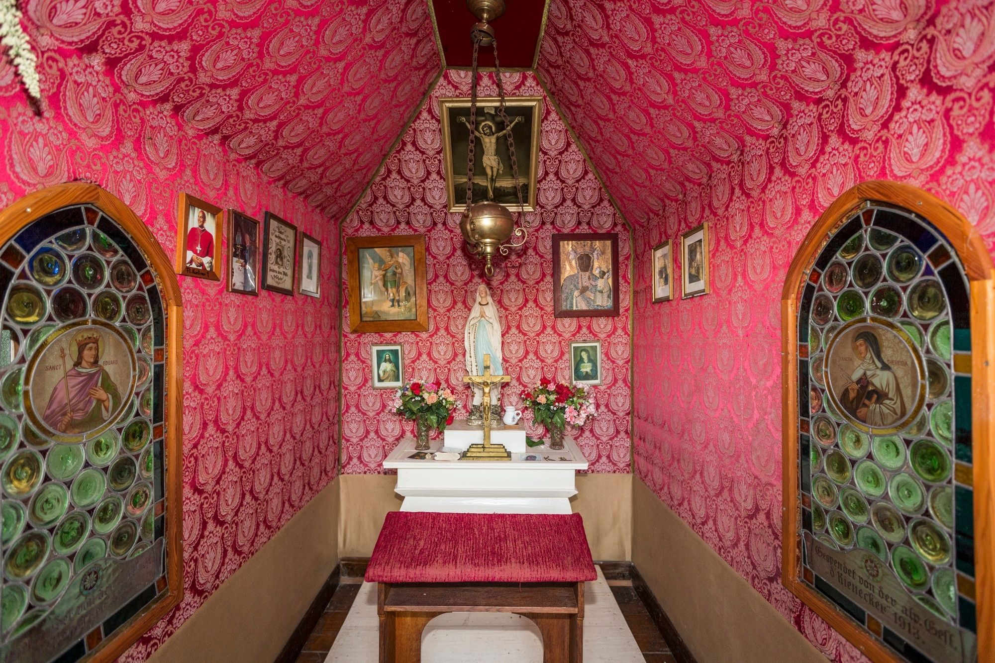
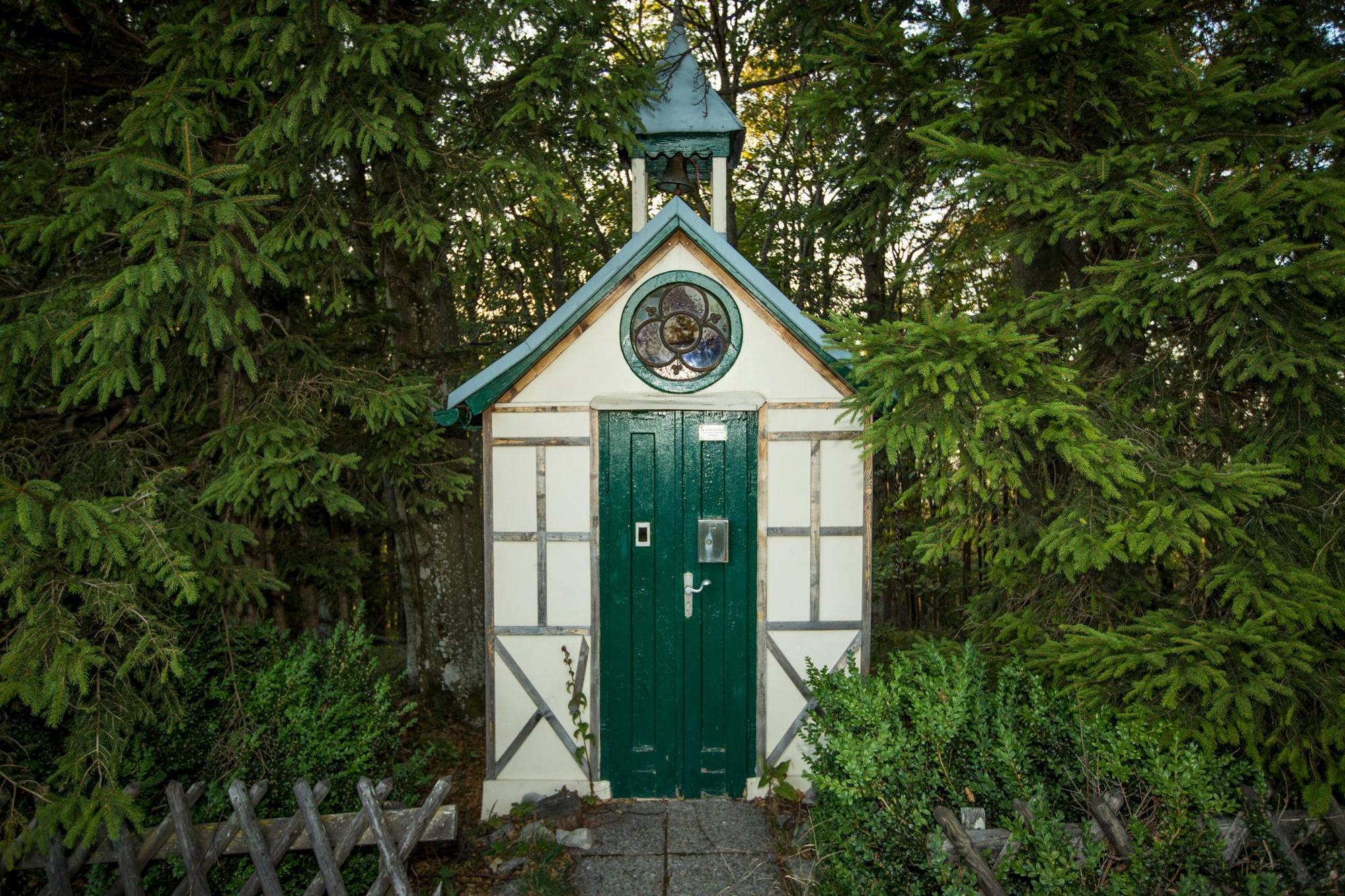
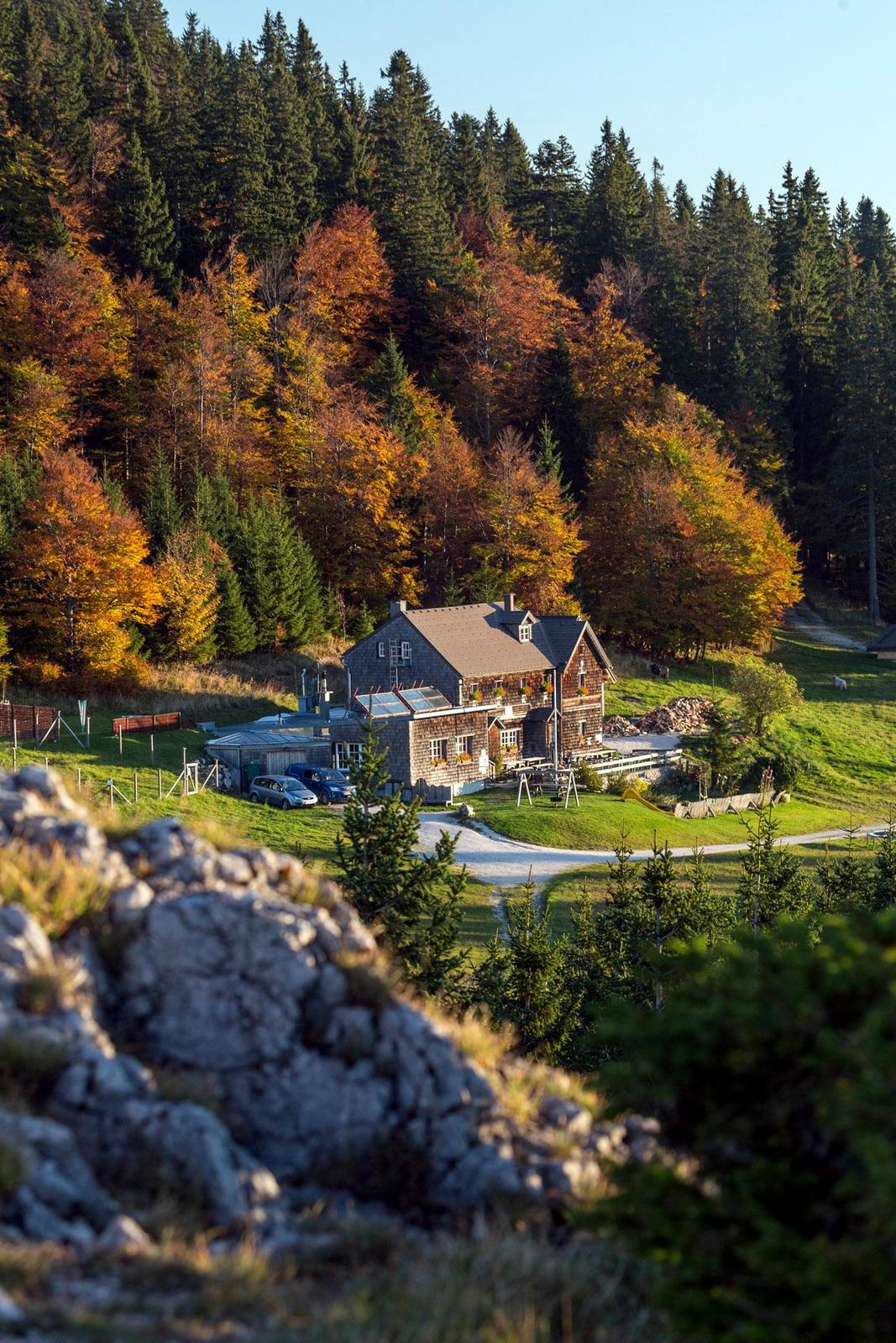
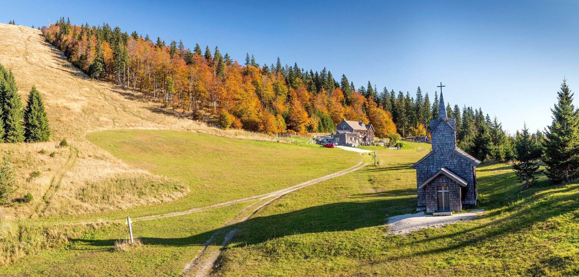
MuggendorfHausstein (668 m)0,6 kmKarnerwirt1,8 kmLeitner4,0 kmThal4,3 kmEnzianhütte9,6 kmKieneck (1.106 m)9,6 kmKirchwaldberg (1.068 m)11,7 kmUnterberg Schutzhaus15,2 kmMaria Einsiedl15,5 kmMiralucke16,8 kmKlauswirt (Gasthaus zur Klaus)22,0 kmFensterklüftchen22,1 kmLaubstube22,6 kmgoldener Wagen22,7 kmBergmanderllucka23,0 kmKaiser Franz Joseph24,5 kmRohr im Gebirge24,6 kmSt. Ulrich24,6 km
- Cel mai bun sezon
-
ianfebmaraprmaiiuniulaugsepoctnovdec
- Cel mai înalt punct
- 1.181 m
- Destinație
-
Gasthof zum Kaiser Franz Josef, Rohr im Gebirge
- Profil de elevație
-


- Autor
-
Turul WAB - Regional Route T: Muggendorf - Rohr im Gebirge este utilizat de outdooractive.com furnizat.
GPS Downloads


Informaţii generale
Oprire pentru băuturi răcoritoare
Mai multe tururi în regiuni
-
Wienerwald
4219
-
Schneebergland - Wiener Alpen
2457
-
Gutenstein
701