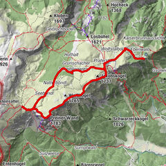
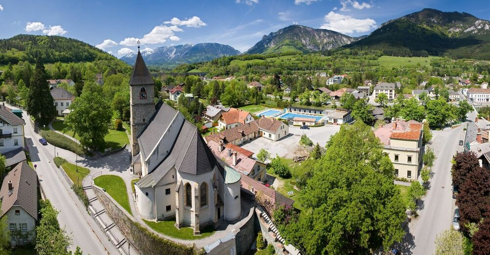
WAB - Regional Route K: Gloggnitz Castle - Prigglitz - Payerbach

© ©Wiener Alpen, Foto: www.eva-gruber.com - Wiener Alpen in Niederösterreich
© © Wiener Alpen in NÖ Tourismus GmbH, Foto: Franz Zwickl - Wiener Alpen in Niederösterreich Tourismus GmbH
© © Wiener Alpen in NÖ Tourismus GmbH, Foto: Andreas Kranzmayer - Wiener Alpen in Niederösterreich Tourismus GmbH
© Wiener Alpen in Niederösterreich - Sophie Weinberger


- Scurtă descriere
-
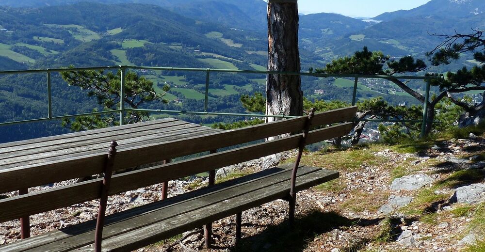
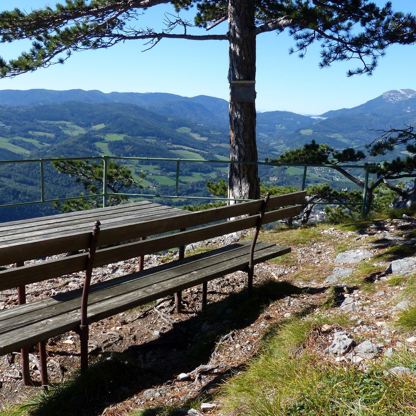
Regional Route K runs between Gloggnitz and Payerbach and has some special views. The Regional Routes are part of the network of paths making up the Viennese Alps (WAB) route. Hikes along these routes lead you to unique views and also insights. The Regional Routes are linked to the network of paths making up the Viennese Alps route. This results in circular hikes in conjunction with the long-distance path.
- Greutăţi
-
mediu
- Evaluare
-
- Ruta
-
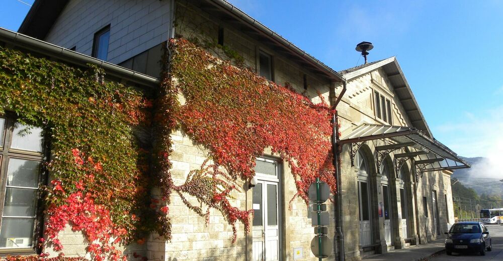
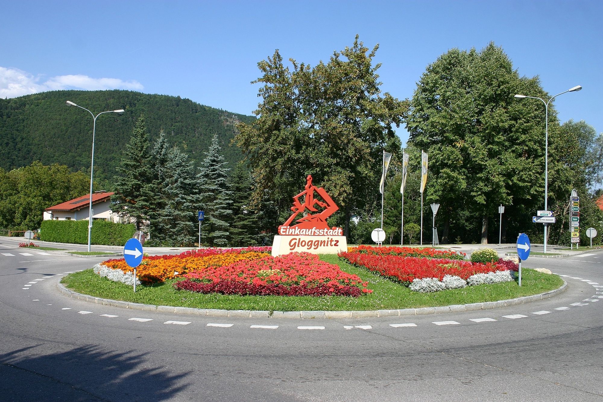
Schlosskirche Maria Schnee0,1 kmSt. Othmar Kapelle0,7 kmGloggnitz0,8 kmSilbersberg (716 m)3,1 kmZwicklkapelle4,4 kmSilbersberg4,5 kmGasthof Kürner5,5 kmSeelhofer5,6 kmGasthof Seelhofer5,7 kmAuf der Wiese5,8 kmSchwarzenberg-Aussicht (1.329 m)9,4 kmWaldburgangerhütte10,5 kmGeyerhof13,6 kmPayerbach Lokalbahn14,1 kmPayerbach14,2 km
- Cel mai bun sezon
-
ianfebmaraprmaiiuniulaugsepoctnovdec
- Cel mai înalt punct
- 1.315 m
- Destinație
-
Payerbach railway station
- Profil de elevație
-


- Autor
-
Turul WAB - Regional Route K: Gloggnitz Castle - Prigglitz - Payerbach este utilizat de outdooractive.com furnizat.
GPS Downloads


Informaţii generale
Oprire pentru băuturi răcoritoare
Promițător
Mai multe tururi în regiuni
-
Wiener Alpen
3048
-
Semmering - Rax
2314
-
Prigglitz
895