
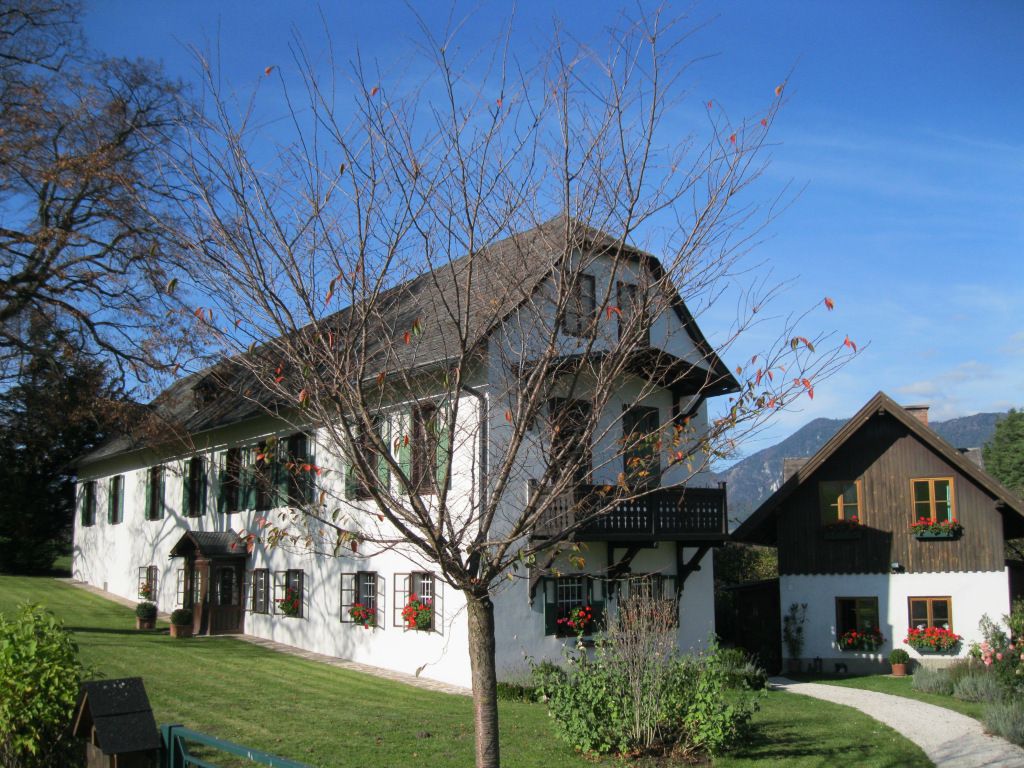
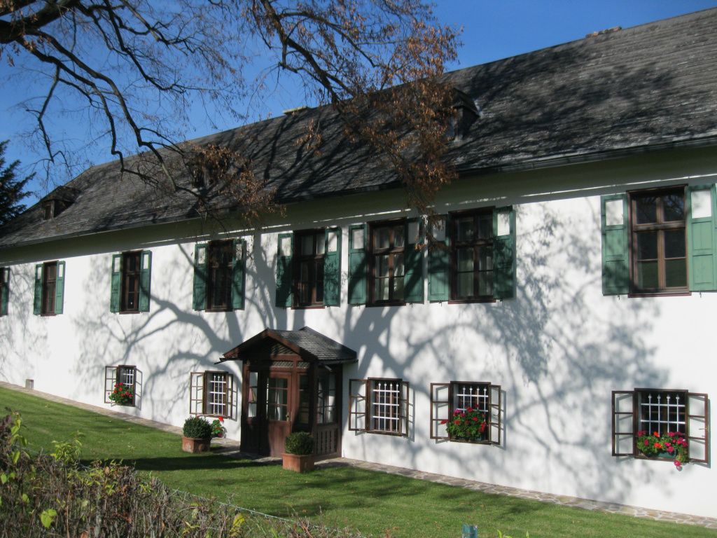
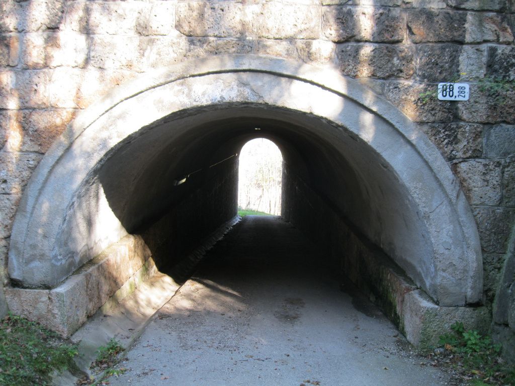
© gert gasperin
© gert gasperin
© gert gasperin
© gert gasperin
© gert gasperin
© gert gasperin
© gert gasperin
© gert gasperin
© gert gasperin
© gert gasperin
Informaţii pentru tur
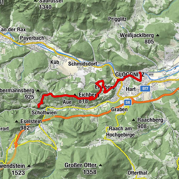
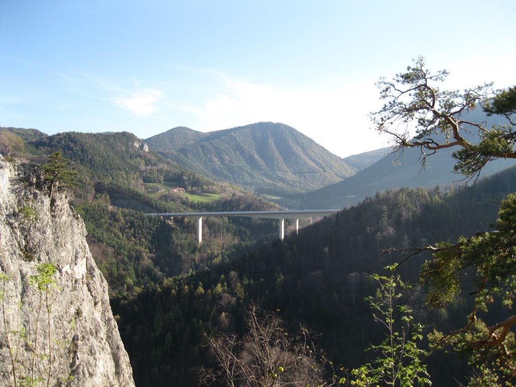
9,86km
433
- 777m
395hm
395hm
05:30h
- Scurtă descriere
-
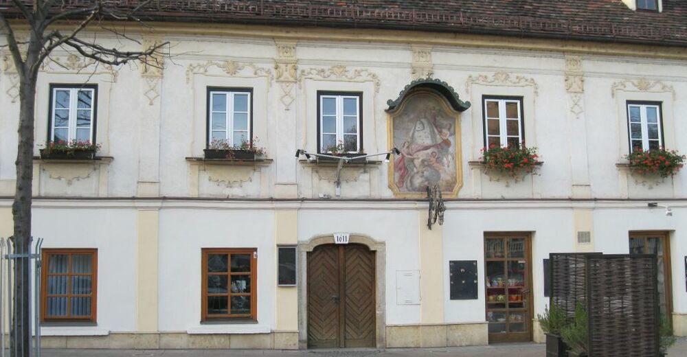
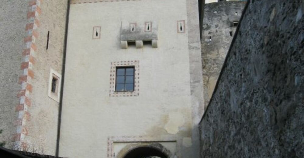
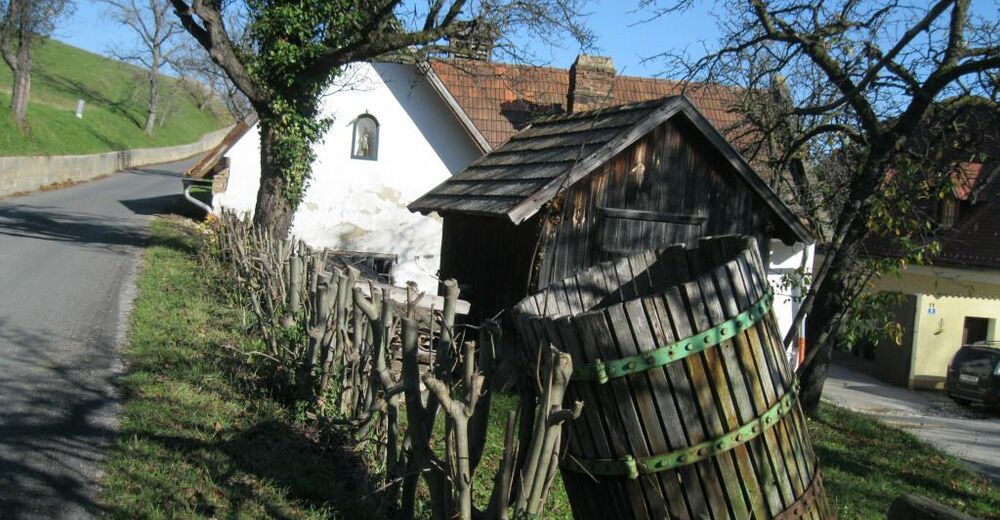
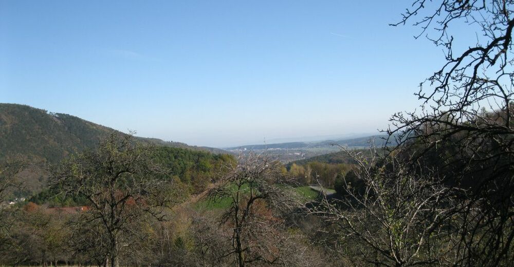
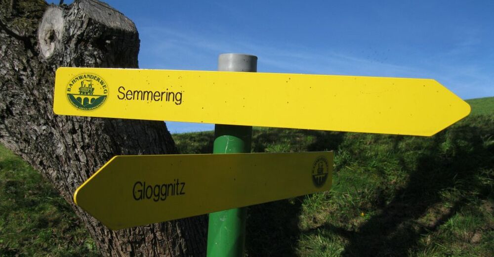
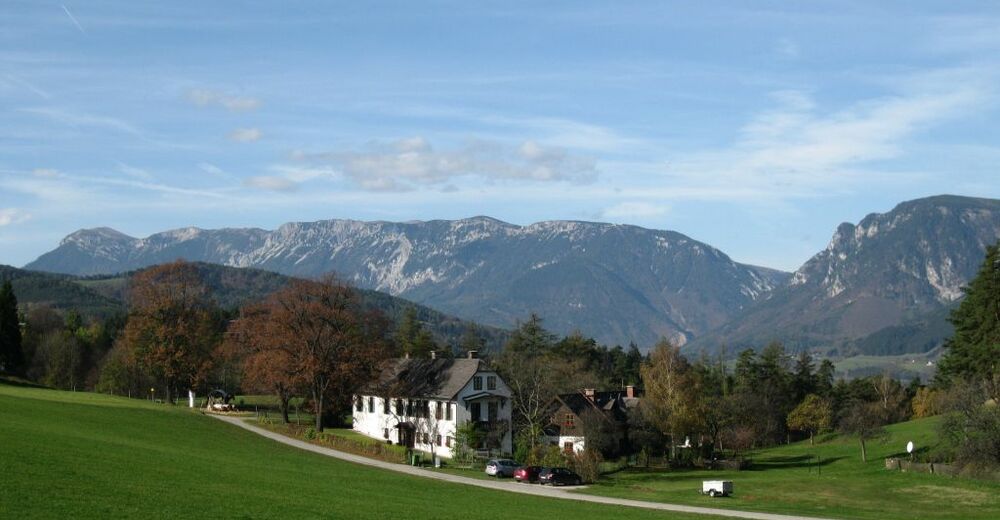
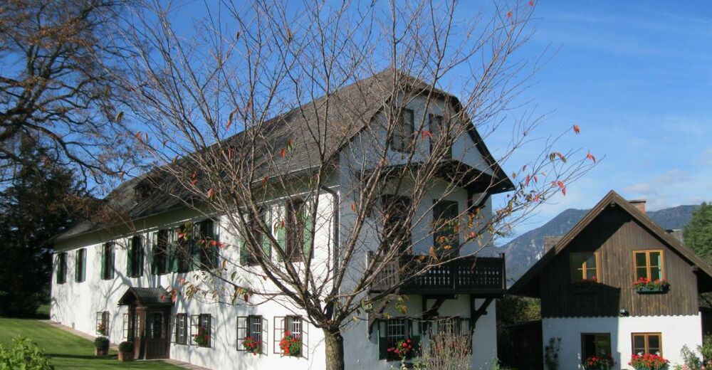
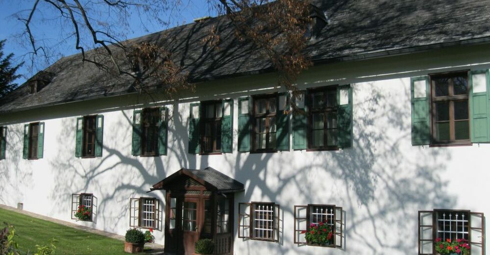
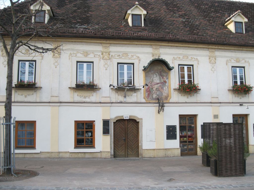
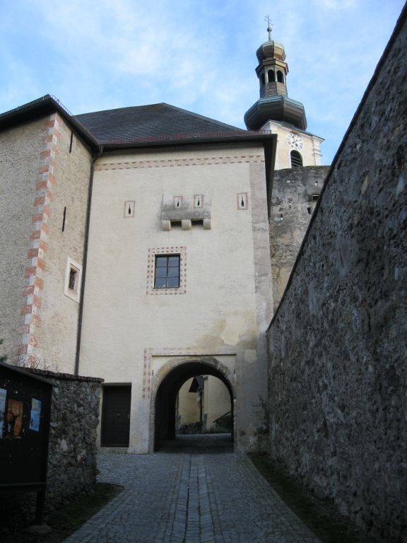
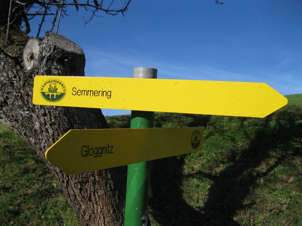
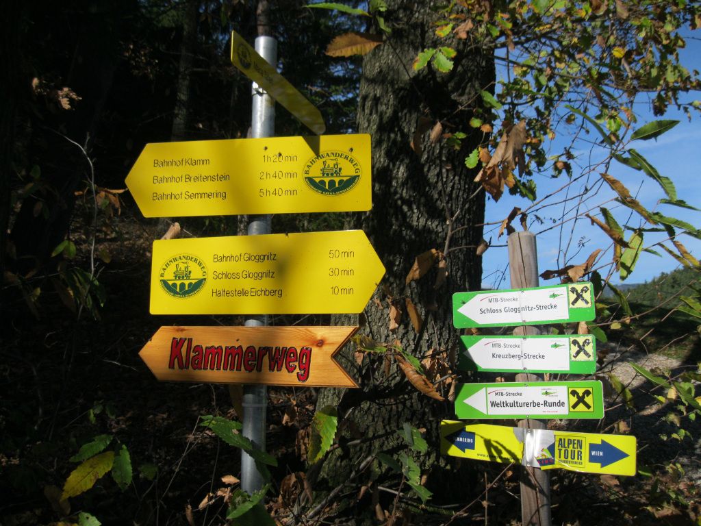
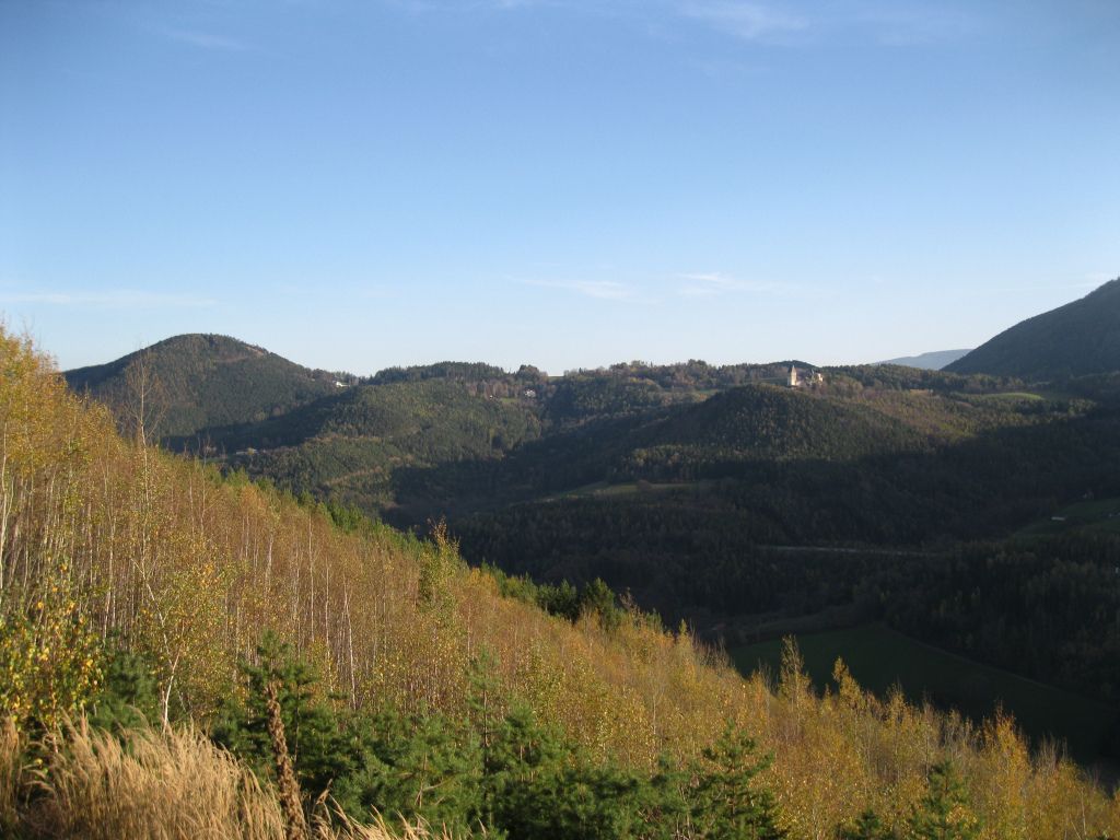
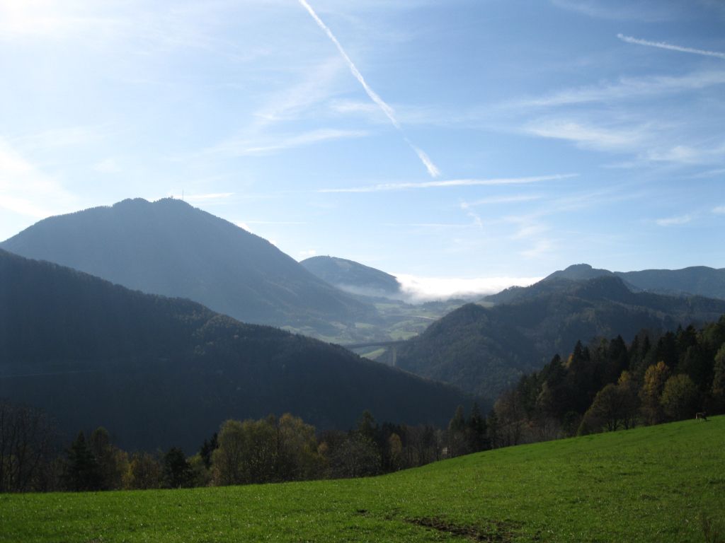
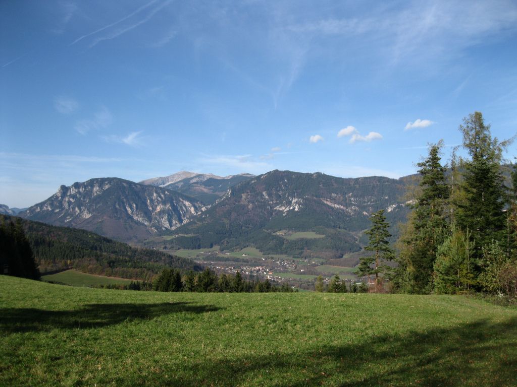
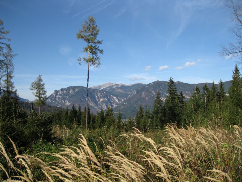
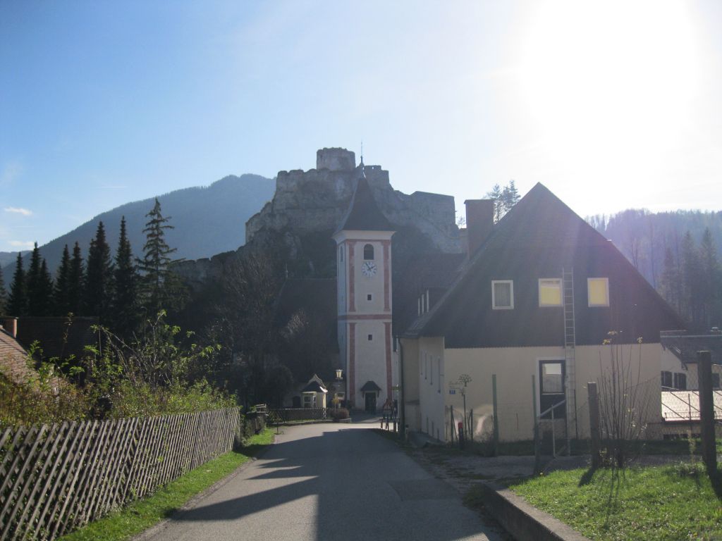
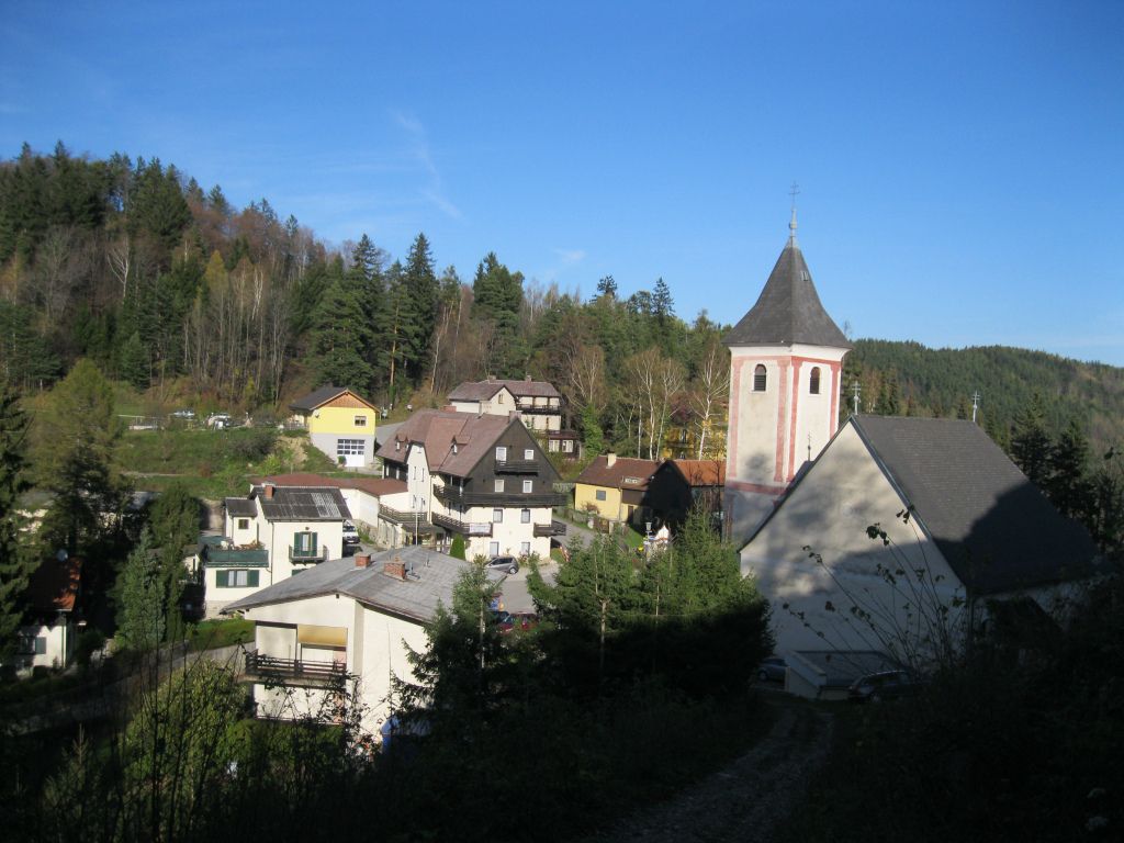
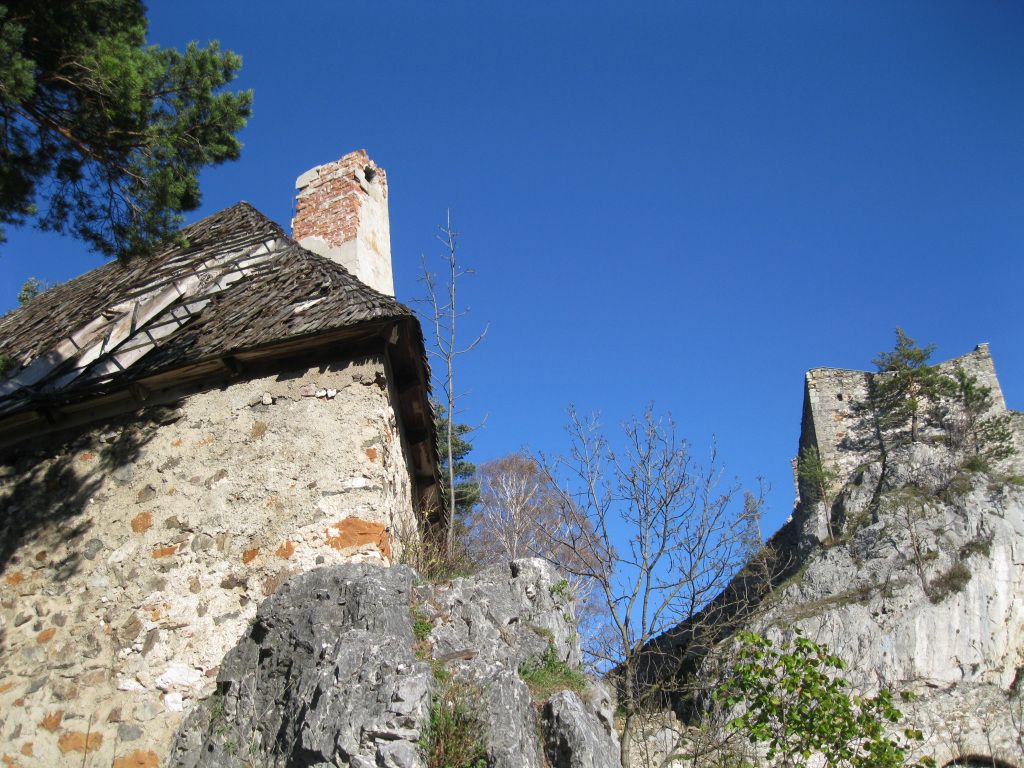
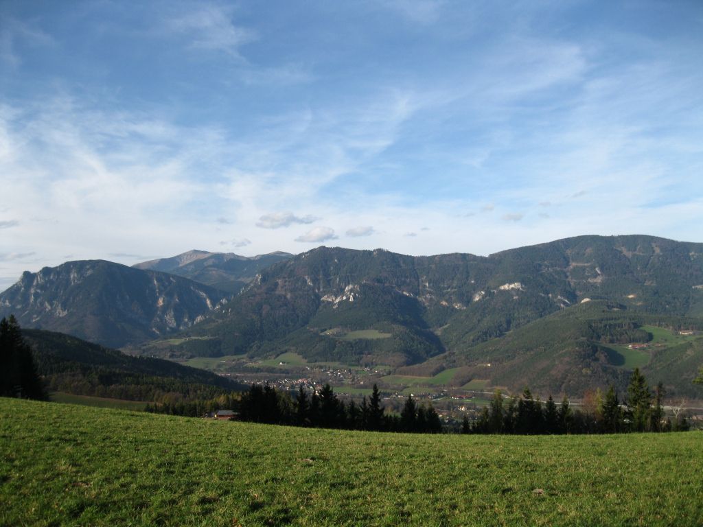
Gloggnitz - Eichberg - Kochhof - Klamm - Ruine Klamm
- Greutăţi
-
uşor
- Evaluare
-
- Punct de pornire
-
Bahnhof Gloggnitz
- Ruta
-
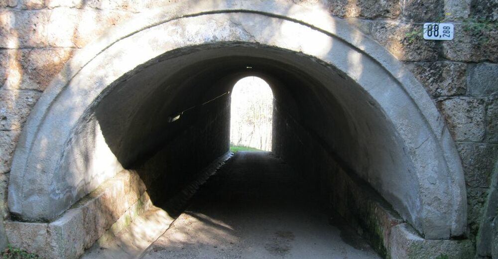
Gloggnitz1,2 kmSt. Othmar Kapelle1,2 kmSchlosskirche Maria Schnee1,9 kmEhrenböck-Kapelle2,8 kmEichberg3,1 kmEichberg4,3 kmSonnwendsteinblick7,5 kmSchneebergblick8,2 kmKlammerkapelle8,5 kmNepomuk-Kapelle9,6 kmKlamm9,6 kmPfarrkirche Klamm9,7 kmRuinentor9,8 km
- Cel mai bun sezon
-
ianfebmaraprmaiiuniulaugsepoctnovdec
- Cel mai înalt punct
- 777 m
- Destinație
-
Klamm


GPS Downloads


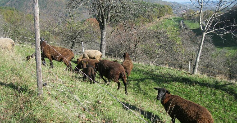
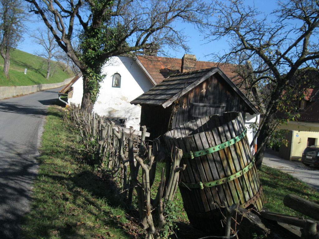
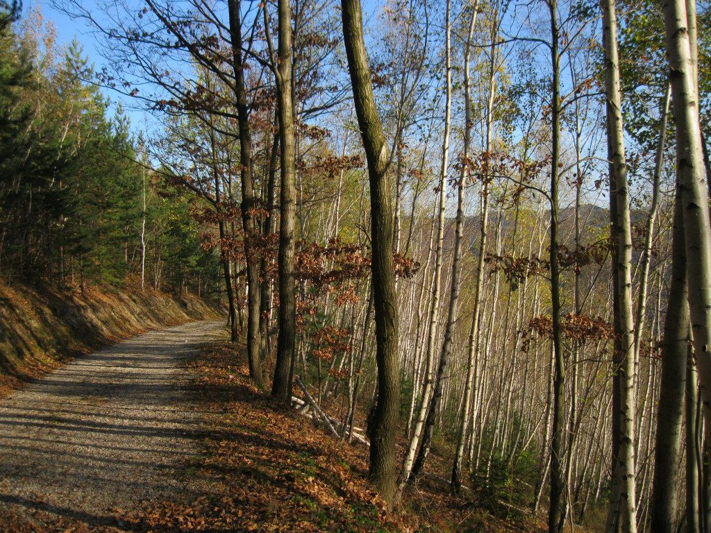
Condiții de traseu
Asfalt
Pietriş/prundiş/grohotiş
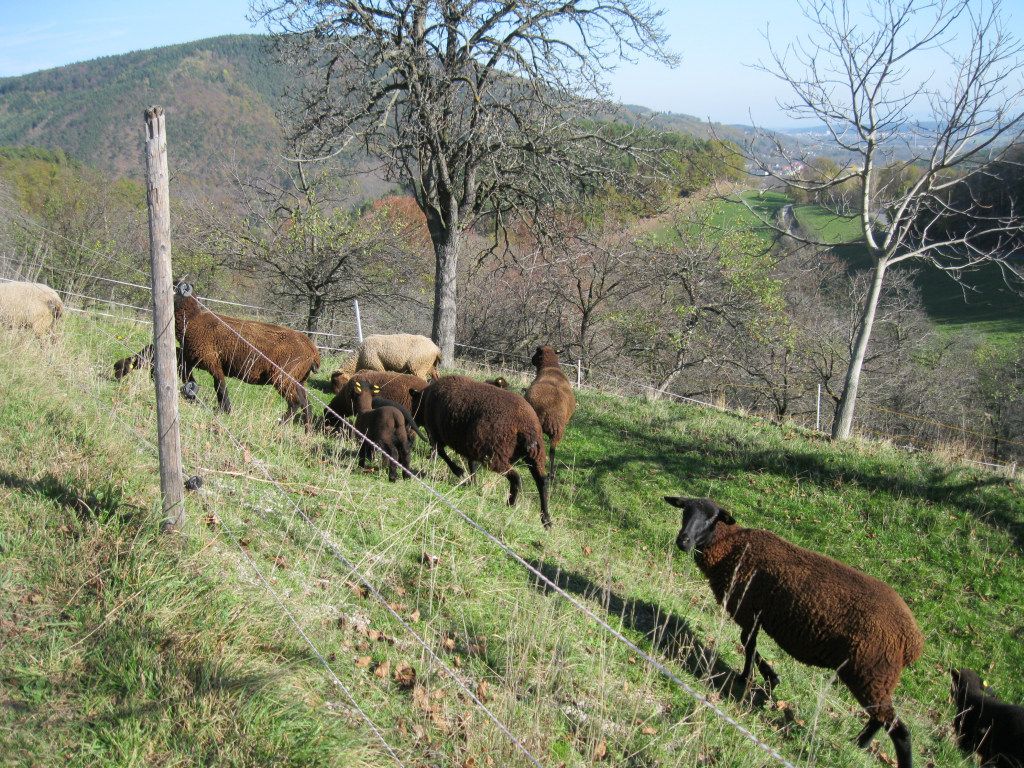
Livadă/pajişte
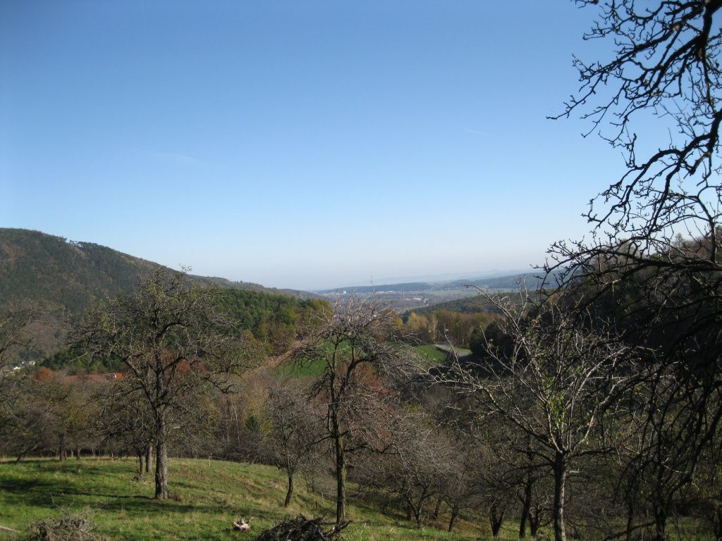
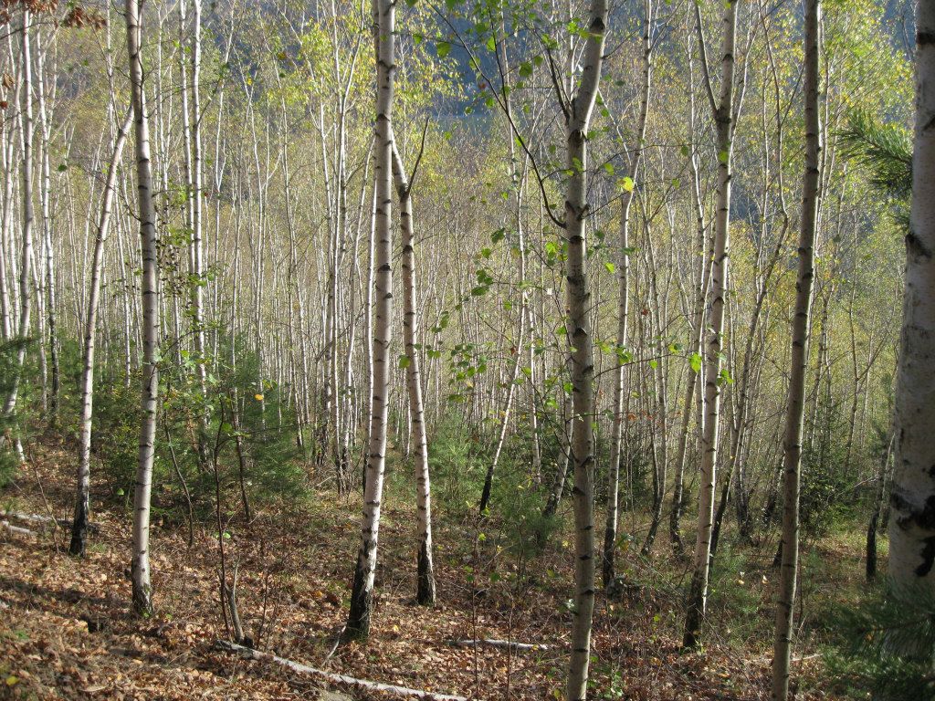
Pădure
Stâncă
Expus
Mai multe tururi în regiuni
-
Wiener Alpen
3048
-
Semmering - Rax
2314
-
Gloggnitz
746


