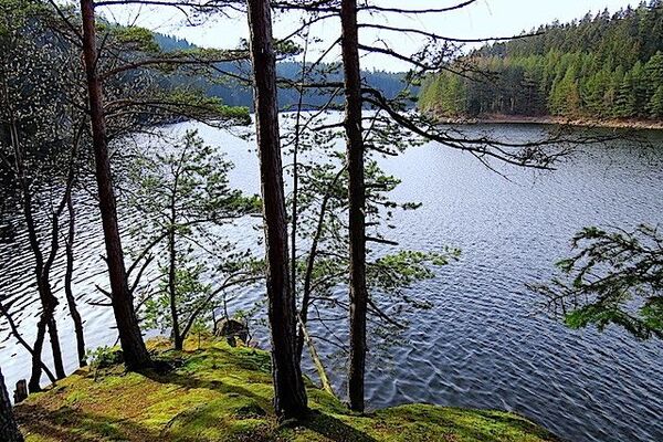
© Waldviertel Tourismus - Destination Waldviertel


- Greutăţi
-
uşor
- Evaluare
-
- Ruta
-
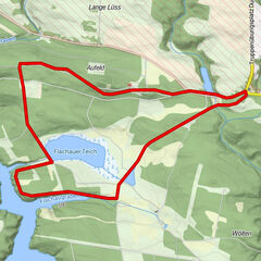
VitisPfarrkirche hl. Bartholomäus0,0 kmGasthaus Pichler0,2 kmTeichfeld2,6 kmGASTHAUS Weber Alfred3,3 kmJetzles3,5 kmStoies4,4 kmOrtskapelle4,5 kmGrafenschlag6,3 kmAlte Wege7,0 kmSchacherdorf8,1 kmEhem. Mautkapelle9,5 kmVitis9,8 km
- Cel mai bun sezon
-
ianfebmaraprmaiiuniulaugsepoctnovdec
- Cel mai înalt punct
- 583 m
- Destinație
-
Vitis
- Profil de elevație
-


- Autor
-
Turul Teichweg este utilizat de outdooractive.com furnizat.
GPS Downloads


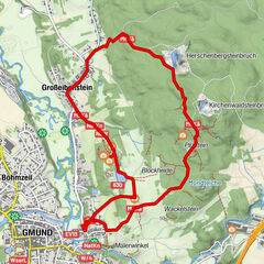
Mai multe tururi în regiuni
-
Waldviertel
1776
-
Oberes Waldviertel
614
-
Vitis
129