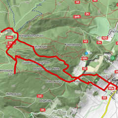
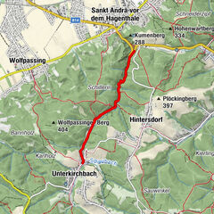
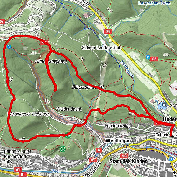
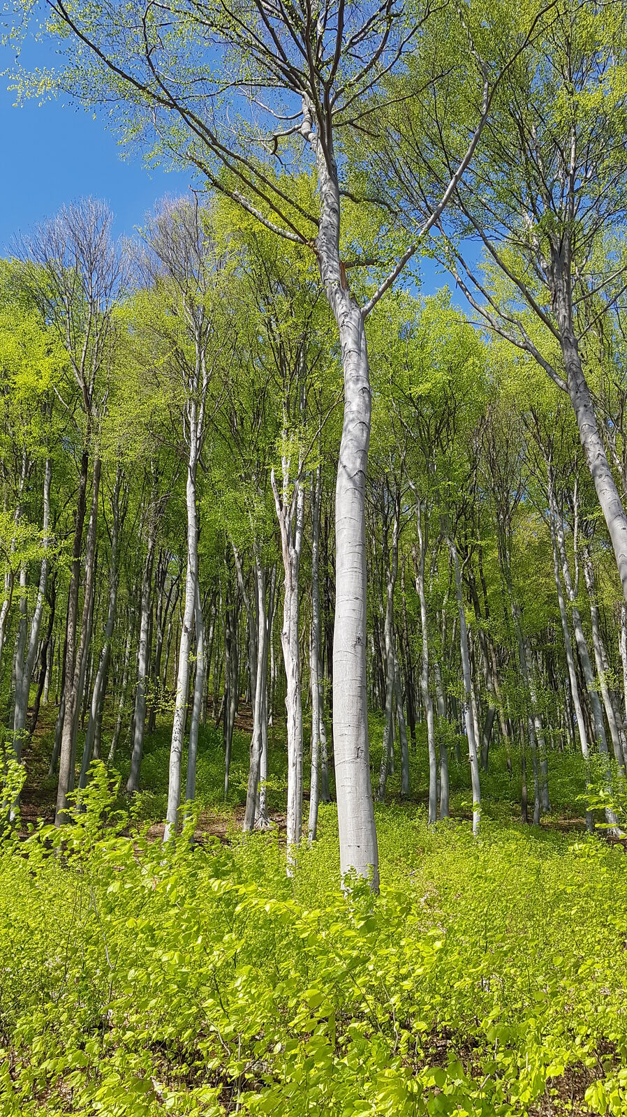
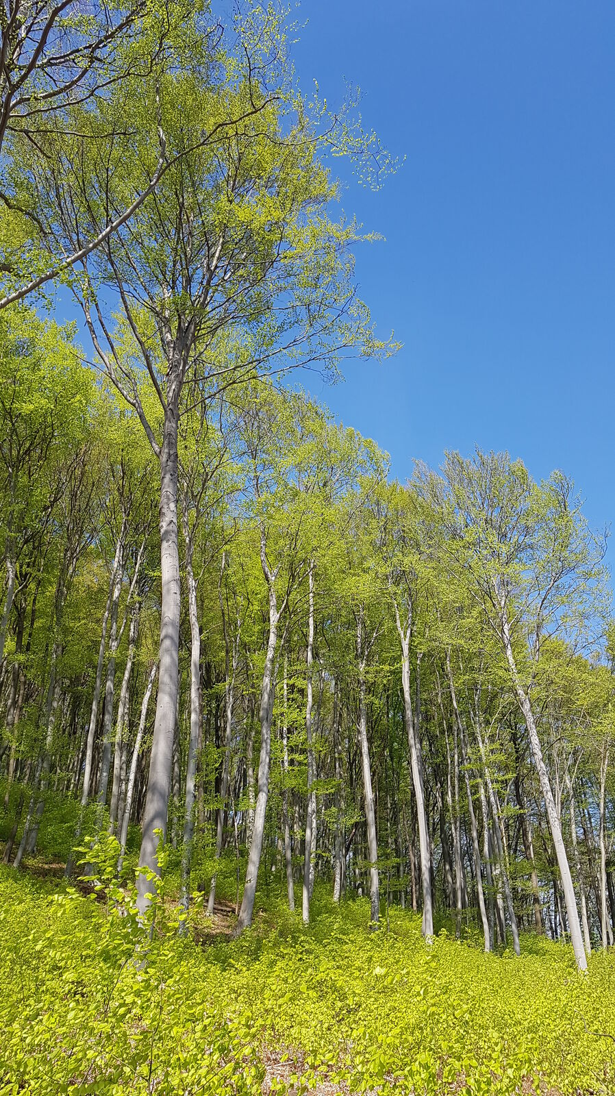
Hadersdorfer-Buchberg-Würzbach valley with constant southwest exposure


Informaţii pentru tur
9,43km
229
- 436m
280hm
269hm
02:00h
- Scurtă descriere
-
Nice southwest slope hike at almost any time of year
- Greutăţi
-
mediu
- Evaluare
-
- Ruta
-
Hadersdorf0,6 kmSiedlung Augustinerwald4,7 kmPurkersdorf (248 m)6,4 kmWurzbachtal7,5 kmSteinbruch7,7 kmWolfsschlucht7,8 kmHadersdorf9,2 km
- Cel mai bun sezon
-
ianfebmaraprmaiiuniulaugsepoctnovdec
- Cel mai înalt punct
- Buchberg (436 m)
- Sursă
- Karl Svozil
GPS Downloads


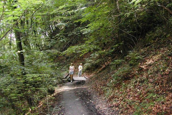
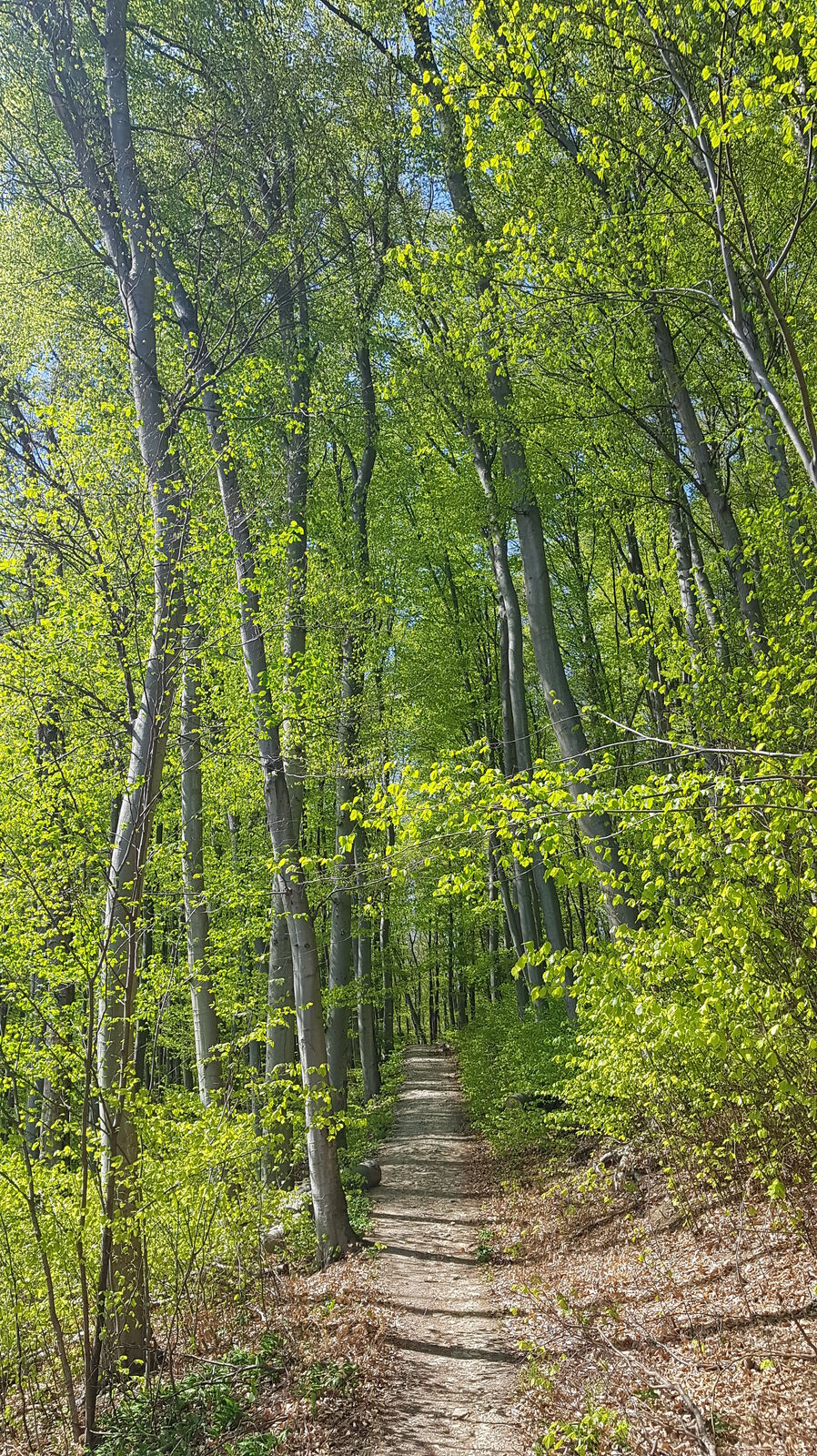
Condiții de traseu
Asfalt
(5)
Pietriş/prundiş/grohotiş
(30)
Livadă/pajişte
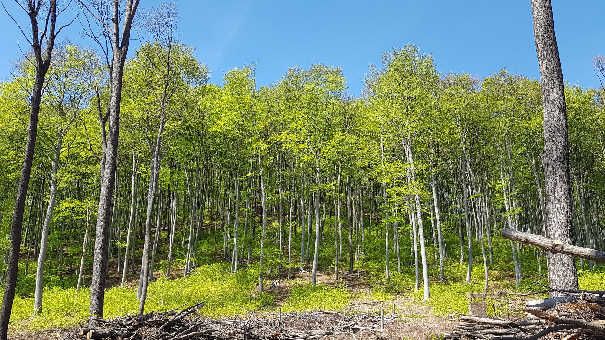
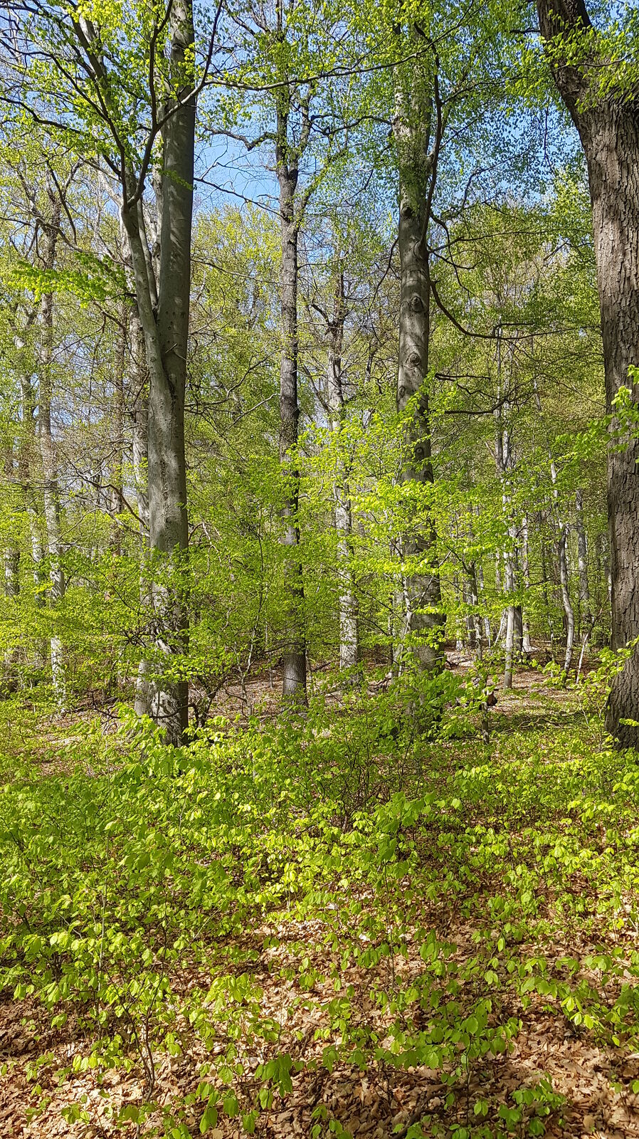
Pădure
(65)
Stâncă
Expus
Mai multe tururi în regiuni
-
Wienerwald
4218
-
Wien und Umgebung
2481
-
Hohe Wand Wiese
1191