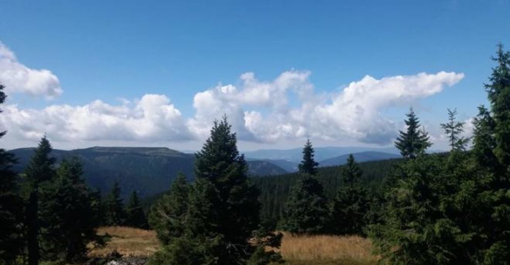
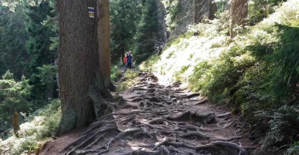
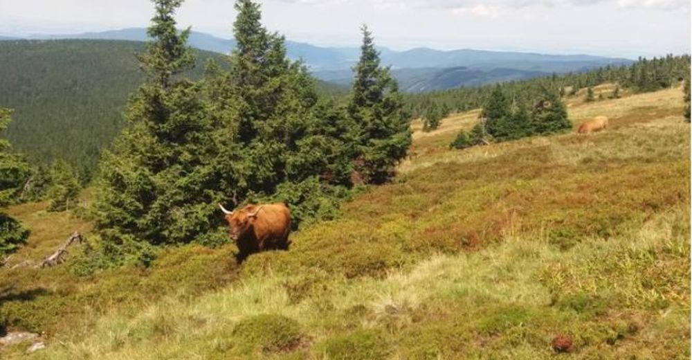
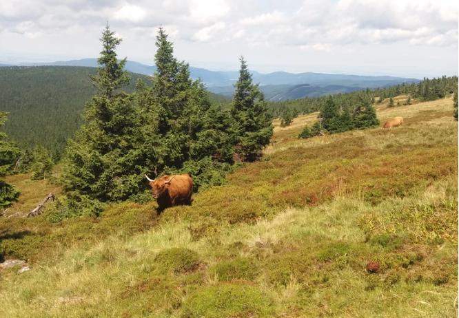
Hiking in the Jeseniky Mountains to reach the peak of Praděd

© https://www.petricazontea.com/blog/weekend-in-jeseniky-mountains - Petrica Zontea
© https://www.petricazontea.com/blog/weekend-in-jeseniky-mountains - Petrica Zontea
© https://www.petricazontea.com/blog/weekend-in-jeseniky-mountains - Petrica Zontea
© https://www.petricazontea.com/blog/weekend-in-jeseniky-mountains - Petrica Zontea

- Scurtă descriere
-
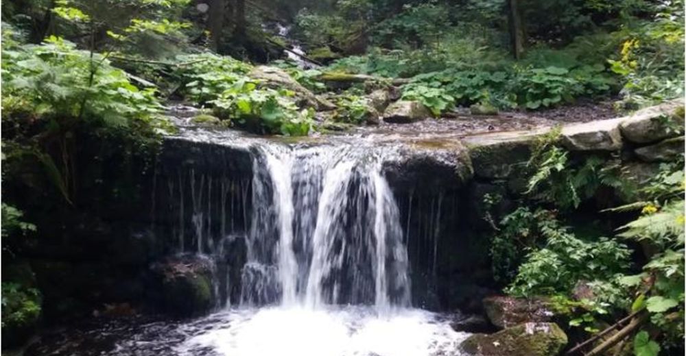
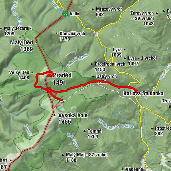
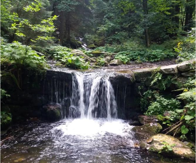
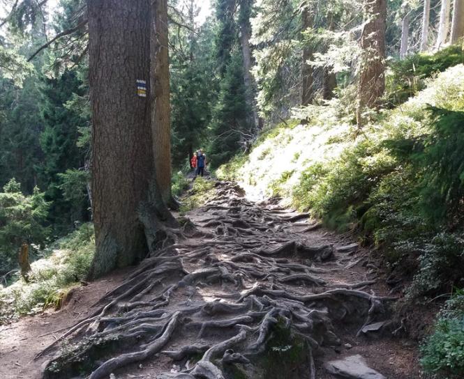
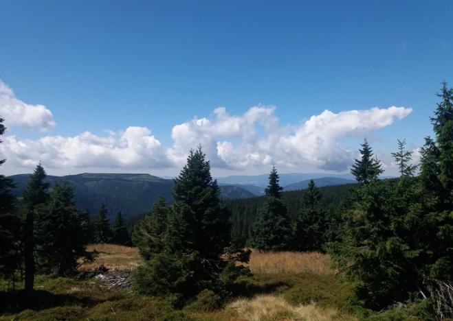
A moderate difficulty hike in the Jeseniky Mountains for the peak of Praděd and downhill along the Bila Opava river with beautiful waterfalls.
- Greutăţi
-
mediu
- Evaluare
-
- Ruta
-
Ovčárna0,2 kmAltvater (1.491 m)3,9 kmPraděd4,0 kmVelký vodopád9,1 kmHubertov12,2 kmumělý vodopád12,4 kmKarlsbrunn12,5 km
- Cel mai bun sezon
-
ianfebmaraprmaiiuniulaugsepoctnovdec
- Cel mai înalt punct
- 1.487 m
- Destinație
-
Karlova Studanka, Hubert car parking (Hubert bus-stop)
- Profil de elevație
-
 © outdooractive.com
- Autor
-
Turul Hiking in the Jeseniky Mountains to reach the peak of Praděd este utilizat de outdooractive.com furnizat.
GPS Downloads


Informaţii generale
Oprire pentru băuturi răcoritoare
Climatul de vindecare
Cultural/Istoric
Promițător
Mai multe tururi în regiuni