© Region Luzern-Vierwaldstättersee - Caroline Pirskanen

© Region Luzern-Vierwaldstättersee - André Meier / Schweiz Tourismus

- Scurtă descriere
-
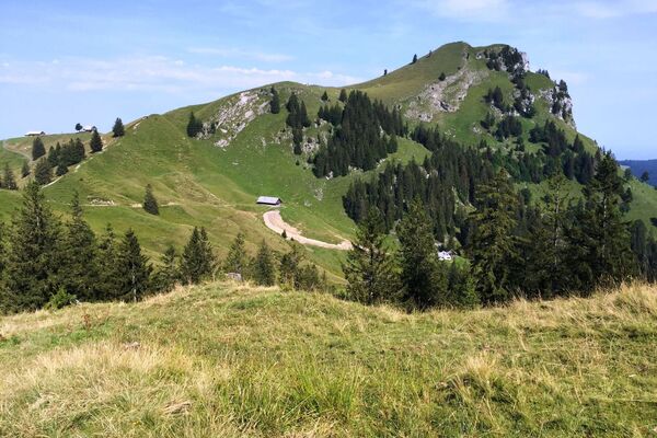
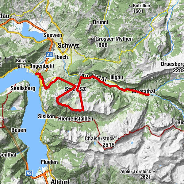
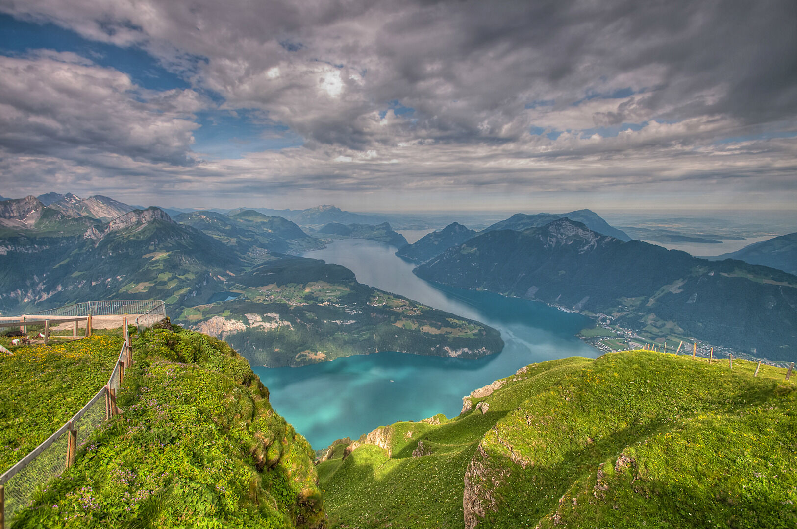
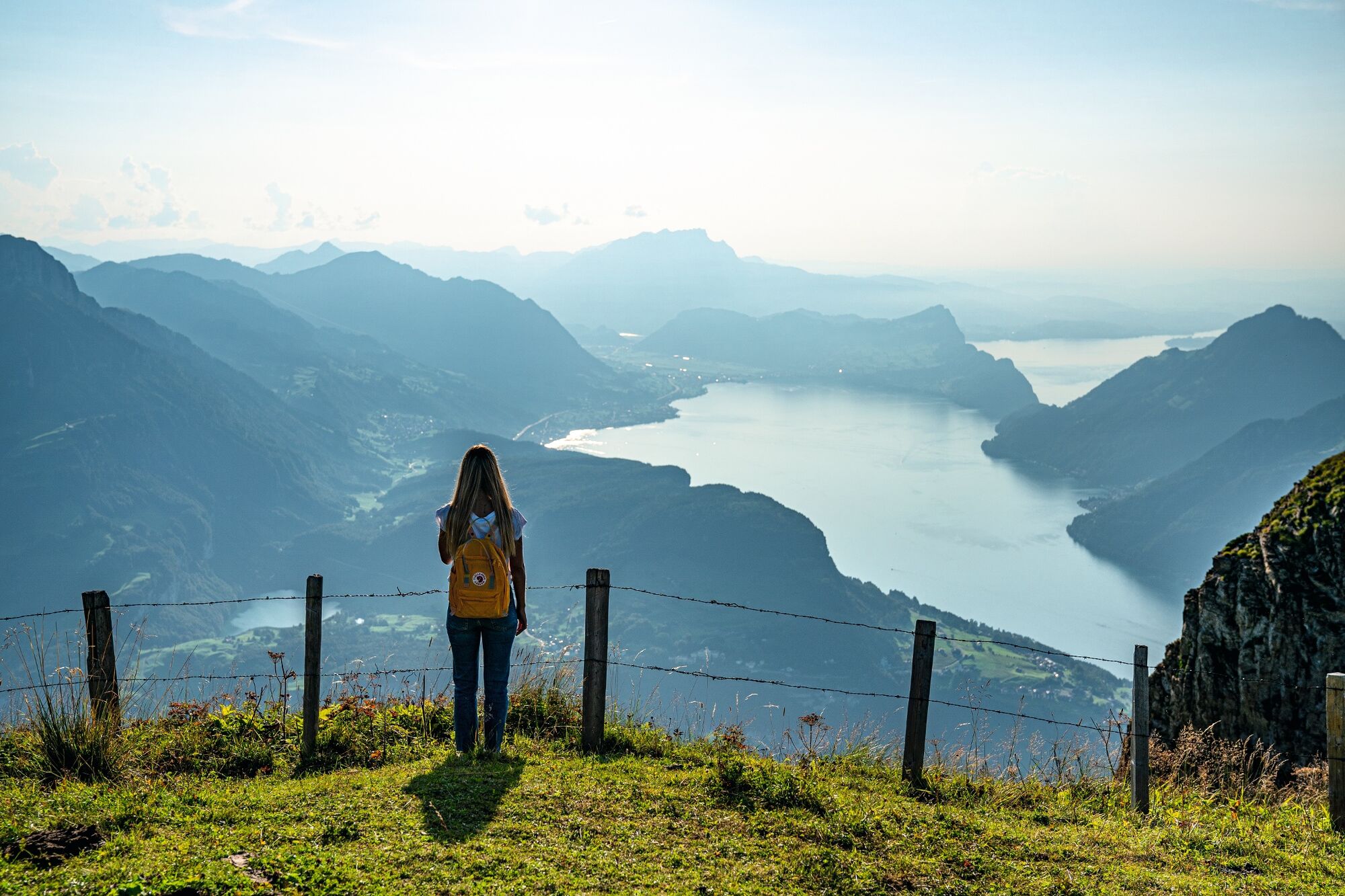
The second stage of the Tell Trail leads from the Muotathal valley to the mountain village of Stoos. Then it's a ridge walk from the Klingenstock to the Fronalpstock, over the Schwyzerhöhe to Brunnen.
- Greutăţi
-
mediu
- Evaluare
-
- Ruta
-
Muotathal0,8 kmSelgis Restaurant7,6 kmStoos (Stoosbahn) (1.306 m)10,3 kmStoos SZ (1.305 m)10,5 kmKlingenstock11,5 kmKlingenstock13,3 kmKlingenstock (1.935 m)13,4 kmRot Turm (1.893 m)13,9 kmHuser Stock (1.904 m)15,6 kmFurggelenbirg (1.837 m)15,9 kmFurggelen16,5 kmFurggeli-Hütte16,5 kmFurggeli16,5 kmFronalpstock (1.920 m)17,6 kmFronalpstock (1.735 m)17,7 kmMettlen (Stoos)17,8 kmBödmeren19,0 kmMettlen (Fronalpstock)19,5 kmMettlen19,5 kmStoos (Mettlen/Fronalpstock)20,1 kmStoos SZ (1.305 m)20,2 kmTalstation Morschach (645 m)22,6 kmNägelisgärtli23,0 kmFyrabigbeizli Nägelisgärtli23,3 kmLourdesgrotte24,8 kmMorschach25,1 kmAxenstein25,9 kmChänzeli27,0 kmNothelferkapelle28,0 kmBundeskapelle28,1 kmBrunnen28,1 kmLandungssteg SGV Brunnen28,1 km
- Cel mai bun sezon
-
ianfebmaraprmaiiuniulaugsepoctnovdec
- Cel mai înalt punct
- 1.924 m
- Destinație
-
Brunnen, landing stage
- Profil de elevație
-
 © outdooractive.com
- Autor
-
Turul Tell Trail stage 2: Muotathal - Brunnen este utilizat de outdooractive.com furnizat.
GPS Downloads


Informaţii generale
Oprire pentru băuturi răcoritoare
Mai multe tururi în regiuni
-
Schwyz
1748
-
Mythenregion
899
-
Stoos
340