- Scurtă descriere
-
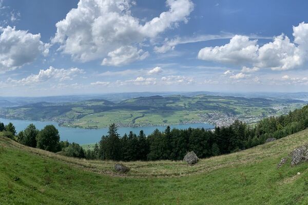
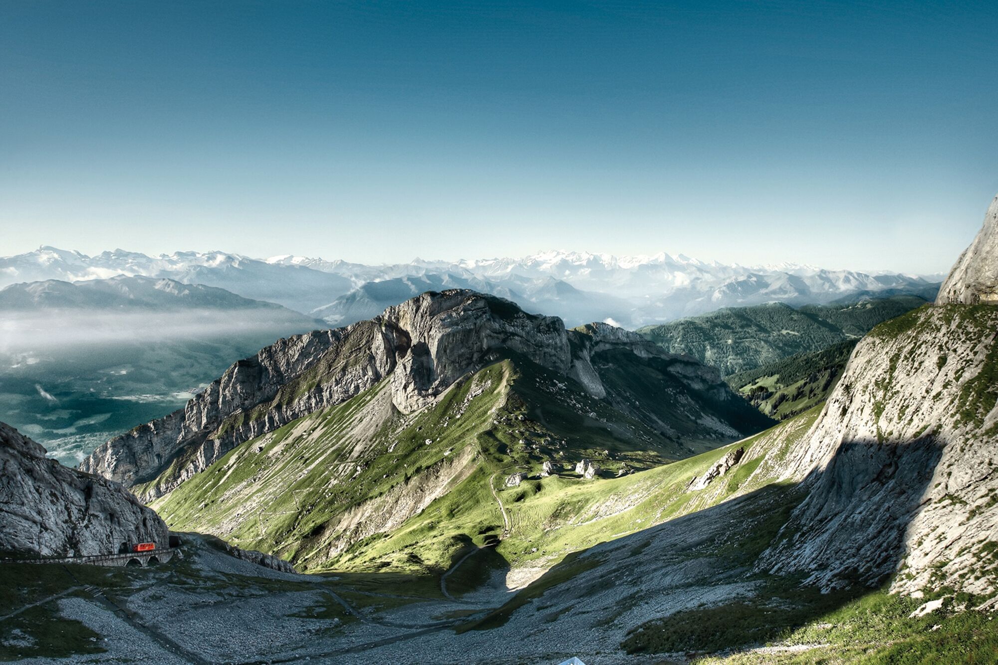
Impressive rocks, a breathtaking panorama and all kinds of wild streams are guaranteed on this hike.
- Greutăţi
-
mediu
- Evaluare
-
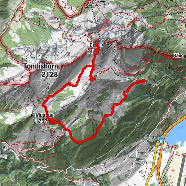
- Ruta
-
Oberhaupt (2.106 m)0,0 kmPilatus Kulm (2.132 m)0,1 kmPilatus Kulm0,2 kmEsel (2.118 m)0,2 kmMatthorn (2.041 m)1,8 kmChretzenalp8,0 km
- Cel mai înalt punct
- 2.046 m
- Profil de elevație
-
 © outdooractive.com
-

-
AutorTurul Pilatus - (Matthorn) - Fräkmünt - Ämsigen este utilizat de outdooractive.com furnizat.
GPS Downloads


Mai multe tururi în regiuni
-
Luzern und Umgebung
1710
-
Melchsee - Frutt
861
-
Alpnach
219