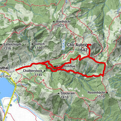
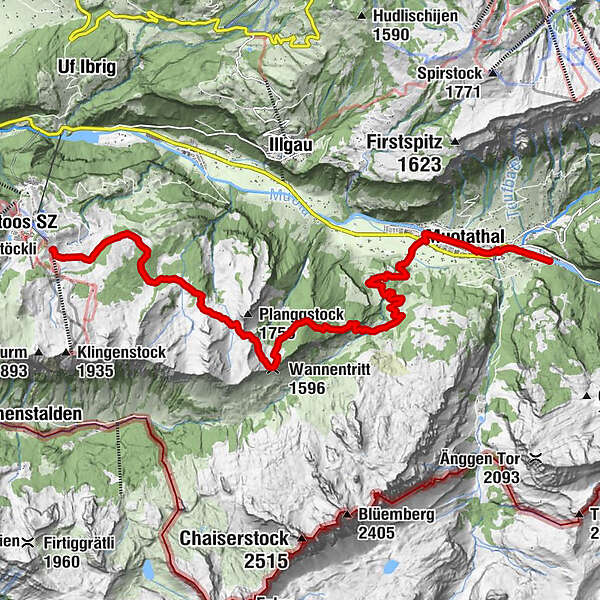
Stage: Muotathal - Wannentritt - Stoos | Schwyz valley & summit tour

© Schwyz Tourismus

© Schwyz Tourismus

© erlebniswelt muotathal

- Scurtă descriere
-
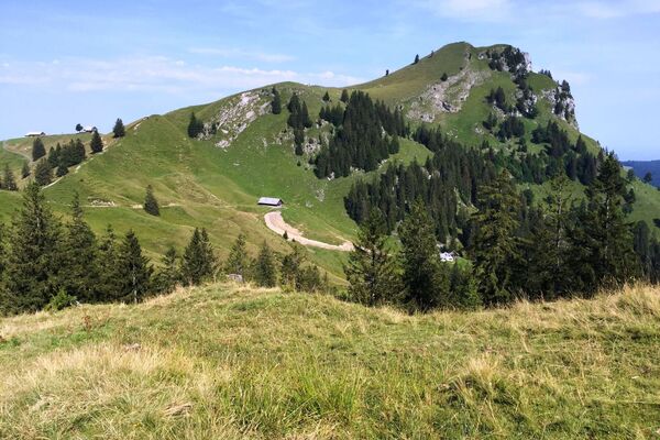
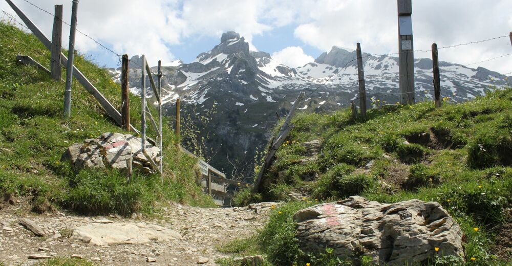
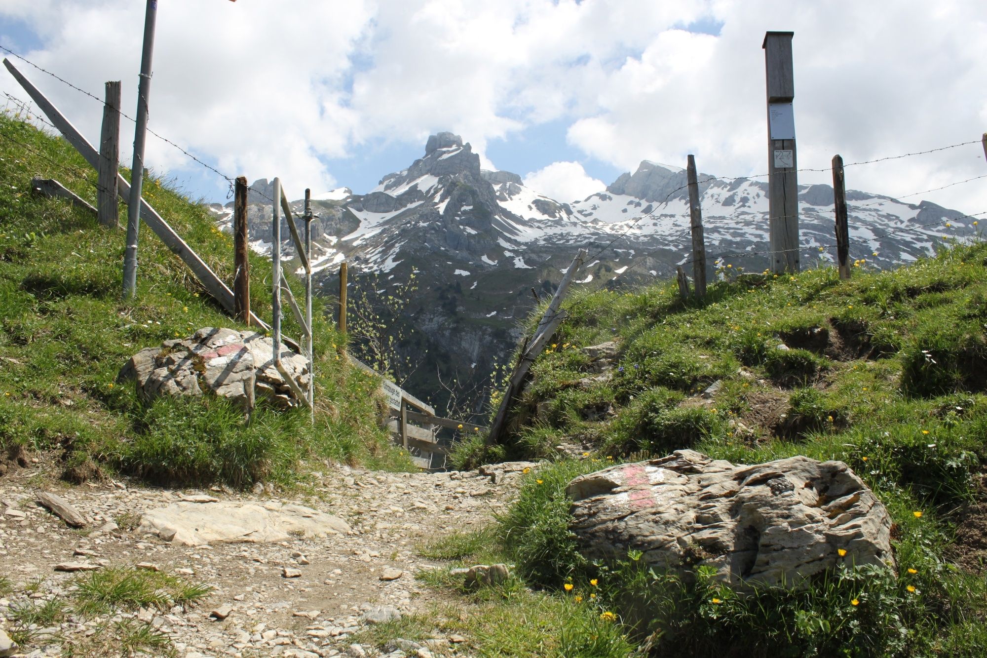
This section leads you along safe paths through the unspoilt natural scenery of the Muota Valley to the small Wannentritt vantage point with a magnificent view of the Chaiserstock mountain range. Passing numerous alpine farms and pastures, you reach the small mountain village of Stoos.
- Greutăţi
-
greu
- Evaluare
-
- Ruta
-
Muotathal1,7 kmHöch Weidli7,3 kmWannentritt (1.596 m)9,5 km
- Cel mai bun sezon
-
ianfebmaraprmaiiuniulaugsepoctnovdec
- Cel mai înalt punct
- 1.613 m
- Destinație
-
Stoos
- Profil de elevație
-
 © outdooractive.com


- Autor
-
Turul Stage: Muotathal - Wannentritt - Stoos | Schwyz valley & summit tour este utilizat de outdooractive.com furnizat.
GPS Downloads


Informaţii generale
Oprire pentru băuturi răcoritoare
Promițător
Mai multe tururi în regiuni
-
Schwyz
1748
-
Mythenregion
899
-
Illgau
294