
- Scurtă descriere
-
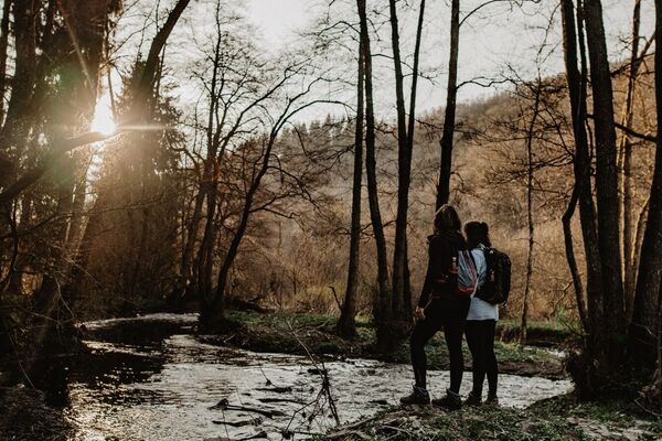
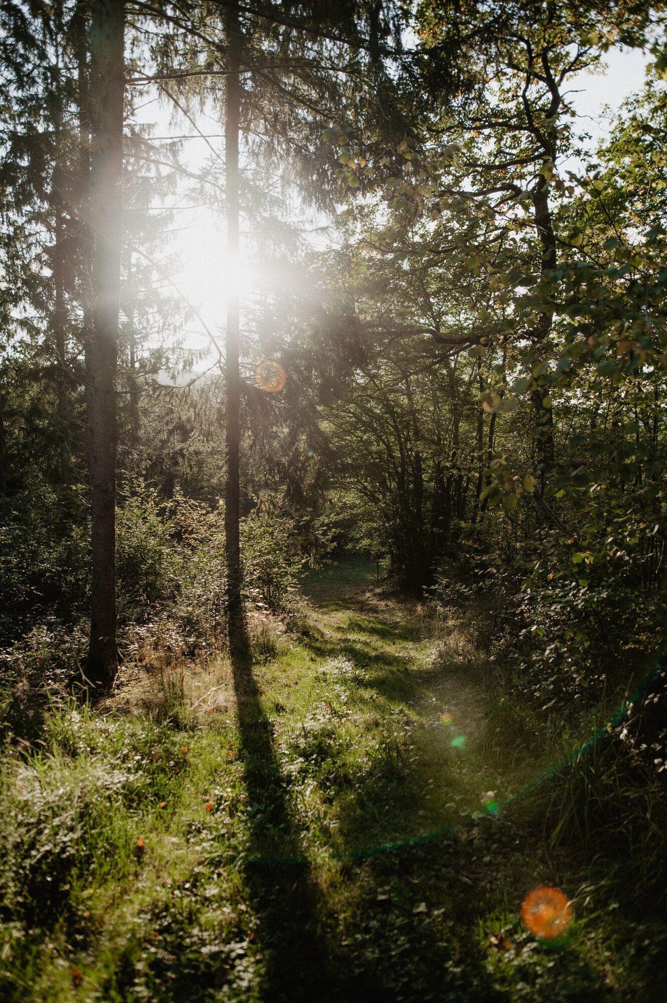
The variety of themed trails not only shows you the beautiful natural landscapes of the region, but also provides information on a wide range of topics.
- Greutăţi
-
mediu
- Evaluare
-
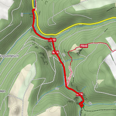
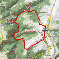
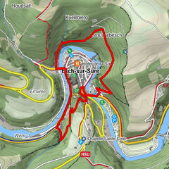
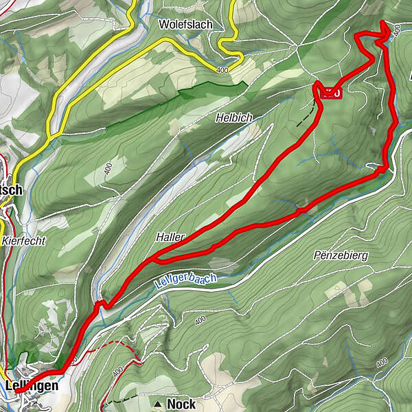
- Ruta
-
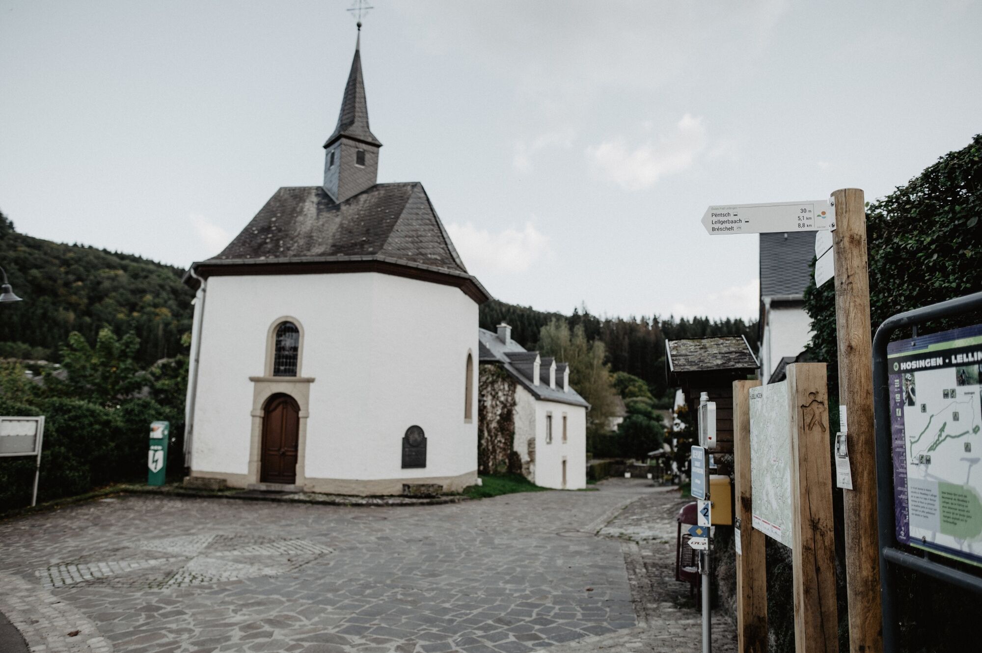
Chapelle Saint-Pierre0,0 kmLellingen0,1 kmLellingen7,3 kmChapelle Saint-Pierre7,4 km
- Cel mai bun sezon
-
ianfebmaraprmaiiuniulaugsepoctnovdec
- Cel mai înalt punct
- 447 m
- Destinație
-
Lellingen
- Profil de elevație
-
 © outdooractive.com
- Autor
-
Turul Via Botanica este utilizat de outdooractive.com furnizat.
GPS Downloads


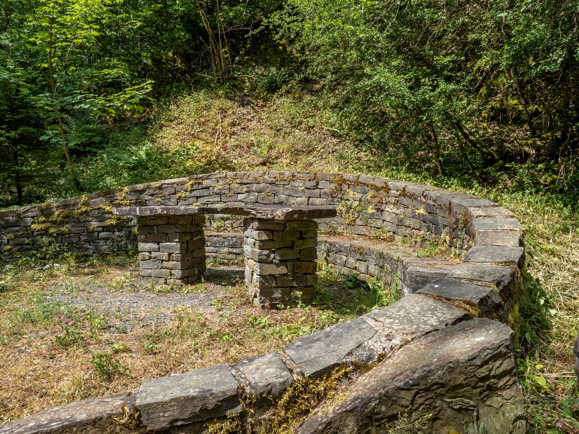
Informaţii generale
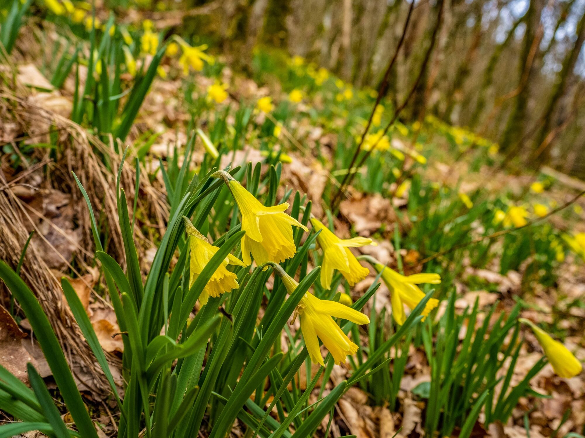
Flora
Fauna
Promițător
Mai multe tururi în regiuni