
- Scurtă descriere
-
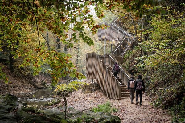
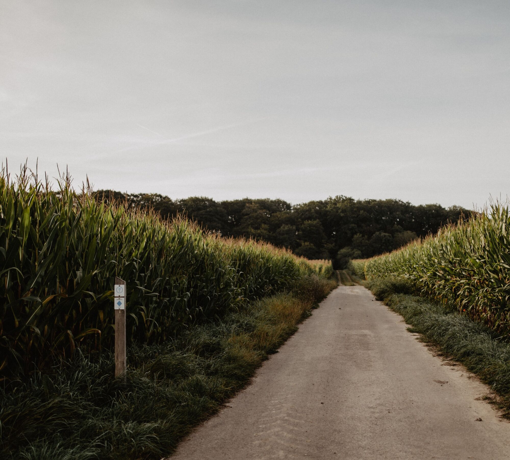
These traditional hiking trails, created by the Ministry of Economy, can be found all over Luxembourg. There are 43 of them in the Éislek region. You can easily reach their starting points by car. The Auto-Pédestre trails complement the other circular trails in the Éislek region perfectly.
- Greutăţi
-
mediu
- Evaluare
-
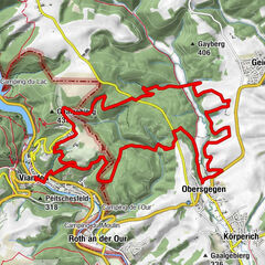
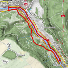
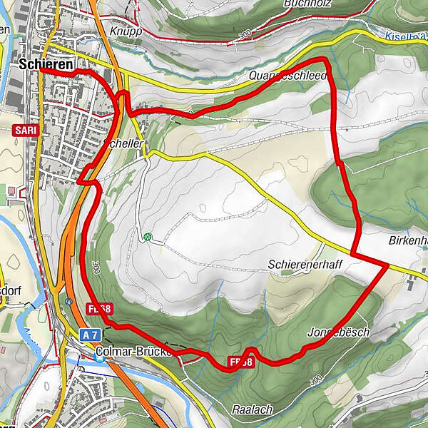
- Ruta
-
Gran SassoSchieren0,0 kmSaint-Blaise0,0 kmColmar-Brücke5,0 kmSchieren7,3 kmSaint-Blaise7,3 kmGran Sasso7,4 km
- Cel mai bun sezon
-
ianfebmaraprmaiiuniulaugsepoctnovdec
- Cel mai înalt punct
- 356 m
- Destinație
-
79 Route de Luxembourg
- Profil de elevație
-
 © outdooractive.com
- Autor
-
Turul Auto-Pédestre trail Schieren este utilizat de outdooractive.com furnizat.
GPS Downloads


Informaţii generale
Promițător
Mai multe tururi în regiuni
-
Guttland
412
-
Ettelbruck
161