© Visit Luxembourg - Mireille Scheid

© Visit Luxembourg - Mireille Scheid

© Visit Luxembourg - Mireille Scheid

© Visit Luxembourg - Mireille Scheid

© Visit Luxembourg - Mireille Scheid

© Visit Luxembourg - Mireille Scheid

© Visit Luxembourg - Mireille Scheid


- Scurtă descriere
-
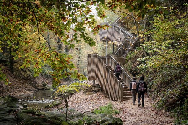
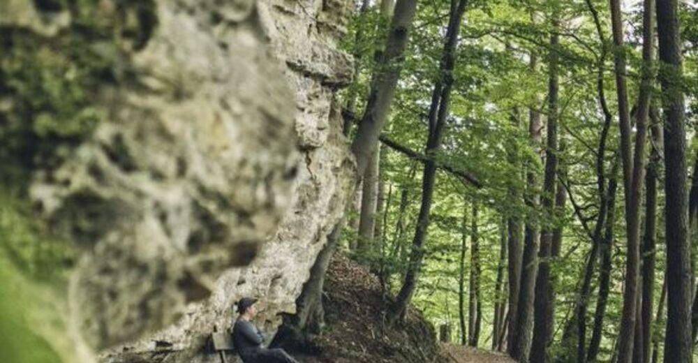
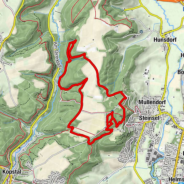
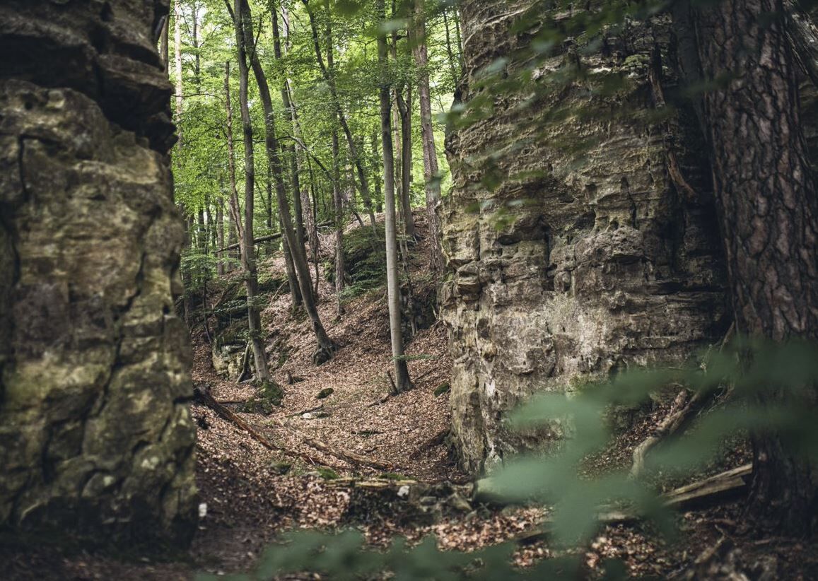
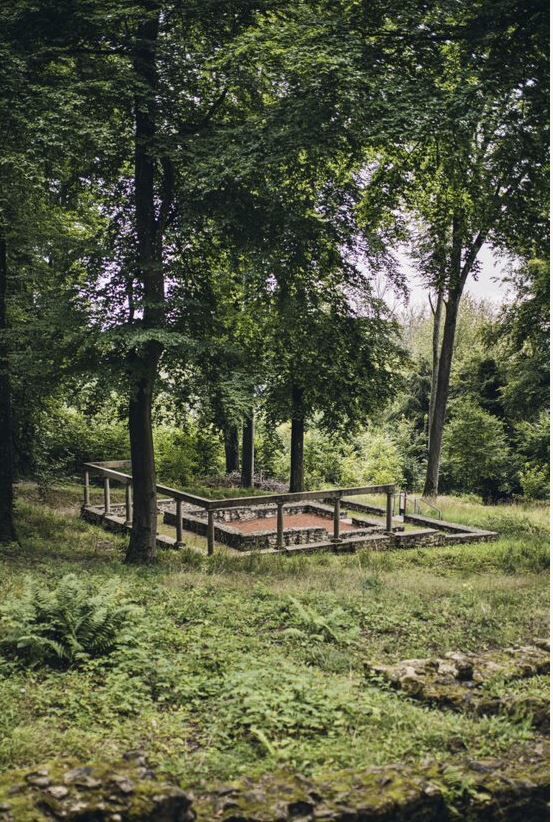
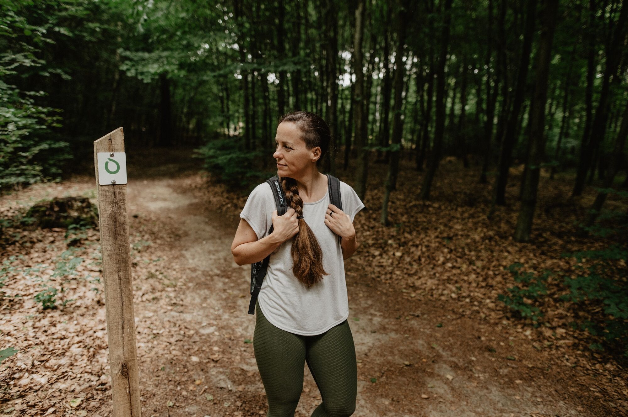
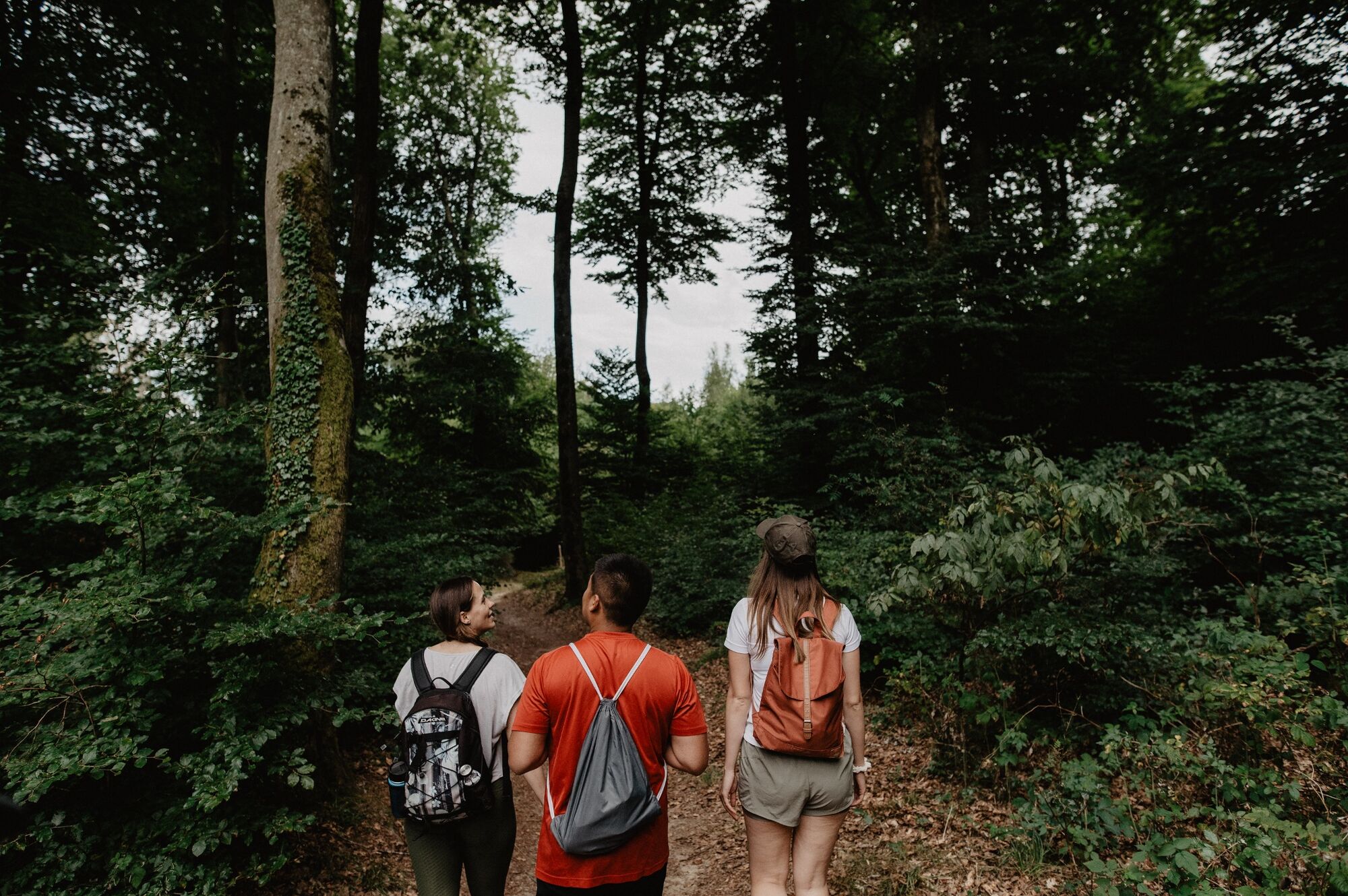
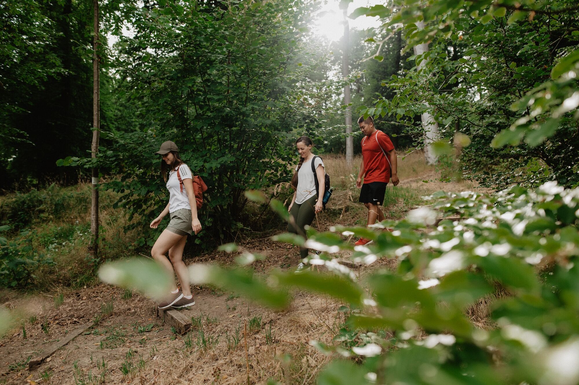
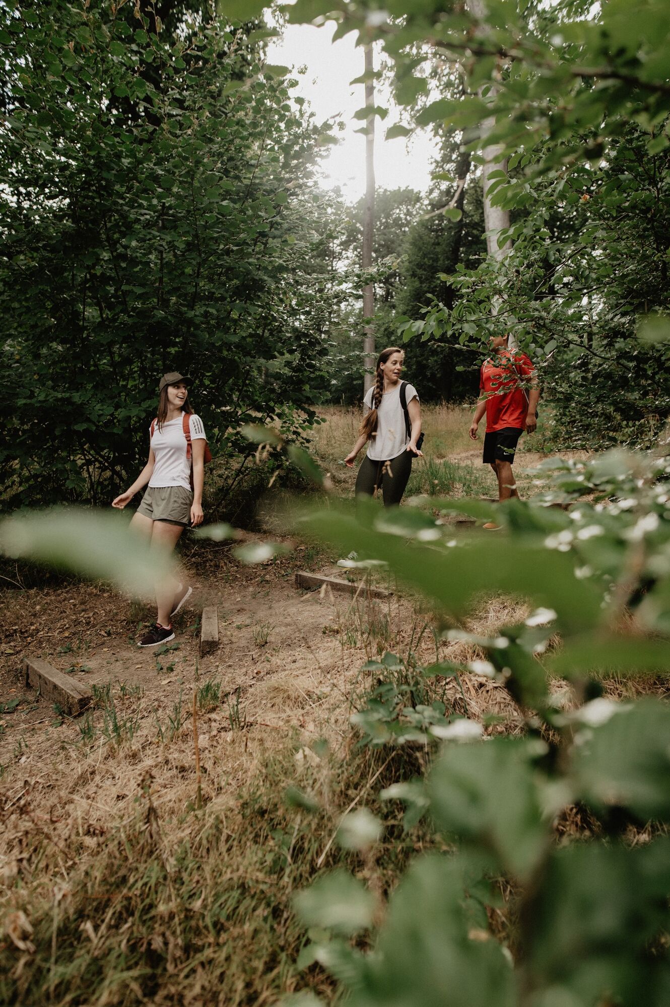
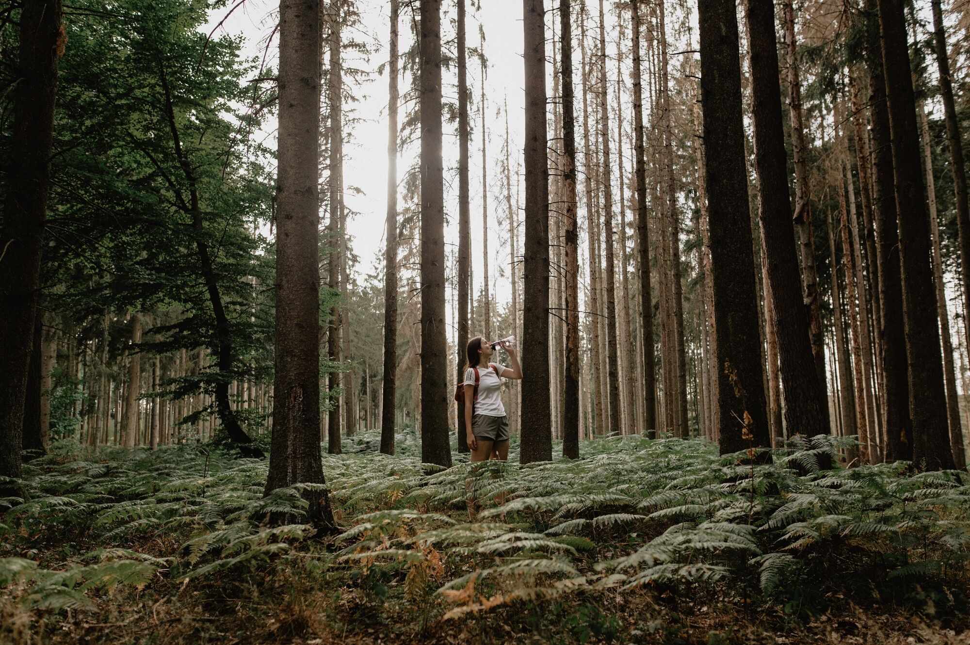
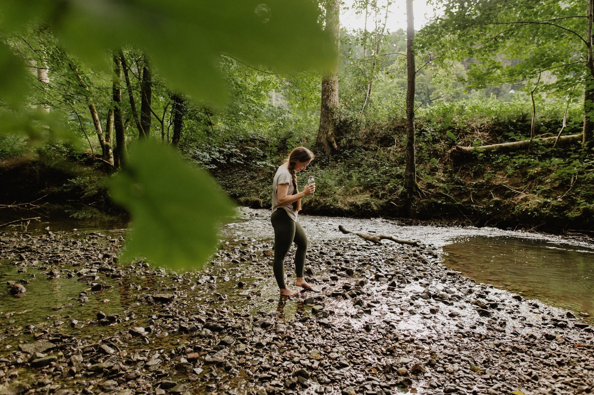
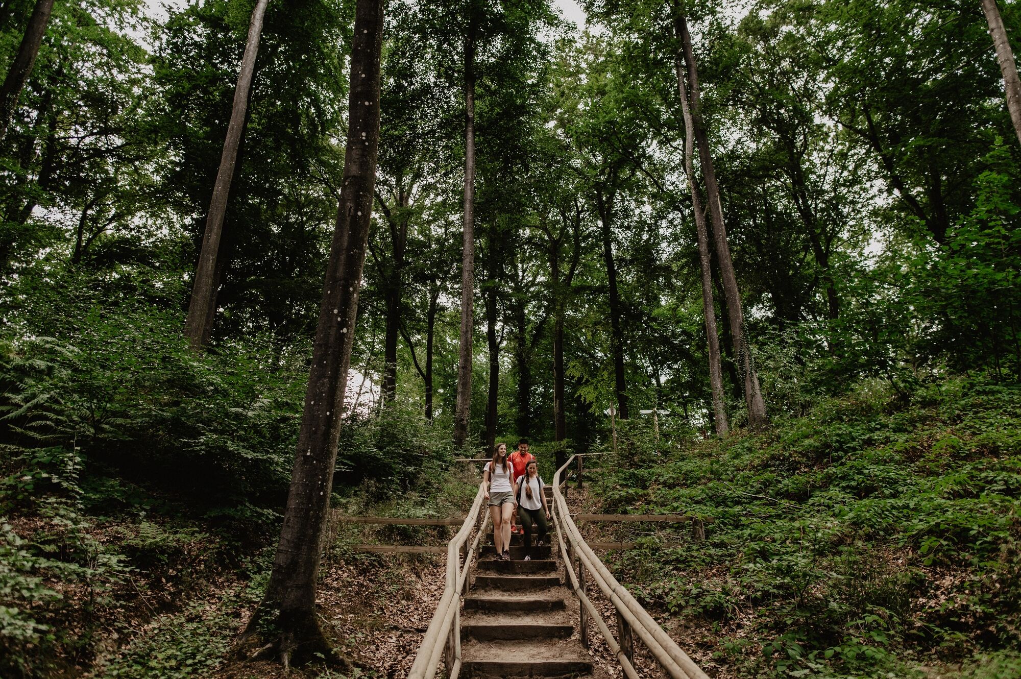
Magnificent forests, rock formations and wide fields. The silence along the historical remains of the Roman temples to the banks of the river Mamer makes you forget everyday life!
- Greutăţi
-
mediu
- Evaluare
-
- Ruta
-
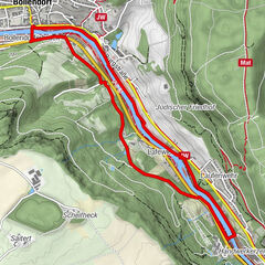
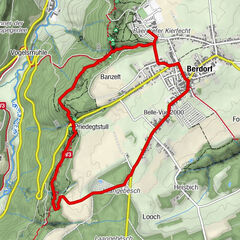
Hënneschte Bësch4,3 kmSchreideschröndchen5,2 kmDirendall5,7 km
- Cel mai bun sezon
-
ianfebmaraprmaiiuniulaugsepoctnovdec
- Cel mai înalt punct
- 394 m
- Destinație
-
Forest playground Steinsel
- Profil de elevație
-
 © outdooractive.com


- Autor
-
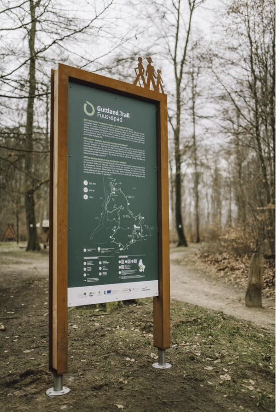
Turul Guttland.Trail Fuussepad este utilizat de outdooractive.com furnizat.
GPS Downloads


Informaţii generale
Cultural/Istoric
Flora
Fauna
Promițător
Mai multe tururi în regiuni