High-altitude tour: Nenzinger Himmel – Pfälzer Hütte – Augstenberg

© Bodensee-Vorarlberg Tourismus GmbH - Erich Zucchali / www.guideservice.at
© www.guideservice.at - Erich Zucalli
© www.guideservice.at - Erich Zucalli
© www.guideservice.at - Erich Zucalli
© www.guideservice.at - Erich Zucalli
© www.guideservice.at - Erich Zucalli
© www.guideservice.at - Erich Zucalli
© www.guideservice.at - Erich Zucalli
© www.guideservice.at - Erich Zucalli
© www.guideservice.at - Erich Zucalli

- Scurtă descriere
-
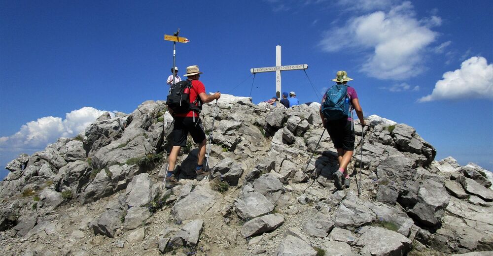
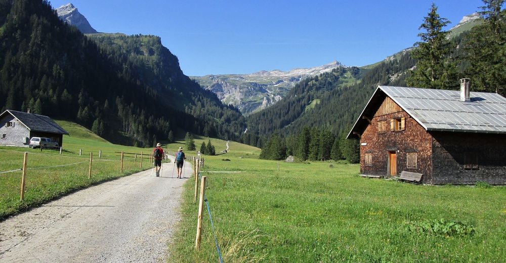
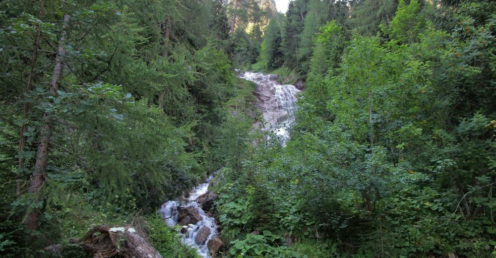
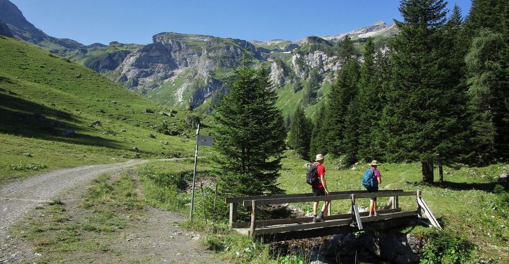
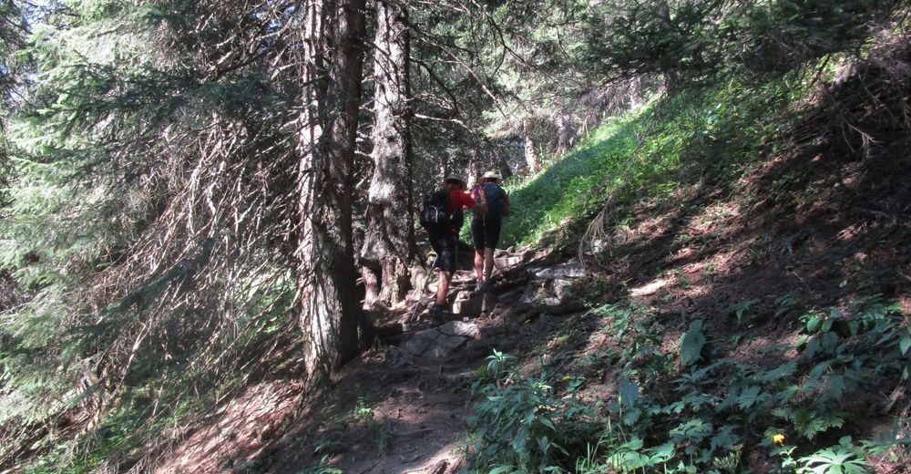
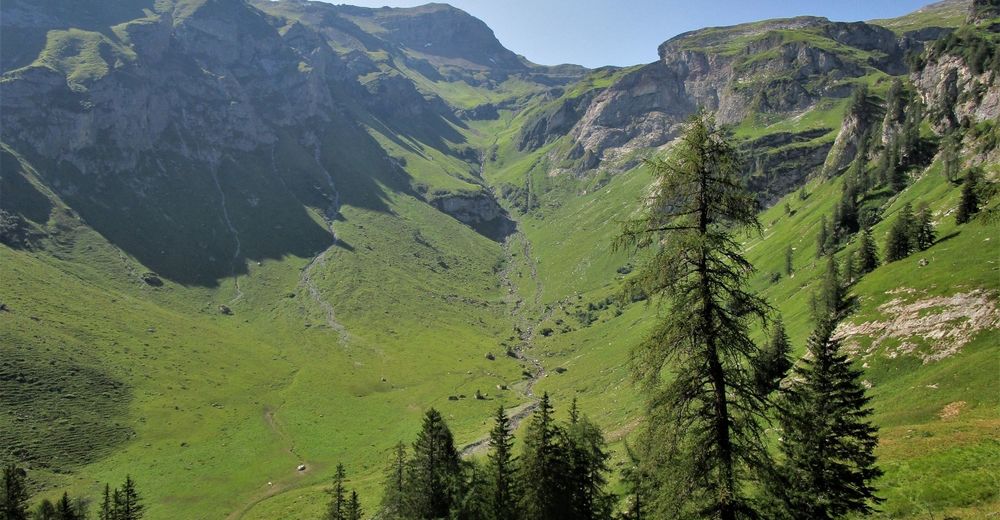
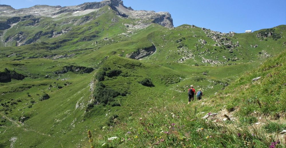
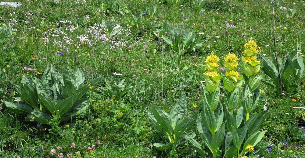
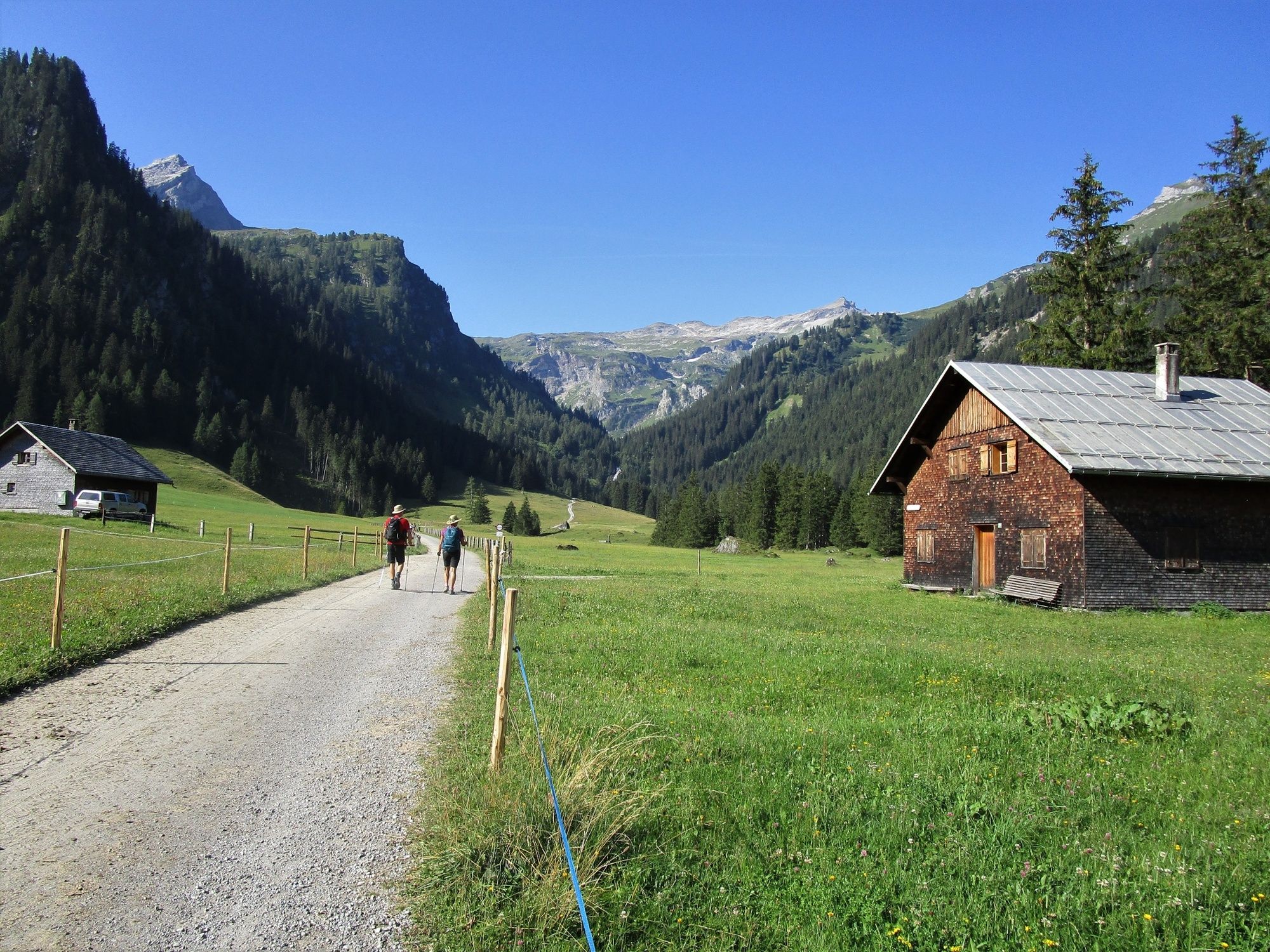
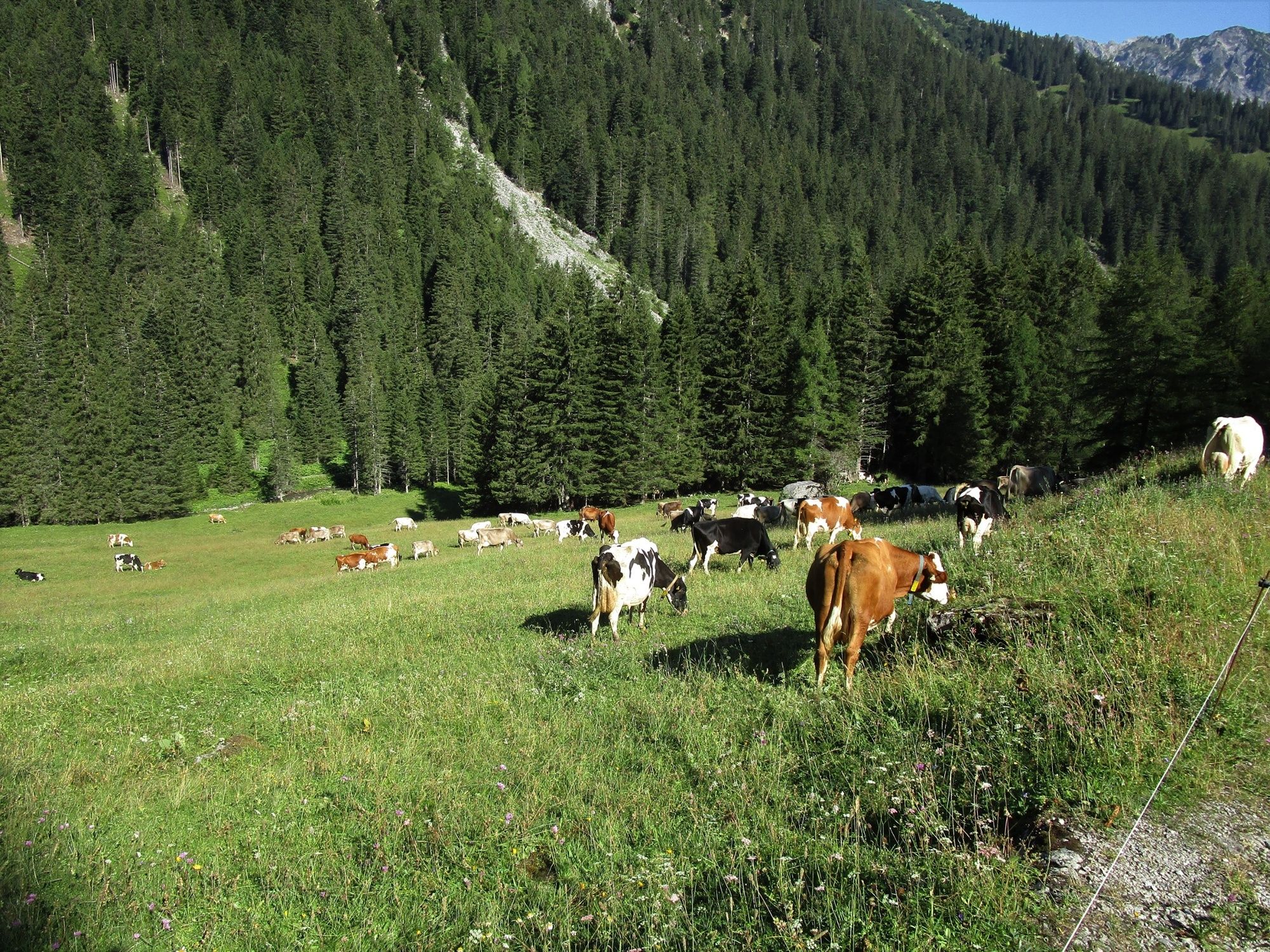
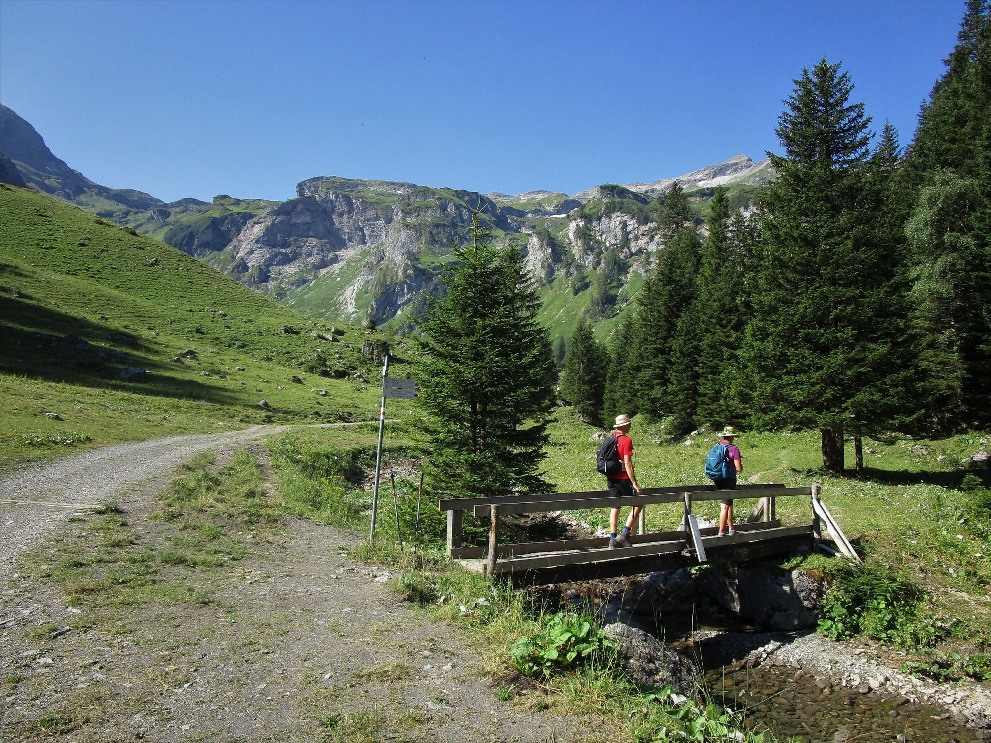
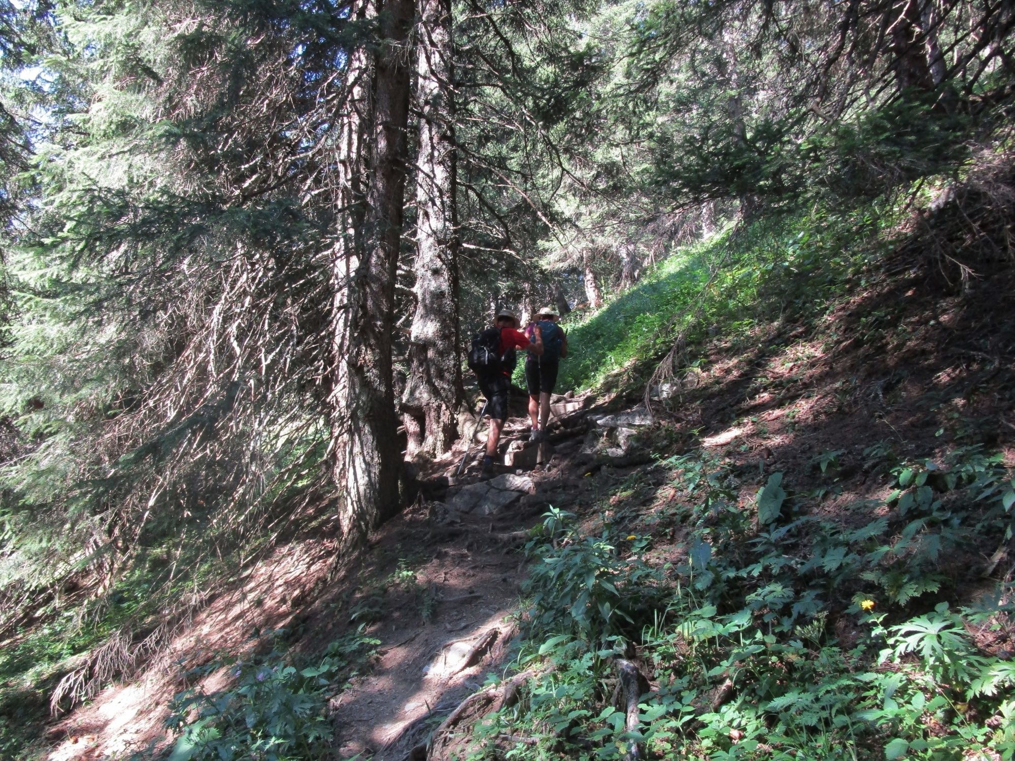
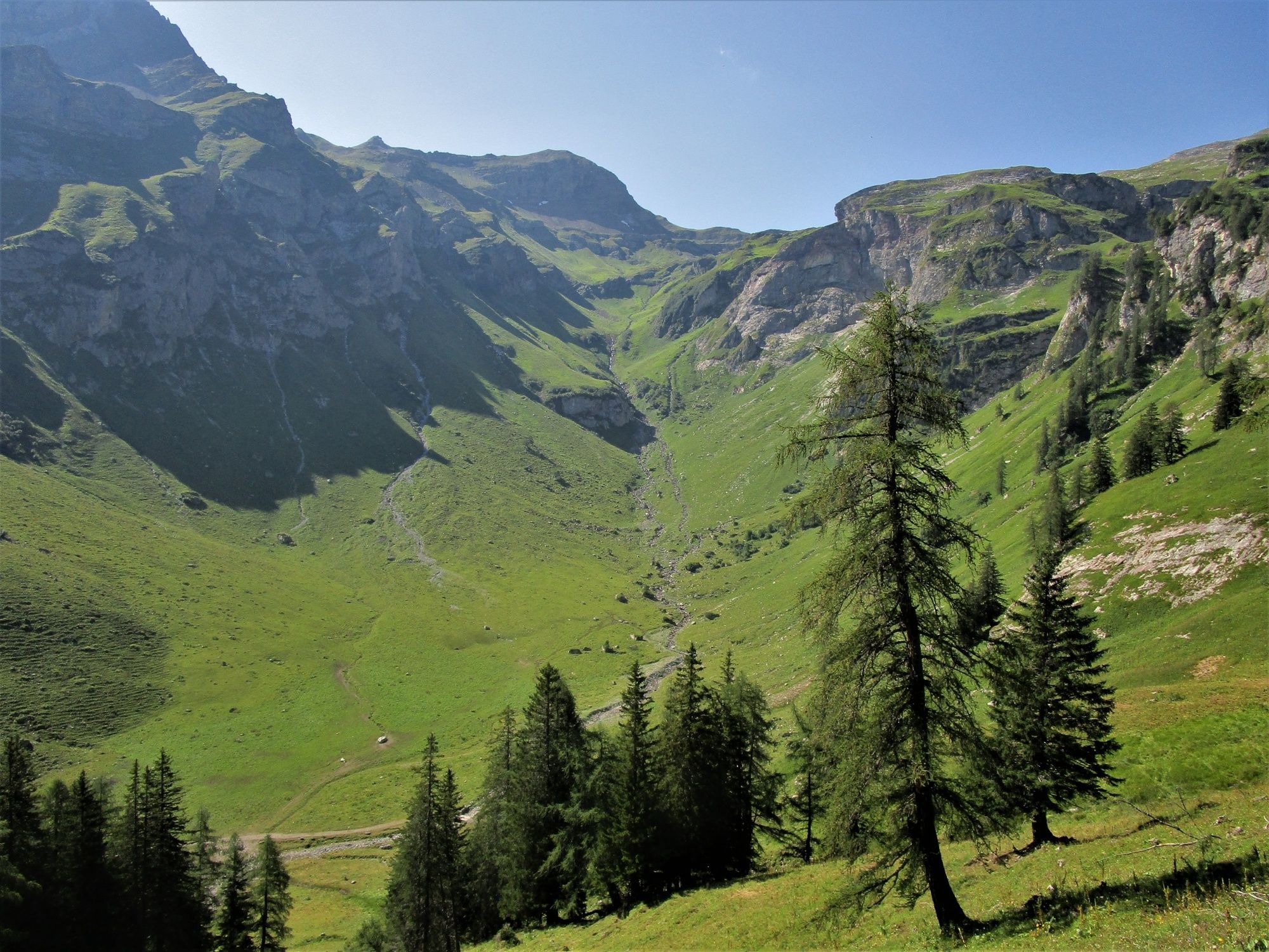
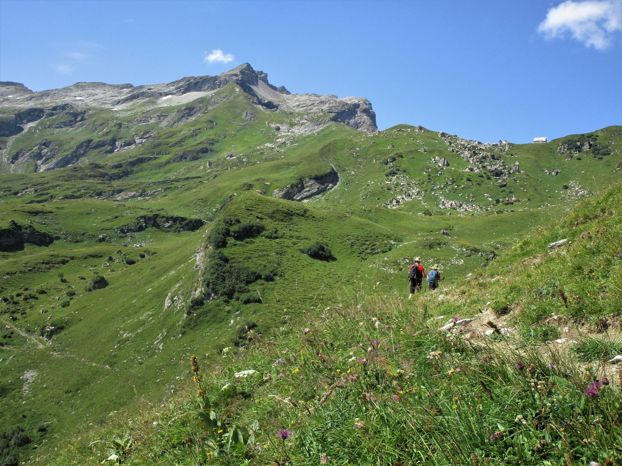
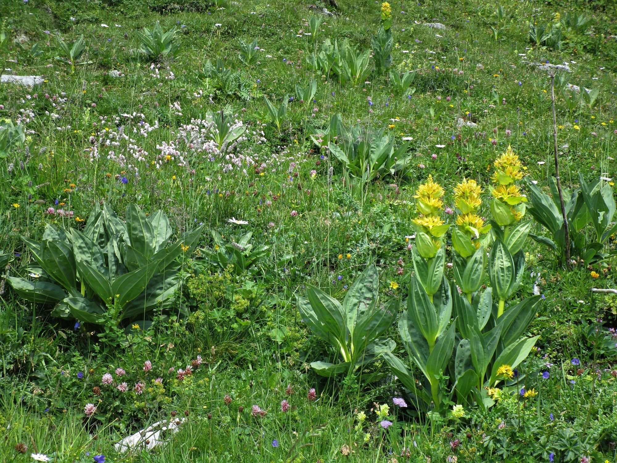
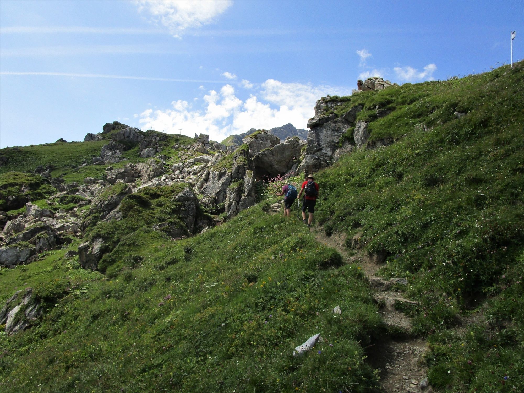
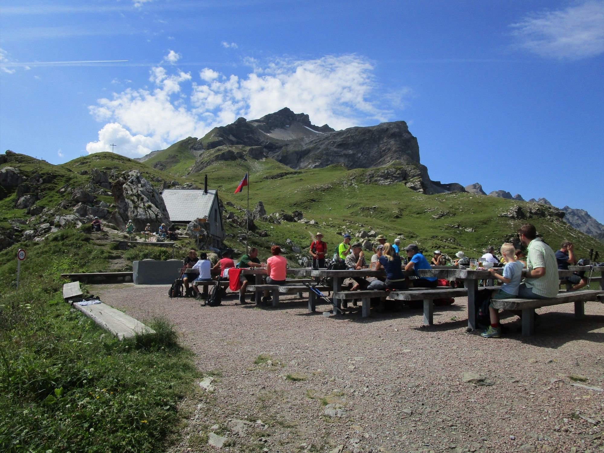
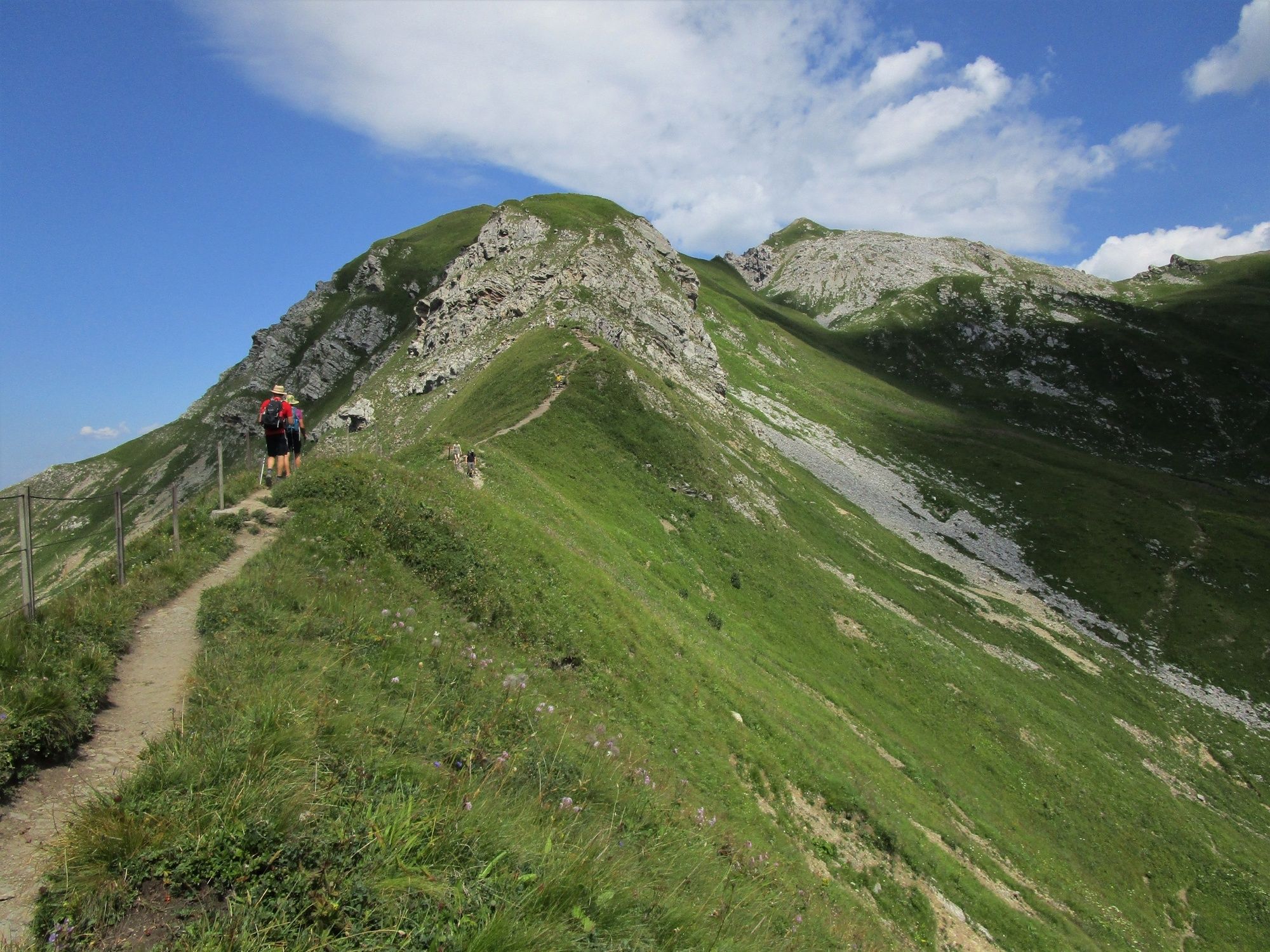
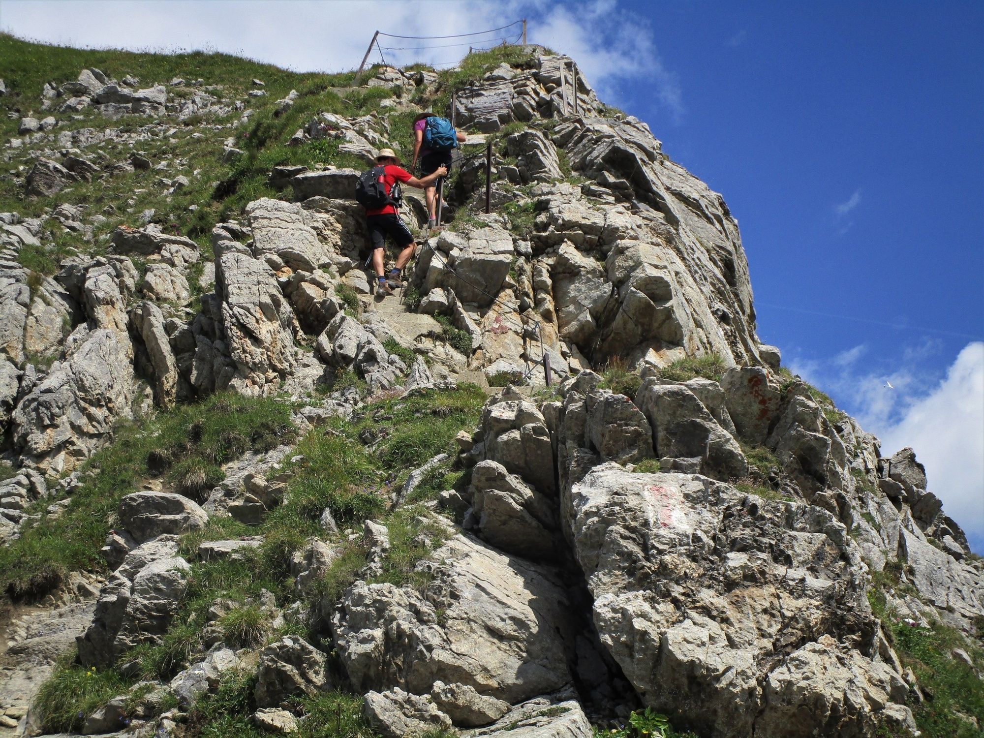
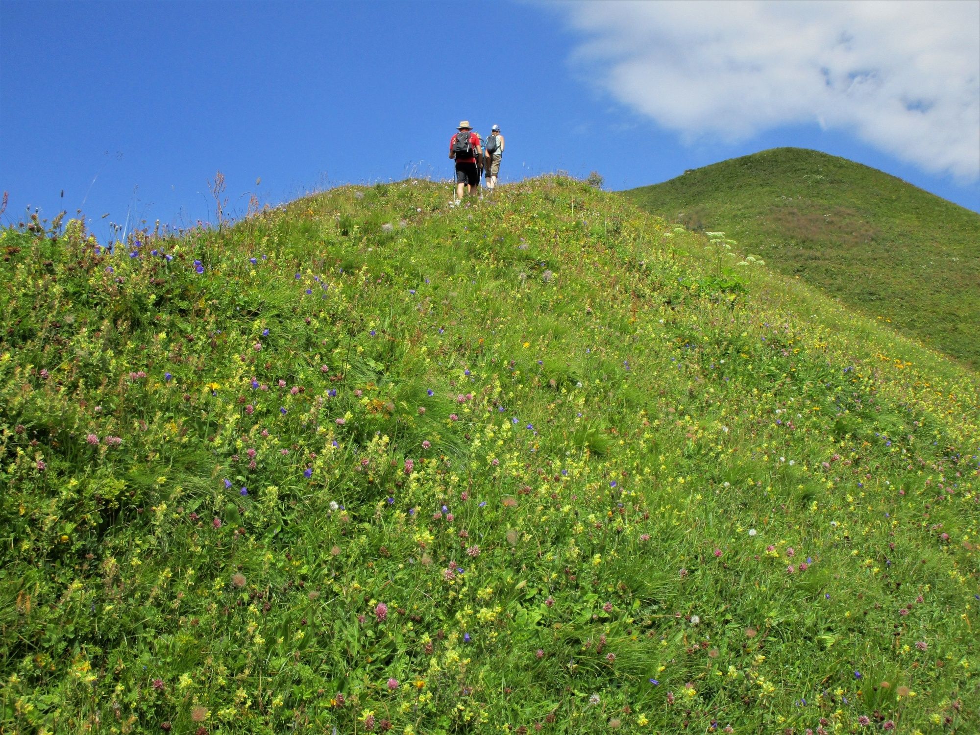
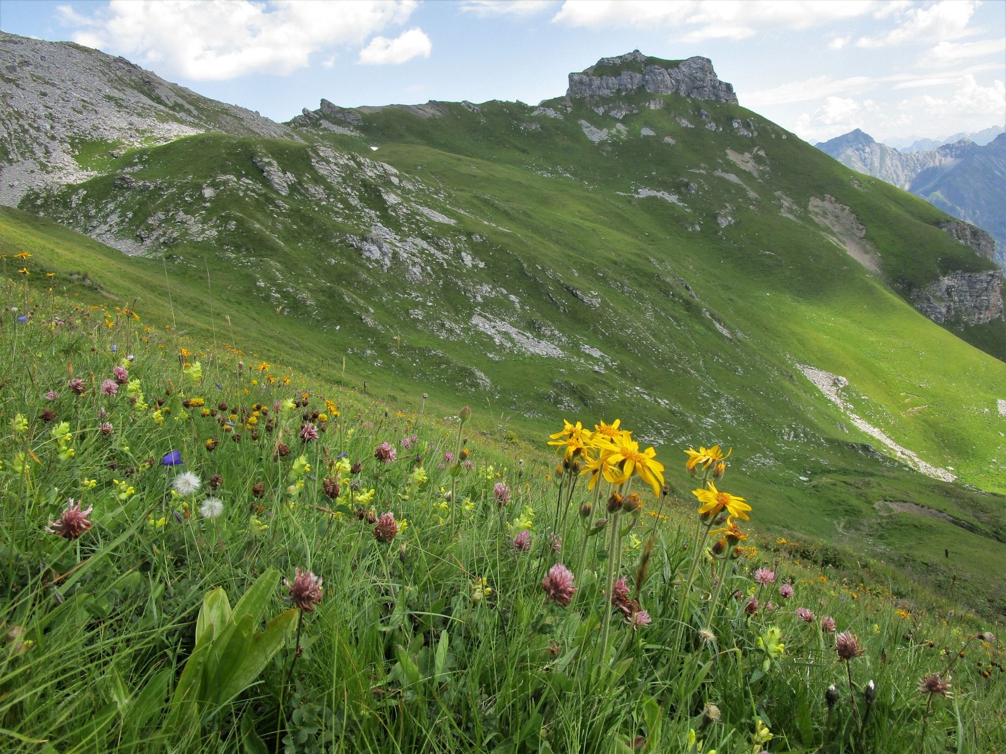
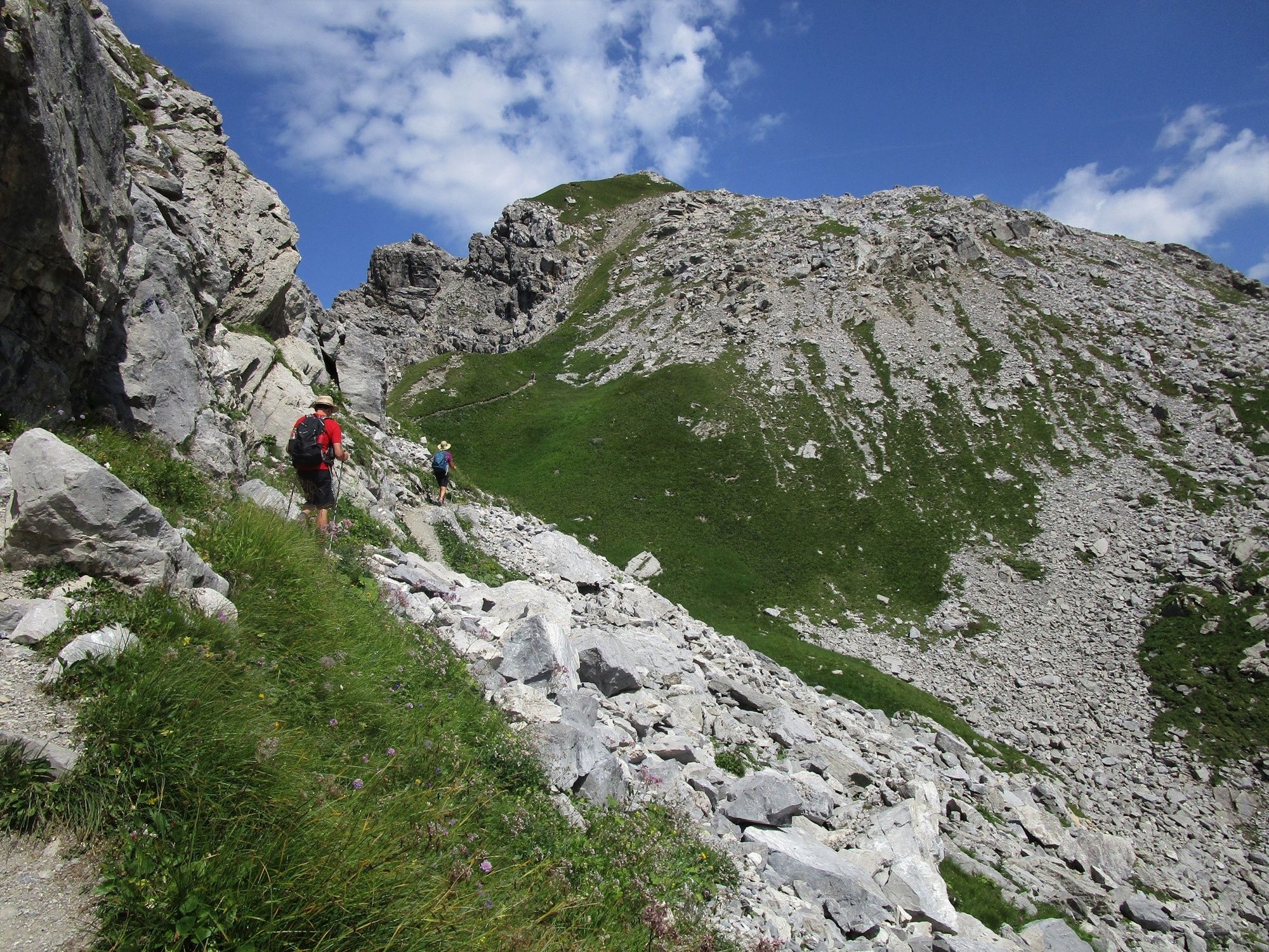
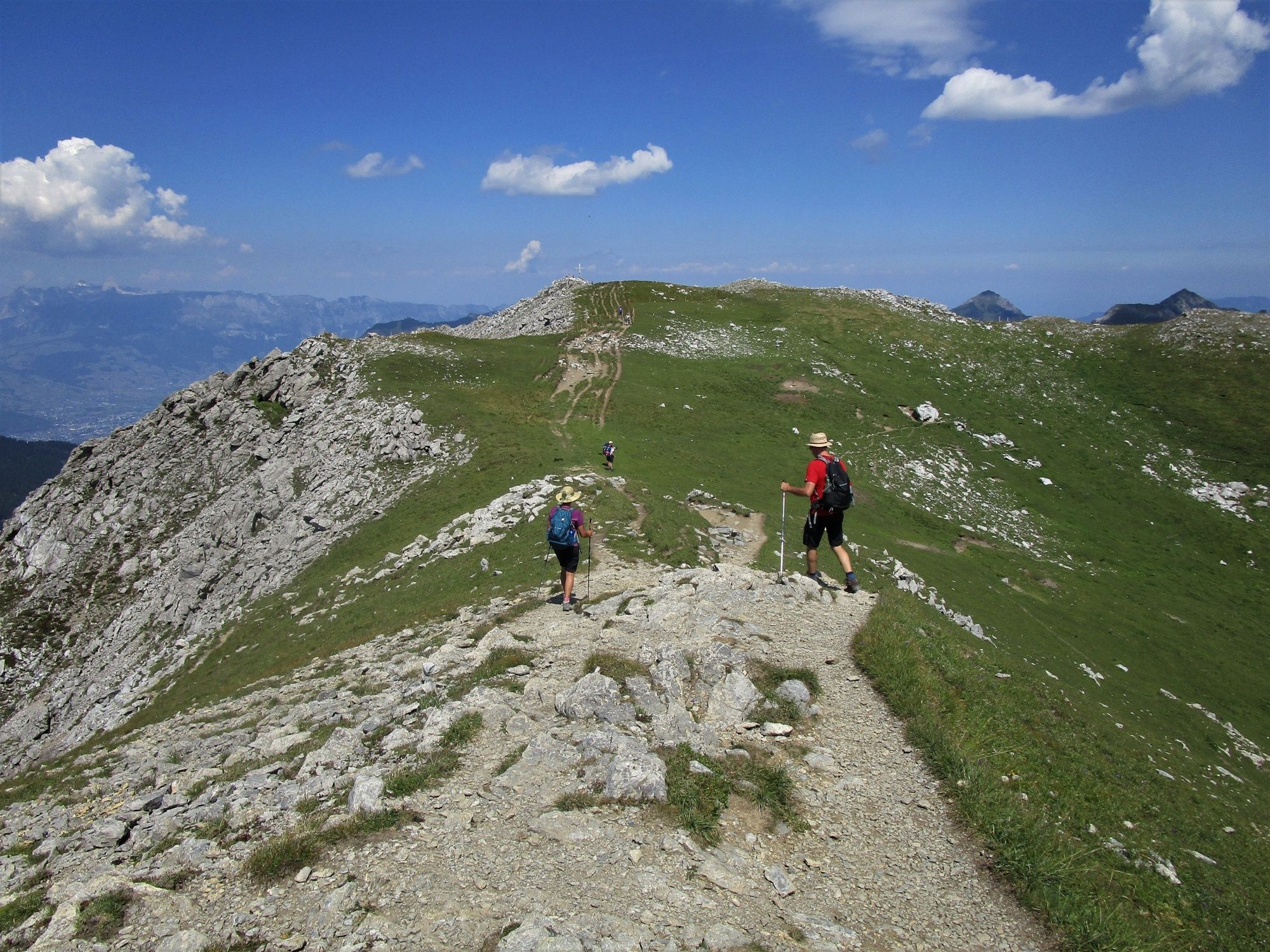
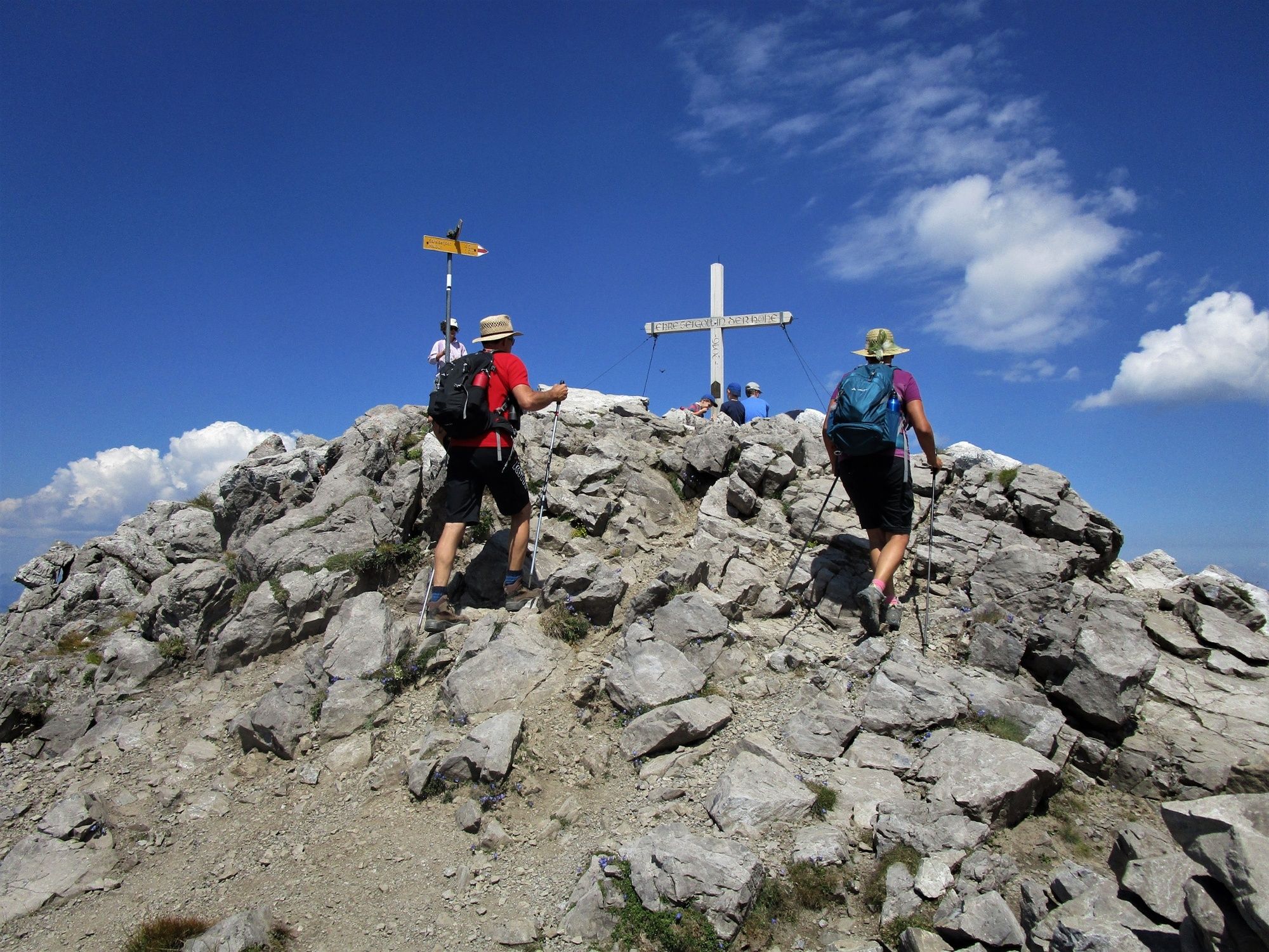
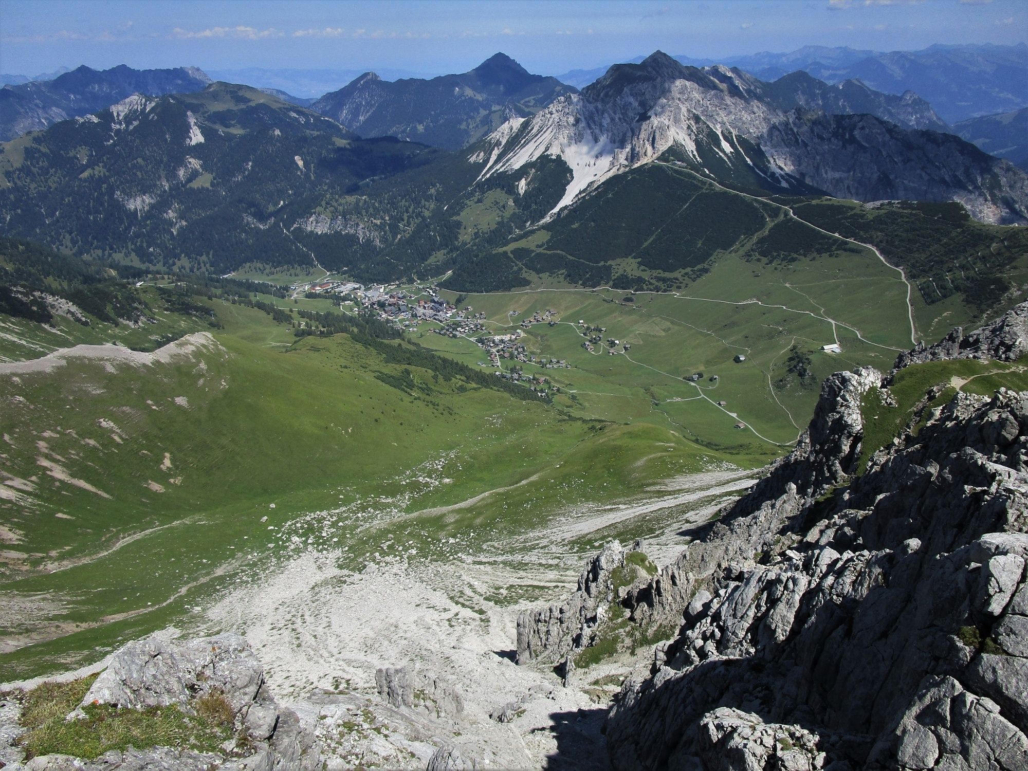
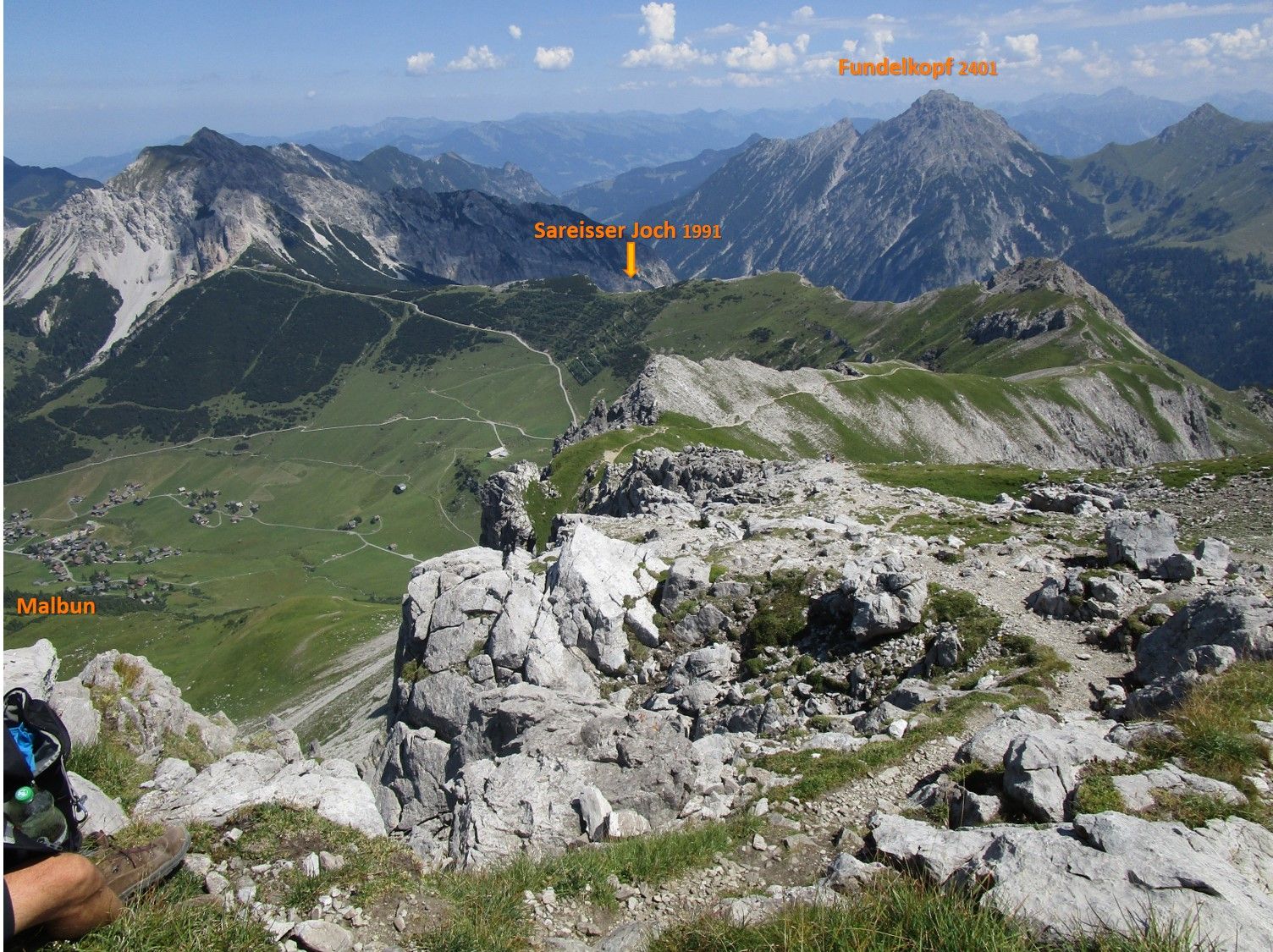
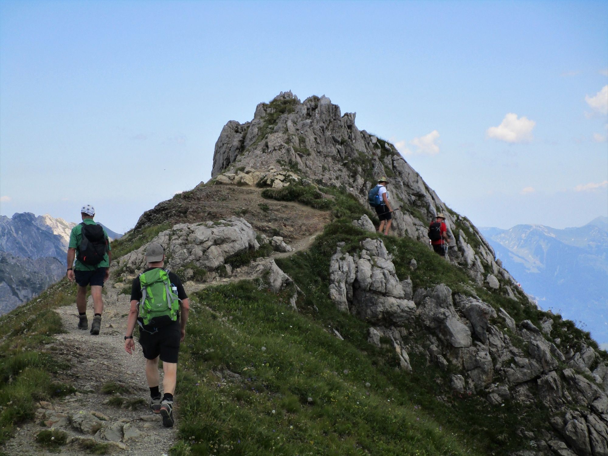
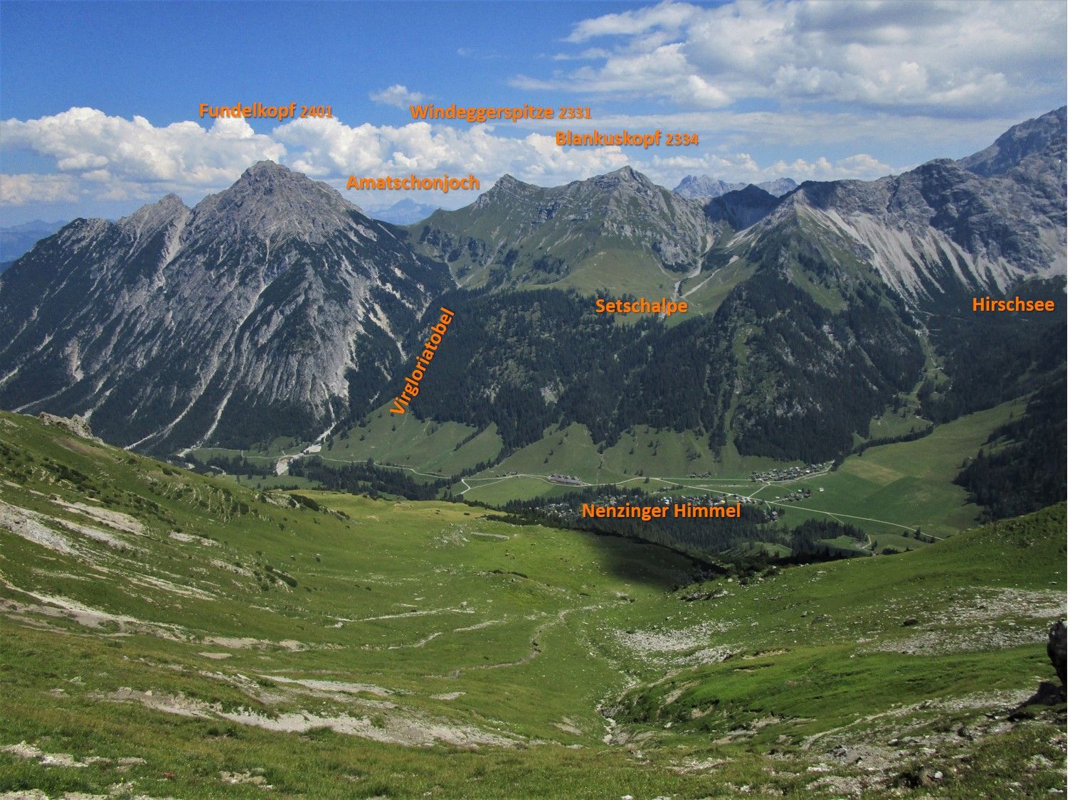
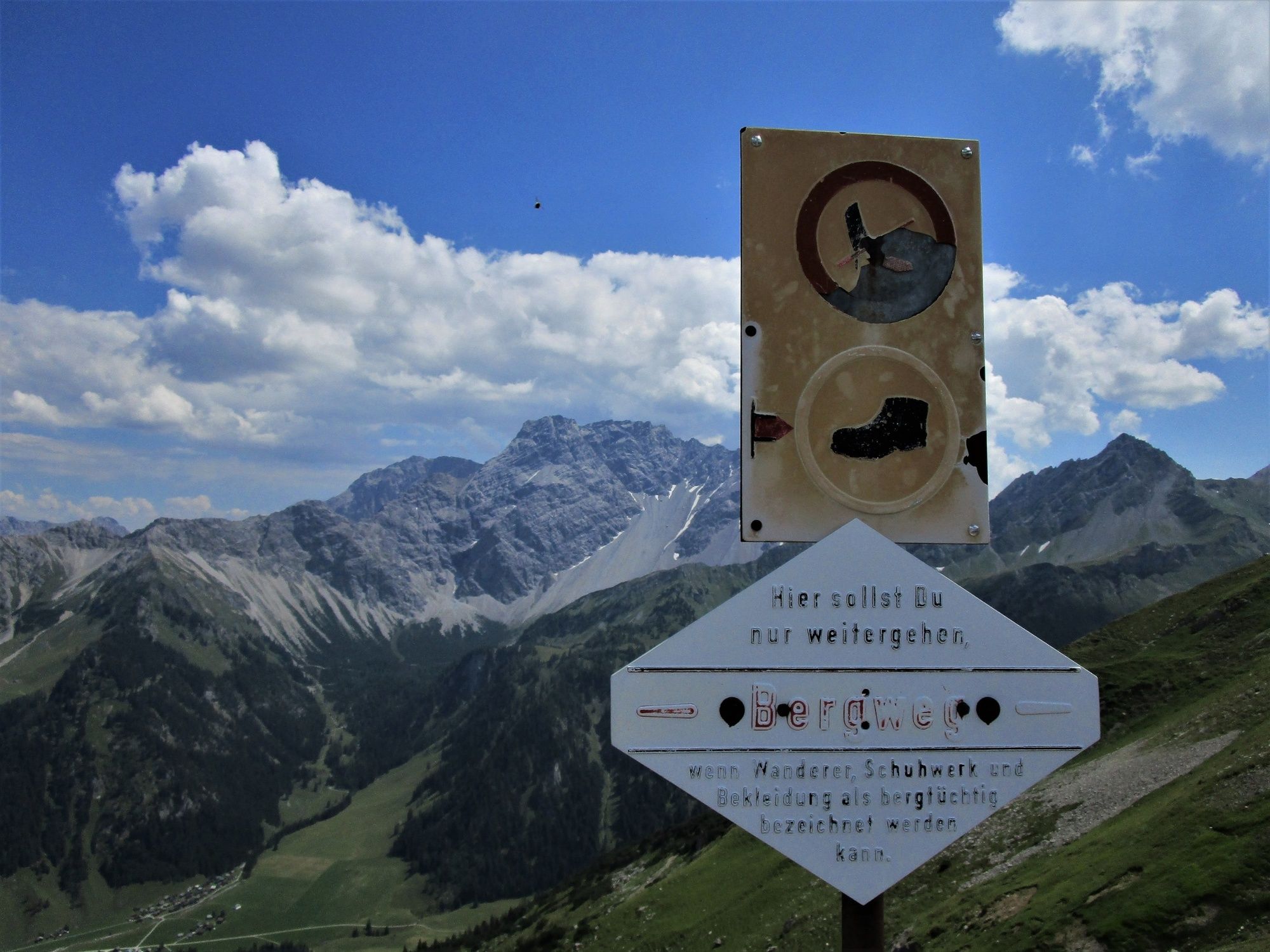
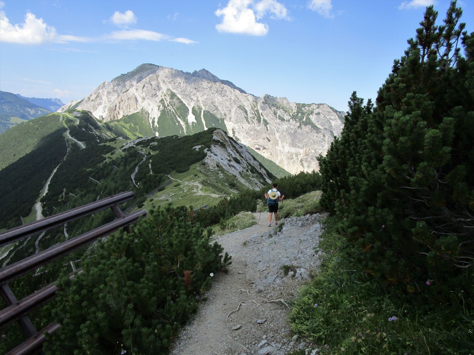
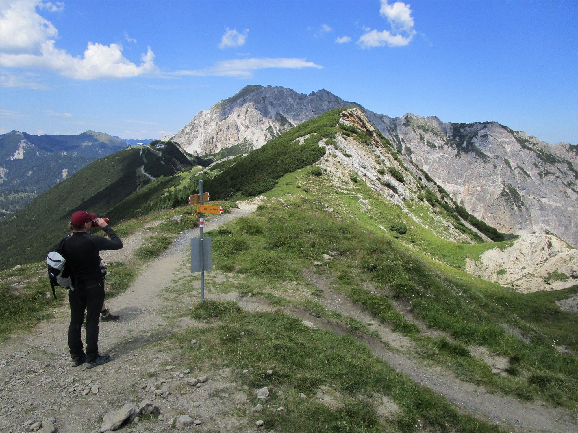
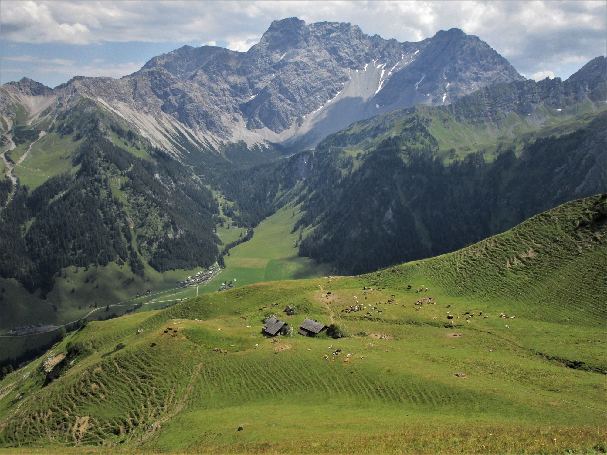
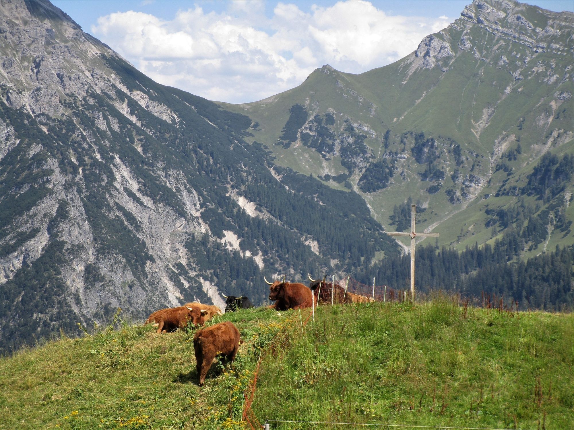
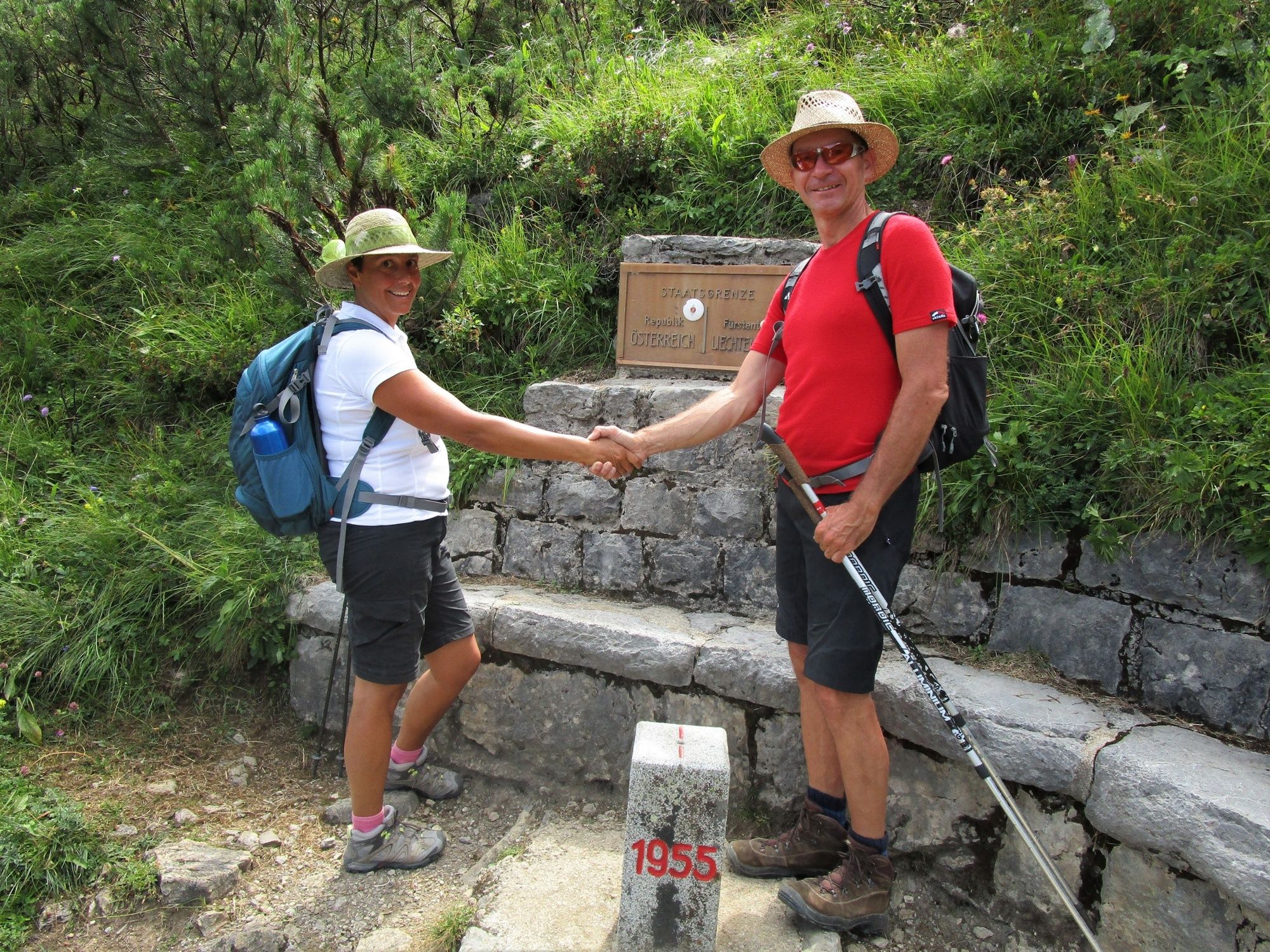
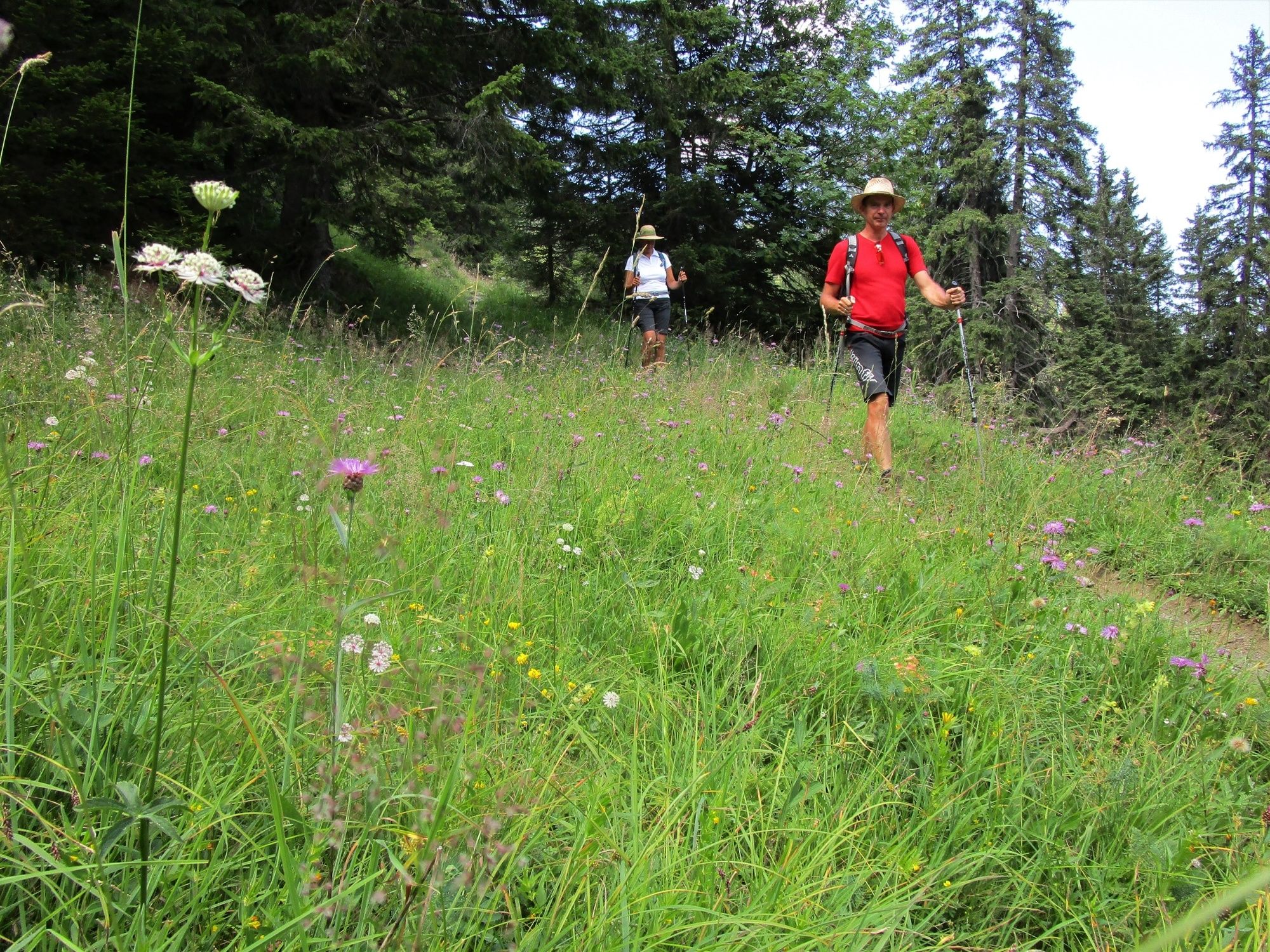
Panoramic high-altitude round hike across the Pfälzerhütte, the Augstenberg and the Sareiserjoch. The ascent to the Pfälzerhütte in particular passes through beautiful flower meadows. The hike along the ridge rewards the climbing effort with fascinating panoramic views from Lake Constance far into the Glarus Alps and the Rätikon.
- Greutăţi
-
greu
- Evaluare
-
- Ruta
-
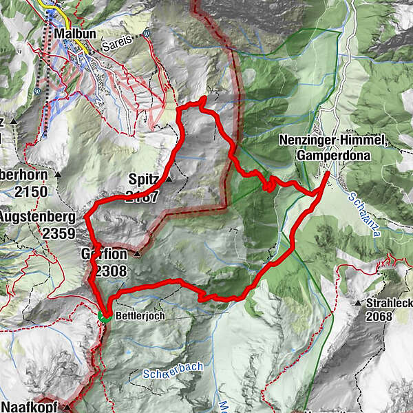
Stüberfall1,4 kmAlpe Güfel2,2 kmPfälzerhütte4,7 kmAugstenberg (2.359 m)6,2 kmSpitz (2.187 m)7,4 km
- Cel mai bun sezon
-
ianfebmaraprmaiiuniulaugsepoctnovdec
- Cel mai înalt punct
- 2.351 m
- Destinație
-
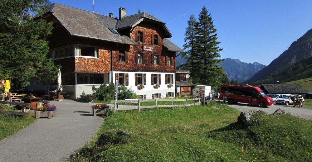
Nenzinger Himmel
- Profil de elevație
-


- Autor
-
Turul High-altitude tour: Nenzinger Himmel – Pfälzer Hütte – Augstenberg este utilizat de outdooractive.com furnizat.
GPS Downloads


Informaţii generale
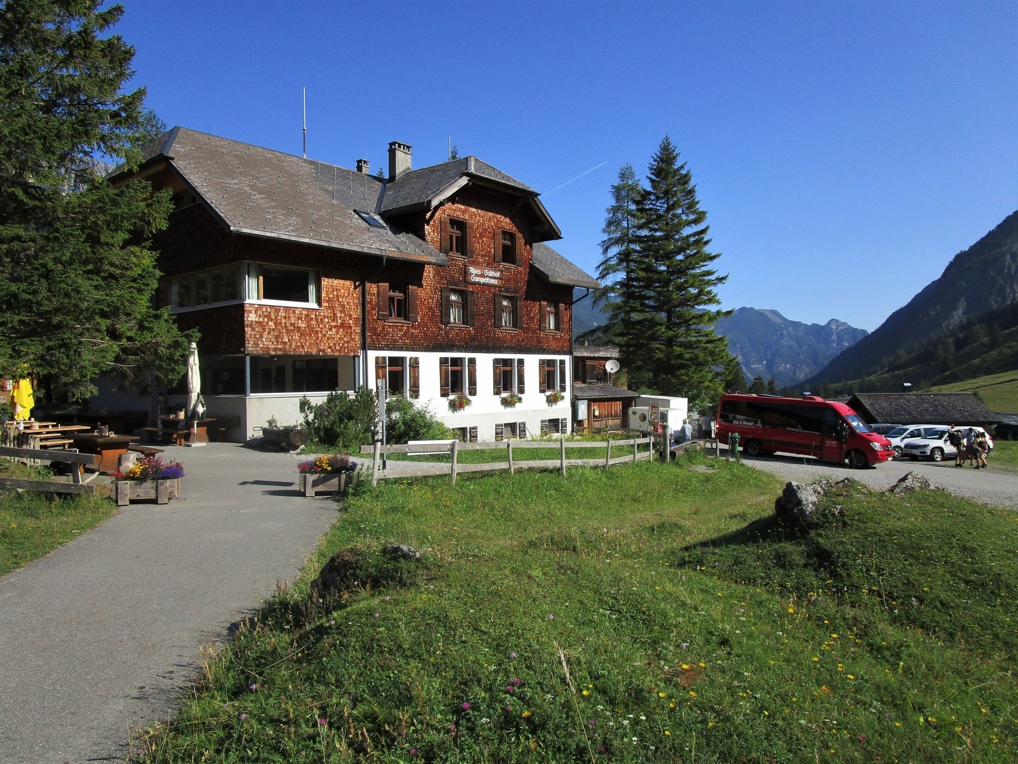
Oprire pentru băuturi răcoritoare
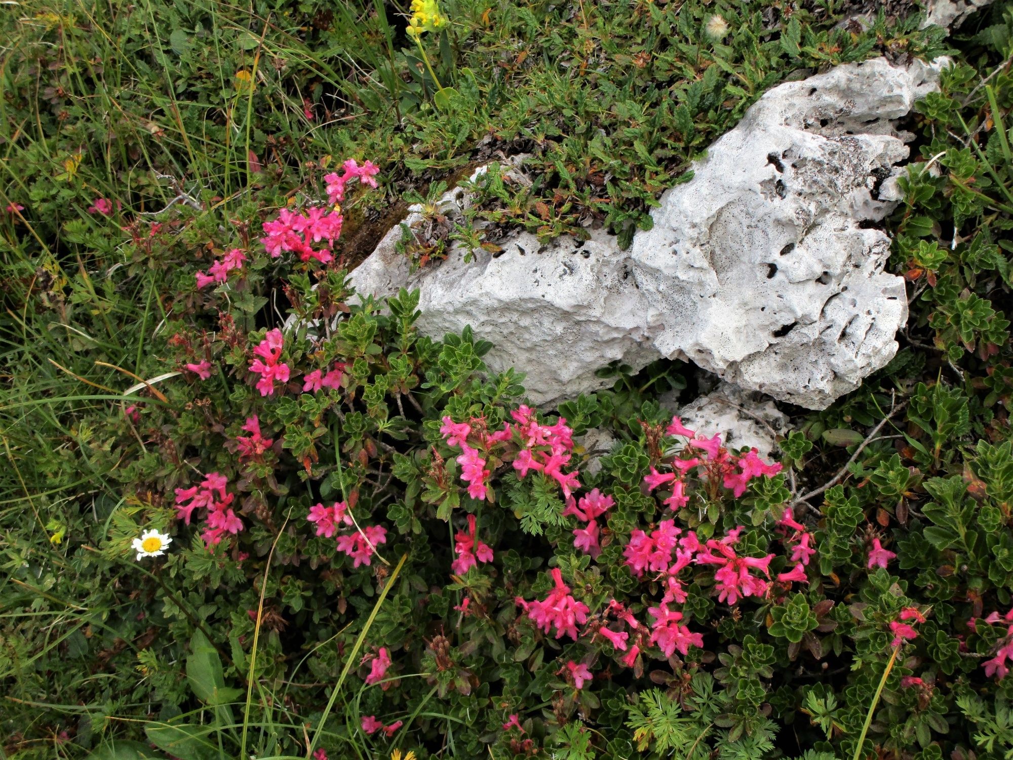
Flora
Promițător
Mai multe tururi în regiuni
-
Heidiland
2199
-
Liechtenstein
1287
-
Malbun
308


