Informaţii pentru tur
5,93km
361
- 449m
95hm
95hm
01:35h
- Scurtă descriere
-
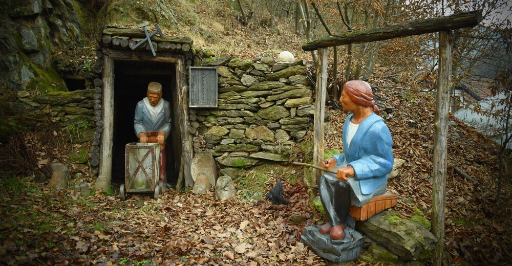
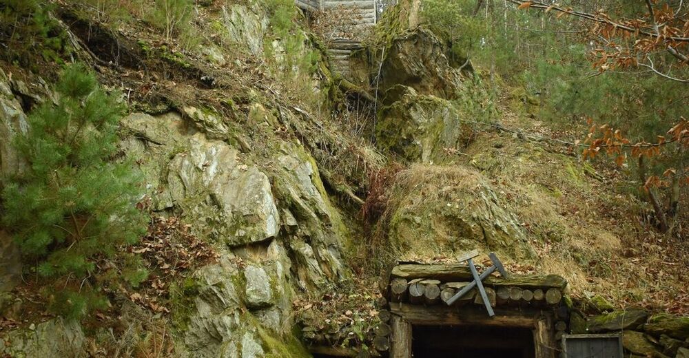
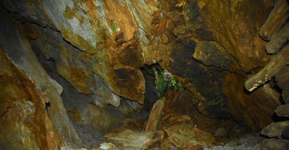
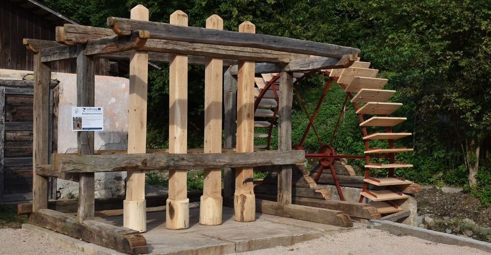
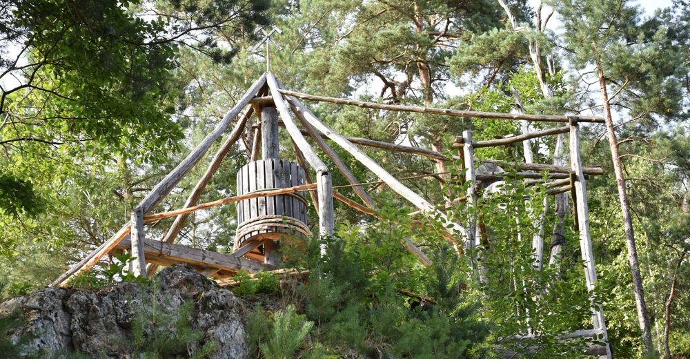
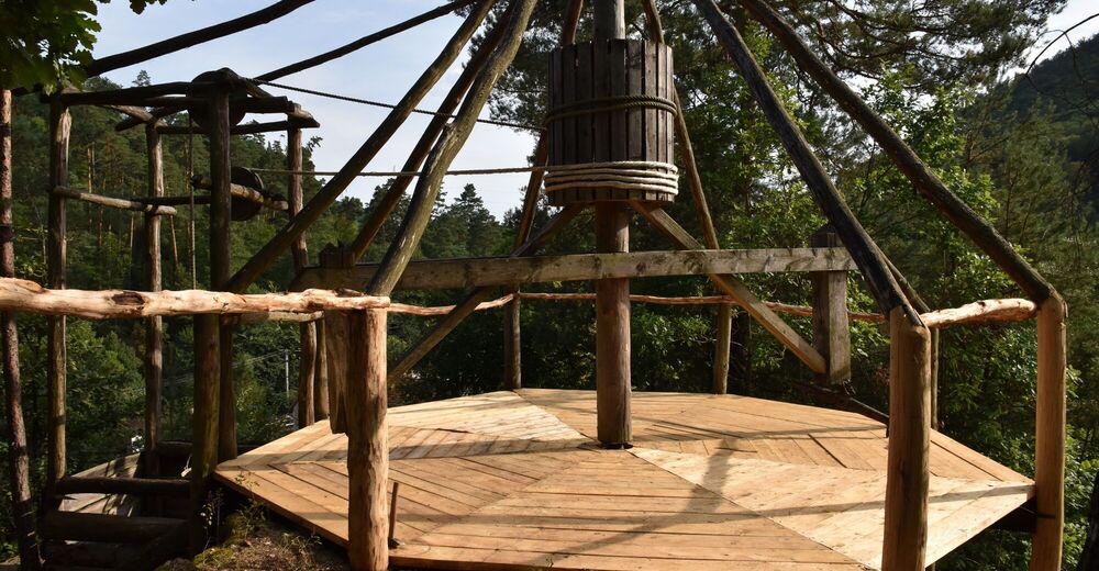
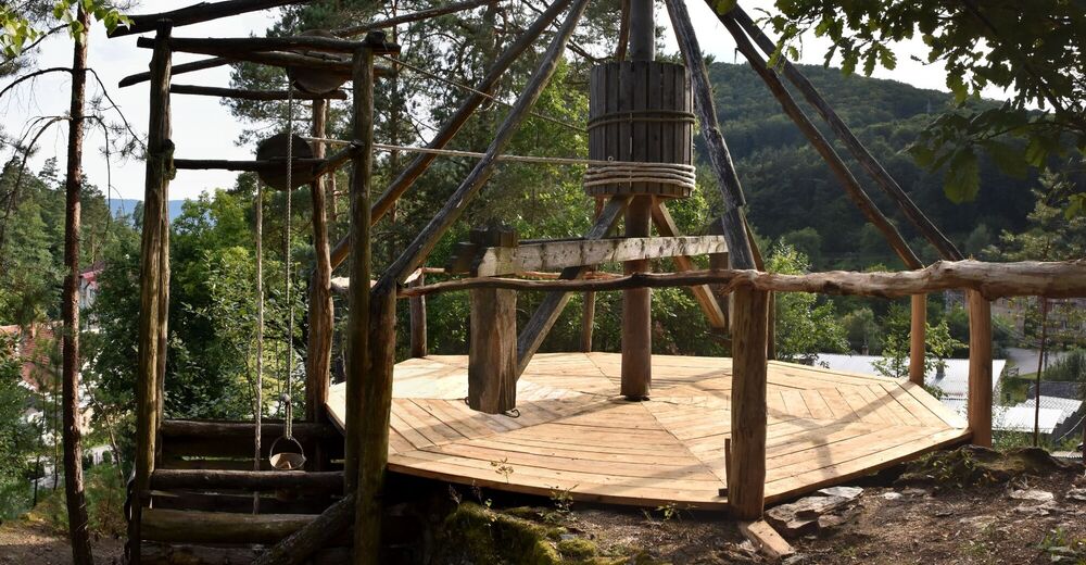
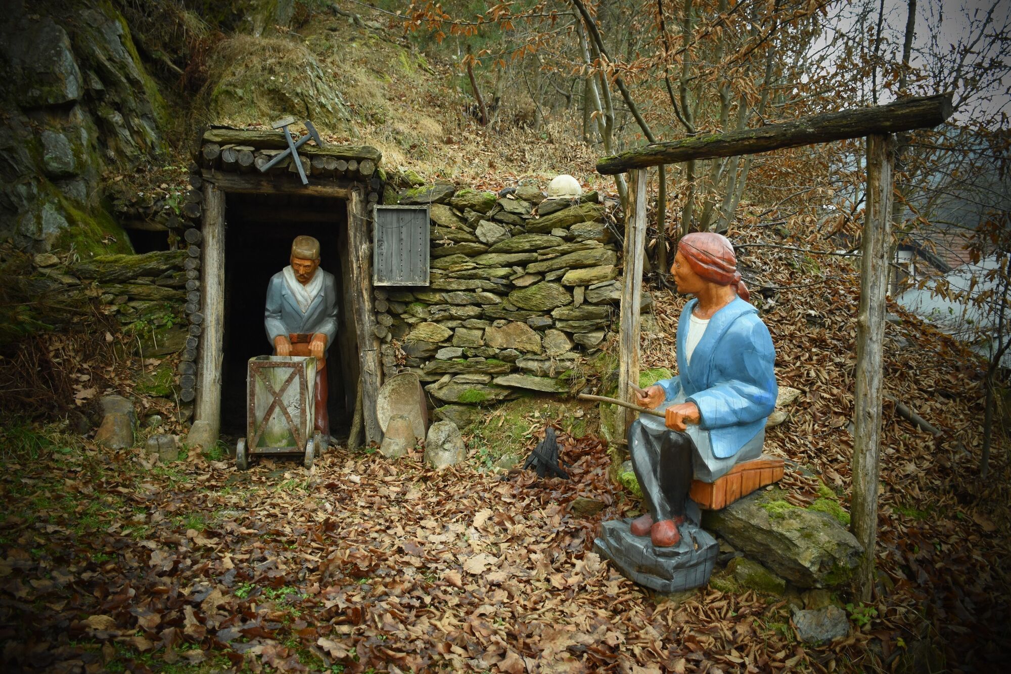
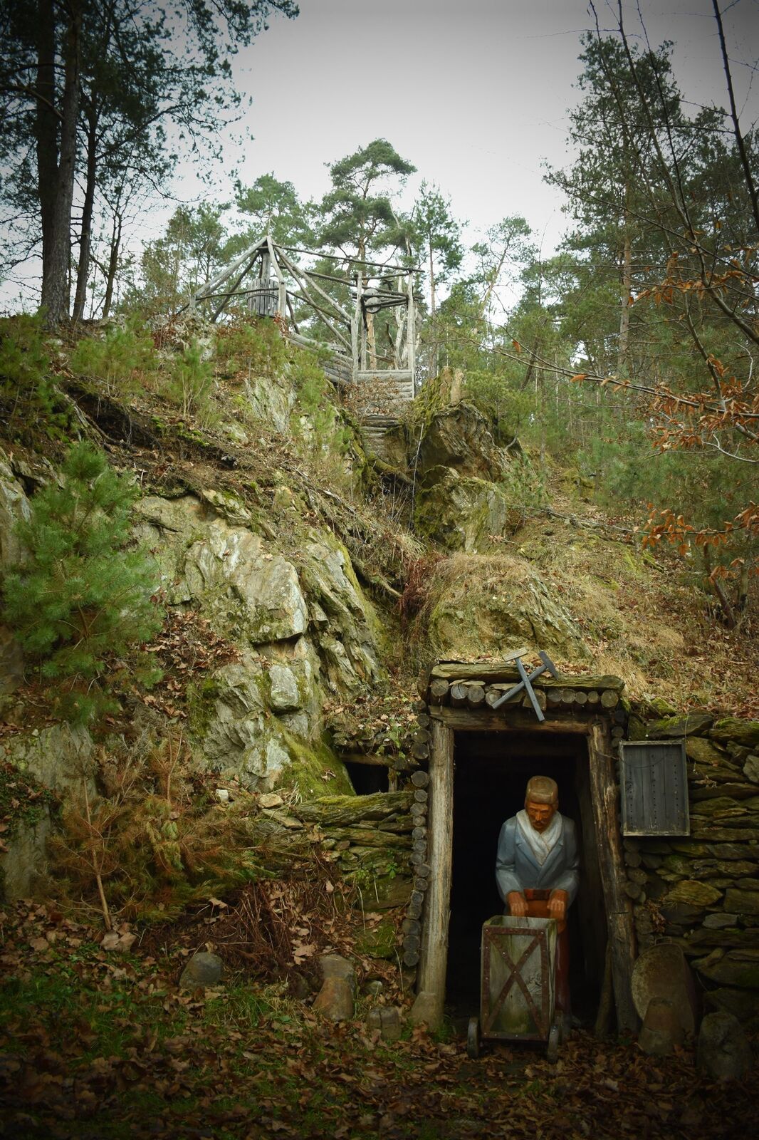
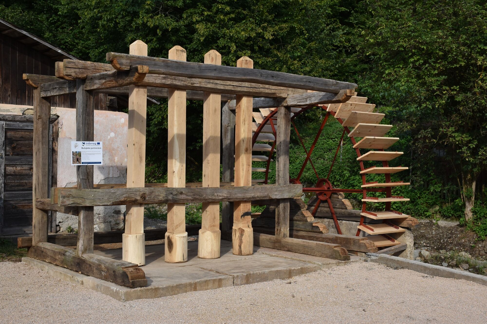
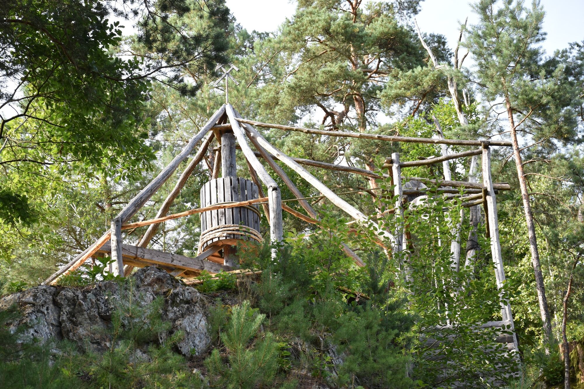
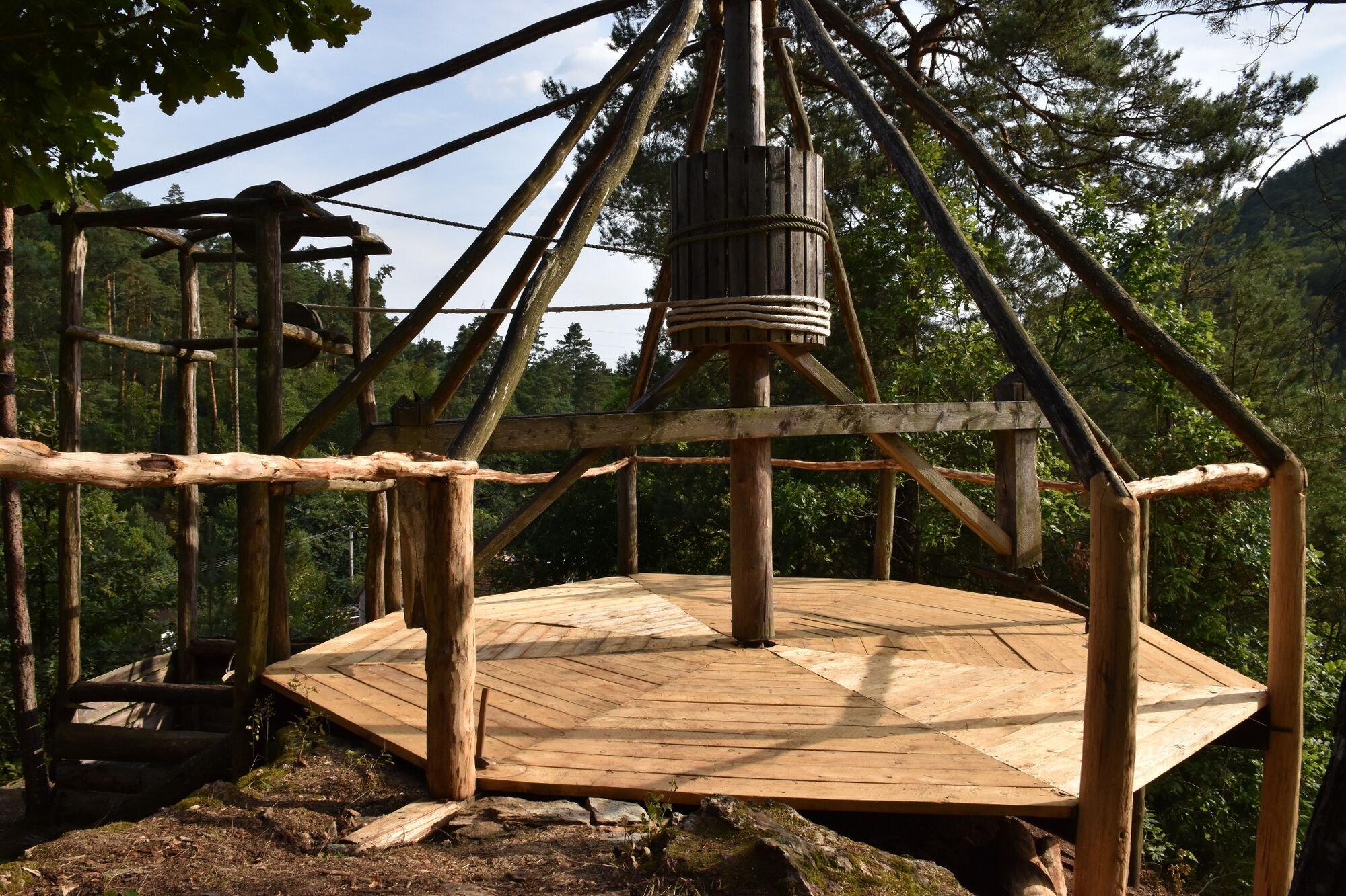
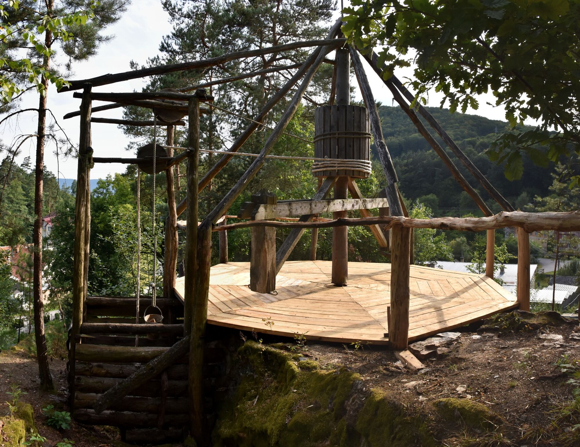
On the nature trail you will find a mining cart, a mill wheel, hand mined tunnels called “kresanice” and a mining horse engine, still functional, which used to be driven by draft horses in the past.
- Ruta
-
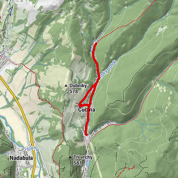
Čučma (647 m)0,6 kmČučma (647 m)5,2 km
- Cel mai bun sezon
-
ianfebmaraprmaiiuniulaugsepoctnovdec
- Cel mai înalt punct
- 449 m
- Destinație
-
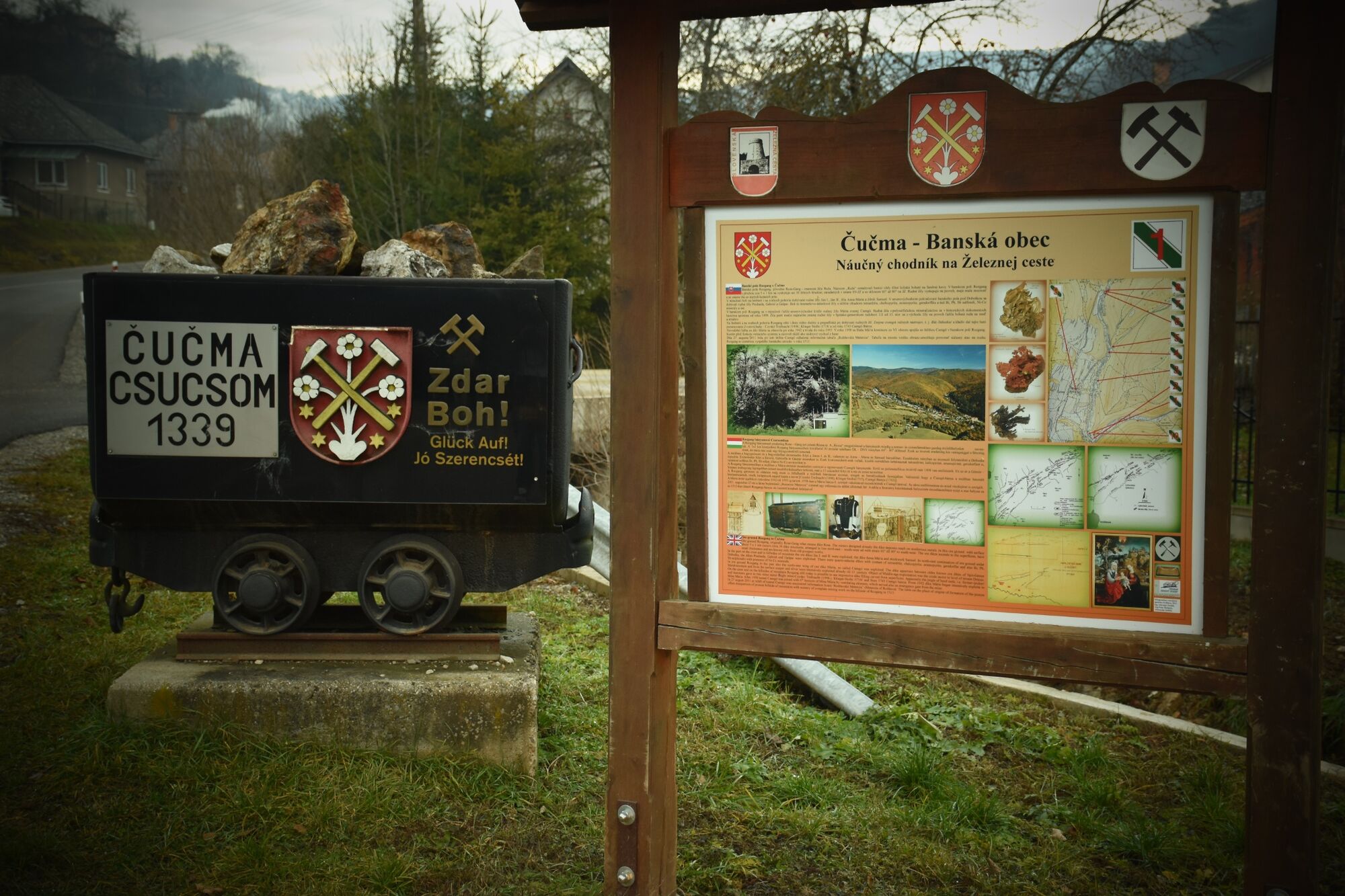
Čučma Rozgang
- Profil de elevație
-
 © outdooractive.com

- Autor
-
Turul The Nature Trail on the Iron Route in Čučma este utilizat de outdooractive.com furnizat.