© NLW Tourismus Marketing GmbH - Tourismusinfo Nassfeld-Pressegger See
- Scurtă descriere
-
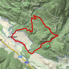
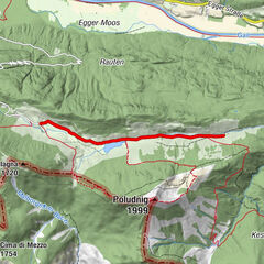
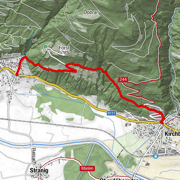
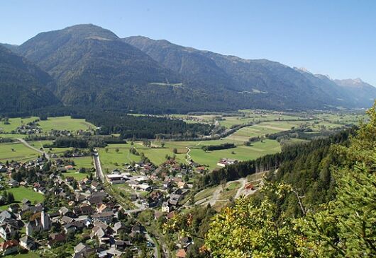
Von Kirchbach über Kirchbacher Leiten nach Unter- bzw. Oberforst und dann nach Reisach
- Greutăţi
-
uşor
- Evaluare
-
- Ruta
-
KirchbachForst1,9 kmReisach3,2 km
- Cel mai bun sezon
-
ianfebmaraprmaiiuniulaugsepoctnovdec
- Cel mai înalt punct
- 837 m
- Destinație
-
Reisach
- Profil de elevație
-

- Autor
-
Turul Kirchbach - Unter- bzw. Oberforst - Reisach este utilizat de outdooractive.com furnizat.
GPS Downloads


Informaţii generale
Sfat din interior
Promițător
Mai multe tururi în regiuni