

© Region Villach - Faaker See - Ossiacher See - Region Villach

© Region Villach - Faaker See - Ossiacher See - Region Villach

© Region Villach - Faaker See - Ossiacher See - Marc Horbal

© Region Villach - Faaker See - Ossiacher See - Region Villach
Informaţii pentru tur
8,17km
918
- 1.813m
891hm
894hm
04:30h


- Scurtă descriere
-
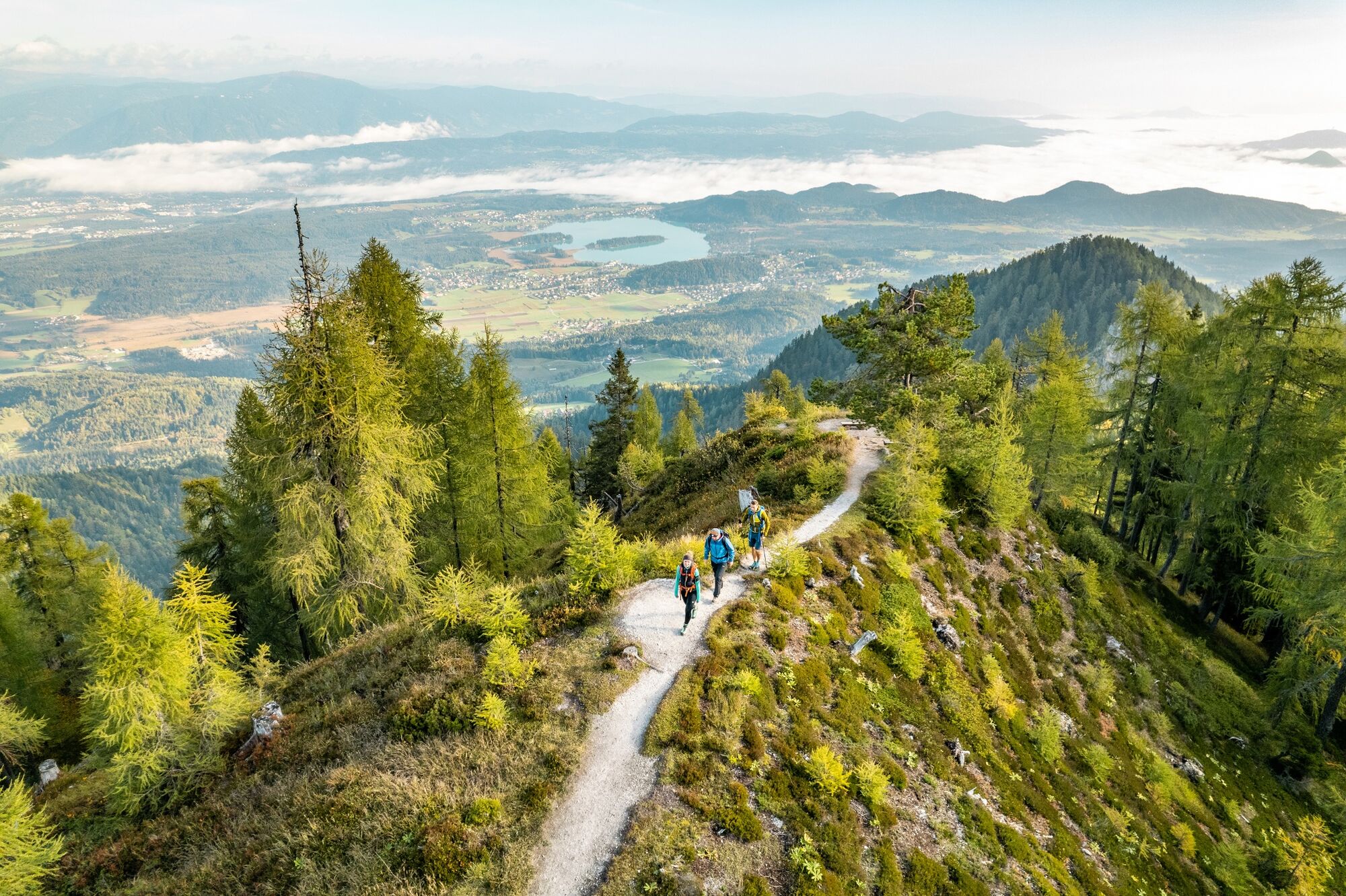
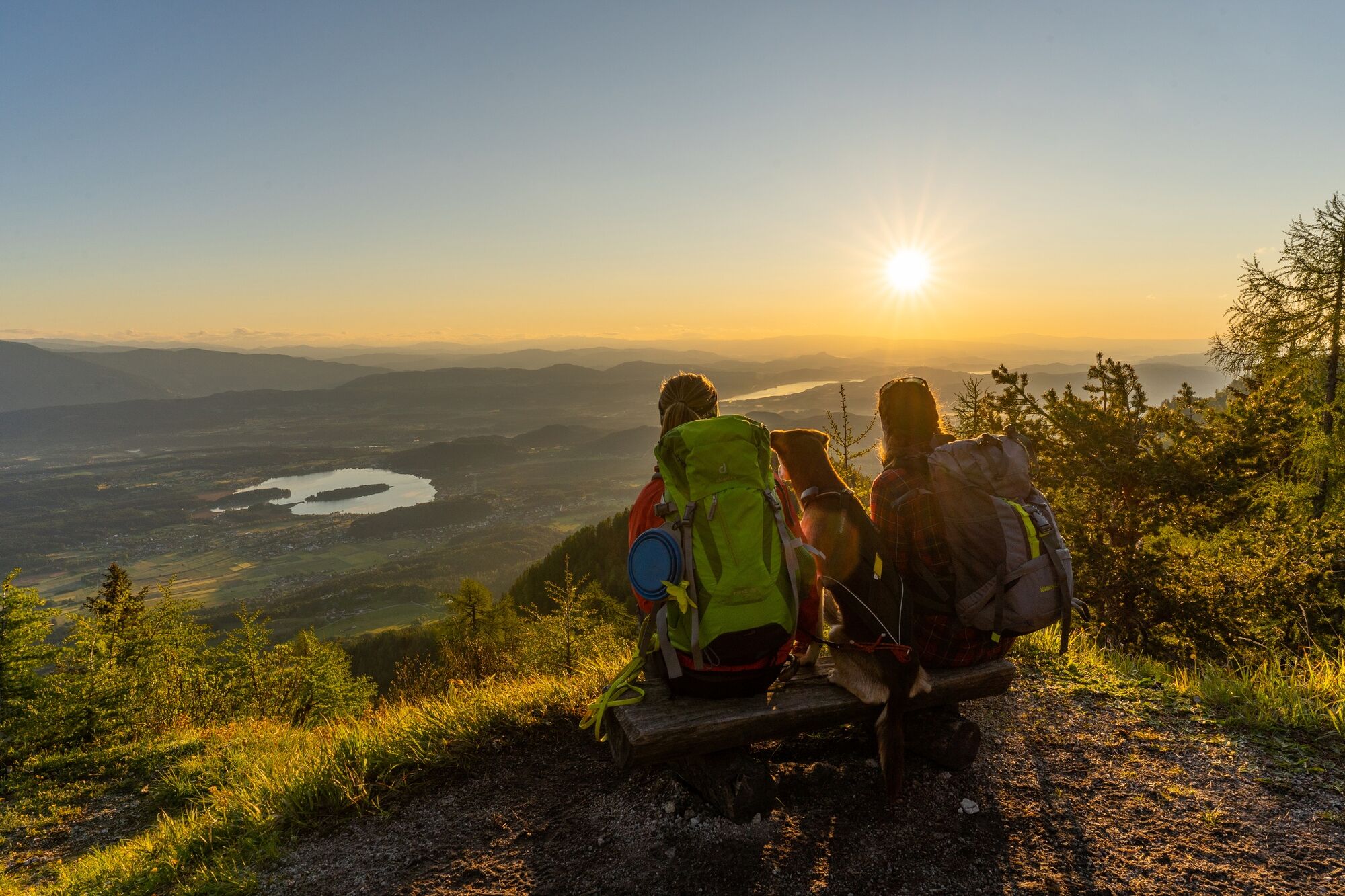
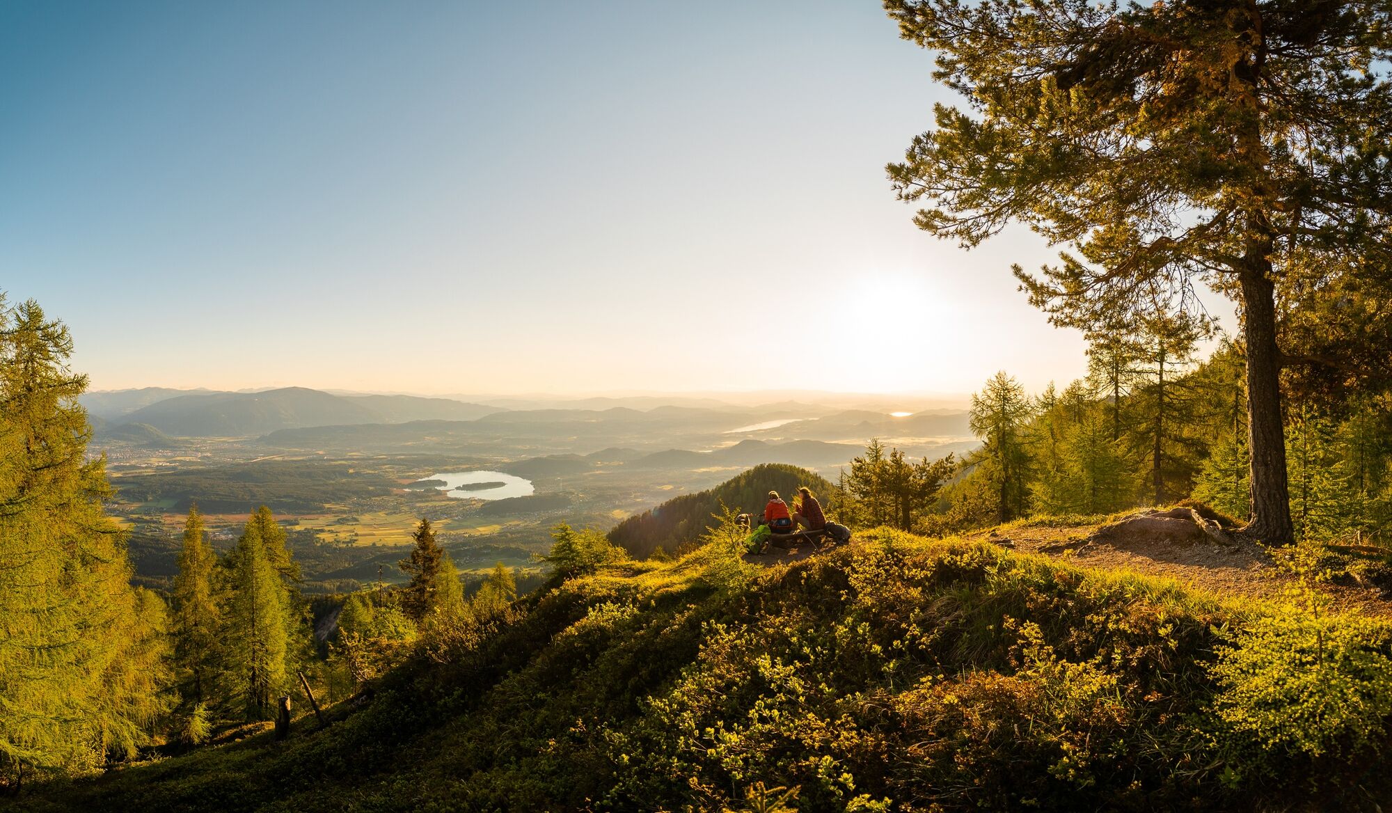
A historically interesting mountain tour up to a peak with great views, directly on the border.
- Greutăţi
-
mediu
- Evaluare
-
- Ruta
-
Rotschitzawasserfall1,2 kmRotschitzawasserfall6,9 km
- Cel mai bun sezon
-
ianfebmaraprmaiiuniulaugsepoctnovdec
- Cel mai înalt punct
- 1.813 m
- Destinație
-
Mallestiger Mittagskogel
- Profil de elevație
-


- Autor
-
Turul Mallestiger Mittagskogel este utilizat de outdooractive.com furnizat.
GPS Downloads


Informaţii generale
Oprire pentru băuturi răcoritoare
Cultural/Istoric
Flora
Promițător
Mai multe tururi în regiuni


