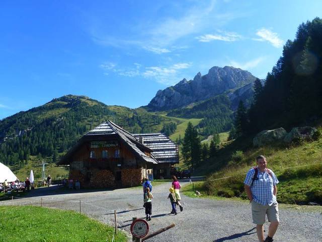
© Hotel Kreuzwirt - Franz Aigner

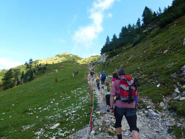
© Hotel Kreuzwirt - Franz Aigner

© Hotel Kreuzwirt - Franz Aigner

© Hotel Kreuzwirt - Franz Aigner

© Hotel Kreuzwirt - Franz Aigner

- Greutăţi
-
greu
- Evaluare
-
- Ruta
-
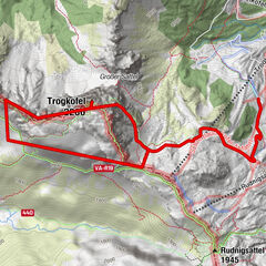
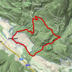
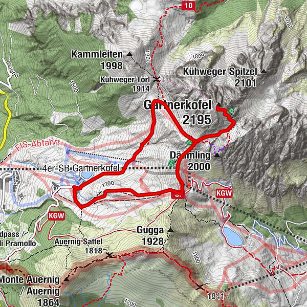
WatschigerAlm0,1 kmGartnerkofel (2.195 m)2,3 km
- Cel mai bun sezon
-
ianfebmaraprmaiiuniulaugsepoctnovdec
- Cel mai înalt punct
- 2.155 m
- Destinație
-
Gartnerkofel
- Profil de elevație
-


-

-
AutorTurul Gartnerkofel este utilizat de outdooractive.com furnizat.
GPS Downloads


Informaţii generale
Oprire pentru băuturi răcoritoare
Promițător
Mai multe tururi în regiuni