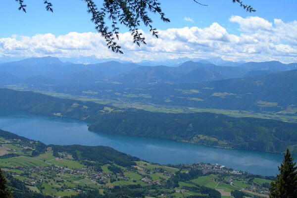
Informaţii pentru tur
12,12km
938
- 1.811m
928hm
931hm
05:30h
- Greutăţi
-
greu
- Evaluare
-
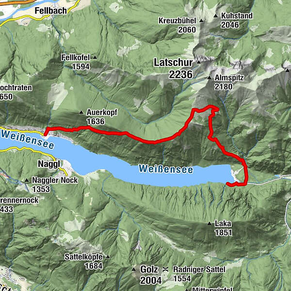
- Ruta
-
Zihagas3,1 kmStoisa-Sattel6,3 kmTechendorfer Alm (1.573 m)7,5 km
- Cel mai bun sezon
-
ianfebmaraprmaiiuniulaugsepoctnovdec
- Cel mai înalt punct
- 1.811 m
- Destinație
-
Techendorfer Alm
- Profil de elevație
-
-

-
AutorTurul Techendorfer Alm este utilizat de outdooractive.com furnizat.
GPS Downloads
Informaţii generale
Oprire pentru băuturi răcoritoare
Sfat din interior
Promițător
Mai multe tururi în regiuni


