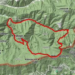
Informaţii pentru tur
5,12km
536
- 723m
266hm
261hm
01:46h
- Scurtă descriere
-
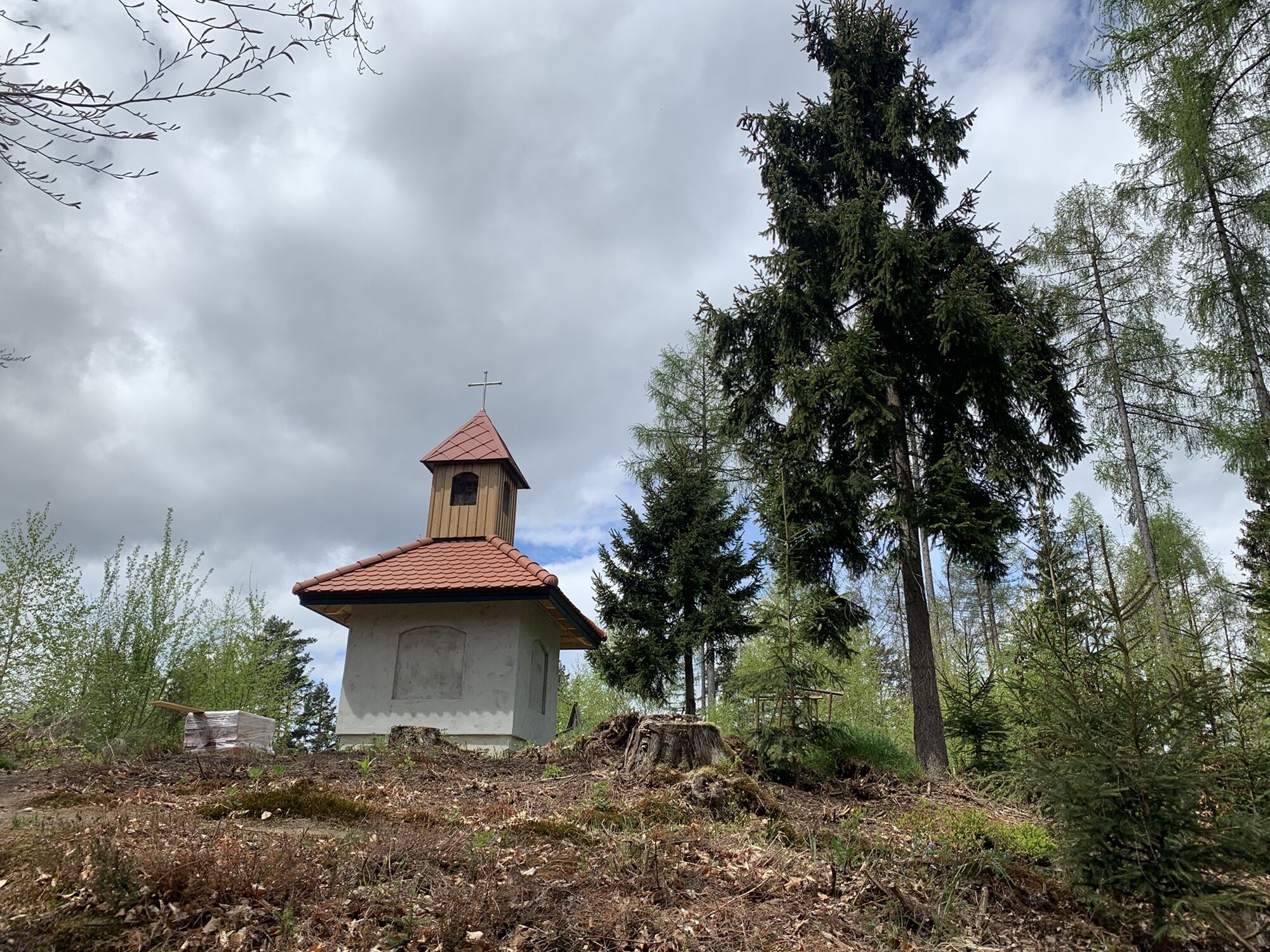
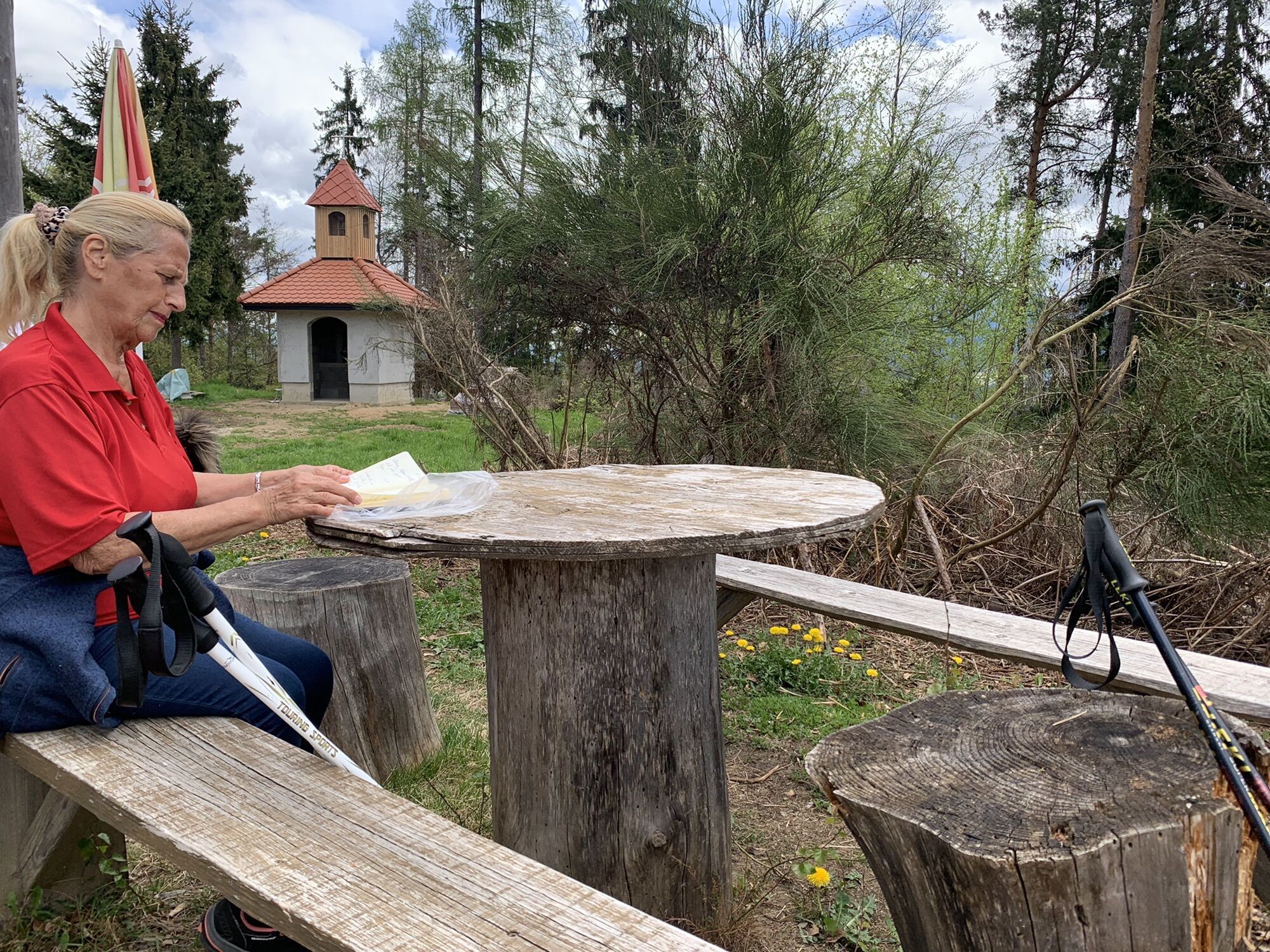
Wunderschön angelegter Weg. Leider noch nicht fertiggestellte Marterln.
- Greutăţi
-
uşor
- Evaluare
-
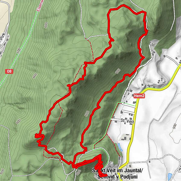
- Ruta
-
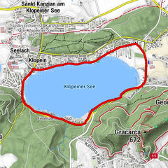
Vitushöhe (690 m)1,2 kmKoschitz (717 m)1,8 kmSankt Veit im Jauntal5,1 km
- Cel mai înalt punct
- 723 m


GPS Downloads


Mai multe tururi în regiuni
-
Klopeiner See - Südkärnten
1169
-
Gallizien
138